- National Register of Historic Places listings in Clay County, Missouri
-
This is a list of properties and historic districts in Clay County, Missouri, that are listed on the National Register of Historic Places. .
Contents: Counties in Missouri A–B · C · D–I · J–K · L–N · O–St. · St. Louis · Ste.–Z -
- This National Park Service list is complete through NPS recent listings posted November 4, 2011.[1]
Current listings
Landmark name Image Date listed Location City or Town Summary 1 Aker Cemetery November 13, 1974 NE of Smithville off MO W
39°24′40″N 94°32′44″W / 39.41111°N 94.54556°WSmithville 2 Antioch Christian Church April 2, 1979 4805 NE Antioch Rd.
39°10′53″N 94°32′52″W / 39.18139°N 94.54778°WKansas City 3 Armour Theatre Building June 24, 2008 400-410 Armour Rd.
39°8′33.26″N 94°34′32.36″W / 39.1425722°N 94.5756556°WNorth Kansas City 4 Arthur-Leonard Historic District January 4, 2001 Roughly bounded by Ford Ave., Jewell St., Choctaw St., and Missouri St.
39°14′41″N 94°24′56″W / 39.24472°N 94.41556°WLiberty 5 Atkins-Johnson Farmhouse Property November 7, 2007 6508 N Jackson Ave.
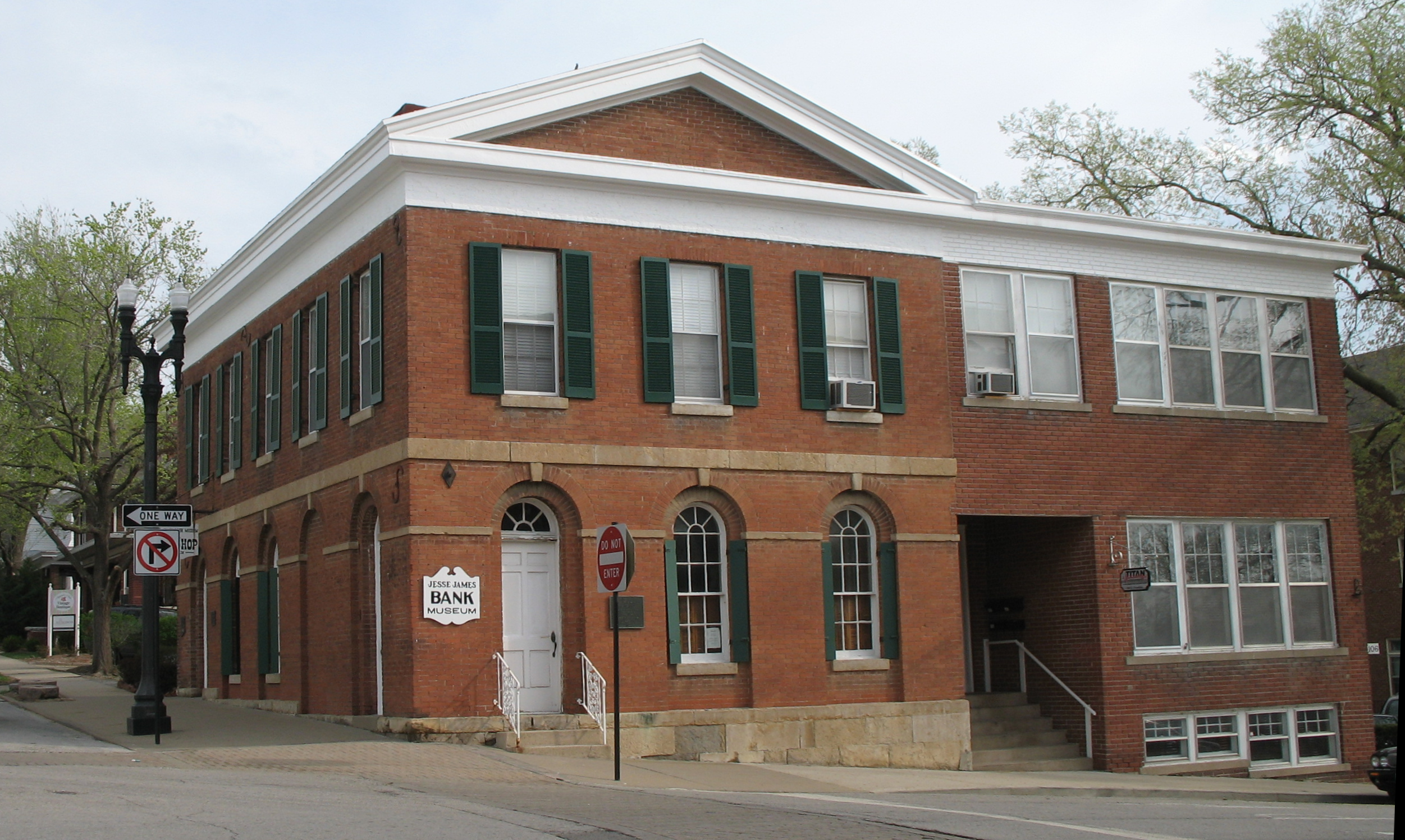
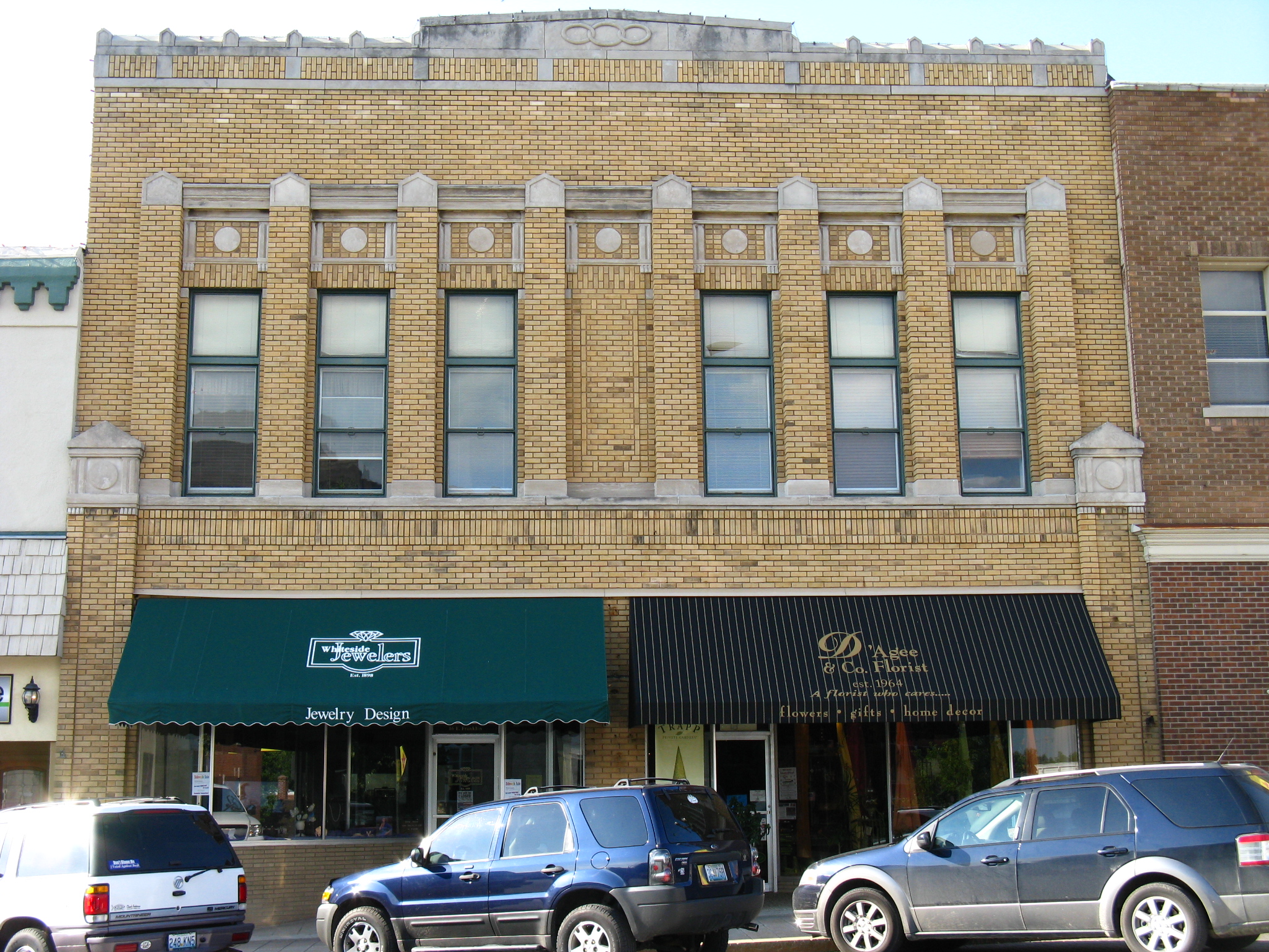
39°12′46″N 94°31′49″W / 39.21278°N 94.53028°WGladstone 6 Clay County Savings Association Building 
December 28, 1992 104 E. Franklin St.
39°14′50″N 94°25′8″W / 39.24722°N 94.41889°WLiberty 7 Claybrook House December 21, 1981 NE of Kearney
39°23′17″N 94°20′9″W / 39.38806°N 94.33583°WKearney 8 Clinton House November 22, 1978 404 S. Leonard St.
39°14′23″N 94°25′0″W / 39.23972°N 94.416667°WLiberty 9 Colonial Hotel June 24, 2010 328 E. Broadway
39°20′33″N 94°13′13″W / 39.3425°N 94.22028°WExcelsior Springs 10 Dr. James Compton House July 10, 1979 5410 NE Oak Ridge Rd.
39°11′47″N 94°30′43″W / 39.19639°N 94.51194°WKansas City 11 Dougherty-Prospect Heights Historic District January 4, 2001 Roughly bounded by Mississippi St., Gallatin St., Schrader St., and Fairview Ave.
39°14′52″N 94°25′32″W / 39.24778°N 94.42556°WLiberty 12 Elms Hotel 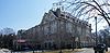
March 29, 1985 Regent and Elms Blvd.
39°20′14″N 94°13′32″W / 39.33722°N 94.22556°WExcelsior Springs 13 Excelsior Springs Hall of Waters Commercial East Historic District 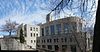
May 27, 1999 Roughly along portions of East and West Broadway and Main St.
39°20′39″N 94°13′19″W / 39.34417°N 94.22194°WExcelsior Springs 14 Excelsior Springs Hall of Waters Commercial West Historic District May 27, 1999 Roughly along portions of Thompson, and St. Louis Aves.; South, Main, Marietta, and Spring Sts.; and Elms Blvd.
39°20′33″N 94°14′13″W / 39.3425°N 94.23694°WExcelsior Springs 15 First Methodist Church October 28, 2009 114 N. Marietta St.
39°20′33.84″N 94°13′27.68″W / 39.3427333°N 94.2243556°WExcelsior Springs 16 Garrison School Historic District January 4, 2001 Roughly along N. Main St. and N. Water St.
39°15′14″N 94°25′14″W / 39.25389°N 94.42056°WLiberty 17 Hall of Waters June 9, 1983 201 E. Broadway
39°20′30″N 94°13′20″W / 39.34167°N 94.22222°WExcelsior Springs 18 Frank Hughes Memorial Library December 28, 1992 210 E. Franklin St.
39°14′50″N 94°25′3″W / 39.24722°N 94.4175°WLiberty 19 IOOF Liberty Lodge No. 49 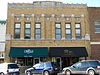
December 28, 1992 16-18 E. Franklin St.
39°14′50″N 94°25′10″W / 39.24722°N 94.41944°WLiberty 20 James Brothers' House and Farm 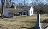
March 16, 1972 2.25 miles east of Kearney; also northeast of Kearney
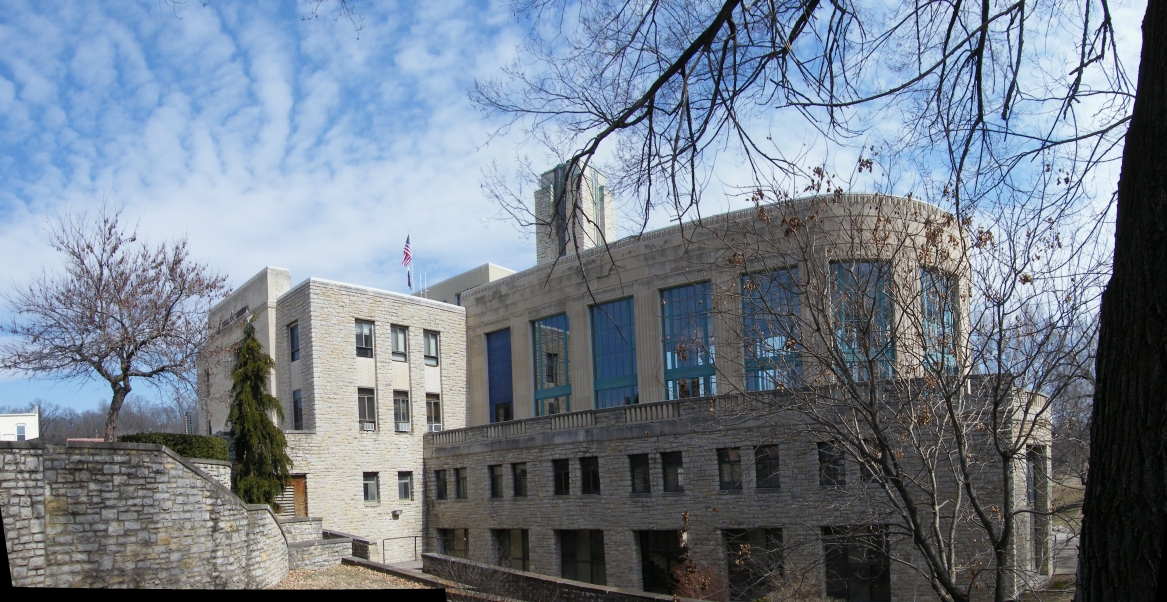
39°23′36″N 94°19′18″W / 39.39333°N 94.32167°WKearney Northeast of Kearney represents a boundary increase of September 27, 1978 21 Jewell Hall September 6, 1978 Jewell St. between Kansas and Mississippi Sts.
39°14′49″N 94°24′44″W / 39.24694°N 94.41222°WLiberty 22 Jewell-Lightburne Historic District January 4, 2001 Roughly bounded by N. Jewell St., E. Mill St., Main St. and Gordon St.
39°14′53″N 94°24′54″W / 39.24806°N 94.415°WLiberty 23 Ligon Apartments May 17, 2010 211 E Excelsior St.
39°14′53″N 94°24′54″W / 39.24806°N 94.415°WExcelsior Springs 24 Major Hotel December 28, 1992 112 E. Franklin St.
39°14′50″N 94°25′6″W / 39.24722°N 94.41833°WLiberty 25 Miller Building 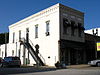
December 28, 1992 2 E. Franklin St.
39°14′50″N 94°25′12″W / 39.24722°N 94.42°WLiberty 26 Missouri City Savings Bank Building and Meeting Hall July 30, 2010 417-419 Main St.
39°14′18″N 94°17′39″W / 39.23833°N 94.29417°WMissouri City 27 Nebo Hill Archeological Site 
March 4, 1971 Address Restricted Liberty 28 Odd Fellows Home District September 15, 1987 MO 291
39°13′47″N 94°24′30″W / 39.22972°N 94.40833°WLiberty 29 Sears, Roebuck and Company Warehouse Building May 9, 1997 715 Armour Rd.
39°8′32″N 94°34′17″W / 39.14222°N 94.57139°WNorth Kansas City 30 South Liberty Courthouse Square Historic District December 28, 1992 2 S. Main St., 10 E. Kansas St., 1-17 E. Kansas St.
39°14′45″N 94°25′11″W / 39.24583°N 94.41972°WLiberty 31 Watkins Mill 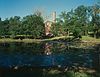
November 13, 1966 6 miles NW of Excelsior
39°24′36″N 94°15′45″W / 39.41°N 94.2625°WExcelsior Springs 32 West Liberty Courthouse Square Historic District December 28, 1992 12-16 N. Main St.
39°14′47″N 94°25′14″W / 39.24639°N 94.42056°WLiberty 33 Wheeling Corrugating Company Building October 21, 1994 820 E. 14th Ave.
39°8′4″N 94°34′14″W / 39.13444°N 94.57056°WNorth Kansas City 34 Woodneath February 17, 1978 8900 NE Flintlock Rd.
39°15′12″N 94°28′3″W / 39.25333°N 94.4675°WKansas City 35 Wyman School July 24, 2008 100 Dunbar St.
39°20′22.79″N 94°13′41.41″W / 39.3396639°N 94.2281694°WExcelsior Springs See also
References
- ^ "National Register of Historic Places: Weekly List Actions". National Park Service, United States Department of the Interior. Retrieved on November 4, 2011.
Municipalities and communities of Clay County, Missouri County seat: Liberty Cities Avondale | Excelsior Springs‡ | Gladstone | Glenaire | Holt‡ | Independence‡ | Kansas City‡ | Kearney | Liberty | Lawson‡ | Missouri City | Mosby | North Kansas City | Pleasant Valley | Smithville‡ | Sugar Creek‡

Villages Birmingham | Claycomo | Excelsior Estates‡ | Oaks | Oakview | Oakwood | Oakwood Park | Prathersville | Randolph
Townships Chouteau | Fishing River | Gallatin | Kearney | Liberty | Platte | Washington
Unincorporated
communityFootnotes ‡This populated place also has portions in an adjacent county or counties
U.S. National Register of Historic Places Topics Lists by states Alabama • Alaska • Arizona • Arkansas • California • Colorado • Connecticut • Delaware • Florida • Georgia • Hawaii • Idaho • Illinois • Indiana • Iowa • Kansas • Kentucky • Louisiana • Maine • Maryland • Massachusetts • Michigan • Minnesota • Mississippi • Missouri • Montana • Nebraska • Nevada • New Hampshire • New Jersey • New Mexico • New York • North Carolina • North Dakota • Ohio • Oklahoma • Oregon • Pennsylvania • Rhode Island • South Carolina • South Dakota • Tennessee • Texas • Utah • Vermont • Virginia • Washington • West Virginia • Wisconsin • WyomingLists by territories Lists by associated states Other  Category:National Register of Historic Places •
  Portal:National Register of Historic PlacesCategories:
- Clay County, Missouri
- National Register of Historic Places in Missouri
-


Wikimedia Foundation. 2010.