- Mitchell Site
-
Mitchell Site
Nearest city: Mitchell, South Dakota Governing body: Private NRHP Reference#: 66000712[1] Significant dates Added to NRHP: October 15, 1966[2] Designated NHL: July 19, 1964[1] The Mitchell Site is an archaeological site in Davison County, South Dakota, near Mitchell, South Dakota. It was declared a National Historic Landmark in 1964.[1][3]
At the time of the designation in 1964, it was stated:
Mitchell Site is the only reliably dated site (c. 1000) pertaining to the Lower James River Phase (Initial Variant) of the migration of late Woodland-Mississippian culture to the Middle Missouri Valley. It is distinctive for its evidence relating mortuary practices to other intra-site practices. [1]The site contains what was once a village made of lodges surrounded by palisades.[4]
See also
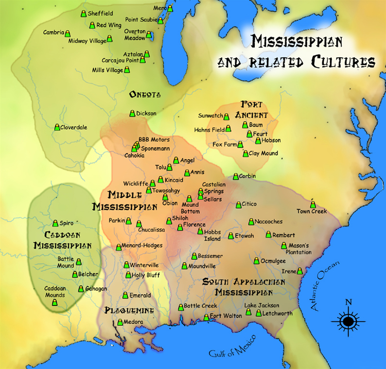
- Mississippian culture
- List of Mississippian sites
References
- ^ a b c d "Mitchell Site". National Historic Landmark summary listing. National Park Service. http://tps.cr.nps.gov/nhl/detail.cfm?ResourceId=534&ResourceType=Site. Retrieved 2008-06-22.
- ^ "National Register Information System". National Register of Historic Places. National Park Service. 2008-06-22. http://nrhp.focus.nps.gov/natreg/docs/All_Data.html.
- ^ Note: A National Register of Historic Places Inventory-Nomination document should be available upon request from the National Park Service for this site, but it appears not to be available on-line from the NPS Focus search site.
- ^ http://www.mitchellindianvillage.org/archeology/index.php?id=21
External links
 Pre-Columbian North America
Archaeological cultures North American pre-Columbian chronology – Adena – Alachua – Ancient Pueblo (Anasazi) – Baytown – Belle Glade – Buttermilk Creek Complex – Caborn-Welborn – Calf Creek – Caloosahatchee – Clovis – Coles Creek – Deptford – Folsom – Fort Ancient – Fort Walton – Fremont – Glades – Glacial Kame – Hopewell (List of Hopewell sites) – Hohokam – Leon-Jefferson – Mississippian (List of Mississippian sites) – Mogollon – Monongahela – Old Cordilleran – Oneota – Paleo-Arctic – Paleo-Indians – Patayan – Plano – Plaquemine – Poverty Point – Prehistoric Southwest – Red Ocher – Santa Rosa-Swift Creek – St. Johns – Steed-Kisker – Tchefuncte – Tocobaga – Troyville
Archaeological sites Angel Mounds – Bandelier National Monument – The Bluff Point Stoneworks – Cahokia – Chaco Canyon – Casa Grande – Coso Rock Art District – Eaker – Effigy Mounds National Monument – Etowah Indian Mounds – Eva – Folsom Site – Fort Ancient – Fort Center – Gila Cliff Dwellings National Monument – Holly Bluff Site – Hopewell Culture National Historical Park – Kincaid Mounds – Kolomoki – Manitou Cliff Dwellings – Marksville – Meadowcroft Rockshelter – Mesa Verde – Moorehead Circle – Moundville – Mummy Cave – Nodena Site – Ocmulgee National Monument – Old Stone Fort – Parkin Park – Pinson Mounds – Portsmouth Earthworks – Poverty Point – Pueblo Bonito – Rock Eagle – Rock Hawk – Salmon Ruins – Serpent Mound – Spiro Mounds – SunWatch – Taos Pueblo – Toltec Mounds – Town Creek Indian Mound – Winterville
Miscellaneous Ballgame – Black drink – Buhl woman – Calumet – Chunkey – Clovis point – Container Revolution – Eastern Agricultural Complex – Eden point – Effigy mound – Falcon dancer – Folsom point – Green Corn Ceremony – Horned Serpent – Kennewick man – Kiva – Metallurgy – Mi'kmaq hieroglyphic writing – Medicine wheel – Mound builders – N.A.G.P.R.A. – Norse colonization of the Americas – Piasa – Pueblo dwellings – Southeastern Ceremonial Complex – Three Sisters agriculture – Thunderbird – Underwater panther
Related: Genetic history · Indigenous Portal of North America · Pre-Columbian era U.S. National Register of Historic Places Topics Lists by states Alabama • Alaska • Arizona • Arkansas • California • Colorado • Connecticut • Delaware • Florida • Georgia • Hawaii • Idaho • Illinois • Indiana • Iowa • Kansas • Kentucky • Louisiana • Maine • Maryland • Massachusetts • Michigan • Minnesota • Mississippi • Missouri • Montana • Nebraska • Nevada • New Hampshire • New Jersey • New Mexico • New York • North Carolina • North Dakota • Ohio • Oklahoma • Oregon • Pennsylvania • Rhode Island • South Carolina • South Dakota • Tennessee • Texas • Utah • Vermont • Virginia • Washington • West Virginia • Wisconsin • WyomingLists by territories Lists by associated states Other  Category:National Register of Historic Places •
  Portal:National Register of Historic PlacesCategories:
- Middle Mississippian culture
- Archaeological sites in South Dakota
- Native American archeology
- National Historic Landmarks in South Dakota
- Geography of Davison County, South Dakota
- Midwestern National Register of Historic Places stubs

Wikimedia Foundation. 2010.