- Etowah Indian Mounds
Infobox_nrhp | name =Etowah Mounds
nrhp_type = nhl
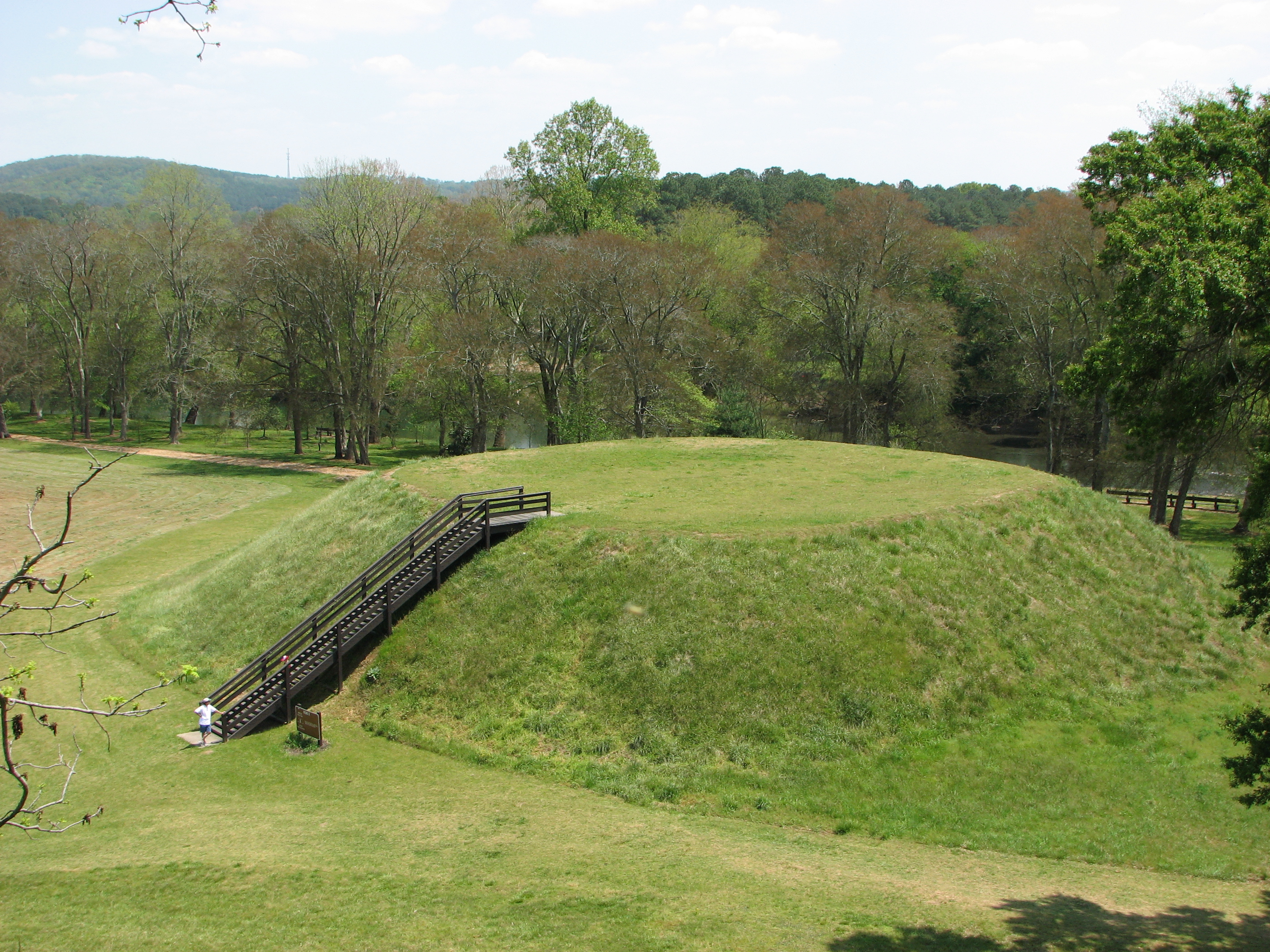
caption = Mound B, seen from Mound A
nearest_city=Cartersville, GA
area =
architect=
architecture=
designated =July 19 ,1964 cite web|url=http://tps.cr.nps.gov/nhl/detail.cfm?ResourceId=170&ResourceType=Site
title=Etowah Mounds|accessdate=2008-06-20|work=National Historic Landmark summary listing|publisher=National Park Service]
added =October 15 ,1966
governing_body = State
refnum=66000272 cite web|url=http://www.nr.nps.gov/|title=National Register Information System|date=2006-03-15|work=National Register of Historic Places|publisher=National Park Service]Etowah Indian Mounds is an
archaeological site inBartow County, Georgia south ofCartersville, Georgia in theUnited States . The site sits on the north shore of theEtowah River . "Etowah Indian Mounds Historic Site" is managed by theGeorgia Department of Natural Resources . There are three main mounds at the site and three lesser known mounds. The community was inhabited from about 1000-1550 A.D. by Native Americans of theMississippian culture . The town was occupied in three distinctarchaeological phase s: c. 1000-1200 AD, c. 1250-1375 AD, and c. 1375-1550 AD. Olderpottery found on the site suggest that there was an earlier village (c. 200 BC-600 AD) associated with theSwift Creek culture . This earlier middleWoodland period occupation at Etowah may have been related to the major Swift Creek center ofLeake Mounds , approximately two miles downstream (west) of Etowah.The town was protected by a sophisticated semi-circular
fortification system. An outer band formed by nut tree orchards prevented enemy armies from shooting masses of flaming arrows into the town. A deepmoat blocked direct contact by the enemy with thepalisade d walls. The moat also functioned as adrainage system during the major floods, which were common on the Etowah River until Allatoona Dam was built upstream in 1947. The timber palisade was formed by setting tree trunks into a ditch approximately 12 inches on center and then back-filling around the timbers to form a levee. Guard towers for archers were spaced approximately 80 feet apart.Artifacts discovered in burials within the Etowah site indicate that its residents developed an artistically and technically advanced culture. Numerouscopper tools,weapon s and ornamental plates accompanied these burials. Where proximity to copper protected the fibers from degeneration, archaeologists also found brightly colored cloth with ornate patterns. These were the remnants of the clothing of socialelite s. Numerous stone and clayfigurine s have been found through the years in the vicinity of Etowah. Many are paired statues, which portray a man sitting cross-legged and a woman kneeling. Both figures are wearing turbans and ornate, patterned cloth. Individual statues of young women also show them kneeling and ornately clothed, but with a variety of hair styles.Archaeological research on the subject is not conclusive, but the Etowah site may be the same as a village of a similar name visited by Spanish
conquistador Hernando deSoto in 1540. However, the chroniclers of the de Soto Expedition make no mention of any large mounds when visiting a town named "Itaba". "Itaba" means "boundary" or trail crossing in theAlabama language . The origin of the English name for the mounds, Etowah, is an archaic Muskogee place name, "Etalwa". "Etalwa" probably referred to the "solar cross" symbol originally, but in Modern Muskogee means a "mother town."Despite the fact that until the late 20th Century, Etowah was assumed by most Georgians to have been built by the Iroquoian-speaking
Cherokee s, the mound complex was unquestionably built by peoples more closely related to the Muskogean-speaking Creeks. Cherokees did not arrive in that part of Georgia until the late 1700s. Both the Oklahoma and Eastern Creeks consider "Etalwa" to be their most important ancestral town. Relevant to this, the official title of the Oklahoma Principal Chief is "Etalwa Mikko," from this source and the Creek word for chief, "miko". A new large scale model of Etalwa is on permanent display in the rotunda of the Muskogee (Creek) Capitol in Okmulgee, OK.Although
Cyrus Thomas andJohn P. Rogan tested the site for theSmithsonian Institution in 1883, the first well-documented archaeological inquiry at the site was conducted byWarren K. Moorehead , beginning in the winter of 1925. His excavations into Mound C at the site revealed an incredibly rich array ofMississippian culture burial goods. These artifacts, along with the collections fromCahokia , Moundville, Lake Jackson (Florida), andSpiro Mounds , would later become the majority of the materials used to define theSoutheastern Ceremonial Complex . The professional excavation of this enormous burial mound contributed a major research impetus to the study of Mississippian artifacts and peoples, and greatly increased the understanding of pre-Contact Native Americans artwork.The Etowah site was designated a
National Historic Landmark in 1964.ee also
*
Mississippian culture
*Southeastern Ceremonial Complex
*Chunkey
*Cahokia Mounds
*Mound builder (people)
*Kincaid Mounds State Historic Site
*American Bottom
*Angel Mounds
*Moundville Archaeological Site
*Spiro Mounds External links
* [http://www.LostWorlds.org/etowah_mounds.html LostWorlds.org | Etowah Mounds]
* [http://www.gastateparks.org/info/etowah/ Etowah Indian Mounds Historic Site]
* [http://www.georgiaencyclopedia.org/nge/Article.jsp?id=h-707&sug=y Mississippian culture in the New Georgia Encyclopedia]References
*1932 Explorations of the Etowah Site in Georgia: The Etowah Papers. Edited by Warren King Moorehead, Yale University Press.
*1985 Coosa: A Chiefdom in the Sixteenth-Century Southeastern United States. Charles Hudson; Marvin Smith; David Hally; Richard Polhemus; Chester DePratter. "American Antiquity", Vol. 50, No. 4., pp. 723-737.*2007 Ancient Roots I: The Indigenous People of the Southern Highlands. Richard L. Thornton, AIA Lulu Publishing Co., Morris, NC.
Wikimedia Foundation. 2010.