- Millstone Bluff
-
Millstone Bluff
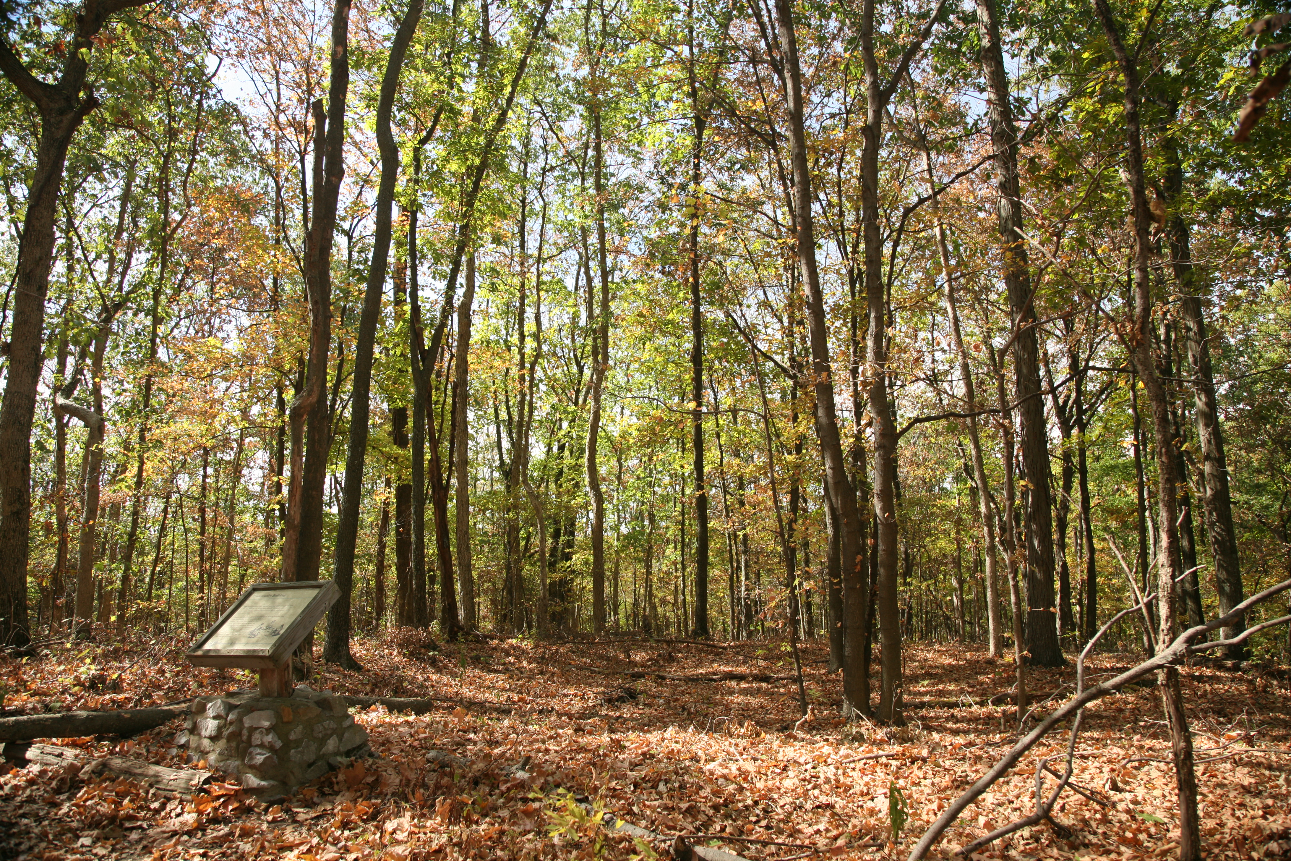
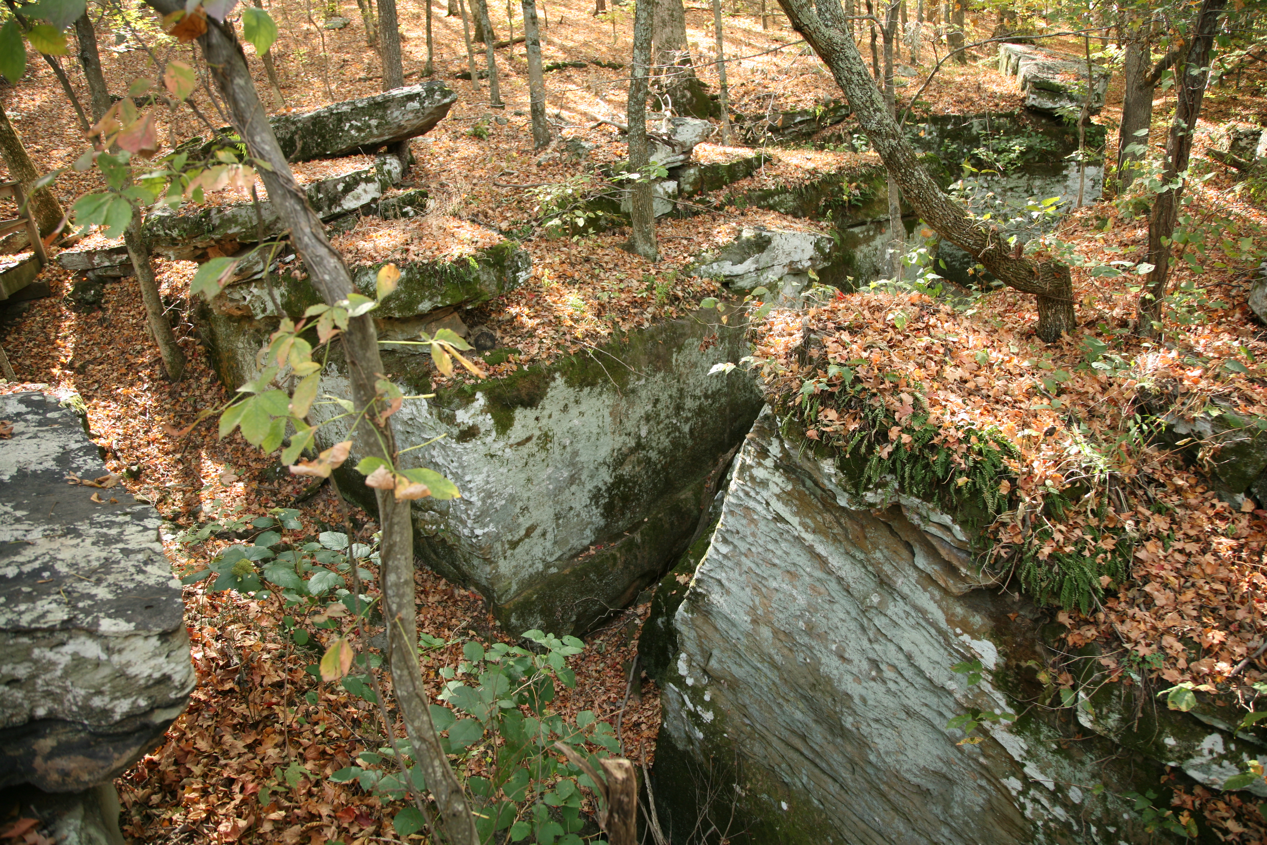
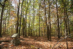 Soil depressions indicate the location of houses
Location: Pope County, Illinois, USA Nearest city: Glendale, Built: c. 1492-1540[1] Governing body: U.S. Forest Service NRHP Reference#: 73000716 Added to NRHP: October 15, 1973[2] Millstone Bluff is located somewhere near Glendale, Illinois[2] in Pope County. A natural formation, the bluff is listed on the National Register of Historic Places. Millstone Bluff is one of numerous sites nationwide to have its "address restricted" by the Register. These sites are often sensitive to attention and visits from the public for various reasons. It is one of two Registered Historic Places in Pope County; the other, in Golconda, is the Golconda Historic District.
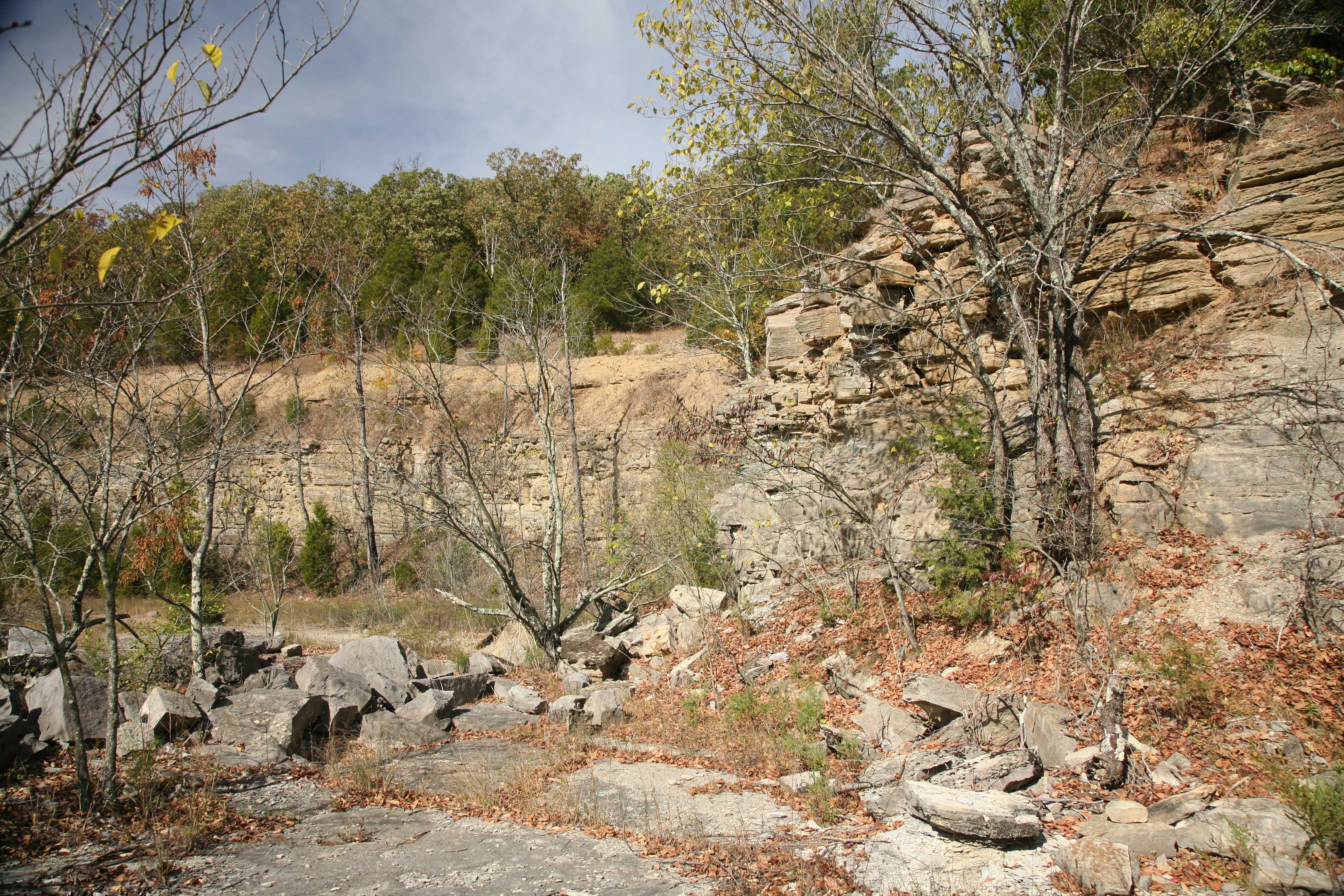
The bluff is home to a prehistoric Native American settlement used by Mississippian cultures during the Woodland period. The settlement site is little more than depressions sitting atop the bluff, which lies within the Shawnee National Forest. The United States Forest Service controls an interpretive trail to the site.[3] Aside from the remains of the Mississippian settlement, the bluff contains a prehistoric stone box cemetery, a rock art site, and a Late Woodland stone fort.[1]
Petroglyphs at this site include two thunderbirds, pipes, axes, a spider-like creature, turkey tracks, a humanoid form, and the cross and circle motif common to other petroglyph sites in southern Illinois.
-
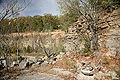
Early American settlers used the bluff as a millstone quarry.
-
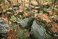
Petroglyph site on the northeast edge of the bluff
Notes
- ^ a b Archaeology at Millstone Bluff, Shawnee National Forest, U.S. Forest Service. Retrieved January 22, 2007.
- ^ a b >NRIS Database[dead link], National Register of Historic Places, retrieved January 22, 2007.
- ^ Millstone Bluff, Shawnee National Forest, U.S. Forest Service. Retrieved January 22, 2007.
Municipalities and communities of Pope County, Illinois County seat: Golconda City 
Village Precincts Eddyville No. 6 | Golconda No. 1 | Golconda No. 2 | Golconda No. 3 | Jefferson No. 4 | Webster No. 5
Unincorporated
communitiesAllens Spring | Bay City | Brownfield | Delwood | Dixon Springs | Glendale | Gowins | Hamletsburg | Hartsville | Herod | Hodgeville | Homberg | Julien Hill | Leisure City | Lusk | McCormick | New Liberty | Oak | Old Brownfield | Raum | Renshaw | Rising Sun | Robbs | Rock | Rosebud | Tansill | Temple Hill | Waltersburg | Watkins Ford
Categories:- NRHP articles with dead external links
- Middle Mississippian culture
- National Register of Historic Places in Illinois
- Geography of Pope County, Illinois
-
Wikimedia Foundation. 2010.