- Clintonville, Columbus, Ohio
-
 Walhalla, a ravine in Clintonville
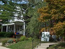 Typical homes on Tulane Rd in one of the large residential sections
Clintonville is an unincorporated neighborhood in north-central Columbus, Ohio, USA with around 30,000 residents.[1] Clintonville is an informal neighborhood. The southern border is loosely defined as Arcadia Avenue or the Glen Echo Ravine. To the east, either I-71 or the adjacent railroad tracks are commonly accepted. The western boundary is assumed to be the Olentangy River. The northern border of Clintonville is the most ambiguous, with definitions anywhere in the 3 mi (4.8 km) stretch from Cooke Road to the southern border of Worthington. The Clintonville Area Commission boundaries, as established by Columbus City Code, are "bounded on the south by the centerline of the Glen Echo Ravine; on the east by the centerline of the railroad right-of-way immediately east of Indianola Avenue; on the north by the Worthington city limits and on the west by the Olentangy River; each line extended as necessary so as to intersect with adjacent boundaries".[2]
As the cachet of the Clintonville neighborhood grew towards the turn of the 21st century, real estate agents began to label homes north of Cooke Road as being in Clintonville, leading to the apparent absorption of Beechwold and nearby neighborhoods south of Worthington. It was not uncommon in the booming real estate market circa 2000 to even find homes outside of the distinct east and west borders being sold as "Clintonville" homes. Because Clintonville and Beechwold have no official existence, however, the boundaries are a matter of opinion. The area also contains the former unincorporated community of Evanston, a name that was used by the Big Four Railroad as a station along its line and U.S. Postal service until the 1920s. Clintonville includes parts of ZIP codes 43202 and 43214. The United States Post Offices at the center of each ZIP code are known as Clintonville Station and Beechwold Station, respectively.
Contents
Gallery
-
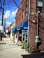
High Street in Clintonville
-
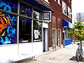
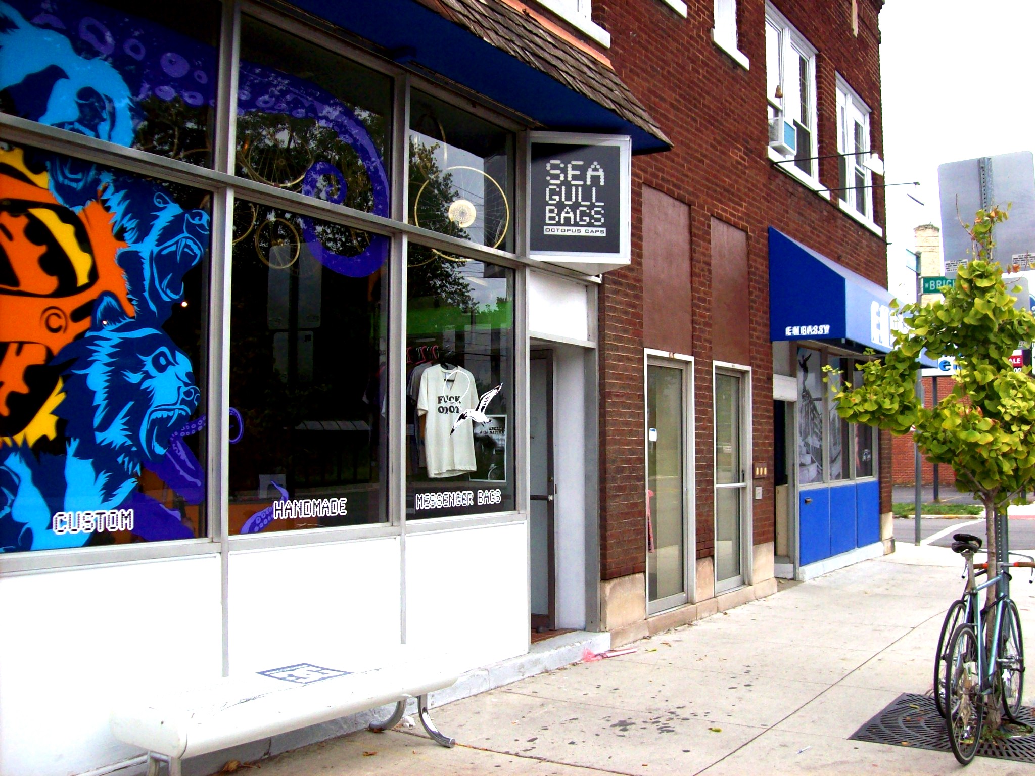
New stores
-
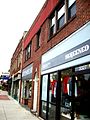
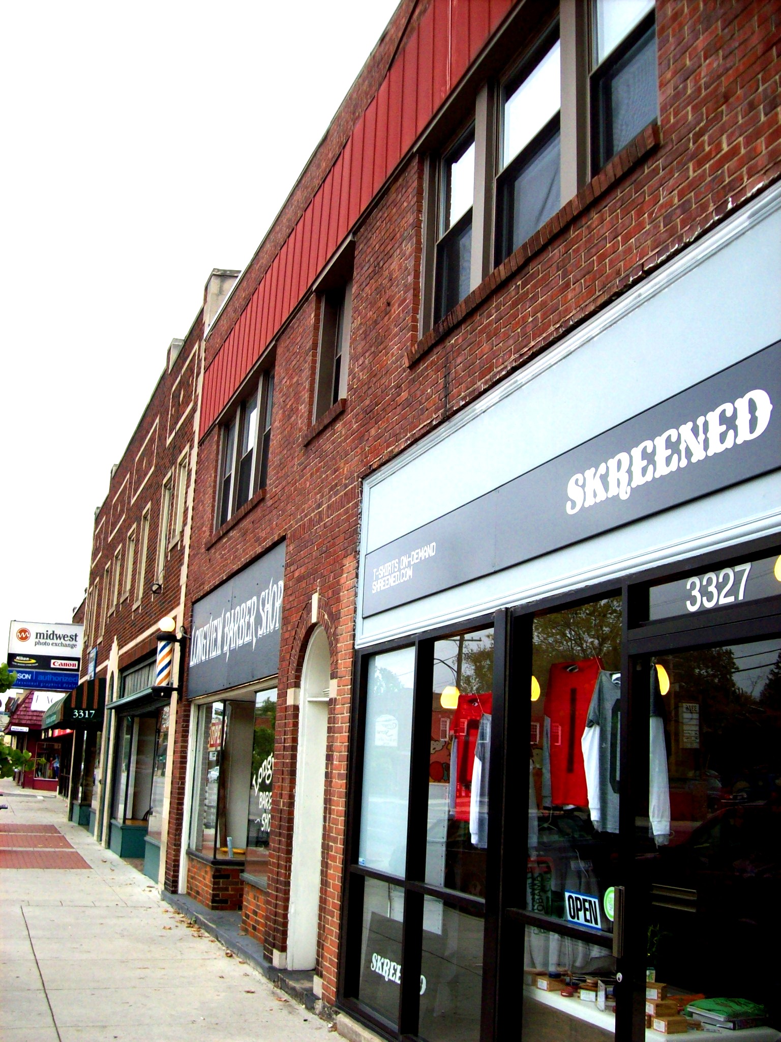
Commercial strip
History
The community of Clintonville developed as the center of Clinton Township (named for the U.S. Vice President George Clinton), part of the land grants given to Continental Army soldiers in lieu of pensions in what used to be Wyandotte Indian territory. For years, the steep hillsides discouraged development, until farmland was purchased by the Bull family and then used for religious services. Clinton Chapel (now a funeral home) was constructed in 1838 and served as a stop on the Underground Railroad over the next two decades.
In an attempt to draw others to the area and lessen the isolation of their farm, the Bulls built businesses in the center of Clinton Township, along the plank toll road that later became High Street, the main north-south thoroughfare connecting Columbus to Worthington, Ohio to the north. They offered to give these buildings away to any skilled laborers who would stay. A post office designated "Clintonville" opened in the center of this district on September 13, 1847, and this date is marked by present-day Clintonville residents as the neighborhood's "birthday".
By the early 1900s, downtown Columbus residents and professors from Ohio State University had built summer homes in Clintonville, and the surrounding farmland was developed into housing developments shortly after the extension of the streetcar lines northward from Columbus. A business district developed in Beechwold, separated by nearly a mile of residences from the Clintonville district to the south. Both communities were entirely part of Columbus by the 1950s, after it annexed most of Clinton Township.
Governance
Because Columbus City Council does not use a ward system of representative government (all members of city council are elected at-large) the city created a series of Area Commissions to act in an advisory capacity to the city in reviewing zoning, variance, and demolition requests. The Clintonville and Beechwold neighborhoods, along with other Northern Columbus neighborhoods are represented by the Clintonville Area Commission.[3] The nine district-representative Commissioners of the Commission are nominated by neighborhood elections - with the Commissioners being subsequently subject to appointment by the Columbus Mayor and affirmation by the Columbus City Council. The Old Beechwold subdivision is further subject to an architectural review process.
Since 2004, residents along the southern ridge of Glen Echo Ravine have been seeking to have their neighborhood represented by the Clintonville Area Commission rather than by the University Area Commission, citing the view that their needs more closely match those of Clintonville residents than those of the University Area. While there currently is not a process for accommodating such requests, their request has caught the attention of city leaders who are examining the whole Area Commission program.
Neighborhoods
The topography of Clintonville is divided into two distinct regions, with High Street forming the demarcation line. Property west of High Street to the Olentangy River is lower in elevation than property to east of High Street. Six glacial ravines, Glen Echo, Walhalla, Overbrook, Beechwold, Delawanda and Bill Moose Run cut through the area from east to west, with stream beds feeding into the Olentangy River. Four of the Ravines have been developed, either with public roadbeds and/or private residences, with Glen Echo being the first ravine preserved as a public park in 1913. A portion of Overbrook Ravine is part of Whetstone Park, adjacent to the Park of Roses.
Residential districts in Clintonville are divided into four distinct (and unofficial) areas:
- South Clintonville - South of North Broadway, housing stock is a mix of single and multiple family homes. The majority of these houses were built prior to 1930, and represent a variety of styles from basic American four-square to other types of revival style architecture. The area is also home to many catalogue (Sears, Montgomery Ward, Radford, etc.) kit homes. These neighborhoods were also initially developed as “streetcar” developments, the intention being that most residents would rely upon the High Street streetcar lines to travel to downtown Columbus. Garages for the earliest developed streets are accessed via alleys behind the properties.
- North Clintonville – Immediately north of North Broadway and stretching to the Overbrook Ravine, this central section of Clintonville shows the progression in architectural styles and lifestyle considerations from the 1920s through the late 1950s. Houses in this portion of Clintonville were built as higher end properties, lack alleyways and contain driveways as a nod to the increasing importance to the role of the automobile.
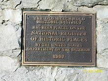 Plaque placed at the entry to Old Beechwold
- Beechwold – Named for the Jeffrey family summer estate on N. High Street, Beechwold contains the widest variety of housing, from Cape Cod influenced starter homes to high style, high end housing that occupies the land comprising the former Jeffrey family estate.
- North of Morse - North of Morse Rd and extending north to the Worthington city limits. This area is home to Bill Moose Run, the recently refurbished Graceland Shopping Center, the Ohio School for the Deaf and the Ohio State School for the Blind. A new park has recently been created at the site of the former Sharon Elementary School.
Streets
Like many of the neighborhoods in Columbus, the streets were often named after either early settlers or areas of Great Britain. However, the streets in the Walhalla Park Place section of Clintonville bear the legacy of Mathias Armbruster, a Bavarian immigrant who was fascinated with Norse mythology and Wagnerian opera; these street names include Druid, Mimring, Midgard, Brynhild, Gudrun, and Walhalla.
Landmarks
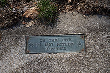 One of the curiosities of the community is a plaque in the sidewalk at the corner of Torrence Rd. and Brevoort Rd. reading "On This Site in 1897 Nothing Happened."
Popular landmarks in Clintonville include the "Welcome to Clintonville" signs at the main entryways of the community, Immaculate Conception church and Hagley Field, on lease from the Columbus City Schools for Bishop Watterson High School to use as its home field, previously utilized as such by Columbus North High School that closed as a normal high school and re-opened as a vocational school before becoming the temporary home of Columbus East High School students as their school is remodeled.
A commemorative historical marker for Clinton Township and Clintonville is now at the N. High Street entrance driveway to the Clintonville Women's Club, the sign originally having been at the corner of E. North Broadway and High Street - a mile south of the present location.
Whetstone Park
Whetstone Park in Clintonville is a Columbus landmark. The Park includes bike trails, baseball fields and tennis courts, a pond, ravine, library and recreation facility, as well as the beautiful 13 acres (53,000 m2) Park of Roses. Opened in 1952, the Park of Roses is a frequent site for weddings and special events. In June the Park of Roses hosts its annual "Rose Festival." During summer months concerts featuring many of Columbus' brass bands are held every Sunday evening at the Park's gazebo. Originally located at Fort Hayes, the gazebo was relocated to the Park and restored in 1976. Whetstone Park also hosts an annual Fourth of July fireworks display for the Clintonville community, perhaps the largest in Columbus aside from the downtown display, Red, White & Boom.
Olentangy Park
Clintonville was once home to the largest amusement park in the United States. First opened in 1880 as "The Villa," by 1900 the 100-acre (0.40 km2) park and picnic ground had become Olentangy Park. This park, located along N. High Street between North Street and Tulane Road, grew rapidly between 1900 and 1915, and at one time featured four large roller coasters, including a rare looping coaster known as the "Loop-the-Loop", a zoo, a dance pavilion, a large "Shoot-the-Chutes" water slide, and a building from which visitors could rent canoes for a day on the Olentangy River. It was also home to the largest theatre in the country, as well as the largest swimming pool in the world at the time. Olentangy Park closed in 1939 and the land was used to build the Olentangy Village apartment complex; scattered remains of the park could still be found in the woods by the river as recently as the late 1980s. The park's carousel was moved several times and in 1999 it was restored. This carousel can now be seen at the Columbus Zoo and Aquarium.
Columbus Zoo
Columbus's first zoo was located in Clintonville. Opening in May 1905, the zoo was located in what is now Old Beechwold at Beechwold Road and N. High Street. The zoo closed only five months later in October 1905. The only remaining structures are the zoo's monkey house, now used as a barn and located at 150 W. Beechwold Blvd., the zoo's stone entrance way, and the "kissing bridge", now Rustic Bridge Road.
References
- ^ "Clintonville Neighborhood Plan" (PDF). City of Columbus, Department of Development, Planning Division. 2009-03-02. http://development.columbus.gov/uploadedFiles/Development/Planning_Division/Document_Library/Plans_and_Overlays_Imported_Content/Clintonville_Neighborhood_Plan.pdf. Retrieved 2011-08-19.
- ^ "Columbus, Ohio, Code of Ordinances Title 31 - Chapter 3111". http://library.municode.com/HTML/16219/level2/TIT31PLHIPRCO_CH3111ESCOARARCO.html#TIT31PLHIPRCO_CH3111ESCOARARCO_3111.02CLARCR. Retrieved 2011-08-19.
- ^ "Clintonville Area Commission Profile". City of Columbus. Archived from the original on 2008-10-14. http://web.archive.org/web/20081014003358/http://development.columbus.gov/NeighborhoodsandResidents/acca/Clintonvilleac2.asp. Retrieved 2011-08-19.
External links
 Media related to Clintonville at Wikimedia Commons
- Media related to Beechwold at Wikimedia Commons
- Clintonville's original site
- Clintonville site, maintained by the Clintonville Community Fund
- Clintonville Area Commission
- Clintonville Chamber of Commerce
- The Park of Roses in Whetstone Park
- Friends of the Ravines
- History of Clintonville
Coordinates: 40°02′30″N 83°01′07″W / 40.041596°N 83.018575°W
Categories:- Neighborhoods in Columbus, Ohio
- Underground Railroad locations
-


Wikimedia Foundation. 2010.