| [3] |
Landmark name[4] |
Image |
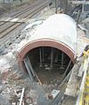
Date listed |
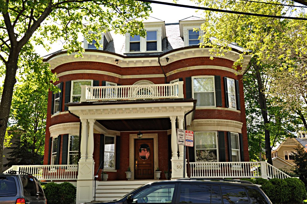
Location |
Summary |
| 1 |
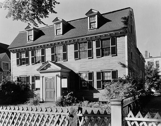
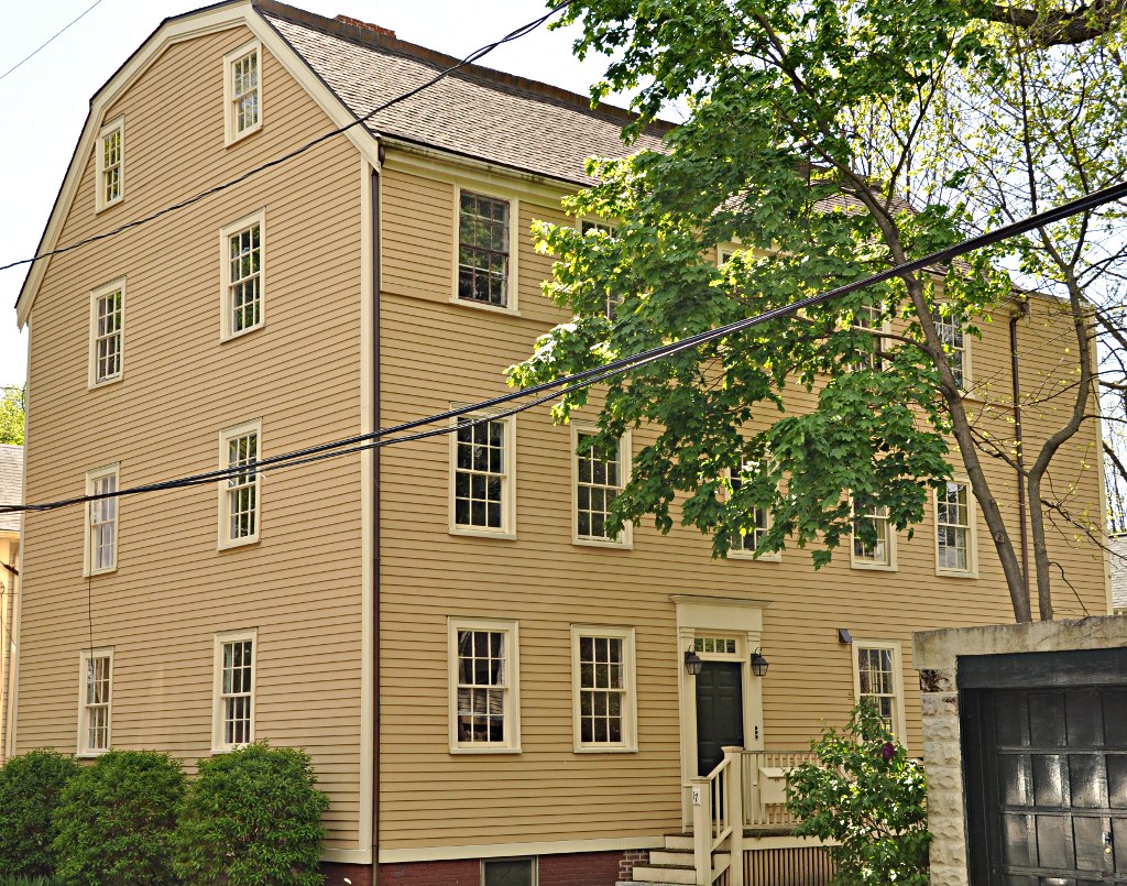
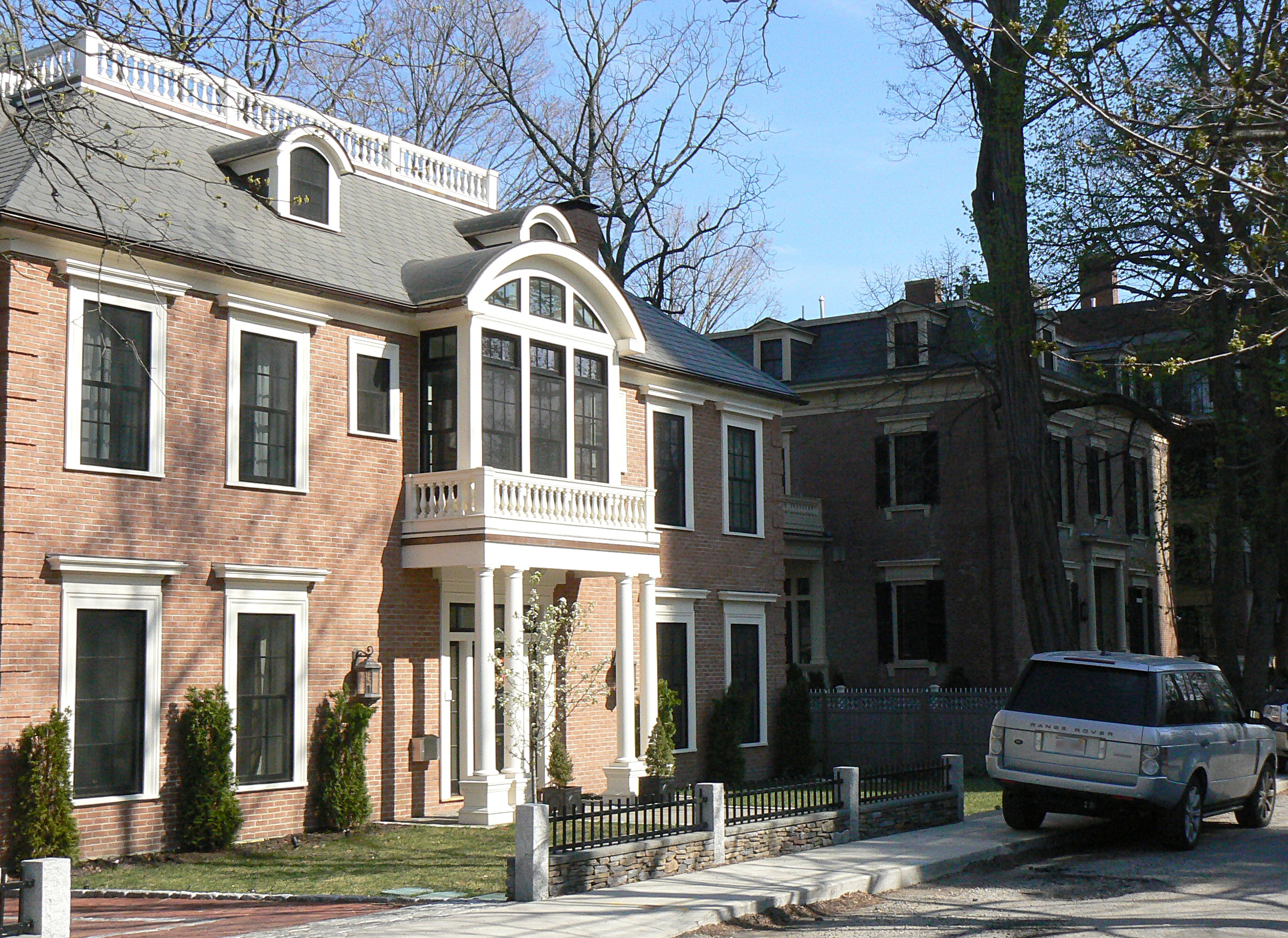
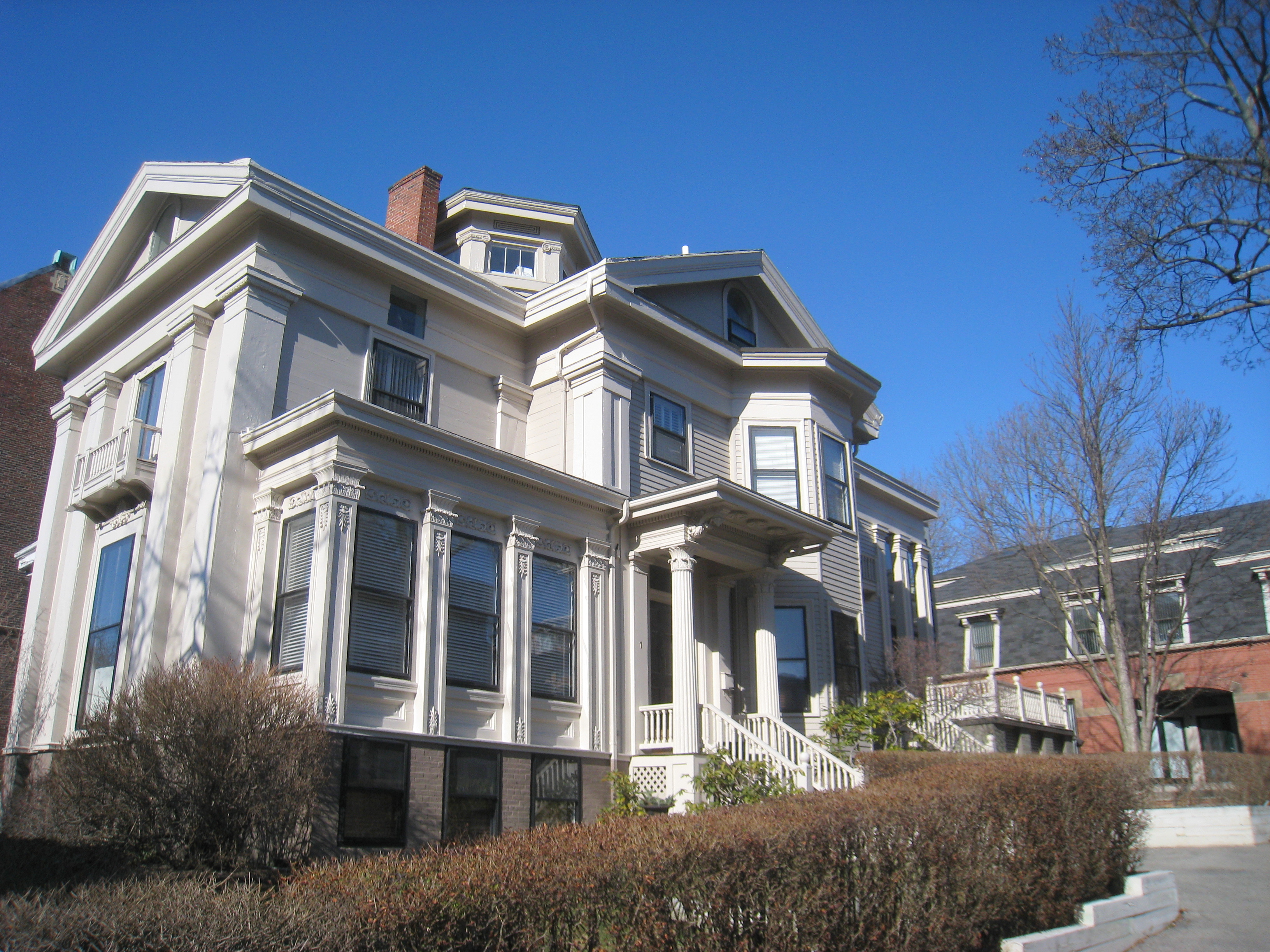
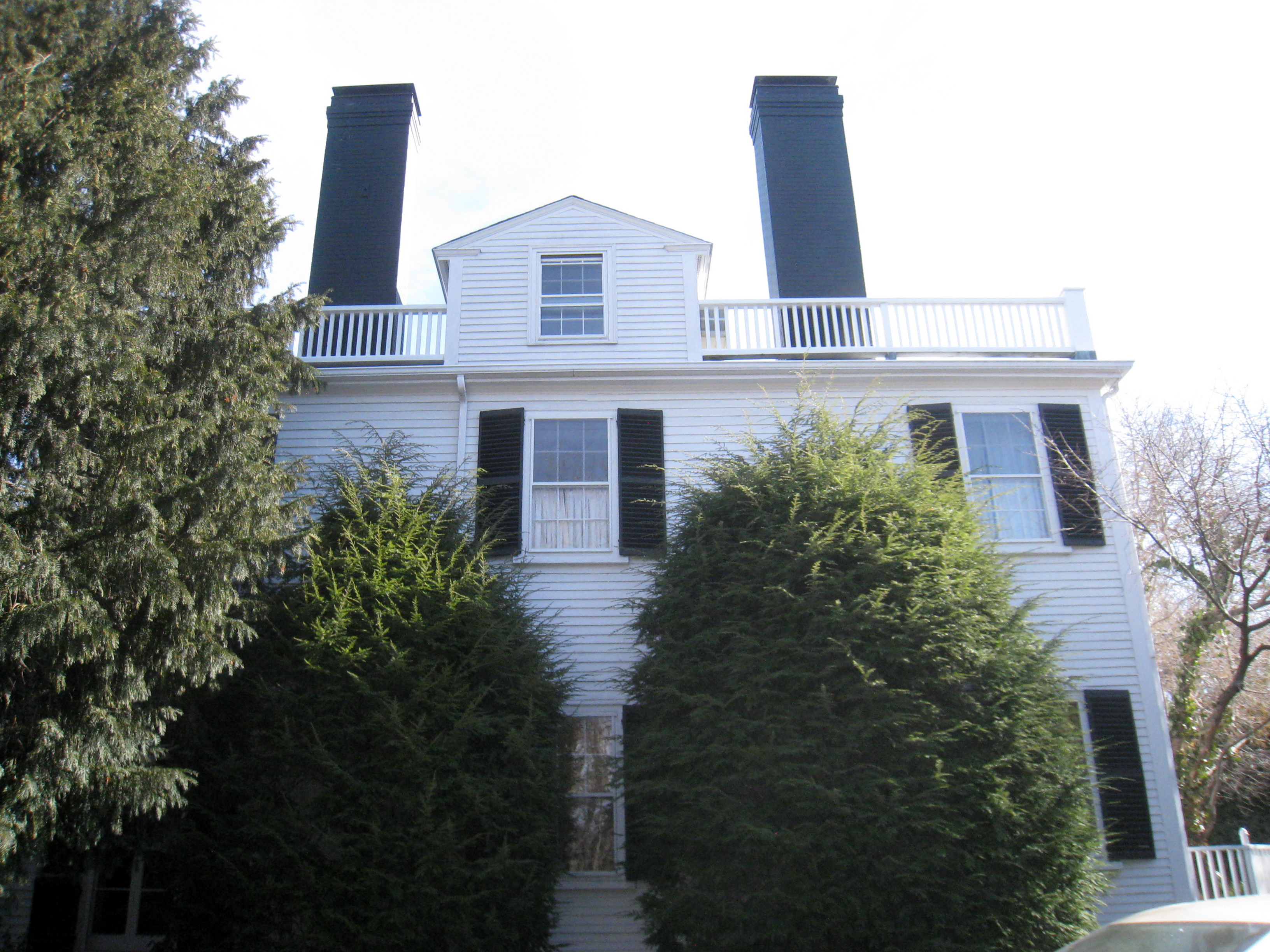
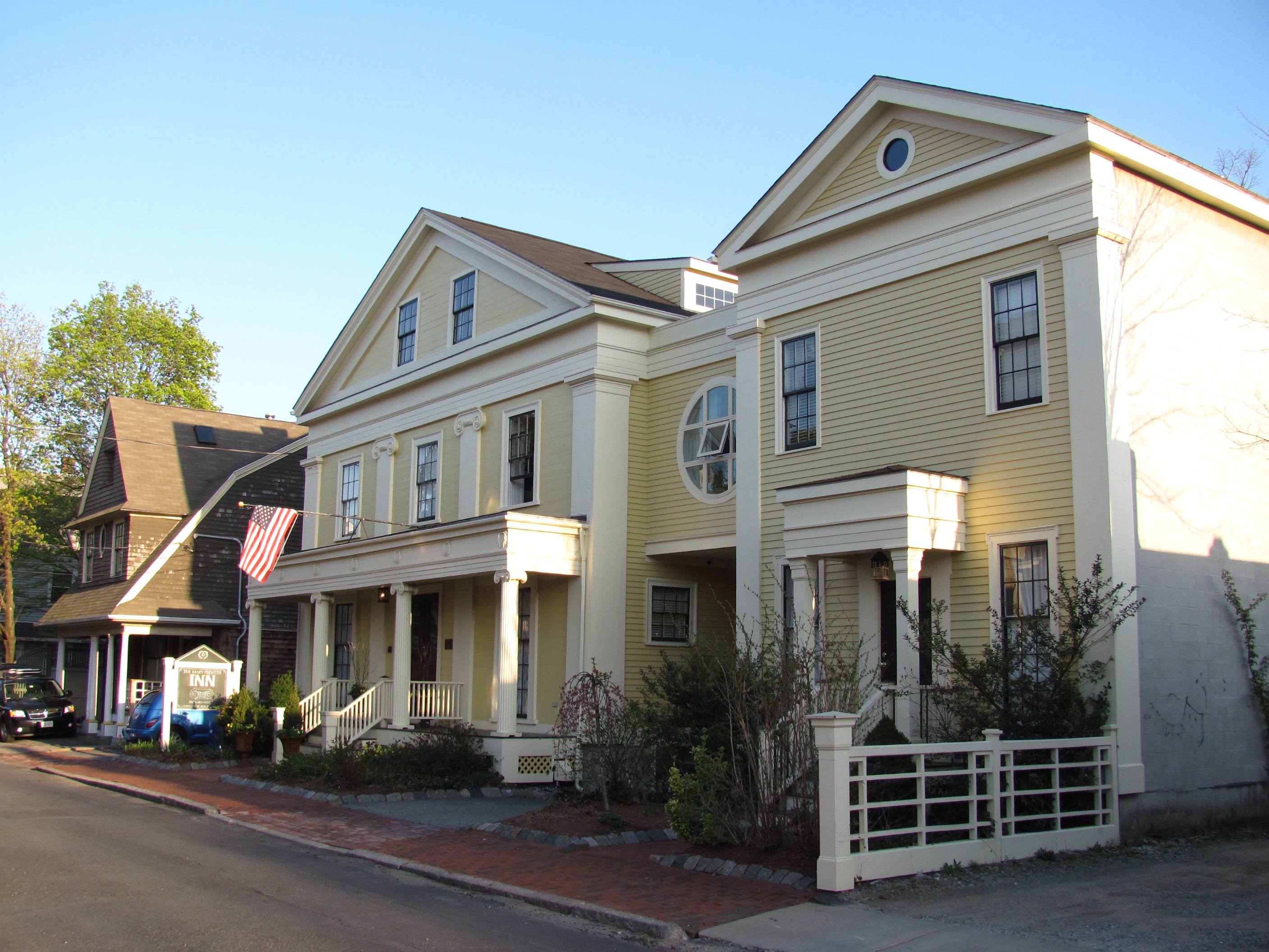
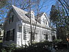
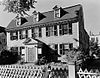
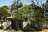
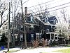
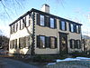
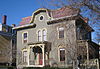
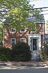
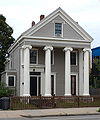
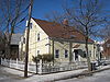
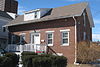
Edwin Abbot House |
 |
01979-05-10 May 10, 1979 |
1 Follen St.
42°22′41″N 71°7′27″W / 42.37806°N 71.12417°W / 42.37806; -71.12417 (Abbot, Edwin, House) |
|
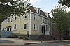
| 2 |
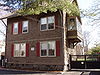
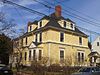
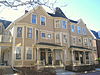
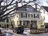
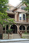
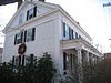
John Aborn House |
 |
01982-04-13 April 13, 1982 |
41 Orchard St.
42°23′29″N 71°7′15″W / 42.39139°N 71.12083°W / 42.39139; -71.12083 (Aborn, John, House) |
Same address and NRHP listing date as Almshouse |
| 3 |
Alewife Brook Parkway |
 |
02004-03-18 March 18, 2004 |
Alewife Brook Parkway
42°23′45.2″N 71°8′26.12″W / 42.395889°N 71.1405889°W / 42.395889; -71.1405889 (Alewife Brook Parkway) |
|
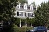
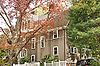
| 4 |
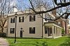
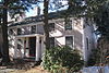
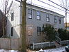
Almshouse |
|
01982-04-13 April 13, 1982 |
41 Orchard St.
42°23′29.34″N 71°7′13.91″W / 42.3914833°N 71.1205306°W / 42.3914833; -71.1205306 (Almshouse) |
Same address and NRHP listing date as John Aborn House |
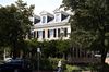
| 5 |
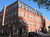
American Net and Twine Company Factory |
 |
01982-04-01 April 1, 1982 |
155 2nd St.
42°22′0″N 71°4′48″W / 42.366667°N 71.08°W / 42.366667; -71.08 (American Net and Twine Company Factory) |
|
| 6 |
Ash Street Historic District |
 |
01982-04-13 April 13, 1982 |
Ash St. and Ash St. Place between Brattle and Mount Auburn Sts.
42°22′30″N 71°07′29″W / 42.3751°N 71.1248°W / 42.3751; -71.1248 (Ash Street Historic District) |
|
| 7 |
Athenaeum Press |
 |
01982-04-13 April 13, 1982 |
215 1st St.
42°22′12″N 71°5′17″W / 42.37°N 71.08806°W / 42.37; -71.08806 (Athenaeum Press) |
|
| 8 |
Ephraim Atwood House |
 |
01983-06-30 June 30, 1983 |
110 Hancock St.
42°22′9″N 71°6′29″W / 42.36917°N 71.10806°W / 42.36917; -71.10806 (Atwood, Ephraim, House) |
|
| 9 |
Austin Hall |
 |
01972-04-19 April 19, 1972 |
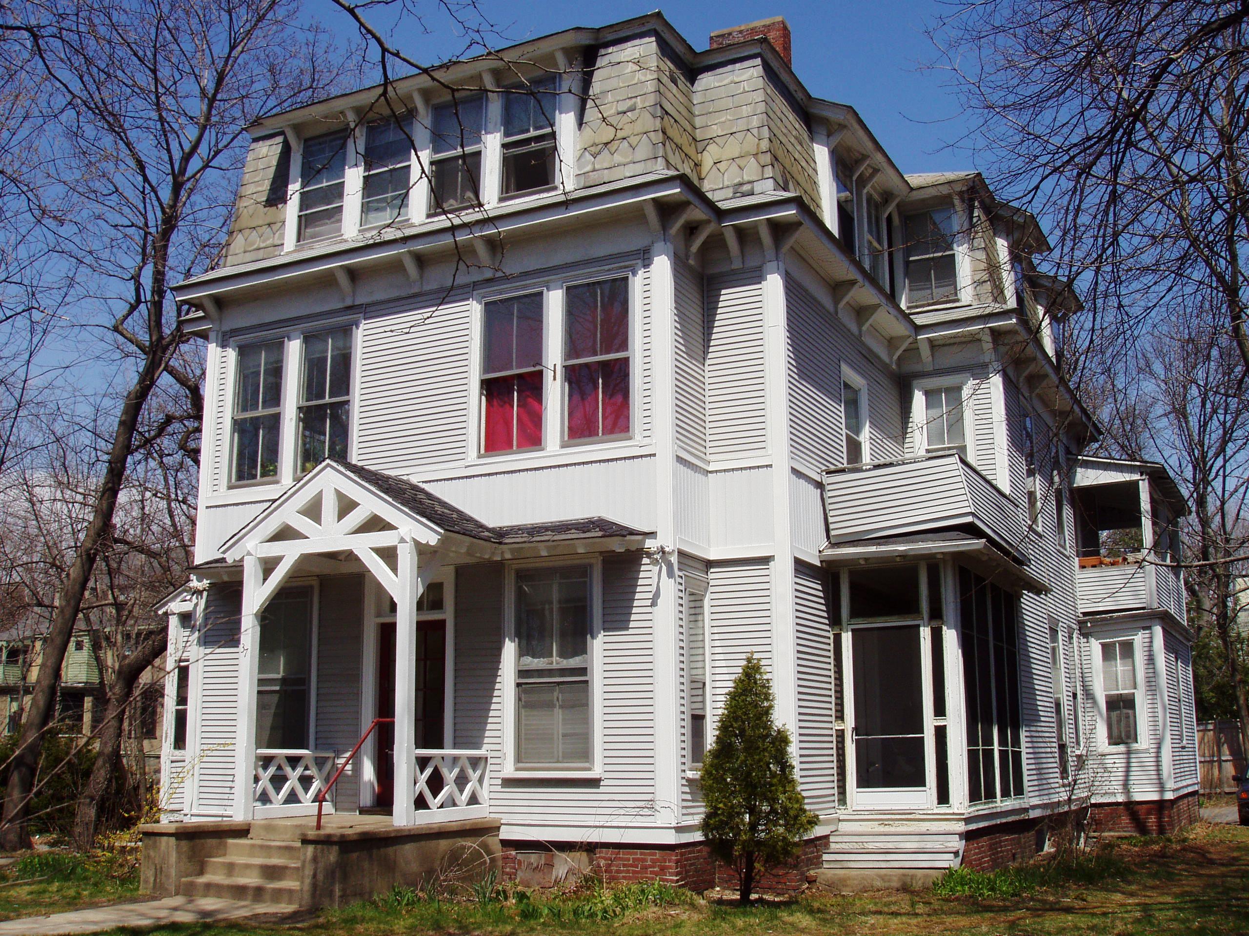
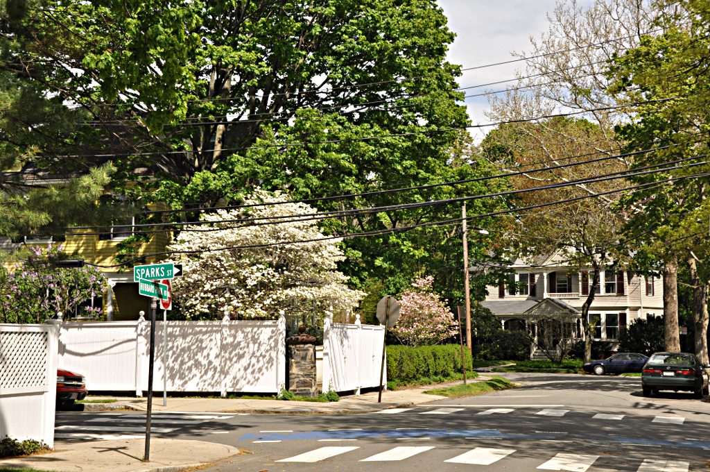
Harvard University campus
42°22′37″N 71°7′10″W / 42.37694°N 71.11944°W / 42.37694; -71.11944 (Austin Hall) |
|
| 10 |
Avon Hill Historic District |
 |
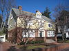
01983-06-30 June 30, 1983 |
Washington and Walnut Aves. and Agassiz, Humboldt, Arlington and Lancaster Sts.
42°23′9″N 71°7′21″W / 42.38583°N 71.1225°W / 42.38583; -71.1225 (Avon Hill Historic District) |
|
| 11 |
B and B Chemical Company |
 |
01982-04-13 April 13, 1982 |
780 Memorial Dr.
42°21′35″N 71°6′57″W / 42.35972°N 71.11583°W / 42.35972; -71.11583 (B and B Chemical Company) |
|
| 12 |
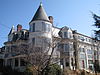
Maria Baldwin House |
 |
01976-05-11 May 11, 1976 |
196 Prospect St.
42°22′12″N 71°6′4″W / 42.37°N 71.10111°W / 42.37; -71.10111 (Baldwin, Maria, House) |
|
| 13 |
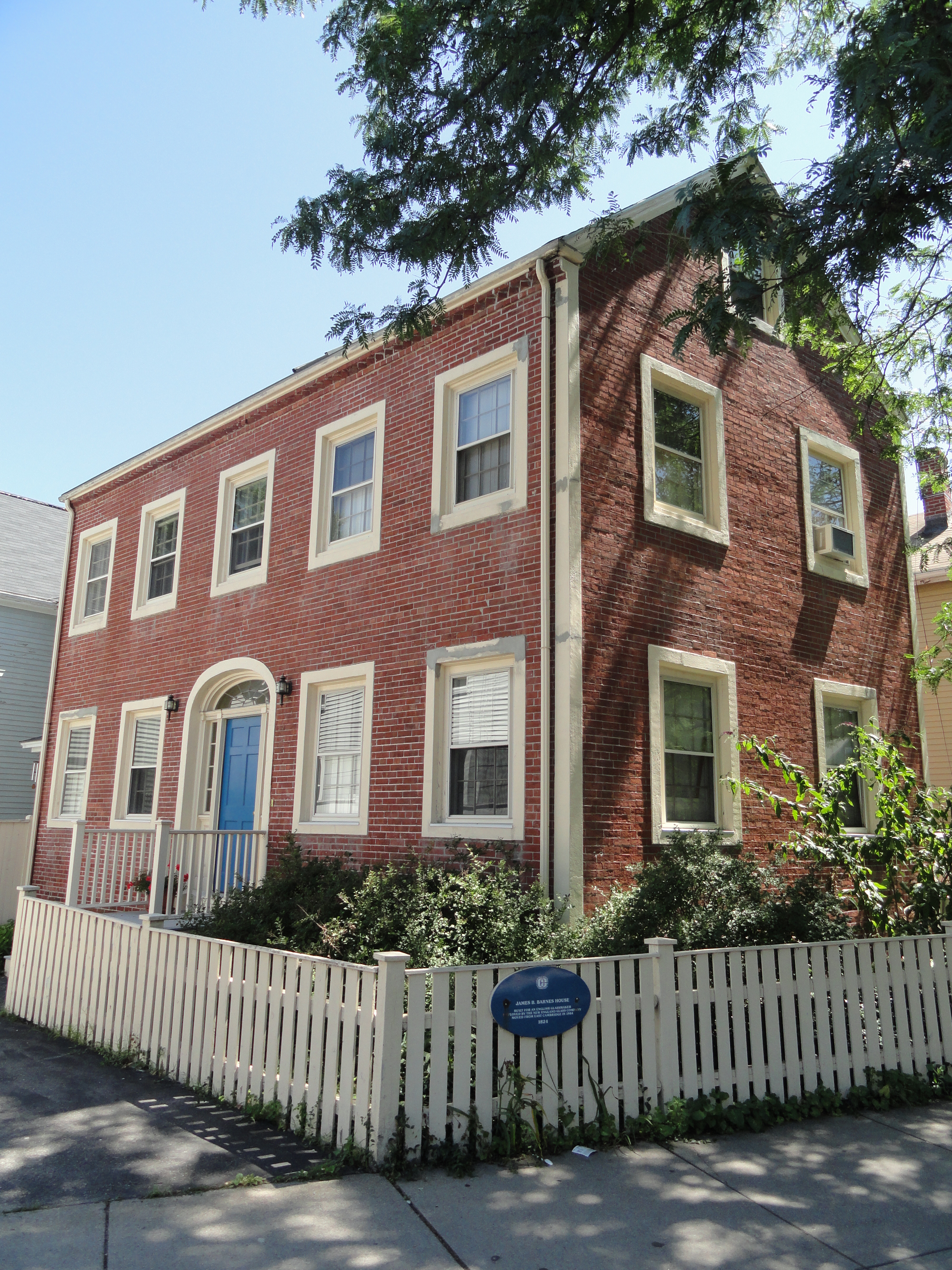
James B. Barnes House |
 |
01982-04-13 April 13, 1982 |
109 Hampshire Street
42°22′19″N 71°4′46″W / 42.37194°N 71.07944°W / 42.37194; -71.07944 (Barnes, James B., House) |
|
| 14 |
Beck-Warren House |
 |
01996-05-20 May 20, 1996 |
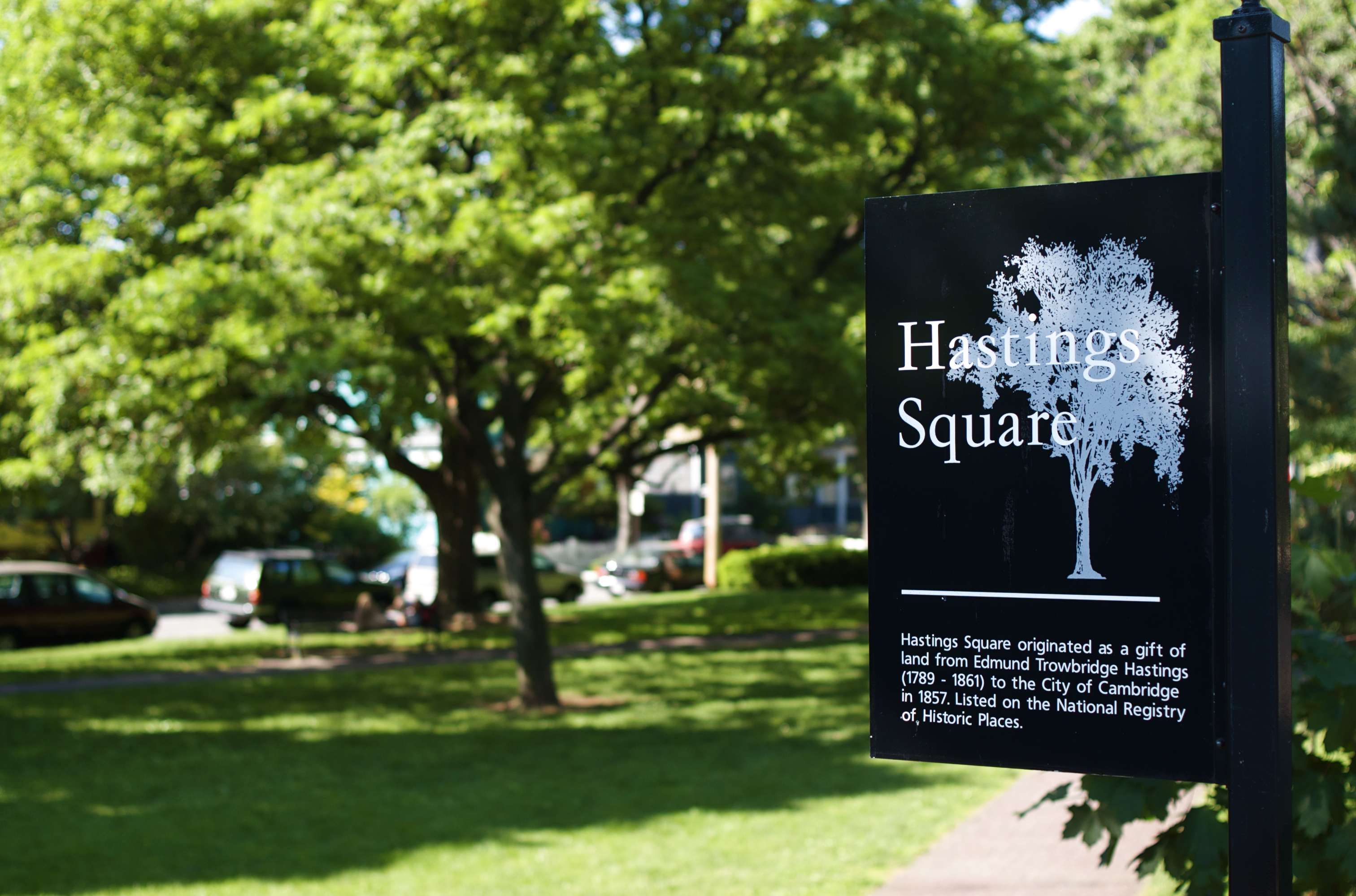
1 Prescott St.
42°22′21″N 71°6′54″W / 42.3725°N 71.115°W / 42.3725; -71.115 (Beck-Warren House) |
|
| 15 |
Bennink-Douglas Cottages |
 |
01986-05-19 May 19, 1986 |
35-51 Walker St.
42°22′47″N 71°7′26″W / 42.37972°N 71.12389°W / 42.37972; -71.12389 (Bennink-Douglas Cottages) |
|
| 16 |
Berkeley Street Historic District |
 |
01982-04-13 April 13, 1982 |
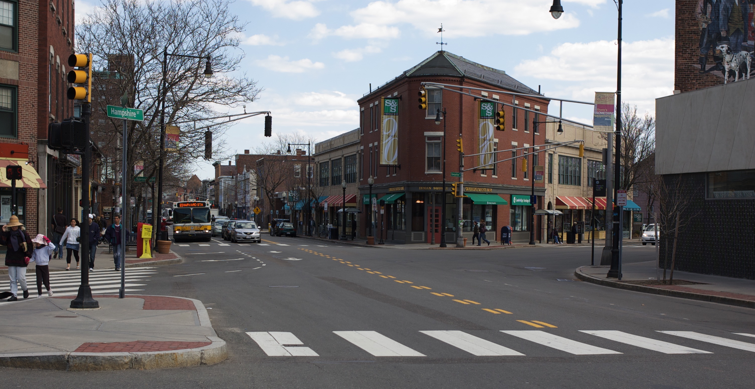
Berkeley St.; also 1-8 Berkeley Pl.
42°22′40″N 71°7′32″W / 42.37778°N 71.12556°W / 42.37778; -71.12556 (Berkeley Street Historic District) |
Berkeley Place represents a boundary increase |
| 17 |
Bertram Hall at Radcliffe College |
 |
01986-05-19 May 19, 1986 |
53 Shepard St.
42°22′50″N 71°7′31″W / 42.38056°N 71.12528°W / 42.38056; -71.12528 (Bertram Hall at Radcliffe College) |
|
| 18 |
Beth Israel Synagogue |
 |
01982-04-13 April 13, 1982 |
238 Columbia St.
42°22′9″N 71°5′48″W / 42.36917°N 71.09667°W / 42.36917; -71.09667 (Beth Israel Synagogue) |
|
| 19 |
Bigelow Street Historic District |
 |
01982-04-13 April 13, 1982 |
Bigelow St.
42°22′6″N 71°6′20″W / 42.36833°N 71.10556°W / 42.36833; -71.10556 (Bigelow Street Historic District) |
|
| 20 |
Frederick Billings House |
 |
01982-04-13 April 13, 1982 |
45 Orchard St.
42°23′30″N 71°7′16″W / 42.39167°N 71.12111°W / 42.39167; -71.12111 (Billings, Frederick, House) |
|
| 21 |
George D. Birkhoff House |
 |
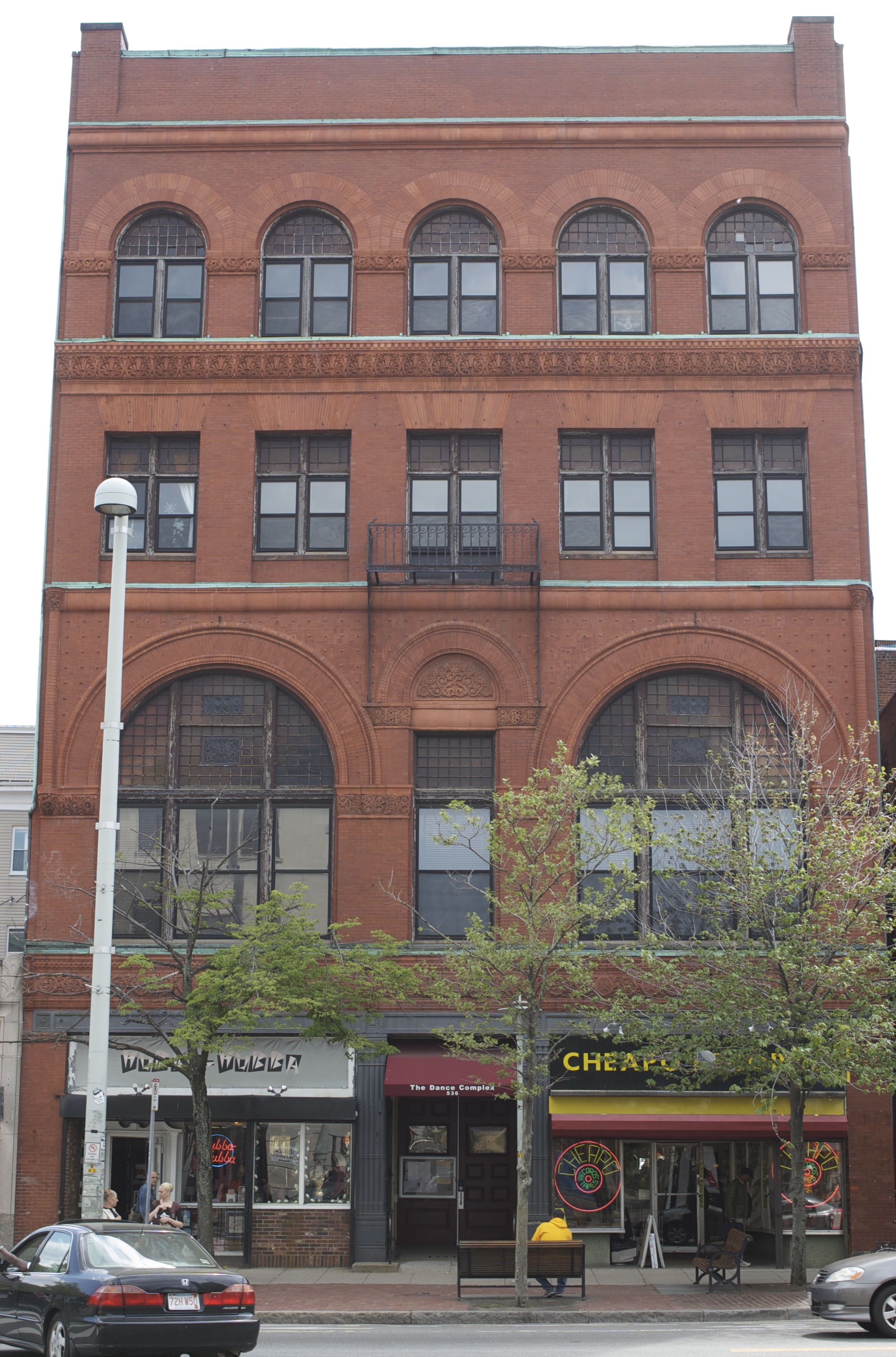
01975-05-15 May 15, 1975 |
22 Craigie
42°22′41″N 71°7′42″W / 42.37806°N 71.12833°W / 42.37806; -71.12833 (Birkhoff, George D., House) |
|
| 22 |
Blake and Knowles Steam Pump Company National Register District |
 |
01997-06-13 June 13, 1997 |
Bounded by Third, Binney, Fifth, and Rogers Sts.
42°21′58″N 71°5′2″W / 42.36611°N 71.08389°W / 42.36611; -71.08389 (Blake and Knowles Steam Pump Company National Register District) |
|
| 23 |
Bottle House Block |
 |
01982-04-13 April 13, 1982 |
204-214 3rd St.
42°22′2″N 71°4′53″W / 42.36722°N 71.08139°W / 42.36722; -71.08139 (Bottle House Block) |
|
| 24 |
E. H. Brabrook House |
 |
01986-05-19 May 19, 1986 |
42-44 Avon St.
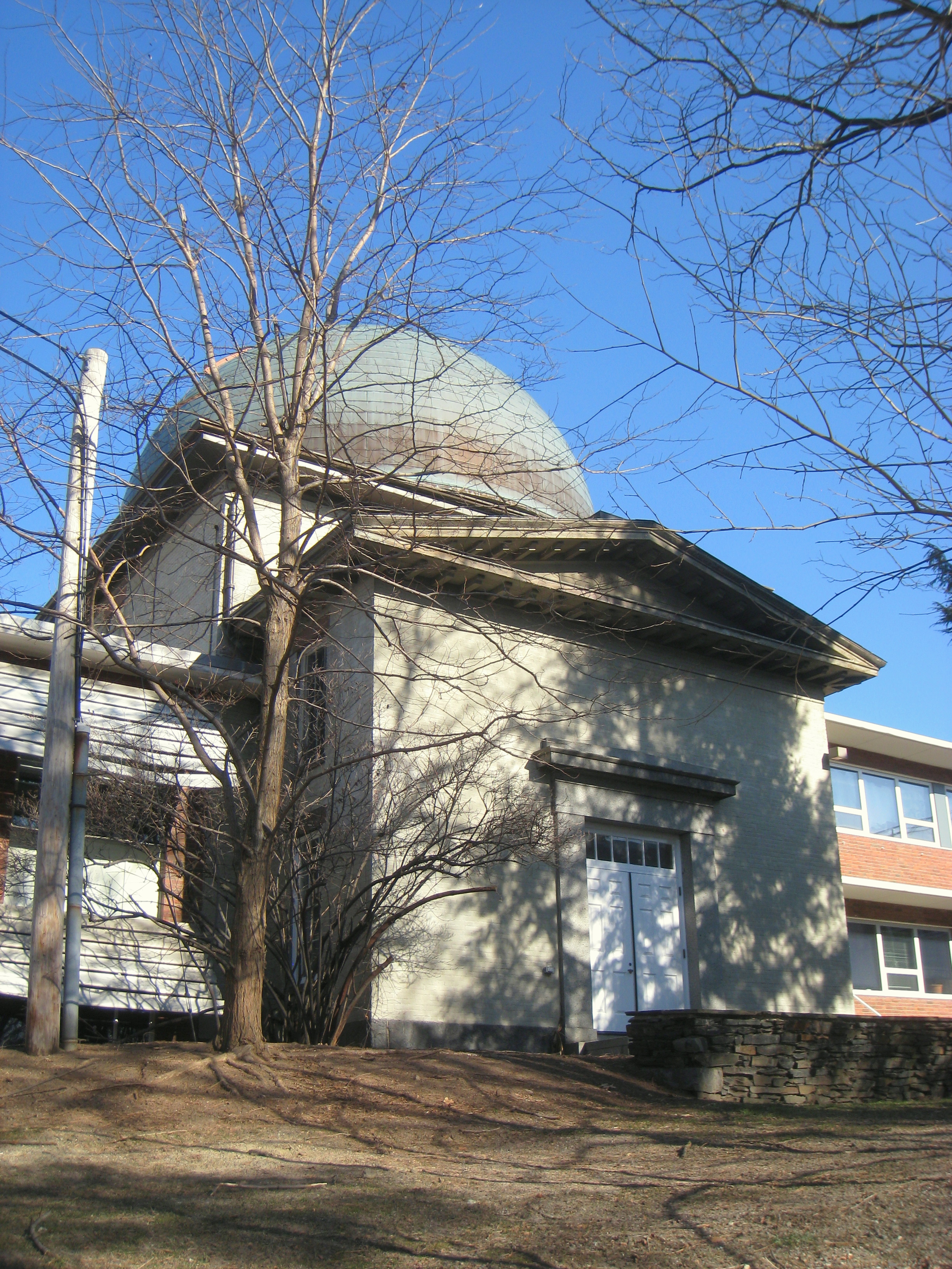
42°22′57″N 71°7′27″W / 42.3825°N 71.12417°W / 42.3825; -71.12417 (Brabrook, E. H., House) |
|
| 25 |
William F. Bradbury House |
 |
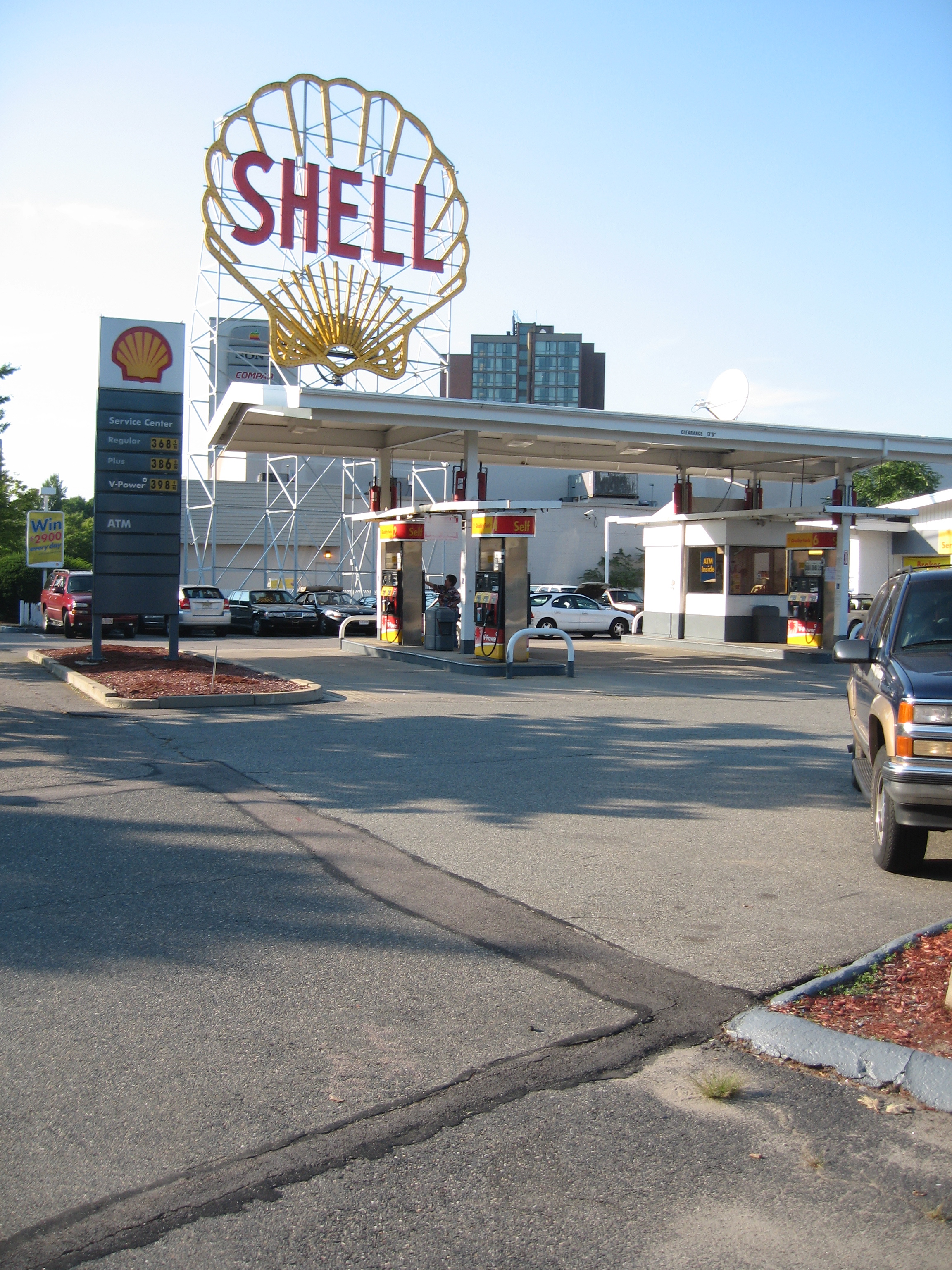
01983-06-30 June 30, 1983 |
369 Harvard St.
42°22′18″N 71°6′44″W / 42.37167°N 71.11222°W / 42.37167; -71.11222 (Bradbury, William F., House) |
|
| 26 |
Brattle Hall |
 |
01982-04-13 April 13, 1982 |
40 Brattle St.
42°22′24.7″N 71°7′17.5″W / 42.373528°N 71.121528°W / 42.373528; -71.121528 (Brattle Hall) |
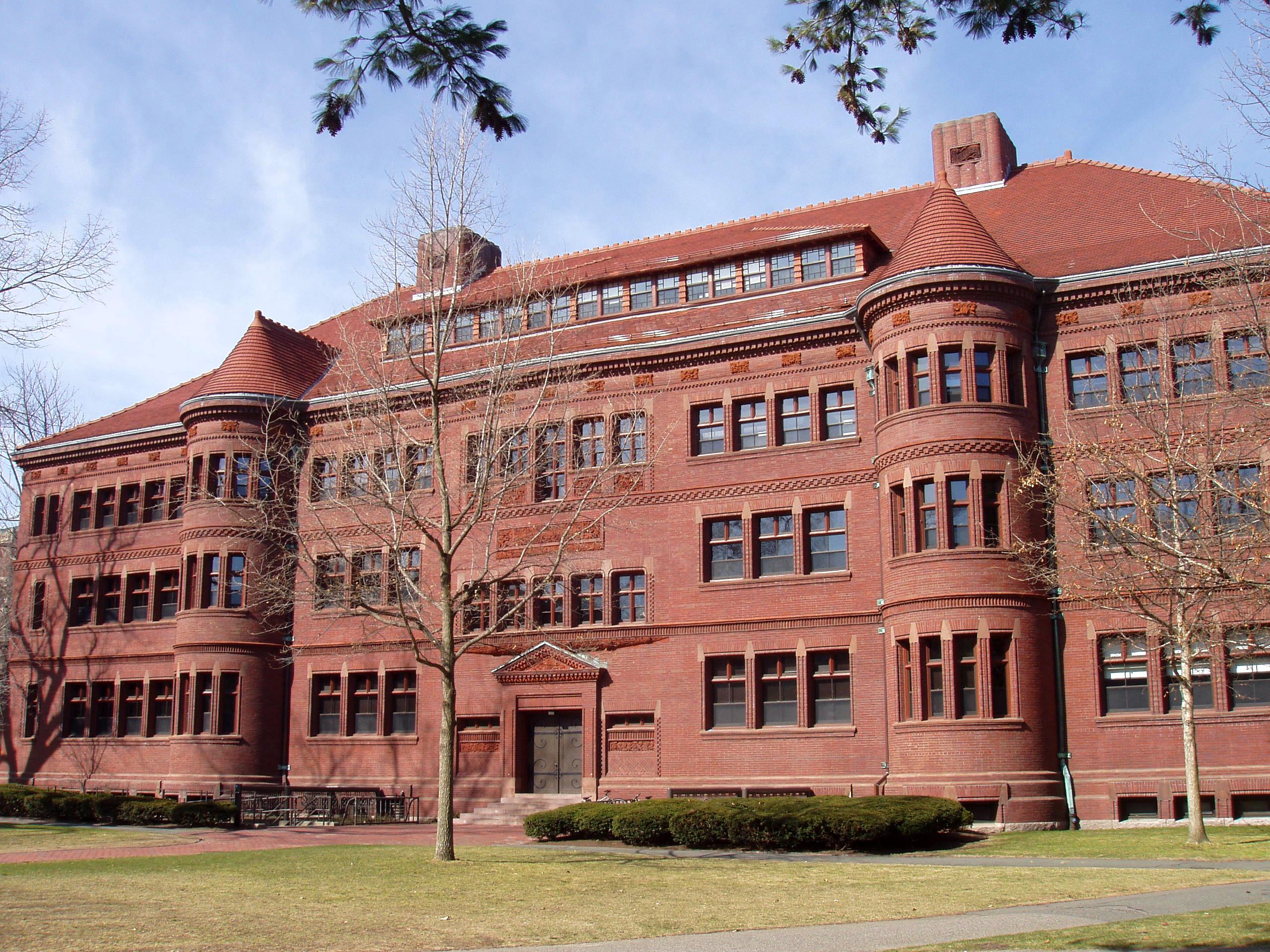
|
| 27 |
William Brattle House |
 |
01973-05-08 May 8, 1973 |
42 Brattle St.
42°22′25.3″N 71°7′17.6″W / 42.373694°N 71.121556°W / 42.373694; -71.121556 (Brattle, William, House) |
|
| 28 |
Percy Bridgman House |
 |
01975-05-15 May 15, 1975 |
10 Buckingham Pl.
42°22′45″N 71°7′44″W / 42.37917°N 71.12889°W / 42.37917; -71.12889 (Bridgman, Percy, House) |
|
| 29 |
Luther Brooks House |
 |
01986-09-12 September 12, 1986 |
34 Kirkland St.
42°22′36″N 71°6′49″W / 42.37667°N 71.11361°W / 42.37667; -71.11361 (Brooks, Luther, House) |
|
| 30 |
Building at 1707-1709 Cambridge Street |
 |
01983-06-30 June 30, 1983 |
1707-1709 Cambridge St.
42°22′31″N 71°6′45″W / 42.37528°N 71.1125°W / 42.37528; -71.1125 (Building at 1707-1709 Cambridge Street) |
|
| 31 |
Building at 1715-1717 Cambridge Street |
 |
01983-06-30 June 30, 1983 |
1715-1717 Cambridge St.
42°22′31″N 71°6′45″W / 42.37528°N 71.1125°W / 42.37528; -71.1125 (Building at 1715-1717 Cambridge Street) |
|
| 32 |
Building at 10 Follen Street |
 |
01982-04-13 April 13, 1982 |
10 Follen St.
42°22′27″N 71°6′58″W / 42.37417°N 71.11611°W / 42.37417; -71.11611 (Building at 10 Follen Street) |
|
| 33 |
Building at 104-106 Hancock Street |
 |
01983-06-30 June 30, 1983 |
104-106 Hancock St.
42°22′9″N 71°6′29″W / 42.36917°N 71.10806°W / 42.36917; -71.10806 (Building at 104-106 Hancock Street) |
|
| 34 |
Building at 102-104 Inman Street |
 |
01983-06-30 June 30, 1983 |
102-104 Inman St.
42°22′19″N 71°6′49″W / 42.37194°N 71.11361°W / 42.37194; -71.11361 (Building at 102-104 Inman Street) |
|
| 35 |
Building at 106-108 Inman St |
 |
01982-04-13 April 13, 1982 |
106-108 Inman St.
42°22′19″N 71°6′49″W / 42.37194°N 71.11361°W / 42.37194; -71.11361 (Building at 106-108 Inman St) |
|
| 36 |
Buildings at 110-112 Inman St. |
 |
01982-04-13 April 13, 1982 |
110-112 Inman St.
42°22′19″N 71°6′49″W / 42.37194°N 71.11361°W / 42.37194; -71.11361 (Buildings at 110-112 Inman St.) |
|
| 37 |
Buildings at 15-17 Lee St. |
 |
01982-04-13 April 13, 1982 |
15-17 Lee St.
42°22′8″N 71°6′28″W / 42.36889°N 71.10778°W / 42.36889; -71.10778 (Buildings at 15-17 Lee St.) |
|
| 38 |
Building at 42 Edward J. Lopez Avenue |
 |
01982-04-13 April 13, 1982 |
42 Edward J. Lopez Ave.
42°22′4″N 71°4′48″W / 42.36778°N 71.08°W / 42.36778; -71.08 (Building at 42 Edward J. Lopez Avenue) |
|
| 39 |
Building at 259 Mount Auburn Street |
 |
01983-06-30 June 30, 1983 |
259 Mt. Auburn St.
42°22′29″N 71°7′56″W / 42.37472°N 71.13222°W / 42.37472; -71.13222 (Building at 259 Mount Auburn Street) |
|
| 40 |
Cambridge Common Historic District |
 |
01973-04-13 April 13, 1973 (original)
01983-06-30 June 30, 1983 (amended) |
Garden, Waterhouse, Cambridge, and Peabody Sts., and Massachusetts Ave.; also roughly northwest of Waterhouse St. on Concord Ave. between Garden and Follen Sts. (original)
Massachusetts Ave. and Garden, Waterhouse, Cambridge, and Peabody Sts. (amended)
42°22′35″N 71°7′15″W / 42.37639°N 71.12083°W / 42.37639; -71.12083 (Cambridge Common Historic District) |
A historic district |
| 41 |
Cambridge Home for the Aged and Infirm |
 |
02002-10-22 October 22, 2002 |
650 Concord Ave.
42°23′18″N 71°8′57″W / 42.38833°N 71.14917°W / 42.38833; -71.14917 (Cambridge Home for the Aged and Infirm) |
Now Neville Place, a nursing facility. |
| 42 |
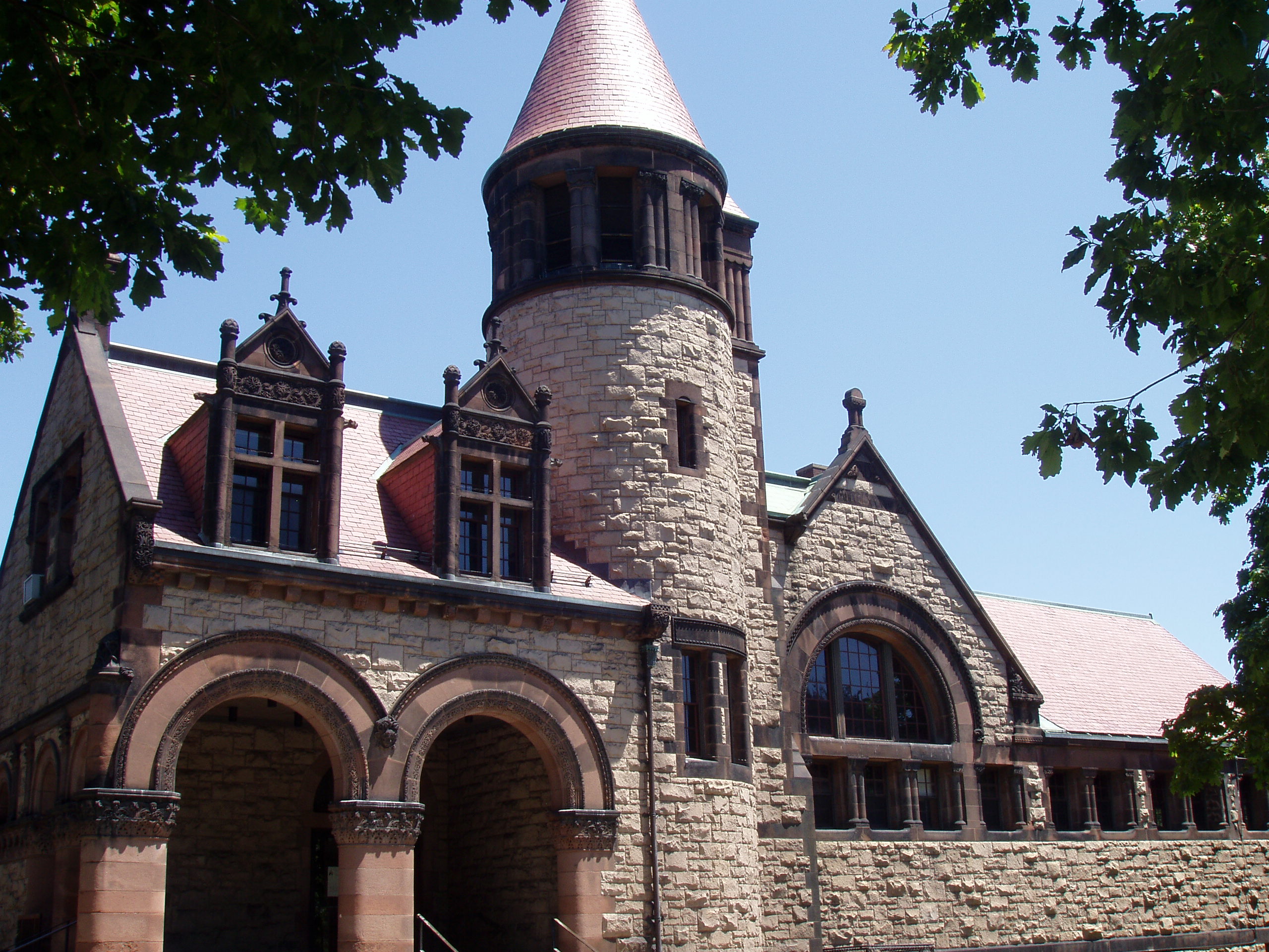
Cambridge Public Library |
 |
01982-04-13 April 13, 1982 |
449 Broadway
42°22′27″N 71°6′41″W / 42.37417°N 71.11139°W / 42.37417; -71.11139 (Cambridge Public Library) |
|
| 43 |
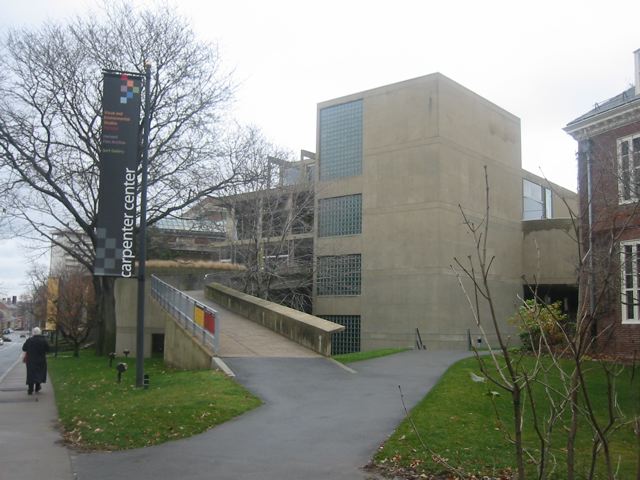
Carpenter Center for the Visual Arts |
 |
01978-04-20 April 20, 1978 |
19 Prescott St.
42°22′23″N 71°6′53″W / 42.37306°N 71.11472°W / 42.37306; -71.11472 (Carpenter Center for the Visual Arts) |
|
| 44 |
Central Square Historic District |
 |
01990-03-02 March 2, 1990 |
Roughly Massachusetts Ave. from Clinton St. to Main St.
42°21′54″N 71°6′13″W / 42.365°N 71.10361°W / 42.365; -71.10361 (Central Square Historic District) |
|
| 45 |
Charles River Basin Historic District |
 |
01978-12-22 December 22, 1978 |
Both banks of the Charles River from Eliot Bridge to Charles River Dam
42°21′46″N 71°6′28″W / 42.36278°N 71.10778°W / 42.36278; -71.10778 (Charles River Basin Historic District) |
|
| 46 |
Charles River Reservation Parkways |
 |
02006-01-18 January 18, 2006 |
Soldiers Field, Nonantum, Leo Birmingham, Arsenal, Greenough, N. Beacon, Charles River, Norumbega, Recreation
42°21′42″N 71°9′31″W / 42.36167°N 71.15861°W / 42.36167; -71.15861 (Charles River Reservation Parkways) |
Extends into Newton, Waltham, and Watertown and Weston, elsewhere in Middlesex County, and into Boston in Suffolk County |
| 47 |
Francis J. Child House |
 |
01983-06-30 June 30, 1983 |
67 Kirkland St.
42°22′41″N 71°6′37″W / 42.37806°N 71.11028°W / 42.37806; -71.11028 (Child, Francis J., House) |
|
| 48 |
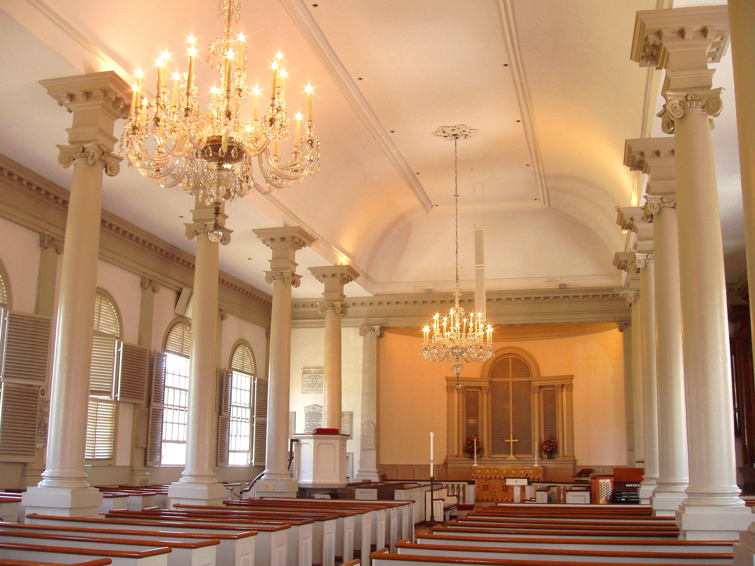
Christ Church |
 |
01966-10-15 October 15, 1966 |
Garden St.
42°22′31″N 71°7′16″W / 42.37528°N 71.12111°W / 42.37528; -71.12111 (Christ Church) |
|
| 49 |
Church of the New Jerusalem |
 |
01983-06-30 June 30, 1983 |
50 Quincy St.
42°22′35″N 71°6′50″W / 42.37639°N 71.11389°W / 42.37639; -71.11389 (Church of the New Jerusalem) |
Also known as Cambridge Swedenborg Chapel [1] |
| 50 |
City Hall Historic District |
 |
01982-04-13 April 13, 1982 |
Massachusetts Ave., Bigelow and Temple Sts, Inman and Richard Allen Dr.
42°22′0″N 71°6′20″W / 42.366667°N 71.10556°W / 42.366667; -71.10556 (City Hall Historic District) |
|
| 51 |
Cloverden |
 |
01983-06-30 June 30, 1983 |
29 Fallen St.
42°22′48″N 71°7′18″W / 42.38°N 71.12167°W / 42.38; -71.12167 (Cloverden) |
|
| 52 |
Sara Foster Colburn House |
 |
01982-04-13 April 13, 1982 |
7 Dana St.
42°22′12″N 71°6′37″W / 42.37°N 71.11028°W / 42.37; -71.11028 (Colburn, Sara Foster, House) |
|
| 53 |
Conventual Church of St. Mary and St. John |
 |
01982-04-13 April 13, 1982 |
980 Memorial Dr.
42°22′20″N 71°7′29″W / 42.37222°N 71.12472°W / 42.37222; -71.12472 (Conventual Church of St. Mary and St. John) |
|
| 54 |
William Cook House |
 |
01982-04-13 April 13, 1982 |
71 Appleton St.
42°22′45″N 71°8′5″W / 42.37917°N 71.13472°W / 42.37917; -71.13472 (Cook, William, House) |
|
| 55 |
Josiah Coolidge House |
 |
01983-06-30 June 30, 1983 |
24 Coolidge Hill Rd.
42°22′27″N 71°8′18″W / 42.37417°N 71.13833°W / 42.37417; -71.13833 (Coolidge, Josiah, House) |
|
| 56 |
Cooper-Frost-Austin House |
 |
01972-09-22 September 22, 1972 |
21 Linnaean St.
42°23′4″N 71°7′20″W / 42.38444°N 71.12222°W / 42.38444; -71.12222 (Cooper-Frost-Austin House) |
|
| 57 |
Craigie Arms |
 |
01986-07-10 July 10, 1986 |
2-6 University Rd., 122 Mt. Auburn, and 6 Bennett Sts.
42°22′22″N 71°7′25″W / 42.37278°N 71.12361°W / 42.37278; -71.12361 (Craigie Arms) |
|
| 58 |
e.e. cummings House |
 |
01983-06-30 June 30, 1983 |
104 Irving St.
42°22′27″N 71°6′40″W / 42.37417°N 71.11111°W / 42.37417; -71.11111 (cummings, e.e., House) |
|
| 59 |
Reginald A. Daly House |
 |
01976-01-07 January 7, 1976 |
23 Hawthorn St.
42°22′31″N 71°7′36″W / 42.37528°N 71.12667°W / 42.37528; -71.12667 (Daly, Reginald A., House) |
|
| 60 |
Dana-Palmer House |
 |
01986-05-19 May 19, 1986 |
12-16 Quincy St.
42°22′23″N 71°6′54″W / 42.37306°N 71.115°W / 42.37306; -71.115 (Dana-Palmer House) |
|
| 61 |
William Morris Davis House |
 |
01976-01-07 January 7, 1976 |
17 Francis St.
42°22′52″N 71°6′42″W / 42.38111°N 71.11167°W / 42.38111; -71.11167 (Davis, William Morris, House) |
|
| 62 |
Anna Day House |
 |
01982-04-13 April 13, 1982 |
139 Cushing St.
42°22′43″N 71°9′8″W / 42.37861°N 71.15222°W / 42.37861; -71.15222 (Day, Anna, House) |
|
| 63 |
Deane-Williams House |
 |
01982-04-13 April 13, 1982 |
21-23 Fayette St.
42°22′18″N 71°6′17″W / 42.37167°N 71.10472°W / 42.37167; -71.10472 (Deane-Williams House) |
|
| 64 |
DeRosay-McNamee House |
 |
01990-03-02 March 2, 1990 |
50 Mt. Vernon St.
42°23′15″N 71°6′36″W / 42.3875°N 71.11°W / 42.3875; -71.11 (DeRosay-McNamee House) |
|
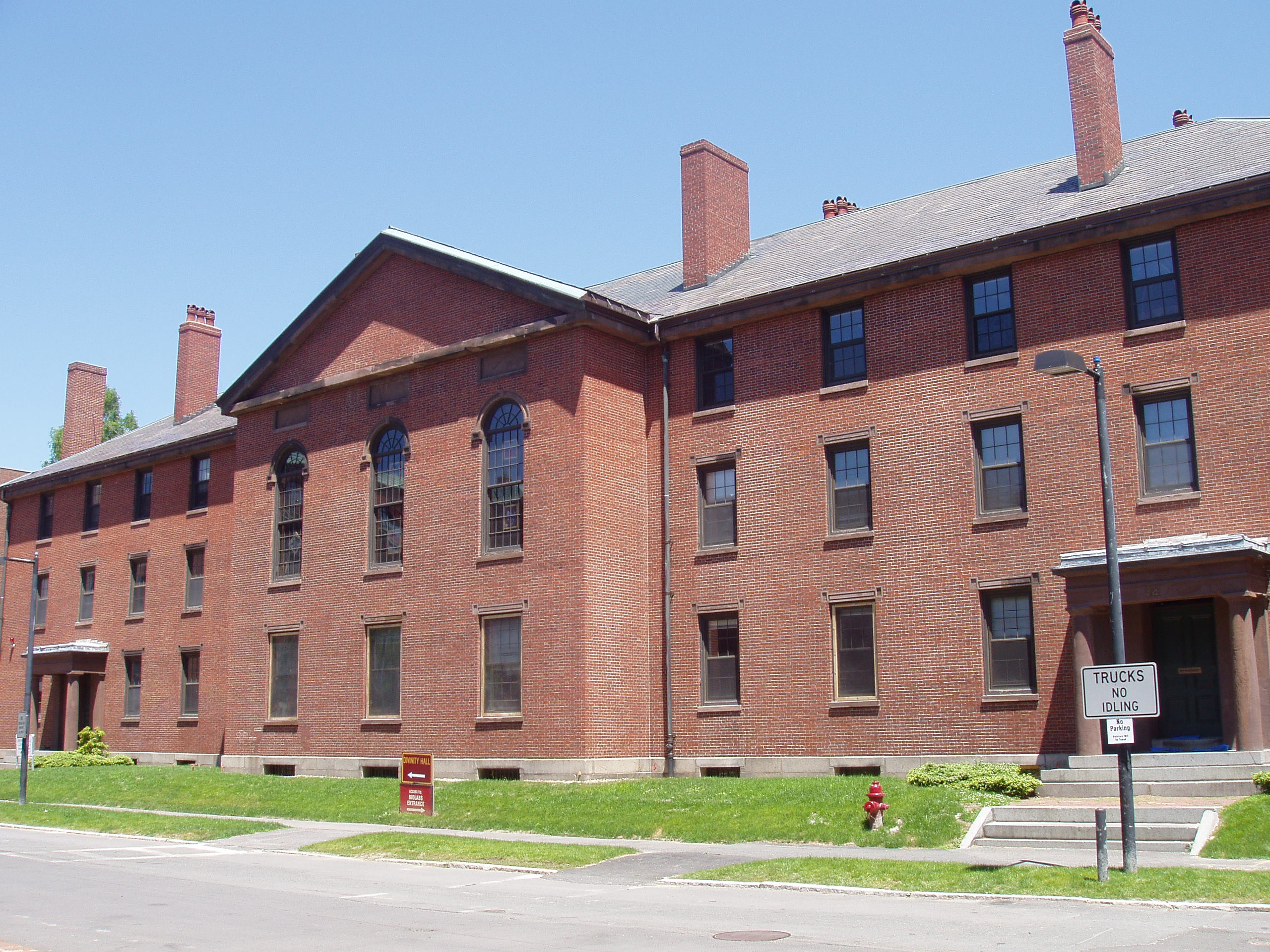
| 65 |
Divinity Hall |
 |
01986-09-12 September 12, 1986 |
12 Divinity Ave.
42°22′43″N 71°6′53″W / 42.37861°N 71.11472°W / 42.37861; -71.11472 (Divinity Hall) |
|
| 66 |
Edward Dodge House |
 |
01982-04-13 April 13, 1982 |
70 Sparks St.
42°22′47″N 71°7′53″W / 42.37972°N 71.13139°W / 42.37972; -71.13139 (Dodge, Edward, House) |
|
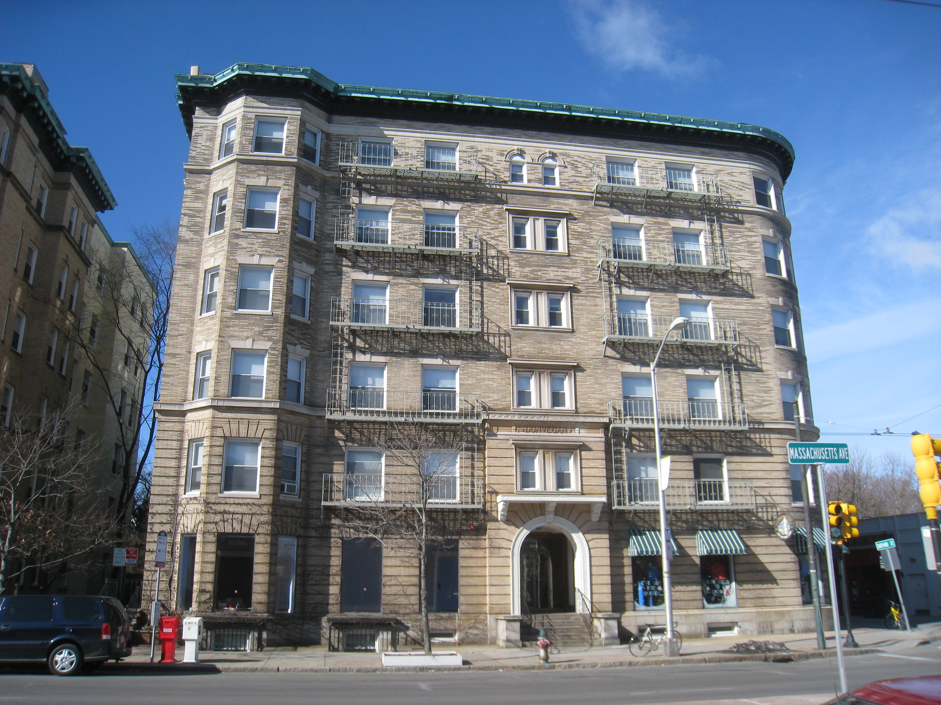
| 67 |
The Dunvegan |
 |
01986-05-19 May 19, 1986 |
1654 Massachusetts Ave.
42°22′53″N 71°7′16″W / 42.38139°N 71.12111°W / 42.38139; -71.12111 (Dunvegan, The) |
|
| 68 |
East Cambridge Historic District |
 |
01983-06-30 June 30, 1983 |
Roughly bounded by Cambridge, Hurley and 5th Sts.
42°22′12″N 71°4′51″W / 42.37°N 71.08083°W / 42.37; -71.08083 (East Cambridge Historic District) |
|
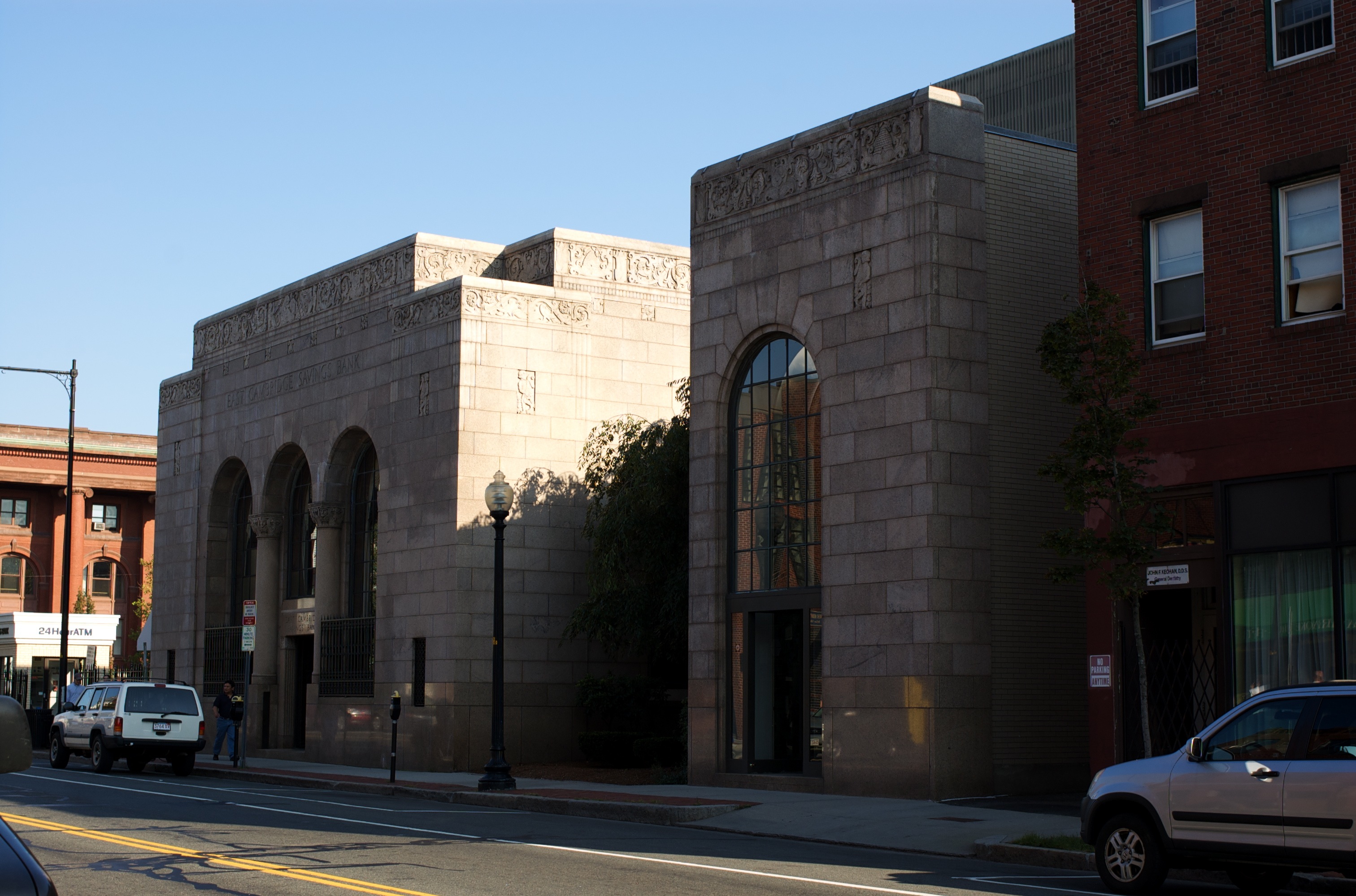
| 69 |
East Cambridge Savings Bank |
 |
01982-04-13 April 13, 1982 |
292 Cambridge St.
42°22′14″N 71°5′36″W / 42.37056°N 71.09333°W / 42.37056; -71.09333 (East Cambridge Savings Bank) |
|
| 70 |
Eliot Hall at Radcliffe College |
 |
01986-05-19 May 19, 1986 |
51 Shepard St.
42°22′51″N 71°7′29″W / 42.38083°N 71.12472°W / 42.38083; -71.12472 (Eliot Hall at Radcliffe College) |
|
| 71 |
Asa Ellis House |
 |
01983-06-30 June 30, 1983 |
158 Auburn St.
42°21′48″N 71°6′20″W / 42.36333°N 71.10556°W / 42.36333; -71.10556 (Ellis, Asa, House) |
|
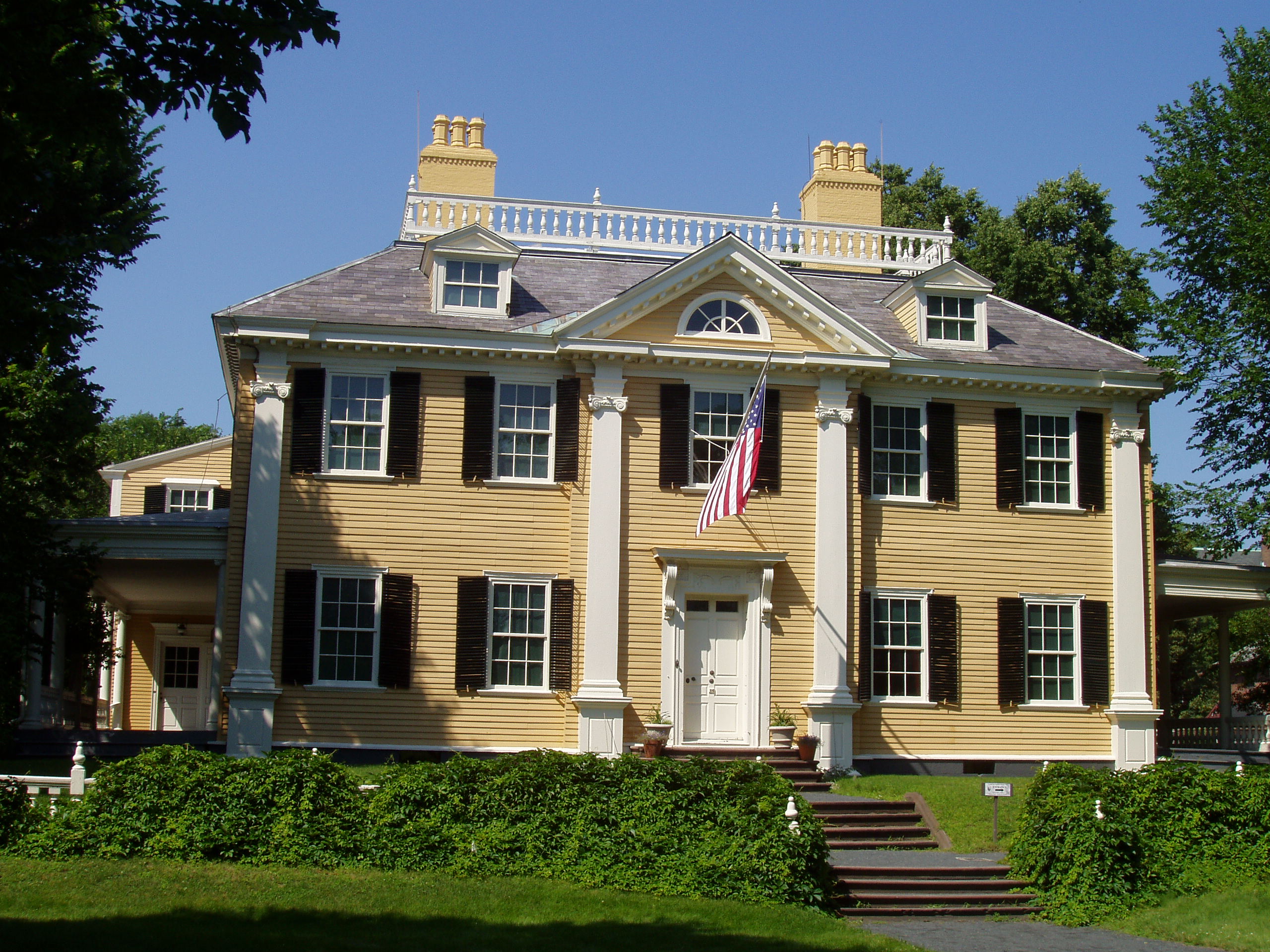
| 72 |
Elmwood |
 |
01966-10-15 October 15, 1966 |
33 Elmwood Ave.
42°22′31″N 71°8′19″W / 42.37528°N 71.13861°W / 42.37528; -71.13861 (Elmwood) |
|
| 73 |
R.H. Farwell House |
 |
01982-04-13 April 13, 1982 |
2222-2224 Massachusetts Ave.
42°23′35″N 71°7′36″W / 42.39306°N 71.12667°W / 42.39306; -71.12667 (Farwell, R.H., House) |
|
| 74 |
Issac Fay House |
 |
01983-06-30 June 30, 1983 |
125 Antrim St.
42°22′22″N 71°6′51″W / 42.37278°N 71.11417°W / 42.37278; -71.11417 (Fay, Issac, House) |
|
| 75 |
First Baptist Church |
 |
01975-04-14 April 14, 1975 |
Magazine and River Sts.
42°21′53″N 71°6′20″W / 42.36472°N 71.10556°W / 42.36472; -71.10556 (First Baptist Church) |
|
| 76 |
Ernst Flentje House |
 |
01983-06-30 June 30, 1983 |
129 Magazine St.
42°21′32″N 71°6′43″W / 42.35889°N 71.11194°W / 42.35889; -71.11194 (Flentje, Ernst, House) |
|
| 77 |
Fogg Art Museum |
 |
01986-05-19 May 19, 1986 |
26-32 Quincy St.
42°22′27″N 71°6′53″W / 42.37417°N 71.11472°W / 42.37417; -71.11472 (Fogg Art Museum) |
|
| 78 |
Follen Street Historic District |
 |
01986-05-19 May 19, 1986 |
1-44 and 5-29 Follen St.
42°22′43″N 71°7′24″W / 42.37861°N 71.12333°W / 42.37861; -71.12333 (Follen Street Historic District) |
|
| 79 |
Fort Washington |
 |
01973-04-03 April 3, 1973 |
95 Waverly St.
42°21′23″N 71°6′17″W / 42.35639°N 71.10472°W / 42.35639; -71.10472 (Fort Washington) |
|
| 80 |
Fresh Pond Hotel |
 |
01982-04-13 April 13, 1982 |
234 Lakeview Ave.
42°22′58.5″N 71°8′27.7″W / 42.382917°N 71.141028°W / 42.382917; -71.141028 (Fresh Pond Hotel) |
|
| 81 |
Fresh Pond Parkway-Metropolitan Park System of Greater Boston |
 |
02005-01-05 January 5, 2005 |
Fresh Pond Parkway
42°22′51″N 71°8′35″W / 42.38083°N 71.14306°W / 42.38083; -71.14306 (Fresh Pond Parkway-Metropolitan Park System of Greater Boston) |
|
| 82 |
David Frost House |
 |
01983-06-30 June 30, 1983 |
26 Gray St.
42°23′0″N 71°7′21″W / 42.383333°N 71.1225°W / 42.383333; -71.1225 (Frost, David, House) |
|
| 83 |
Elizabeth Frost Tenanthouse |
 |
01983-06-30 June 30, 1983 |
35 Bowdoin St.
42°23′0″N 71°7′20″W / 42.383333°N 71.12222°W / 42.383333; -71.12222 (Frost, Elizabeth, Tenanthouse) |
|
| 84 |
Robert Frost House |
 |
01982-04-13 April 13, 1982 |
29-35 Brewster St.
42°22′43″N 71°7′58″W / 42.37861°N 71.13278°W / 42.37861; -71.13278 (Frost, Robert, House) |
|
| 85 |
Walter Frost House |
 |
01982-04-13 April 13, 1982 |
10 Frost St.
42°23′10″N 71°7′4″W / 42.38611°N 71.11778°W / 42.38611; -71.11778 (Frost, Walter, House) |
|
| 86 |
Margaret Fuller House |
 |
01971-07-02 July 2, 1971 |
71 Cherry St.
42°21′52″N 71°5′53″W / 42.36444°N 71.09806°W / 42.36444; -71.09806 (Fuller, Margaret, House) |
|
| 87 |
George Gale House |
 |
01988-02-10 February 10, 1988 |
14-16 Clinton St.
42°22′5″N 71°6′25″W / 42.36806°N 71.10694°W / 42.36806; -71.10694 (Gale, George, House) |
|
| 88 |
Garfield Street Historic District |
 |
01983-06-30 June 30, 1983 |
Garfield St. between Massachusetts Ave. and Oxford St.
42°23′2″N 71°7′6″W / 42.38389°N 71.11833°W / 42.38389; -71.11833 (Garfield Street Historic District) |
|
| 89 |
Gray Gardens East and West Historic District |
 |
01986-05-19 May 19, 1986 |
1-37 Gray Gardens E, 3-24 Gray Gardens W, 91 Garden and 60 Raymond Sts.
42°23′1″N 71°7′43″W / 42.38361°N 71.12861°W / 42.38361; -71.12861 (Gray Gardens East and West Historic District) |
|
| 90 |
Asa Gray House |
 |
01966-10-15 October 15, 1966 |
88 Garden St.
42°22′59″N 71°7′41″W / 42.38306°N 71.12806°W / 42.38306; -71.12806 (Gray, Asa, House) |
|
| 91 |
Greek Revival Cottage |
 |
01982-04-13 April 13, 1982 |
59 Rice St.
42°23′39″N 71°7′49″W / 42.39417°N 71.13028°W / 42.39417; -71.13028 (Greek Revival Cottage) |
|
| 92 |
Hall Tavern |
 |
01983-06-30 June 30, 1983 |
20 Gray Gardens West St.
42°22′58″N 71°7′47″W / 42.38278°N 71.12972°W / 42.38278; -71.12972 (Hall Tavern) |
|
| 93 |
Richard Hapgood House |
 |
01986-05-19 May 19, 1986 |
382-392 Harvard St.
42°22′16″N 71°6′48″W / 42.37111°N 71.11333°W / 42.37111; -71.11333 (Hapgood, Richard, House) |
|
| 94 |
Harvard Houses Historic District |
 |
01986-09-12 September 12, 1986 |
Roughly bounded by Mt. Auburn, Grant, and Cowperwaite Sts., Banks St., Putman Ave., Memorial Drive, and John F. Kennedy St.
42°22′12″N 71°7′5″W / 42.37°N 71.11806°W / 42.37; -71.11806 (Harvard Houses Historic District) |
|
| 95 |
Harvard Lampoon Building |
 |
01978-03-30 March 30, 1978 |
44 Bow St.
42°22′18″N 71°7′4″W / 42.37167°N 71.11778°W / 42.37167; -71.11778 (Harvard Lampoon Building) |
|
| 96 |
Harvard Square Historic District |
 |
01982-04-13 April 13, 1982 |
Massachusetts Ave., John F. Kennedy and Brattle Sts.; also roughly bounded by Massachusetts Ave. and Harvard, Mt. Auburn, Winthrop, Bennett, Story, and Church Sts.
42°22′25″N 71°7′11″W / 42.37361°N 71.11972°W / 42.37361; -71.11972 (Harvard Square Historic District) |
Second set of boundaries represents a boundary increase |
| 97 |
Harvard Square Subway Kiosk |
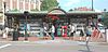 |
01978-01-30 January 30, 1978 |
Massachusetts Ave. and John F. Kennedy St.
42°22′24.9″N 71°7′8.3″W / 42.373583°N 71.118972°W / 42.373583; -71.118972 (Harvard Square Subway Kiosk) |
|
| 98 |
Harvard Street Historic District |
 |
01982-04-13 April 13, 1982 |
Harvard St. between Ellery and Hancock Sts.
42°22′14″N 71°6′35″W / 42.37056°N 71.10972°W / 42.37056; -71.10972 (Harvard Street Historic District) |
|
| 99 |
Harvard Union |
 |
01987-01-26 January 26, 1987 |
Quincy and Harvard Sts.
42°22′21″N 71°6′54″W / 42.3725°N 71.115°W / 42.3725; -71.115 (Harvard Union) |
|
| 100 |
Harvard Yard Historic District |
 |
01987-12-14 December 14, 1987 |
Roughly bounded by underpass, Broadway & Quincy Sts., Massachusetts Ave., & Peabody St.
42°22′27″N 71°7′2″W / 42.37417°N 71.11722°W / 42.37417; -71.11722 (Harvard Yard Historic District) |
|
| 101 |
Hastings Square Historic District |
 |
01982-04-13 April 13, 1982 |
Roughly bounded by Rockingham, Henry, Chestnut and Brookline Sts.
42°21′23″N 71°6′36″W / 42.35639°N 71.11°W / 42.35639; -71.11 (Hastings Square Historic District) |
|
| 102 |
Oliver Hastings House |
 |
01970-12-30 December 30, 1970 |
101 Brattle St.
42°22′36″N 71°7′36″W / 42.37667°N 71.12667°W / 42.37667; -71.12667 (Hastings, Oliver, House) |
|
| 103 |
Hasty Pudding Club |
 |
01978-01-09 January 9, 1978 |
12 Holyoke St.
42°22′21″N 71°7′5″W / 42.3725°N 71.11806°W / 42.3725; -71.11806 (Hasty Pudding Club) |
|
| 104 |
Henderson Carriage Repository |
 |
01982-04-13 April 13, 1982 |
2067-2089 Massachusetts Ave.
42°23′29″N 71°7′25″W / 42.39139°N 71.12361°W / 42.39139; -71.12361 (Henderson Carriage Repository) |
|
| 105 |
Col. Thomas Wentworth Higginson House |
 |
01982-04-13 April 13, 1982 |
29 Buckingham St.
42°22′49″N 71°7′50″W / 42.38028°N 71.13056°W / 42.38028; -71.13056 (Higginson, Col. Thomas Wentworth, House) |
|
| 106 |
Aaron Hill House |
 |
01983-06-30 June 30, 1983 |
17 Brown St.
42°22′34″N 71°7′46″W / 42.37611°N 71.12944°W / 42.37611; -71.12944 (Hill, Aaron, House) |
|
| 107 |
Joseph Holmes House |
 |
01983-06-30 June 30, 1983 |
144 Coolidge Hill St.
42°22′18″N 71°8′24″W / 42.37167°N 71.14°W / 42.37167; -71.14 (Holmes, Joseph, House) |
|
| 108 |
Homer-Lovell House |
 |
01983-12-22 December 22, 1983 |
11 Forest St.
42°23′7″N 71°7′5″W / 42.38528°N 71.11806°W / 42.38528; -71.11806 (Homer-Lovell House) |
|
| 109 |
Hooper-Eliot House |
 |
01983-06-30 June 30, 1983 |
25 Reservoir Rd.
42°22′44″N 71°8′13″W / 42.37889°N 71.13694°W / 42.37889; -71.13694 (Hooper-Eliot House) |
|
| 110 |
Hooper-Lee-Nichols House |
 |
01979-06-15 June 15, 1979 |
159 Brattle St.
42°22′37″N 71°8′11″W / 42.37694°N 71.13639°W / 42.37694; -71.13639 (Hooper-Lee Nichols House) |
|
| 111 |
Howe House |
 |
01983-06-30 June 30, 1983 |
6 Appleton St.
42°22′40″N 71°8′1″W / 42.37778°N 71.13361°W / 42.37778; -71.13361 (Howe House) |
|
| 112 |
William Dean Howells House |
 |
01982-04-13 April 13, 1982 |
37 Concord Ave.
42°22′48″N 71°7′39″W / 42.38°N 71.1275°W / 42.38; -71.1275 (Howells, William Dean, House) |
|
| 113 |
Benjamin Hoyt House |
 |
01982-04-13 April 13, 1982 |
134 Otis St.
42°22′14″N 71°5′5″W / 42.37056°N 71.08472°W / 42.37056; -71.08472 (Hoyt, Benjamin, House) |
|
| 114 |
Hubbard Park Historic District |
 |
01982-04-13 April 13, 1982 |
Hubbard Park, Mercer Circle and Sparks Sts.
42°22′36″N 71°7′54″W / 42.37667°N 71.13167°W / 42.37667; -71.13167 (Hubbard Park Historic District) |
|
| 115 |
Inman Square Historic District |
 |
01982-04-13 April 13, 1982 |
Hampshire, Cambridge, and Inman Sts.
42°22′25″N 71°6′5″W / 42.37361°N 71.10139°W / 42.37361; -71.10139 (Inman Square Historic District) |
|
| 116 |
The Jarvis |
 |
01986-05-19 May 19, 1986 |
27 Everett St.
42°22′35″N 71°7′7″W / 42.37639°N 71.11861°W / 42.37639; -71.11861 (Jarvis, The) |
|
| 117 |
William R. Jones House |
 |
01983-06-30 June 30, 1983 |
307 Harvard St.
42°22′12″N 71°6′24″W / 42.37°N 71.10667°W / 42.37; -71.10667 (Jones, William R., House) |
|
| 118 |
F. A. Kennedy Steam Bakery |
 |
01990-01-04 January 4, 1990 |
129 Franklin St.
42°21′43″N 71°6′5″W / 42.36194°N 71.10139°W / 42.36194; -71.10139 (Kennedy, F. A., Steam Bakery) |
|
| 119 |
Kidder-Sargent-McCrehan House |
 |
01982-04-13 April 13, 1982 |
146 Rindge Ave.
42°23′34″N 71°7′52″W / 42.39278°N 71.13111°W / 42.39278; -71.13111 (Kidder-Sargent-McCrehan House) |
|
| 120 |
Chester Kingsley House |
 |
01982-04-13 April 13, 1982 |
10 Chester St.
42°23′37″N 71°7′29″W / 42.39361°N 71.12472°W / 42.39361; -71.12472 (Kingsley, Chester, House) |
|
| 121 |
Kirkland Place Historic District |
 |
01986-05-19 May 19, 1986 |
Kirkland Pl.
42°22′41″N 71°6′51″W / 42.37806°N 71.11417°W / 42.37806; -71.11417 (Kirkland Place Historic District) |
|
| 122 |
Rufus Lamson House |
 |
01982-04-13 April 13, 1982 |
72-74 Hampshire St.
42°22′3″N 71°5′39″W / 42.3675°N 71.09417°W / 42.3675; -71.09417 (Lamson, Rufus, House) |
|
| 123 |
The Larches |
 |
01982-04-13 April 13, 1982 |
22 Larch Rd.
42°22′36″N 71°8′35″W / 42.37667°N 71.14306°W / 42.37667; -71.14306 (Larches, The) |
|
| 124 |
Lechmere Point Corporation Houses |
 |
01982-04-13 April 13, 1982 |
45-51 Gore St. and 25 3rd St.
42°22′18″N 71°4′49″W / 42.37167°N 71.08028°W / 42.37167; -71.08028 (Lechmere Point Corporation Houses) |
|
| 125 |
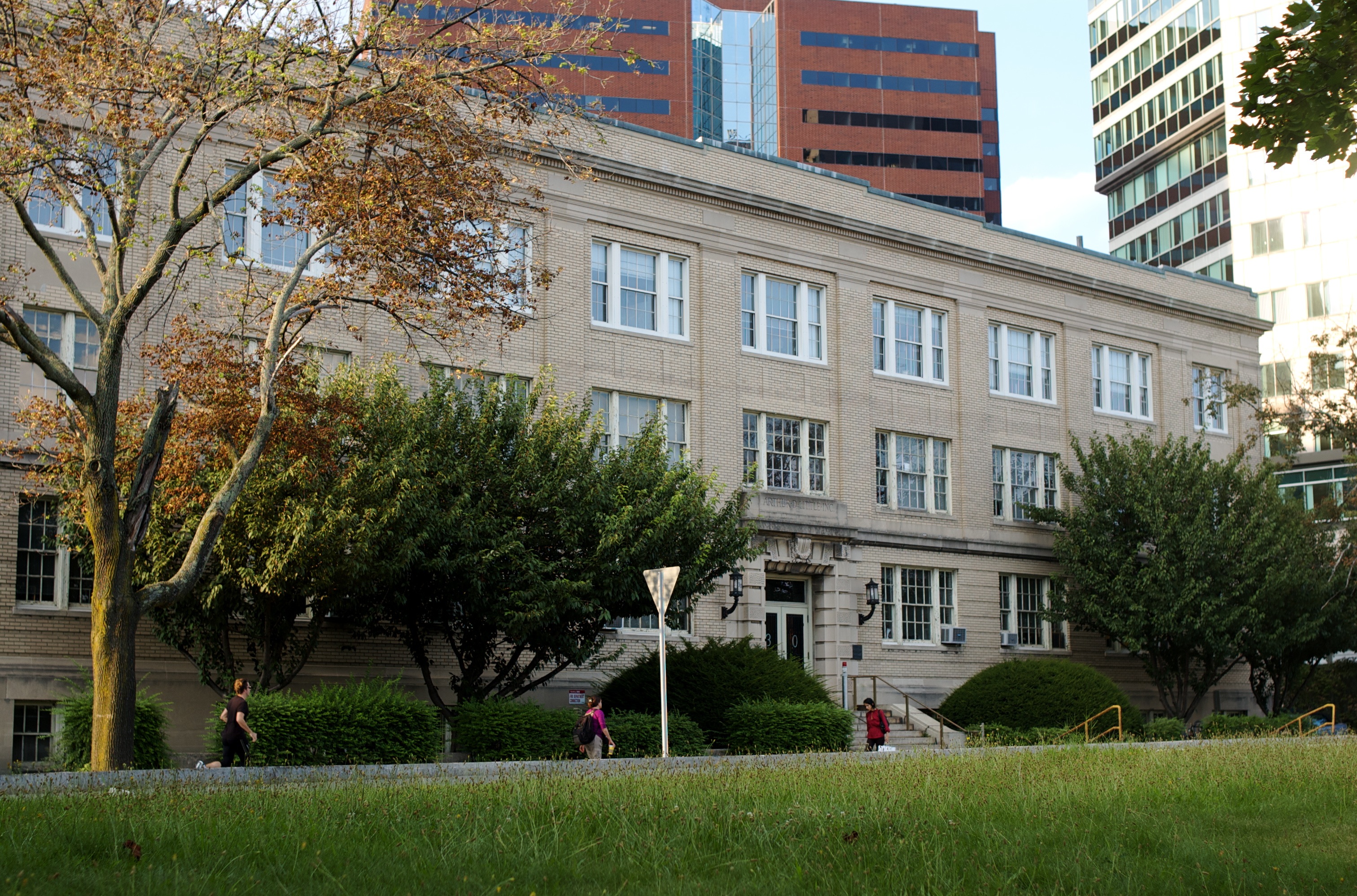
Arthur D. Little, Inc. Building |
 |
01976-12-08 December 8, 1976 |
30 Memorial Dr.
42°21′46″N 71°5′10″W / 42.36278°N 71.08611°W / 42.36278; -71.08611 (Little, Arthur D., Inc., Building) |
|
| 126 |
Littlefield-Roberts House |
 |
01986-09-12 September 12, 1986 |
16 Prescott St.
42°22′23″N 71°6′50″W / 42.37306°N 71.11389°W / 42.37306; -71.11389 (Littlefield-Roberts House) |
|
| 127 |
Longfellow National Historic Site |
 |
01966-10-15 October 15, 1966 |
105 Brattle St.
42°22′37″N 71°7′37″W / 42.37694°N 71.12694°W / 42.37694; -71.12694 (Longfellow National Historic Site) |
|
| 128 |
Lovell Block |
 |
01983-06-30 June 30, 1983 |
1853 Massachusetts Ave.
42°23′14″N 71°7′11″W / 42.38722°N 71.11972°W / 42.38722; -71.11972 (Lovell Block) |
|
| 129 |
Joseph Lovering House |
 |
01986-09-12 September 12, 1986 |
38 Kirkland St.
42°22′36″N 71°6′48″W / 42.37667°N 71.11333°W / 42.37667; -71.11333 (Lovering, Joseph, House) |
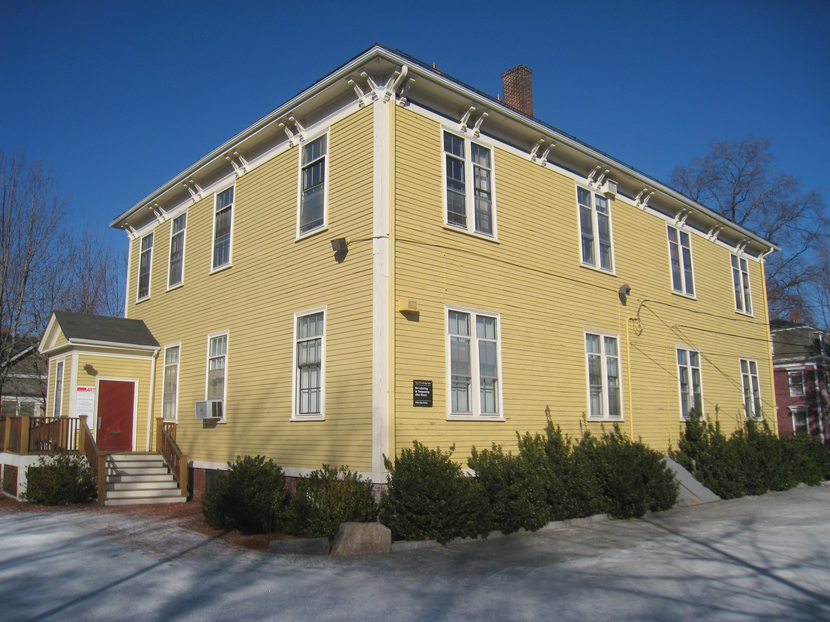
|
| 130 |
Lowell School |
 |
01982-04-13 April 13, 1982 |
25 Lowell St.
42°22′30″N 71°8′2″W / 42.375°N 71.13389°W / 42.375; -71.13389 (Lowell School) |
|
| 131 |
The Lowell |
 |
01983-06-30 June 30, 1983 |
33 Lexington Ave.
42°22′37″N 71°8′25″W / 42.37694°N 71.14028°W / 42.37694; -71.14028 (Lowell, The) |
|
| 132 |
Maple Avenue Historic District |
 |
01983-06-30 June 30, 1983 |
Maple Ave. between Marie Ave. and Broadway
42°22′20″N 71°6′18″W / 42.37222°N 71.105°W / 42.37222; -71.105 (Maple Avenue Historic District) |
|
| 133 |
Josiah Mason, Jr. House |
 |
01982-04-13 April 13, 1982 |
11 Market St.
42°22′1″N 71°5′40″W / 42.36694°N 71.09444°W / 42.36694; -71.09444 (Mason, Josiah, Jr., House) |
|
| 134 |
W. A. Mason House |
 |
01983-06-30 June 30, 1983 |
87 Raymond St.
42°23′8″N 71°7′34″W / 42.38556°N 71.12611°W / 42.38556; -71.12611 (Mason, W. A., House) |
|
| 135 |
Massachusetts Hall, Harvard University |
|
01966-10-15 October 15, 1966 |
Harvard University Yard
42°22′28″N 71°7′8″W / 42.37444°N 71.11889°W / 42.37444; -71.11889 (Massachusetts Hall, Harvard University) |
|
| 136 |
Isaac McLean House |
 |
01982-04-13 April 13, 1982 |
2218 Massachusetts Ave.
42°23′34″N 71°7′35″W / 42.39278°N 71.12639°W / 42.39278; -71.12639 (McLean, Isaac, House) |
|
| 137 |
Alpheus Mead House |
 |
01982-04-13 April 13, 1982 |
2200 Massachusetts Ave.
42°23′33″N 71°7′33″W / 42.3925°N 71.12583°W / 42.3925; -71.12583 (Mead, Alpheus, House) |
|
| 138 |
Isaac Melvin House |
 |
01982-04-13 April 13, 1982 |
19 Centre St.
42°22′11″N 71°6′34″W / 42.36972°N 71.10944°W / 42.36972; -71.10944 (Melvin, Isaac, House) |
|
| 139 |
Memorial Drive Apartments Historic District |
 |
01986-05-19 May 19, 1986 |
983-984, 985-986, 987-989, and 992-993 Memorial Dr.
42°22′22″N 71°7′33″W / 42.37278°N 71.12583°W / 42.37278; -71.12583 (Memorial Drive Apartments Historic District) |
|
| 140 |
Memorial Hall, Harvard University |
 |
01970-12-30 December 30, 1970 |
Cambridge and Quincy Sts., Harvard University campus
42°22′33″N 71°6′57″W / 42.37583°N 71.11583°W / 42.37583; -71.11583 (Memorial Hall, Harvard University) |
|
| 141 |
The Montrose |
 |
01986-05-19 May 19, 1986 |
1648 Massachusetts Ave.
42°22′52″N 71°7′16″W / 42.38111°N 71.12111°W / 42.38111; -71.12111 (Montrose, The) |
|
| 142 |
Mount Auburn Cemetery |
 |
01975-04-21 April 21, 1975 |
580 Mount Auburn St.
42°22′14″N 71°8′45″W / 42.37056°N 71.14583°W / 42.37056; -71.14583 (Mount Auburn Cemetery) |
Declared a National Historic Landmark on 02003-05-27 May 27, 2003 with a small boundary increase |
| 143 |
Mount Auburn Cemetery Reception House |
 |
01983-06-30 June 30, 1983 |
583 Mt. Auburn St.
42°22′32″N 71°8′45″W / 42.37556°N 71.14583°W / 42.37556; -71.14583 (Mount Auburn Cemetery Reception House) |
|
| 144 |
New England Confectionery Company Factory |
 |
02005-11-09 November 9, 2005 |
250 Massachusetts Ave.
42°21′39″N 71°5′54″W / 42.36083°N 71.09833°W / 42.36083; -71.09833 (New England Confectionery Company Factory) |
|
| 145 |
Andrew Newman House |
 |
01982-04-13 April 13, 1982 |
23 Fairmont St.
42°21′41″N 71°6′39″W / 42.36139°N 71.11083°W / 42.36139; -71.11083 (Newman, Andrew, House) |
|
| 146 |
Norfolk Street Historic District |
 |
01982-04-13 April 13, 1982 |
Norfolk St. between Suffolk and Austin Sts.
42°21′57″N 71°6′4″W / 42.36583°N 71.10111°W / 42.36583; -71.10111 (Norfolk Street Historic District) |
|
| 147 |
North Avenue Congregational Church |
 |
01983-06-30 June 30, 1983 |
1803 Massachusetts Ave.
42°23′12″N 71°7′7″W / 42.38667°N 71.11861°W / 42.38667; -71.11861 (North Avenue Congregational Church) |
|
| 148 |
J.A. Noyes House |
 |
01982-04-13 April 13, 1982 |
1 Highland St.
42°22′46″N 71°7′56″W / 42.37944°N 71.13222°W / 42.37944; -71.13222 (Noyes, J.A., House) |
|
| 149 |
Odd Fellows Hall |
 |
01982-04-13 April 13, 1982 |
536 Massachusetts Ave.
42°21′51″N 71°6′9″W / 42.36417°N 71.1025°W / 42.36417; -71.1025 (Odd Fellows Hall) |
|
| 150 |
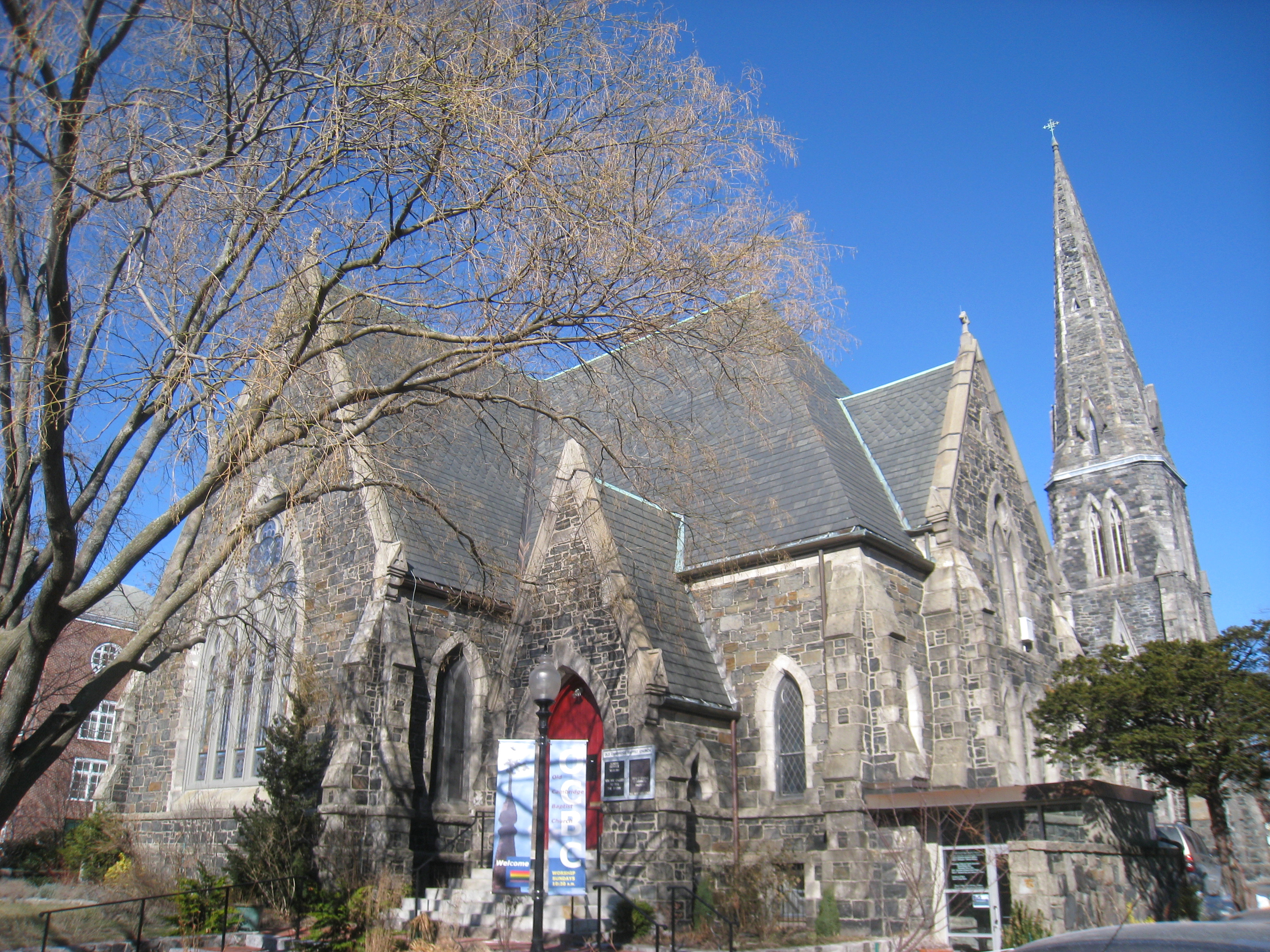
Old Cambridge Baptist Church |
 |
01982-04-13 April 13, 1982 |
398 Harvard St.
42°22′17″N 71°6′53″W / 42.37139°N 71.11472°W / 42.37139; -71.11472 (Old Cambridge Baptist Church) |
|
| 151 |
Old Cambridge Historic District |
 |
01983-06-30 June 30, 1983 |
Irregular pattern along Brattle St.
42°22′37″N 71°8′25″W / 42.37694°N 71.14028°W / 42.37694; -71.14028 (Old Cambridge Historic District) |
|
| 152 |
Old Cambridgport Historic District |
 |
01983-06-30 June 30, 1983 |
Cherry, Harvard and Washington Sts.
42°21′57″N 71°5′50″W / 42.36583°N 71.09722°W / 42.36583; -71.09722 (Old Cambridgport Historic District) |
|
| 153 |
Old Harvard Yard |
|
01973-02-06 February 6, 1973 |
Massachusetts Ave. and Cambridge St.
42°22′30″N 71°7′30″W / 42.375°N 71.125°W / 42.375; -71.125 (Old Harvard Yard) |
|
| 154 |
Opposition House |
 |
01982-04-13 April 13, 1982 |
2-4 Hancock Pl.
42°22′10″N 71°6′26″W / 42.36944°N 71.10722°W / 42.36944; -71.10722 (Opposition House) |
|
| 155 |
Sarah Orne House |
 |
01983-06-30 June 30, 1983 |
10 Coolidge Hill Rd.
42°22′26″N 71°8′24″W / 42.37389°N 71.14°W / 42.37389; -71.14 (Orne, Sarah, House) |
|
| 156 |
Peabody Court Apartments |
 |
01986-05-19 May 19, 1986 |
41-43 Linnaean St.
42°23′0″N 71°7′31″W / 42.383333°N 71.12528°W / 42.383333; -71.12528 (Peabody Court Apartments) |
|
| 157 |
Porcellian Club |
 |
01983-06-30 June 30, 1983 |
1320-24 Massachusetts Ave.
42°22′22″N 71°7′6″W / 42.37278°N 71.11833°W / 42.37278; -71.11833 (Porcellian Club) |
|
| 158 |
Dexter Pratt House |
 |
01973-05-08 May 8, 1973 |
54 Brattle St.
42°22′28″N 71°7′24″W / 42.37444°N 71.12333°W / 42.37444; -71.12333 (Pratt, Dexter, House) |
|
| 159 |
Prospect Congregational Church |
 |
01982-04-13 April 13, 1982 |
99 Prospect St.
42°22′4″N 71°6′12″W / 42.36778°N 71.10333°W / 42.36778; -71.10333 (Prospect Congregational Church) |
|
| 160 |
Cheney Read House |
 |
01982-04-13 April 13, 1982 |
135 Western Ave.
42°21′54″N 71°6′32″W / 42.365°N 71.10889°W / 42.365; -71.10889 (Read, Cheney, House) |
|
| 161 |
Edmund Reardon House |
 |
01982-04-13 April 13, 1982 |
195 Erie St.
42°21′37″N 71°6′31″W / 42.36028°N 71.10861°W / 42.36028; -71.10861 (Reardon, Edmund, House) |
|
| 162 |
Reversible Collar Company Building |
 |
01985-09-27 September 27, 1985 |
25-27 Mt. Auburn & 10-12 Arrow Sts.
42°22′15″N 71°6′55″W / 42.37083°N 71.11528°W / 42.37083; -71.11528 (Reversible Collar Company Building) |
|
| 163 |
Theodore W. Richards House |
 |
01976-01-07 January 7, 1976 |
15 Follen St.
42°22′43″N 71°7′22″W / 42.37861°N 71.12278°W / 42.37861; -71.12278 (Richards, Theodore W., House) |
|
| 164 |
River Street Firehouse |
 |
01982-04-13 April 13, 1982 |
176 River St.
42°21′47″N 71°6′38″W / 42.36306°N 71.11056°W / 42.36306; -71.11056 (River Street Firehouse) |
|
| 165 |
Sacred Heart Church, Rectory, School and Convent |
 |
01982-04-13 April 13, 1982 |
6th and Thorndike Sts.
42°22′14″N 71°5′10″W / 42.37056°N 71.08611°W / 42.37056; -71.08611 (Sacred Heart Church, Rectory, School and Convent) |
|
| 166 |
St. James Episcopal Church |
 |
01983-06-30 June 30, 1983 |
1991 Massachusetts Ave.
42°23′27″N 71°7′16″W / 42.39083°N 71.12111°W / 42.39083; -71.12111 (St. James Episcopal Church) |
|
| 167 |
St. John's Roman Catholic Church |
 |
01983-06-30 June 30, 1983 |
2270 Massachusetts Ave.
42°23′38″N 71°7′40″W / 42.39389°N 71.12778°W / 42.39389; -71.12778 (St. John's Roman Catholic Church) |
|
| 168 |
Salem-Auburn Streets Historic District |
 |
01982-04-13 April 13, 1982 |
Salem and Auburn Sts.
42°21′46″N 71°6′14″W / 42.36278°N 71.10389°W / 42.36278; -71.10389 (Salem-Auburn Streets Historic District) |
|
| 169 |
Hiram Sands House |
 |
01976-04-30 April 30, 1976 |
22 Putnam Ave.
42°22′9″N 71°6′50″W / 42.36917°N 71.11389°W / 42.36917; -71.11389 (Sands, Hiram, House) |
|
| 170 |
Ivory Sands House |
 |
01982-04-13 April 13, 1982 |
145 Elm St.
42°22′13″N 71°5′52″W / 42.37028°N 71.09778°W / 42.37028; -71.09778 (Sands, Ivory, House) |
|
| 171 |
William Saunders House |
 |
01983-06-30 June 30, 1983 |
6 Prentiss St.
42°23′3″N 71°7′10″W / 42.38417°N 71.11944°W / 42.38417; -71.11944 (Saunders, William, House) |
|
| 172 |
Sears Tower-Harvard Observatory |
 |
01987-02-26 February 26, 1987 |
60 Garden St.
42°22′52″N 71°7′44″W / 42.38111°N 71.12889°W / 42.38111; -71.12889 (Sears Tower-Harvard Observatory) |
|
| 173 |
Second Cambridge Savings Bank Building |
 |
01983-06-30 June 30, 1983 |
11-21 Dunster St.
42°22′22″N 71°6′28″W / 42.37278°N 71.10778°W / 42.37278; -71.10778 (Second Cambridge Savings Bank Building) |
|
| 174 |
Second Waterhouse House |
 |
01983-06-30 June 30, 1983 |
9 Follen St.
42°22′43″N 71°7′22″W / 42.37861°N 71.12278°W / 42.37861; -71.12278 (Second Waterhouse House) |
|
| 175 |
Sever Hall, Harvard University |
 |
01970-12-30 December 30, 1970 |
Harvard Yard
42°22′27″N 71°6′58″W / 42.37417°N 71.11611°W / 42.37417; -71.11611 (Sever Hall, Harvard University) |
|
| 176 |
Shady Hill Historic District |
 |
01986-05-19 May 19, 1986 |
Roughly bounded by Museum, Beacon and Holden, and Kirkland Sts., and Francis Ave.
42°22′45″N 71°6′41″W / 42.37917°N 71.11139°W / 42.37917; -71.11139 (Shady Hill Historic District) |
|
| 177 |
Shell Oil Company "Spectacular" Sign |
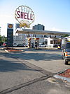 |
01994-06-03 June 3, 1994 |
187 Magazine St.
42°21′23″N 71°6′55″W / 42.35639°N 71.11528°W / 42.35639; -71.11528 (Shell Oil Company "Spectacular" Sign) |
|
| 178 |
Patrick Slowey House |
|
01982-04-13 April 13, 1982 |
73 Bolton St.
42°23′24″N 71°7′56″W / 42.39°N 71.13222°W / 42.39; -71.13222 (Slowey, Patrick, House) |
|
| 179 |
Lawrence Soule House |
 |
01982-04-13 April 13, 1982 |
11 Russell St.
42°23′33″N 71°7′25″W / 42.3925°N 71.12361°W / 42.3925; -71.12361 (Soule, Lawrence, House) |
|
| 180 |
The Stanstead |
 |
01986-05-19 May 19, 1986 |
19 Ware St.
42°22′26″N 71°6′52″W / 42.37389°N 71.11444°W / 42.37389; -71.11444 (Stanstead, The) |
|
| 181 |
Stickney-Shepard House |
 |
01986-05-19 May 19, 1986 |
11-13 Remington St.
42°22′16″N 71°6′51″W / 42.37111°N 71.11417°W / 42.37111; -71.11417 (Stickney-Shepard House) |
|
| 182 |
Mary Fisk Stoughton House |
 |
01989-06-29 June 29, 1989 |
90 Brattle St.
42°22′31″N 71°7′34″W / 42.37528°N 71.12611°W / 42.37528; -71.12611 (Stoughton, Mary Fisk, House) |
|
| 183 |
Taylor Square Firehouse |
 |
01982-04-13 April 13, 1982 |
113 Garden St.
42°23′2″N 71°7′50″W / 42.38389°N 71.13056°W / 42.38389; -71.13056 (Taylor Square Firehouse) |
|
| 184 |
Treadwell-Sparks House |
 |
01986-09-12 September 12, 1986 |
21 Kirkland St.
42°22′36″N 71°6′56″W / 42.37667°N 71.11556°W / 42.37667; -71.11556 (Treadwell-Sparks House) |
|
| 185 |
Union Railway Car Barn |
 |
01982-04-13 April 13, 1982 |
613-621 Cambridge St.
42°22′19″N 71°5′13″W / 42.37194°N 71.08694°W / 42.37194; -71.08694 (Union Railway Car Barn) |
|
| 186 |
University Hall, Harvard University |
 |
01970-12-30 December 30, 1970 |
Harvard Yard
42°22′28″N 71°7′5″W / 42.37444°N 71.11806°W / 42.37444; -71.11806 (University Hall, Harvard University) |
|
| 187 |
University Museum |
 |
01986-09-12 September 12, 1986 |
11-25 Divinity Ave.
42°22′42″N 71°6′57″W / 42.37833°N 71.11583°W / 42.37833; -71.11583 (University Museum) |
|
| 188 |
Upper Magazine Street Historic District |
 |
01982-04-13 April 13, 1982 |
Cottage, Magazine, William and Perry Sts.
42°21′47″N 71°6′25″W / 42.36306°N 71.10694°W / 42.36306; -71.10694 (Upper Magazine Street Historic District) |
|
| 189 |
Urban Rowhouse (30-38 Pearl Street) |
 |
01982-04-13 April 13, 1982 |
30-38 Pearl St.
42°21′50″N 71°6′14″W / 42.36389°N 71.10389°W / 42.36389; -71.10389 (Urban Rowhouse (30-38 Pearl Street)) |
|
| 190 |
Urban Rowhouse (40-48 Pearl Street) |
 |
01982-04-13 April 13, 1982 |
40-48 Pearl St.
42°21′50″N 71°6′14″W / 42.36389°N 71.10389°W / 42.36389; -71.10389 (Urban Rowhouse (40-48 Pearl Street)) |
|
| 191 |
Urban Rowhouse (26-32 River Street) |
 |
01983-06-30 June 30, 1983 |
26-32 River St.
42°21′52″N 71°6′23″W / 42.36444°N 71.10639°W / 42.36444; -71.10639 (Urban Rowhouse (26-32 River Street)) |
|
| 192 |
US Post Office-Central Square |
 |
01986-06-18 June 18, 1986 |
770 Massachusetts Ave.
42°21′58″N 71°6′23″W / 42.36611°N 71.10639°W / 42.36611; -71.10639 (US Post Office-Central Square) |
|
| 193 |
Valentine Soap Workers Cottage |
 |
01983-06-30 June 30, 1983 |
5–7 Cottage Street
42°21′45″N 71°6′20″W / 42.3625°N 71.10556°W / 42.3625; -71.10556 (Valentine Soap Workers Cottage) |
|
| 194 |
Valentine Soap Workers Cottage |
 |
01983-06-30 June 30, 1983 |
101 Pearl Street
42°21′44.6″N 71°6′19.2″W / 42.362389°N 71.105333°W / 42.362389; -71.105333 (Valentine Soap Workers Cottage) |
|
| 195 |
Albert Vinal House |
|
01983-06-30 June 30, 1983 |
325 Harvard St.
42°22′14″N 71°6′30″W / 42.37056°N 71.10833°W / 42.37056; -71.10833 (Vinal, Albert, House) |
|
| 196 |
Walden Street Cattle Pass |
 |
01994-06-03 June 3, 1994 |
Adjacent to MBTA right-of-way at Walden St.
42°23′22″N 71°7′29″W / 42.38944°N 71.12472°W / 42.38944; -71.12472 (Walden Street Cattle Pass) |
|
| 197 |
Ware Hall |
 |
01983-06-30 June 30, 1983 |
383 Harvard St.
42°22′19″N 71°6′49″W / 42.37194°N 71.11361°W / 42.37194; -71.11361 (Ware Hall) |
|
| 198 |
Langford H. Warren House |
 |
01986-05-19 May 19, 1986 |
6 Garden Terr.
42°23′16″N 71°7′42″W / 42.38778°N 71.12833°W / 42.38778; -71.12833 (Warren, Langford H., House) |
|
| 199 |
Abraham Watson House |
 |
01982-04-13 April 13, 1982 |
181-183 Sherman St.
42°23′33″N 71°7′58″W / 42.3925°N 71.13278°W / 42.3925; -71.13278 (Watson, Abraham, House) |
|
| 200 |
Stillman Willis House |
 |
01982-04-13 April 13, 1982 |
1 Potter Park
42°23′4″N 71°7′15″W / 42.38444°N 71.12083°W / 42.38444; -71.12083 (Willis, Stillman, House) |
|
| 201 |
Winter Street Historic District |
 |
01982-04-13 April 13, 1982 |
Winter St.
42°22′22″N 71°4′54″W / 42.37278°N 71.08167°W / 42.37278; -71.08167 (Winter Street Historic District) |
|
| 202 |
S. B. Withey House |
 |
01986-05-19 May 19, 1986 |
10 Appian Way
42°22′31″N 71°7′20″W / 42.37528°N 71.12222°W / 42.37528; -71.12222 (Withey, S. B., House) |
|
| 203 |
J. A. Wood House |
 |
01986-05-19 May 19, 1986 |
3 Sacramento St.
42°22′58″N 71°7′12″W / 42.38278°N 71.12°W / 42.38278; -71.12 (Wood, J. A., House) |
|
| 204 |
Wyeth Brickyard Superintendent's House |
 |
01982-04-13 April 13, 1982 |
336 Rindge Ave.
42°23′36″N 71°8′15″W / 42.39333°N 71.1375°W / 42.39333; -71.1375 (Wyeth Brickyard Superintendent's House) |
|
| 205 |
John Wyeth House |
 |
01982-04-13 April 13, 1982 |
56 Aberdeen Ave.
42°22′35″N 71°8′51″W / 42.37639°N 71.1475°W / 42.37639; -71.1475 (Wyeth, John, House) |
|
| 206 |
Wyeth-Smith House |
 |
01982-04-13 April 13, 1982 |
152 Vassal Lane
42°22′59″N 71°8′21″W / 42.38306°N 71.13917°W / 42.38306; -71.13917 (Wyeth-Smith House) |
|
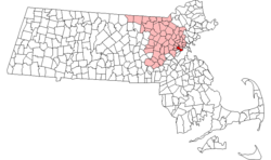 Location of Cambridge in Massachusetts