- National Register of Historic Places listings in Waltham, Massachusetts
-
This is a list of properties and historic districts in Waltham, Massachusetts that are listed on the National Register of Historic Places.
The locations of National Register properties and districts (at least for all showing latitude and longitude coordinates below) may be seen in a Google map by clicking on "Map of all coordinates".[1]
-
- This National Park Service list is complete through NPS recent listings posted November 4, 2011.[2]
Current listings
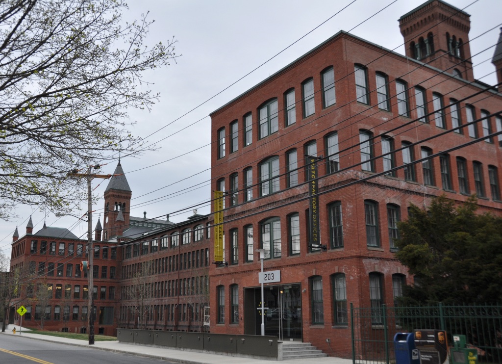
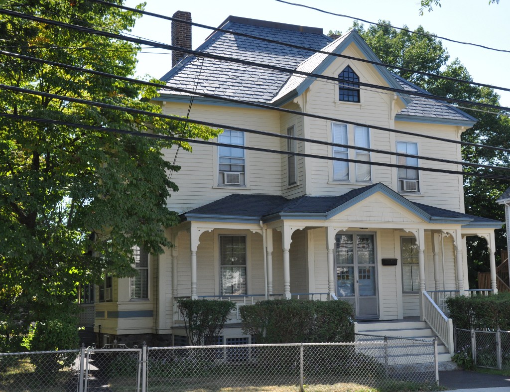
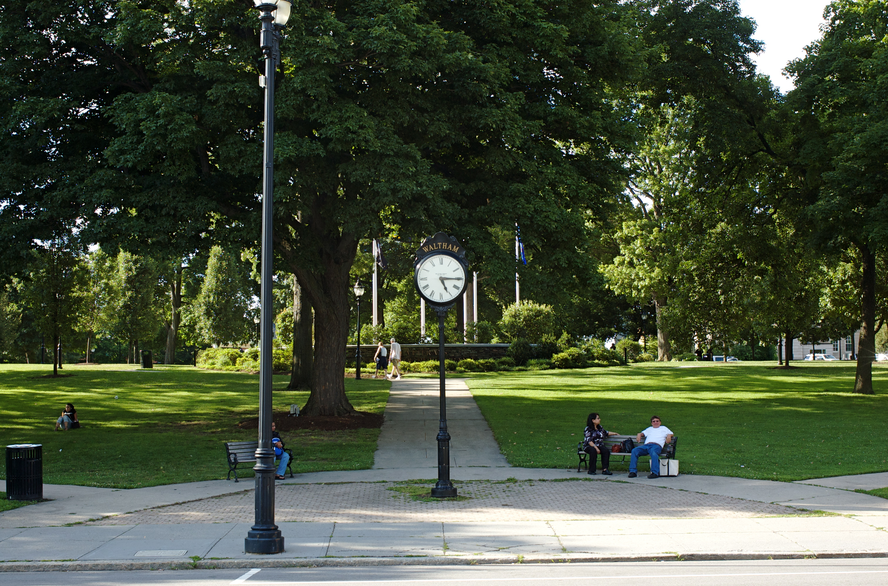
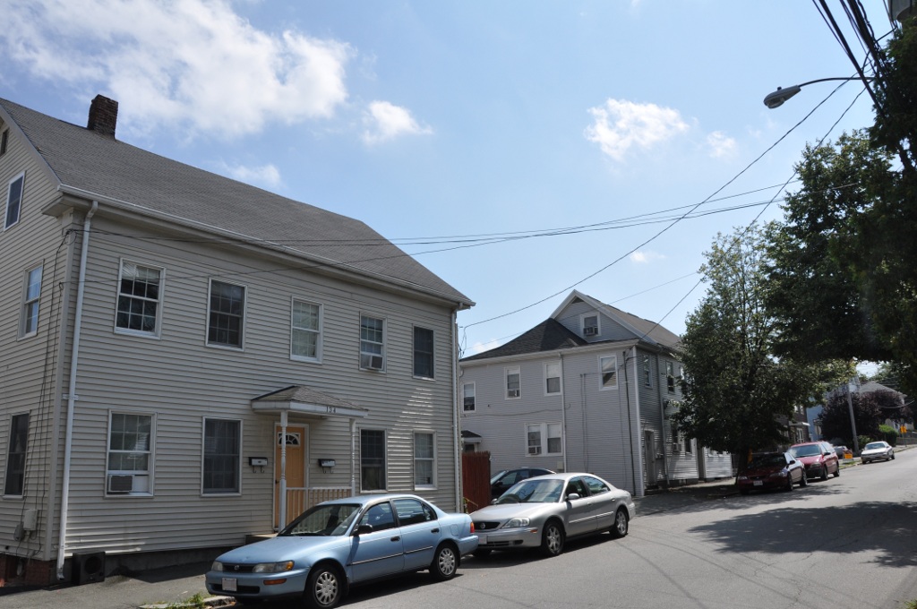
Landmark name Image Date listed Location Summary 1 American Waltham Watch Company Historic District 
September 28, 1989 185-241 Crescent St.
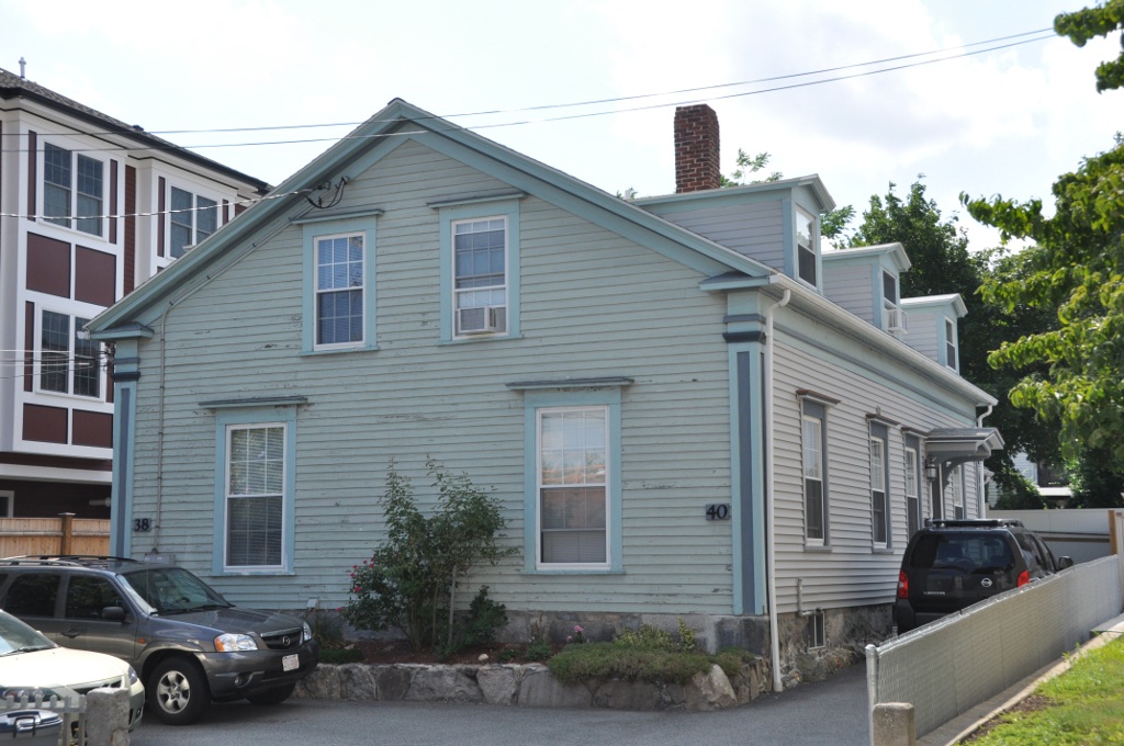
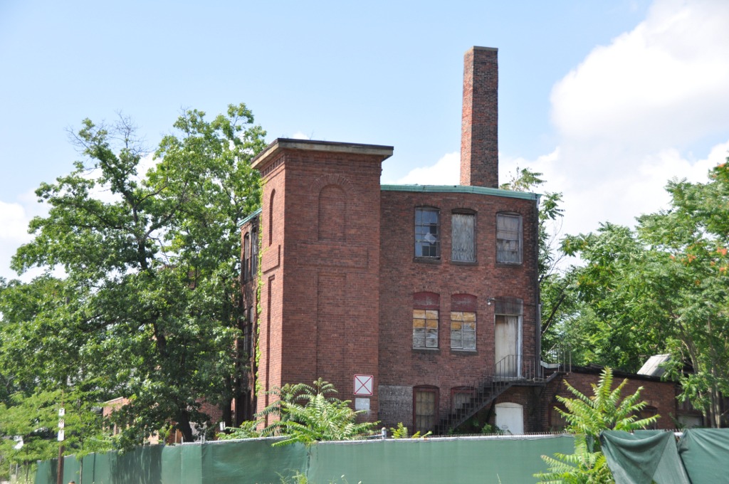
42°22′1″N 71°14′39″W / 42.36694°N 71.24417°W2 American Watch Tool Company 
September 28, 1989 169 Elm St.
42°22′18″N 71°13′56″W / 42.37167°N 71.23222°W3 Joseph Andrews House 
September 28, 1989 258 Linden St.
42°23′0″N 71°13′4″W / 42.383333°N 71.21778°W4 Charles Baker House 
September 28, 1989 107 Adams St.
42°22′2″N 71°14′28″W / 42.36722°N 71.24111°W5 Charles Baker Property 
September 28, 1989 119–121 Adams St.
42°22′0″N 71°14′29″W / 42.366667°N 71.24139°W6 E. Sybbill Banks House 
September 28, 1989 27 Appleton St.
42°22′33″N 71°13′57″W / 42.37583°N 71.2325°W7 Josiah Beard House 
September 28, 1989 70 School St.
42°22′40″N 71°14′5″W / 42.37778°N 71.23472°W8 Beth Eden Baptist Church 
September 28, 1989 82 Maple St.
42°22′4″N 71°14′20″W / 42.36778°N 71.23889°W9 Boston Manufacturing Company 
December 22, 1977 144 Moody St.
42°22′23″N 71°14′9″W / 42.37306°N 71.23583°W10 Boston Manufacturing Company Housing 
September 28, 1989 380–410 River St.
42°22′25″N 71°13′55″W / 42.37361°N 71.23194°W11 Boston Manufacturing Company Housing 
September 28, 1989 153–165 River St.
42°22′13″N 71°13′20″W / 42.37028°N 71.22222°W12 Brigham House 
September 28, 1989 235 Main St.
42°22′30″N 71°13′6″W / 42.375°N 71.21833°W13 Building at 202-204 Charles Street 
September 28, 1989 202–204 Charles St.
42°22′21″N 71°14′48″W / 42.3725°N 71.24667°W14 Francis Buttrick House 
September 28, 1989 44 Harvard St.
42°22′28″N 71°14′38″W / 42.37444°N 71.24389°W15 Francis Buttrick Library 
September 28, 1989 741 Main St.
42°22′35″N 71°14′23″W / 42.37639°N 71.23972°W16 Charles Byam House 
September 28, 1989 337 Crescent St.
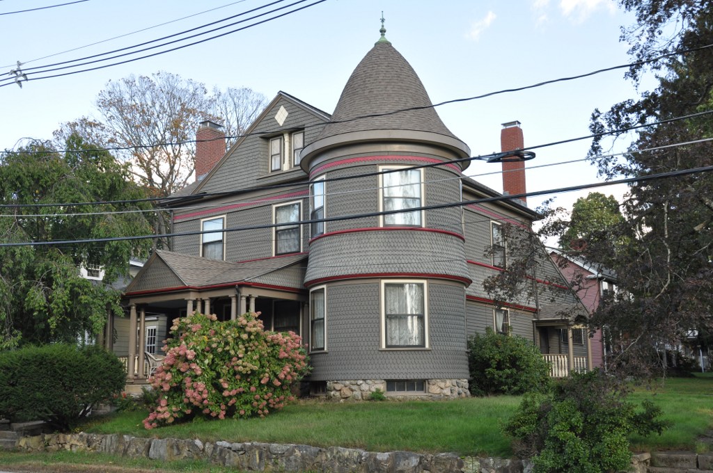
42°21′46″N 71°14′35″W / 42.36278°N 71.24306°W17 The Castle 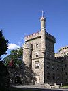
April 9, 1979 415 South St.
42°22′1″N 71°15′22″W / 42.36694°N 71.25611°WThis is on the campus of Brandeis University. 18 Central Square Historic District 
September 28, 1989 Roughly bounded by Church, Carter, Moody, Main and Lexington Sts.
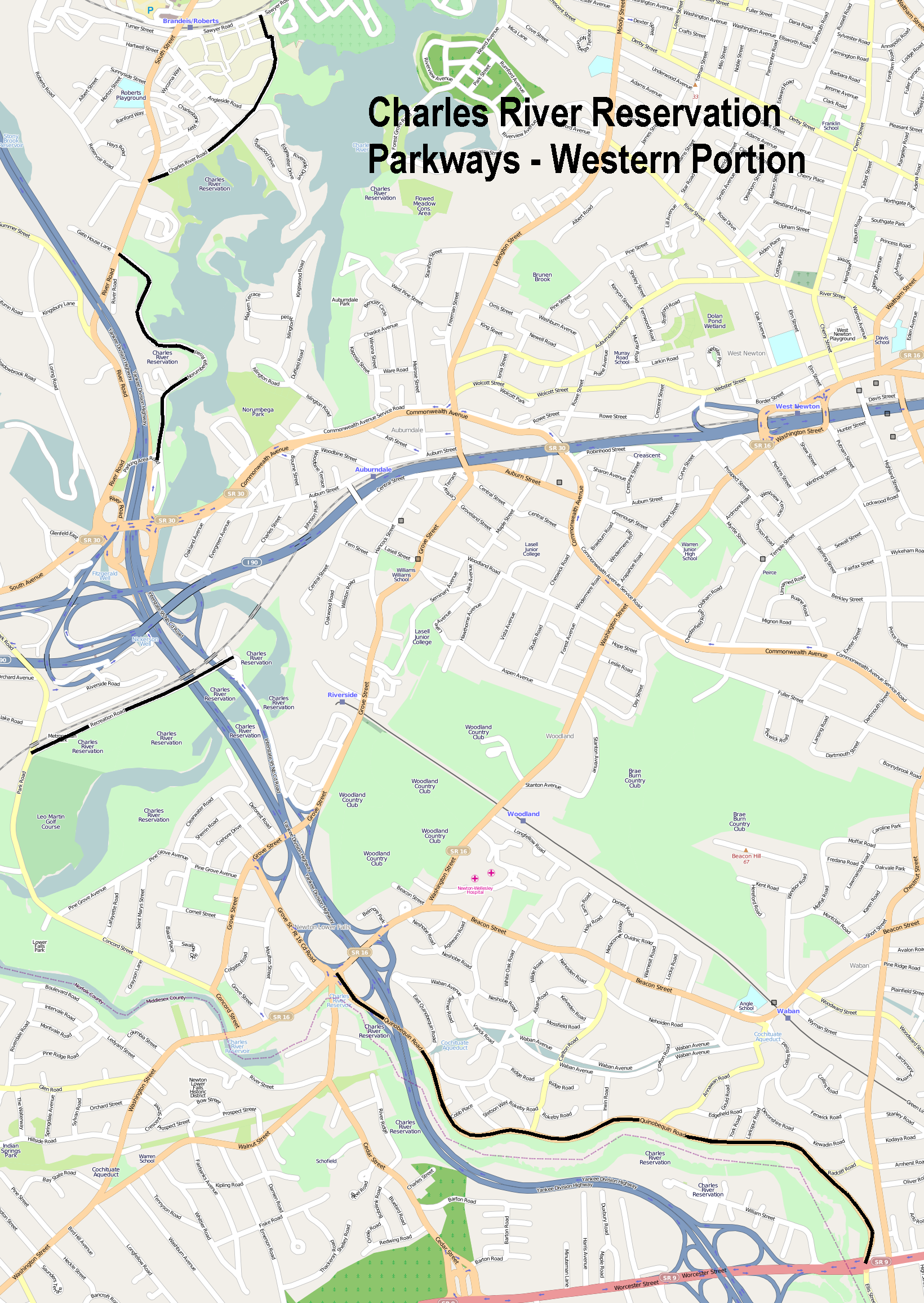
42°22′32″N 71°14′10″W / 42.37556°N 71.23611°W19 Charles River Reservation Parkways 
January 18, 2006 Soldiers Field, Nonantum, Leo Birmingham, Arsenal, Greenough, N. Beacon, Charles River, Norumbega, Recreation
42°21′42″N 71°9′31″W / 42.36167°N 71.15861°WExtends into Cambridge and Newton, Watertown and Weston, elsewhere in Middlesex County, and into Boston in Suffolk County 20 Charles Street Workers' Housing Historic District 
September 28, 1989 128–144 Charles St.
42°22′25″N 71°14′37″W / 42.37361°N 71.24361°W21 Christ Episcopal Church 
September 28, 1989 750 Main St.
42°22′32″N 71°14′27″W / 42.37556°N 71.24083°W22 Benjamin F. Clough House 
September 28, 1989 42–44 Prospect St.
42°22′21″N 71°14′49″W / 42.3725°N 71.24694°W23 Gilbert Colburn House 
September 28, 1989 110–112 Crescent St.
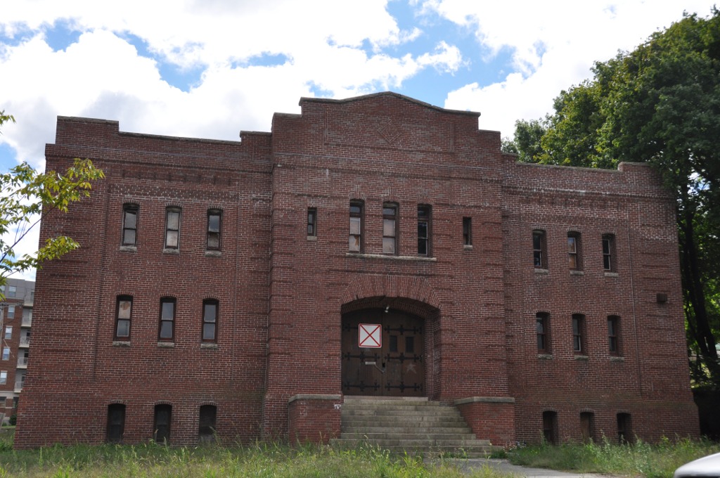
42°22′11″N 71°14′29″W / 42.36972°N 71.24139°W24 Company F State Armory 
September 28, 1989 Curtis and Sharon Sts.
42°22′10″N 71°14′53″W / 42.36944°N 71.24806°W25 Lenoir Dow House 
September 28, 1989 215 Adams St.
42°21′48″N 71°14′33″W / 42.36333°N 71.2425°W26 Dunbar-Stearns House 
March 9, 1990 209 Linden St.
42°22′54″N 71°13′6″W / 42.38167°N 71.21833°W27 East Main Street Historic District 
September 28, 1989 Roughly E. Main St. from Townsend St. to Chamberlain Ter.
42°22′37″N 71°13′39″W / 42.37694°N 71.2275°W28 Eastern Middlesex County Second District Court 
September 28, 1989 38 Linden St.
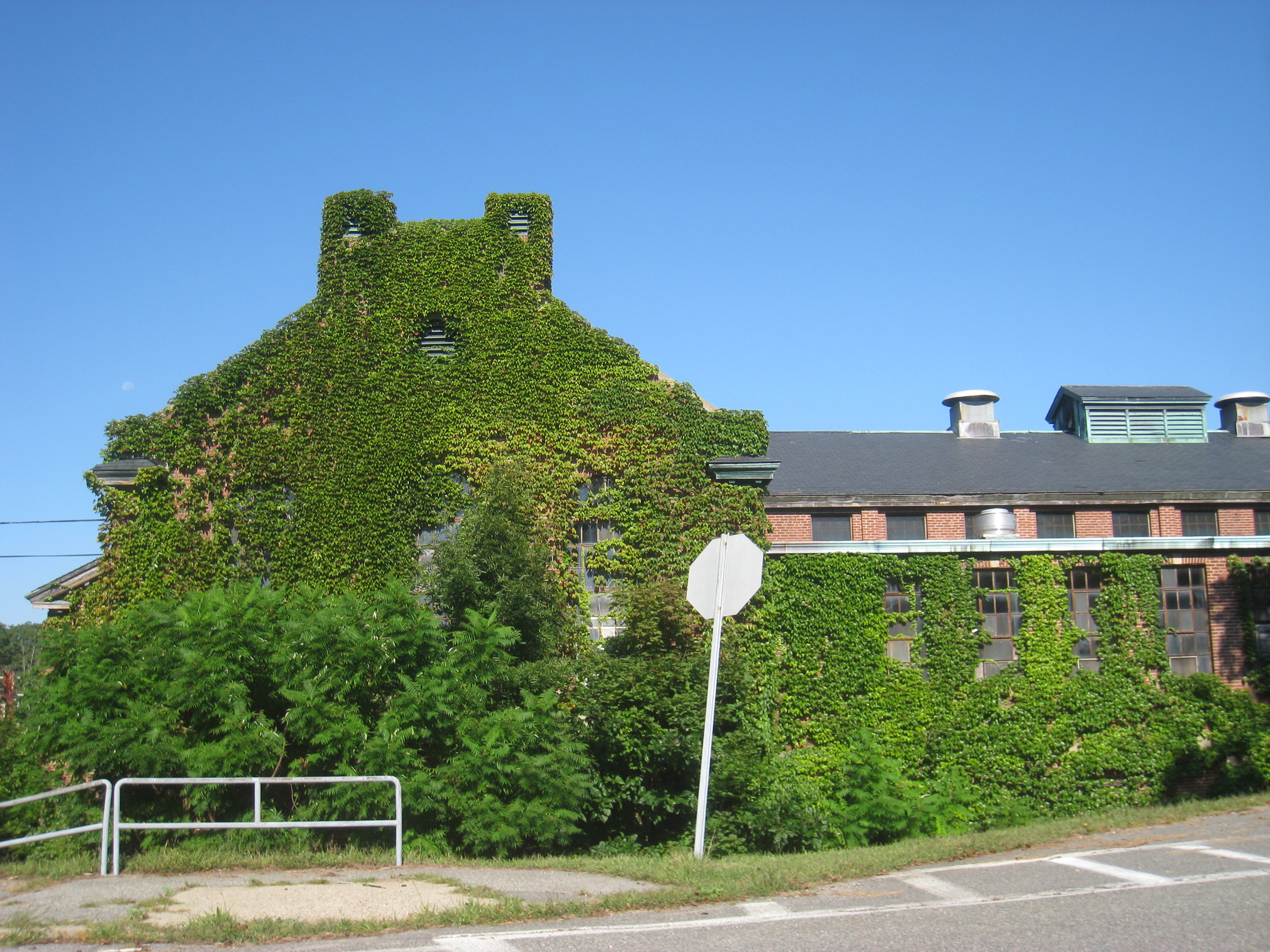
42°22′40″N 71°13′30″W / 42.37778°N 71.225°W29 Walter E. Fernald State School 
January 21, 1994 200 Trapelo Rd.
42°23′28″N 71°12′38″W / 42.39111°N 71.21056°W30 First Congregational Church 
September 28, 1989 730 Main St.
42°22′32″N 71°14′24″W / 42.37556°N 71.24°W31 First Parish Church 
September 28, 1989 87 School St.
42°22′42″N 71°14′7″W / 42.37833°N 71.23528°W32 Henry N. Fisher House 
September 28, 1989 120 Crescent St.
42°22′9″N 71°14′30″W / 42.36917°N 71.24167°W33 Elijah Fiske House 
September 28, 1989 457 Lincoln St.
42°24′10″N 71°14′55″W / 42.40278°N 71.24861°W34 Frederick Flagg House 
September 28, 1989 65 Fairmont Ave.
42°22′19″N 71°15′25″W / 42.37194°N 71.25694°W35 Daniel French School 
September 28, 1989 38–40 Common St.
42°22′39″N 71°14′15″W / 42.3775°N 71.2375°WNow a residential duplex. 36 Fuller-Bemis House 
March 9, 1990 41–43 Cherry St.
42°22′1″N 71°14′29″W / 42.36694°N 71.24139°W37 Gale-Banks House 
March 9, 1990 935 Main St.
42°22′33″N 71°14′58″W / 42.37583°N 71.24944°W38 William Gibbs House 
September 28, 1989 14 Liberty St.
42°22′37″N 71°14′1″W / 42.37694°N 71.23361°W39 Gilbrae Inn 
September 28, 1989 403 River St.
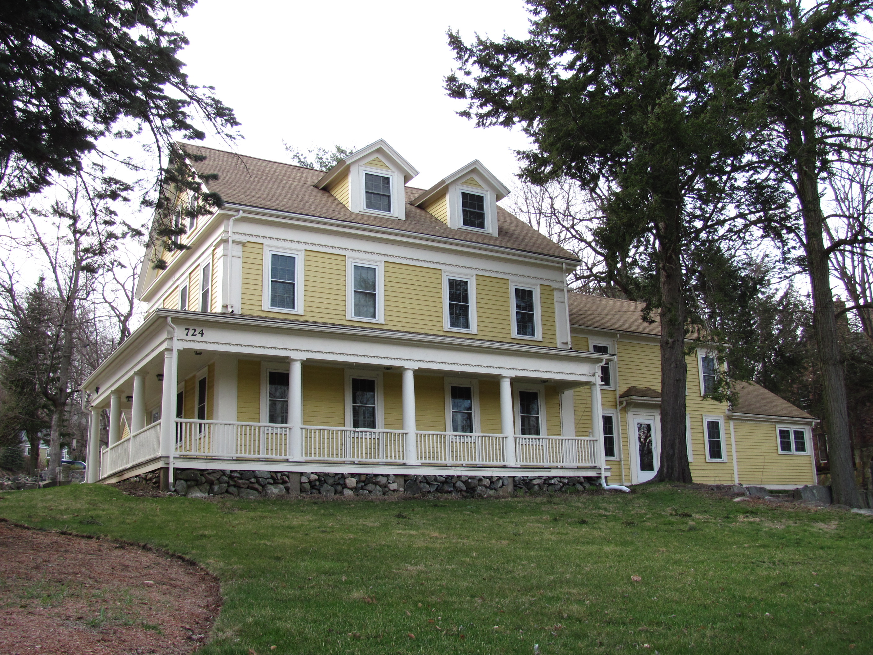
42°22′26″N 71°13′58″W / 42.37389°N 71.23278°W40 Gore Place 
December 30, 1970 52 Gore St.
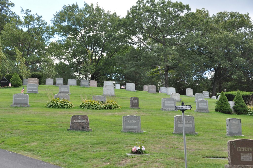
42°22′20″N 71°12′41″W / 42.37222°N 71.21139°W41 Grove Hill Cemetery 
September 28, 1989 290 Main St.
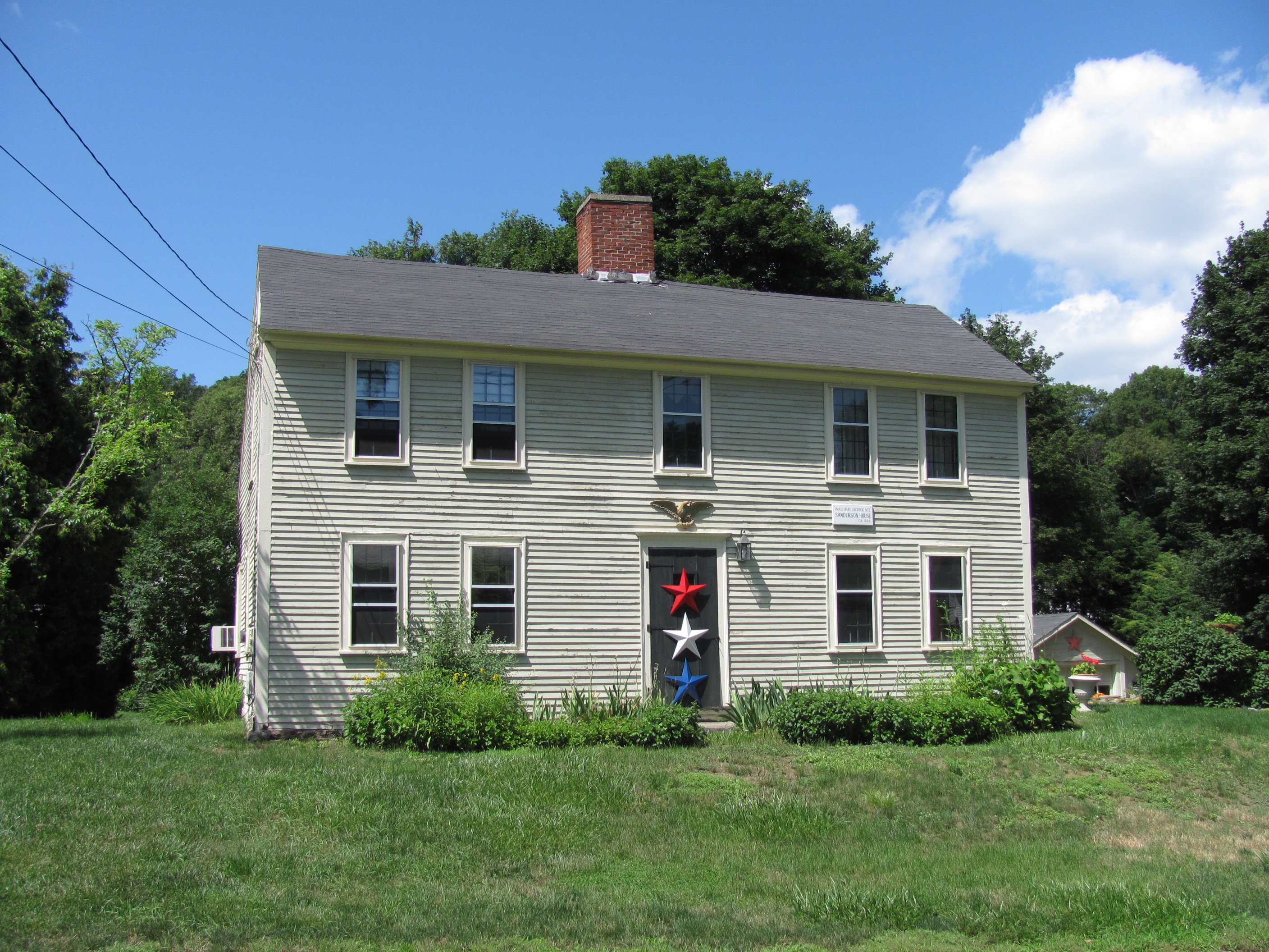
42°22′34″N 71°13′17″W / 42.37611°N 71.22139°W42 Hagar-Smith-Livermore-Sanderson House 
September 28, 1989 51 Sanders Ln.
42°23′19″N 71°14′43″W / 42.38861°N 71.24528°W43 Hager-Mead House 
September 28, 1989 411 Main St.
42°22′40″N 71°13′38″W / 42.37778°N 71.22722°W44 Henry C. Hall House 
September 28, 1989 107 Crescent St.
42°22′11″N 71°14′30″W / 42.36972°N 71.24167°W45 Ephraim Hammond House 
September 28, 1989 265 Beaver St.
42°23′10″N 71°12′51″W / 42.38611°N 71.21417°W46 Jonathan Hammond House 
September 28, 1989 311 Beaver St.
42°23′6″N 71°13′0″W / 42.385°N 71.216667°W47 Nahum Hardy House 
September 28, 1989 724 Lexington St.
42°23′59″N 71°14′5″W / 42.39972°N 71.23472°W48 Harrington Block 
September 28, 1989 376–390 Moody St.
42°22′10″N 71°14′15″W / 42.36944°N 71.2375°W49 Samuel Harrington House 
September 28, 1989 Old South St.
42°21′47″N 71°15′35″W / 42.36306°N 71.25972°W50 Rev. Thomas Hill House 
September 28, 1989 132 Church St.
42°22′49″N 71°13′57″W / 42.38028°N 71.2325°W51 Hobbs Brook Basin Gate House 
September 28, 1989 Off Winter St. at the mouth of Hobbs Brook
42°23′55″N 71°16′25″W / 42.39861°N 71.27361°W52 Richard Holbrook Houses 
September 28, 1989 29–31 Heard St.
42°22′34″N 71°13′51″W / 42.37611°N 71.23083°W53 Edwin C. Johnson House 
September 28, 1989 177 Weston St./8 Caldwell St.
42°22′27″N 71°15′26″W / 42.37417°N 71.25722°W54 Newell D. Johnson House 
September 28, 1989 428 Lexington St.
42°23′27″N 71°14′23″W / 42.39083°N 71.23972°W55 Phineas Lawrence House 
August 20, 1987 257 Trapelo Rd.
42°23′43″N 71°12′25″W / 42.39528°N 71.20694°W56 Lawton Place Historic District 
September 28, 1989 Lawton Pl. between Amory Rd. and Jackson St.
42°22′29″N 71°13′51″W / 42.37472°N 71.23083°W57 Nelson F. Libby House 
September 28, 1989 147–149 Weston St.
42°22′25″N 71°15′18″W / 42.37361°N 71.255°W58 Linden Street Bridge 
September 28, 1989 Boston & Maine railroad line over Linden St.
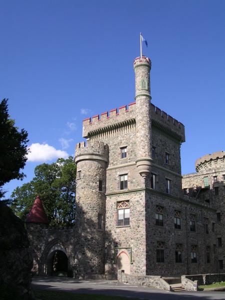
42°22′48″N 71°13′15″W / 42.38°N 71.22083°W59 Lord's Castle 
September 28, 1989 211 Hammond St.
42°23′1″N 71°14′50″W / 42.38361°N 71.24722°W60 Lyman Street Historic District 
September 28, 1989 Roughly Lyman St. from Church to Main Sts.
42°22′44″N 71°13′53″W / 42.37889°N 71.23139°W61 Aaron Martin House 
September 28, 1989 786 Moody St.
42°21′45″N 71°14′20″W / 42.3625°N 71.23889°W62 Aaron Martin Houses 
September 28, 1989 188–194 Adams St.
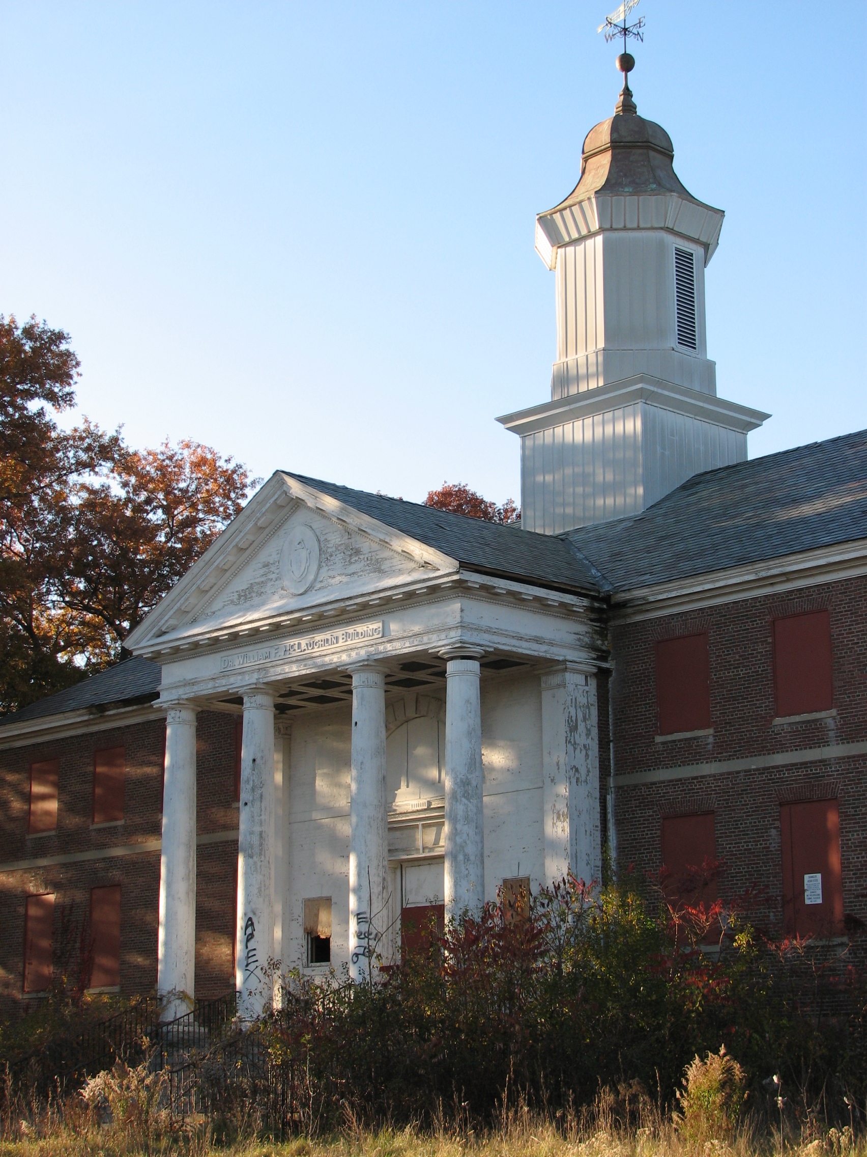
42°21′51″N 71°14′30″W / 42.36417°N 71.24167°W63 Metropolitan State Hospital 
January 21, 1994 475 Trapelo Rd.
42°24′14″N 71°12′40″W / 42.40389°N 71.21111°W64 Moody Street Fire Station 
September 28, 1989 533 Moody St.
42°22′2″N 71°14′18″W / 42.36722°N 71.23833°W65 Moody Street Historic District 
March 9, 1990 Moody and Crescent Sts.
42°22′18″N 71°14′16″W / 42.37167°N 71.23778°W66 Mount Feake Cemetery 
September 28, 1989 203 Prospect St.
42°21′52″N 71°14′58″W / 42.36444°N 71.24944°W67 Mt. Prospect School for Boys Demolished March 9, 1990 90 Worcester Ln.
42°23′23″N 71°14′39″W / 42.38972°N 71.24417°W68 Robert Murray House 
September 28, 1989 85 Crescent St.
42°22′13″N 71°14′27″W / 42.37028°N 71.24083°W69 Newton Street Bridge 
September 28, 1989 Newton St. at River St. over the Charles River
42°22′20″N 71°13′45″W / 42.37222°N 71.22917°W70 North Lexington Street Historic District 
September 28, 1989 508–536 N. Lexington St.
42°23′35″N 71°14′19″W / 42.39306°N 71.23861°W71 O'Hara Waltham Dial Company 
September 28, 1989 74 Rumford Ave.
42°22′6″N 71°14′38″W / 42.36833°N 71.24389°W72 John E. Olcott House 
September 28, 1989 35–37 Central St.
42°22′21″N 71°13′51″W / 42.3725°N 71.23083°W73 The Oxford 
September 28, 1989 4 Adams St.
42°22′16″N 71°14′21″W / 42.37111°N 71.23917°W74 Robert Treat Paine, Jr. House 
October 7, 1975 577 Beaver St.
42°23′19″N 71°13′50″W / 42.38861°N 71.23056°W75 John M. Peck House 
September 28, 1989 27 Liberty St.
42°22′40″N 71°14′0″W / 42.37778°N 71.233333°W76 Piety Corner Historic District 
March 9, 1990 Roughly Bacon and Lexington Sts.
42°23′20″N 71°14′19″W / 42.38889°N 71.23861°W77 Potter-O'Brian House Demolished September 28, 1989 206 Newton St.
42°22′12″N 71°13′48″W / 42.37°N 71.23°W78 Prospect House 
September 28, 1989 11 Hammond St.
42°22′36″N 71°14′46″W / 42.37667°N 71.24611°W79 Royal E. Robbins School 
September 28, 1989 58 Chestnut St.
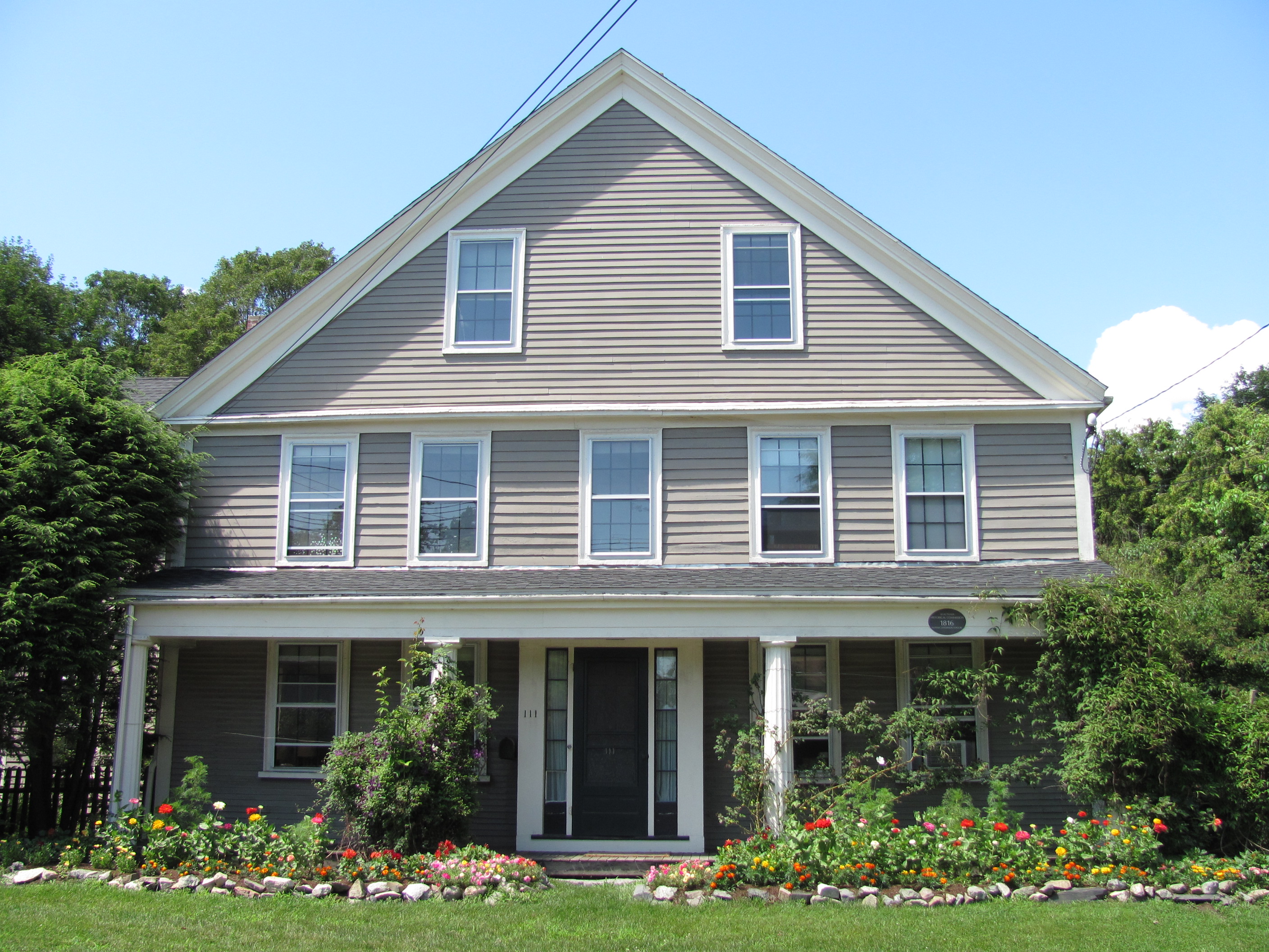
42°22′8″N 71°14′21″W / 42.36889°N 71.23917°W80 John Sanderson House 
September 28, 1989 564 Lexington St.
42°23′41″N 71°14′15″W / 42.39472°N 71.2375°W81 Nathan Sanderson I House 
September 28, 1989 107 Lincoln St.
42°23′37″N 71°14′35″W / 42.39361°N 71.24306°W82 Nathan Sanderson II House 
September 28, 1989 111 Lincoln St.
42°23′36″N 71°14′36″W / 42.39333°N 71.24333°W83 Sanderson-Clark Farmhouse 
September 28, 1989 75 Lincoln St.
42°23′36″N 71°14′29″W / 42.39333°N 71.24139°W84 Marshall Smith House 
September 28, 1989 26 Liberty St.
42°22′40″N 71°14′1″W / 42.37778°N 71.23361°W85 Perez Smith House 
September 28, 1989 46 Lincoln St.
42°23′31″N 71°14′27″W / 42.39194°N 71.24083°W86 St. Charles Borromeo Church 
September 28, 1989 Hall and Cushing Sts.
42°22′8″N 71°14′10″W / 42.36889°N 71.23611°W87 St. Mary's Roman Catholic Church Complex 
September 28, 1989 133 School St.
42°22′44″N 71°14′14″W / 42.37889°N 71.23722°W88 Leonard W. Stanley House 
September 28, 1989 23–25 Taylor St.
42°22′11″N 71°14′12″W / 42.36972°N 71.23667°W89 Stark Building 
September 28, 1989 416–424 Moody St.
42°22′8″N 71°14′15″W / 42.36889°N 71.2375°W90 Robert M. Stark House 
September 28, 1989 176 Main St.
42°22′34″N 71°12′59″W / 42.37611°N 71.21639°W91 Amos Stearns House 
September 28, 1989 1081 Trapelo Rd.
42°24′42″N 71°14′12″W / 42.41167°N 71.23667°W92 Henry Stewart House 
September 28, 1989 294 Linden St.
42°23′5″N 71°13′2″W / 42.38472°N 71.21722°W93 James Swasey House 
September 28, 1989 30 Common St.
42°22′38″N 71°14′15″W / 42.37722°N 71.2375°WProbably demolished 94 Frank J. Tyler House 
September 28, 1989 238 Linden St.
42°22′59″N 71°13′6″W / 42.38306°N 71.21833°W95 United States Watch Company 
September 28, 1989 256 Charles St.
42°22′21″N 71°14′57″W / 42.3725°N 71.24917°W96 US Post Office-Waltham Main 
May 30, 1986 774 Main St.
42°22′33″N 71°14′31″W / 42.37583°N 71.24194°W97 The Vale 
December 30, 1970 Lyman and Beaver Sts.
42°23′1″N 71°13′44″W / 42.38361°N 71.22889°W98 Waltham Gas and Electric Company Generating Plant 
September 28, 1989 96 Pine St.
42°22′15″N 71°14′0″W / 42.37083°N 71.233333°W99 Waltham Gas Light Company Demolished September 28, 1989 2 Cooper St.
42°22′19″N 71°14′1″W / 42.37194°N 71.23361°W100 Waltham High School 
September 28, 1989 55 School St.
42°22′44″N 71°14′3″W / 42.37889°N 71.23417°W101 Waltham Water Works Shop 
September 28, 1989 92 Felton St.
42°22′24″N 71°14′28″W / 42.37333°N 71.24111°W102 Nathan Warren House Demolished March 9, 1990 50 Weston St.
42°22′27″N 71°15′12″W / 42.37417°N 71.25333°W103 Benjamin Wellington House 
September 28, 1989 56 Whittier St.
42°24′48″N 71°14′31″W / 42.41333°N 71.24194°W104 William Wellington House 
September 28, 1989 785 Trapelo Rd.
42°24′24″N 71°13′13″W / 42.40667°N 71.22028°W105 Wellington-Castner House 
September 28, 1989 685 Trapelo Rd.
42°24′22″N 71°13′11″W / 42.40611°N 71.21972°W106 Wetherbee House 
September 28, 1989 357 Crescent St.
42°21′43″N 71°14′32″W / 42.36194°N 71.24222°W107 Warren White House 
September 28, 1989 192 Warren St.
42°22′45″N 71°12′23″W / 42.37917°N 71.20639°W108 Whitney-Farrington-Cook House 
September 28, 1989 385 Trapelo Rd.
42°23′54″N 71°12′40″W / 42.39833°N 71.21111°W109 Wilson's Diner 
September 22, 1999 507 Main St.
42°23′10″N 71°13′53″W / 42.38611°N 71.23139°WReferences
- ^ The latitude and longitude information provided in this table was derived originally from the National Register Information System, which has been found to be fairly accurate for about 99% of listings. For about 1% of NRIS original coordinates, experience has shown that one or both coordinates are typos or otherwise extremely far off; some corrections may have been made. A more subtle problem causes many locations to be off by up to 150 yards, depending on location in the country: most NRIS coordinates were derived from tracing out latitude and longitudes off of USGS topographical quadrant maps created under North American Datum of 1927, which differs from the current, highly accurate GPS system used by Google maps. Chicago is about right, but NRIS longitudes in Washington are higher by about 4.5 seconds, and are lower by about 2.0 seconds in Maine. Latitudes differ by about 1.0 second in Florida. Some locations in this table may have been corrected to current GPS standards.
- ^ "National Register of Historic Places: Weekly List Actions". National Park Service, United States Department of the Interior. Retrieved on November 4, 2011.
U.S. National Register of Historic Places Topics Lists by states Alabama • Alaska • Arizona • Arkansas • California • Colorado • Connecticut • Delaware • Florida • Georgia • Hawaii • Idaho • Illinois • Indiana • Iowa • Kansas • Kentucky • Louisiana • Maine • Maryland • Massachusetts • Michigan • Minnesota • Mississippi • Missouri • Montana • Nebraska • Nevada • New Hampshire • New Jersey • New Mexico • New York • North Carolina • North Dakota • Ohio • Oklahoma • Oregon • Pennsylvania • Rhode Island • South Carolina • South Dakota • Tennessee • Texas • Utah • Vermont • Virginia • Washington • West Virginia • Wisconsin • WyomingLists by territories Lists by associated states Other  Category:National Register of Historic Places •
  Portal:National Register of Historic PlacesCategories:
- Waltham, Massachusetts
- Lists of National Register of Historic Places listings in Massachusetts by populated place
-


Wikimedia Foundation. 2010.