| [2] |
Landmark name[3] |
Image |
Date listed |
Location |
Summary |
| 1 |
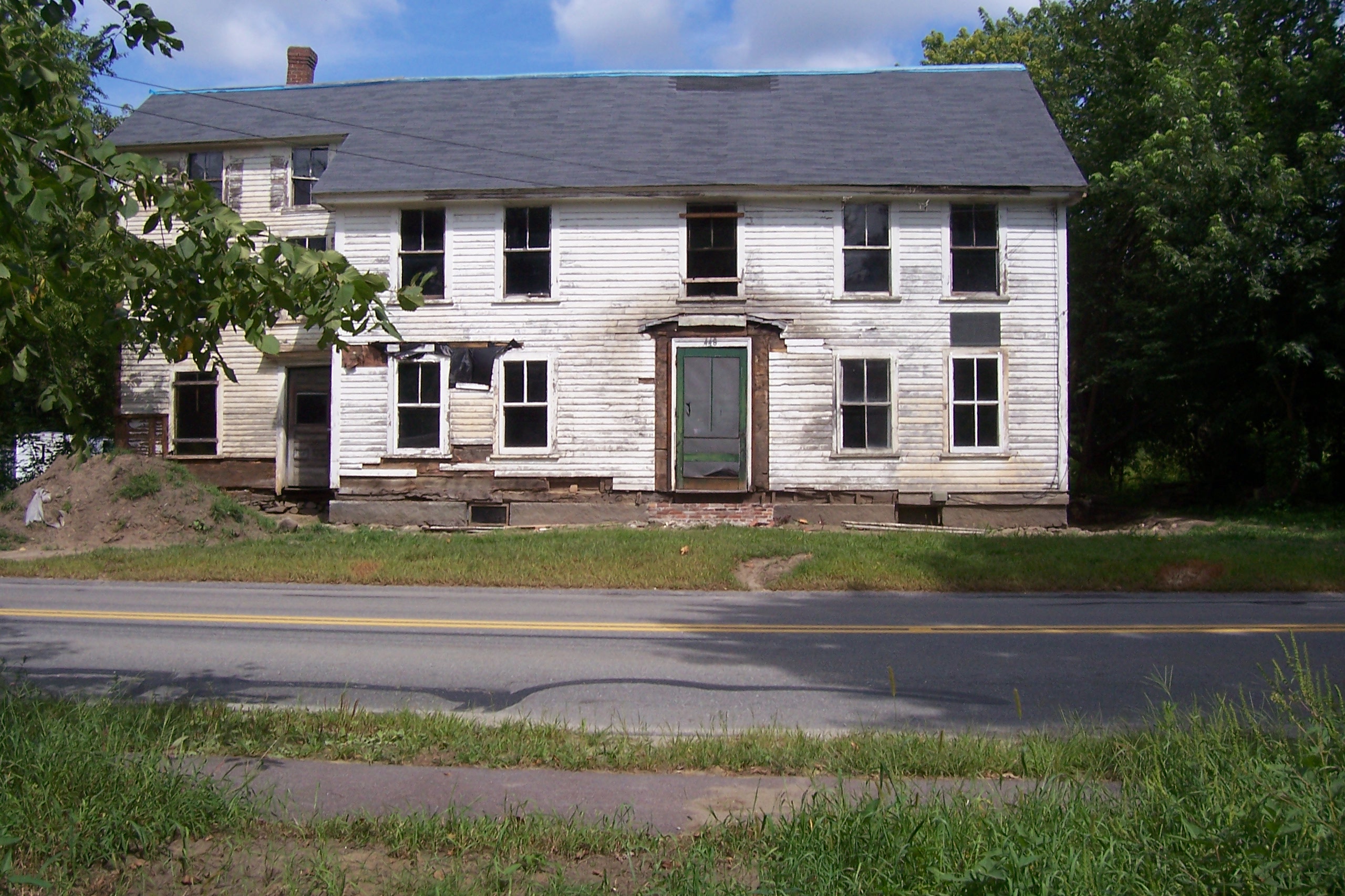
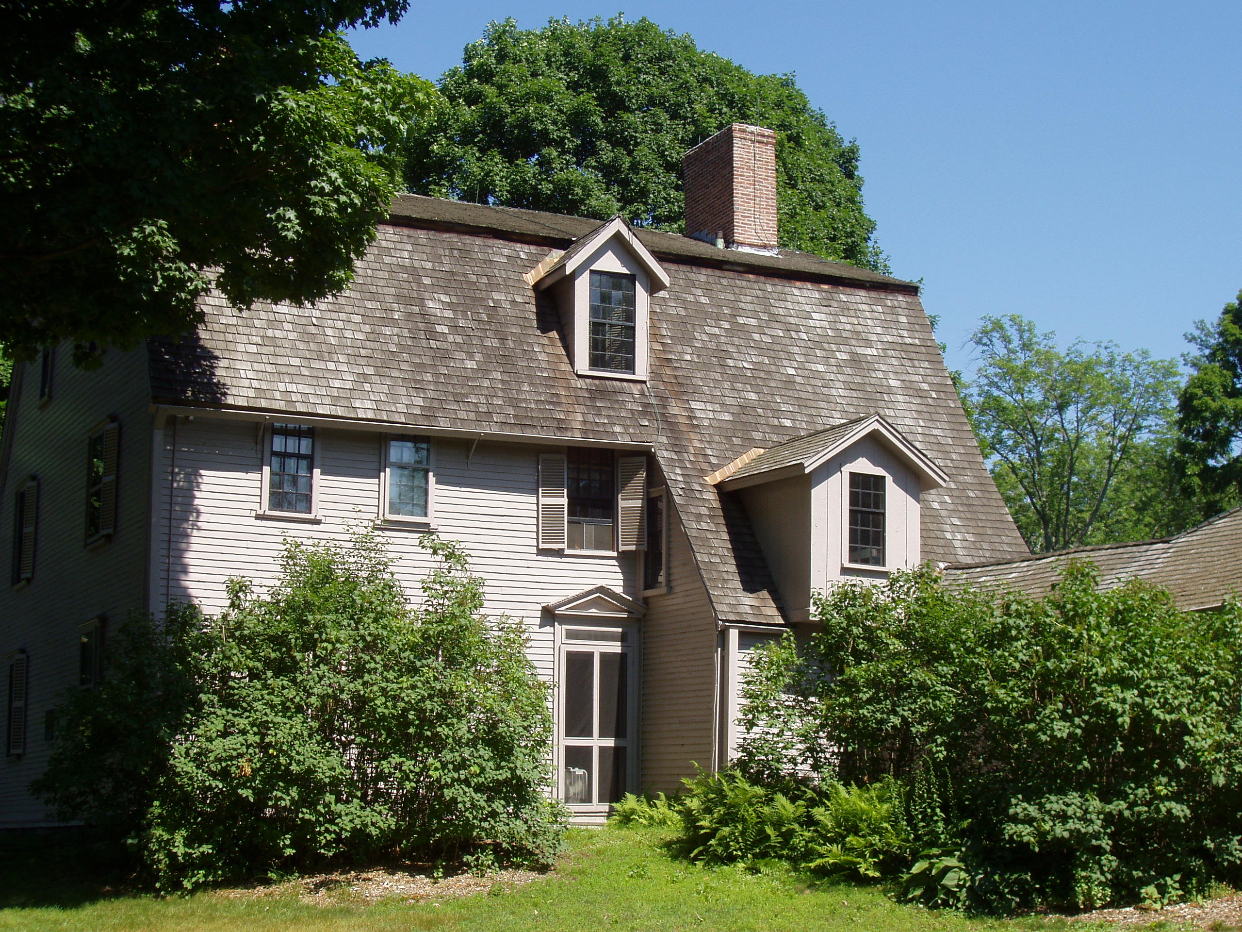
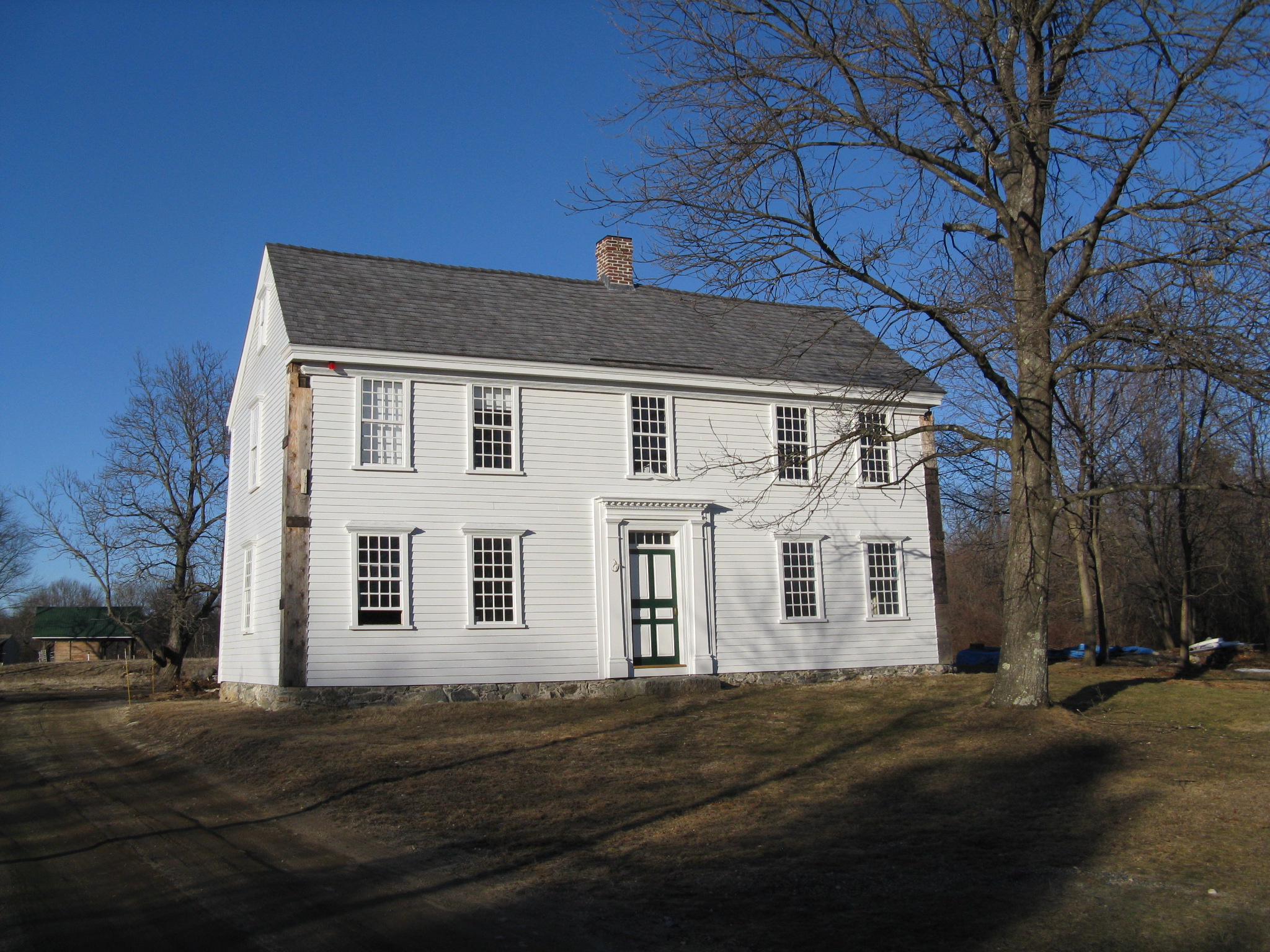
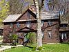
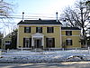
Col. James Barrett Farm |
 |
01973-11-15 November 15, 1973 |
448 Barrett's Mill Rd.
42°28′55″N 71°22′54″W / 42.48194°N 71.38167°W / 42.48194; -71.38167 (Barrett, Col. James, Farm) |
|
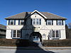
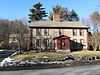
| 2 |
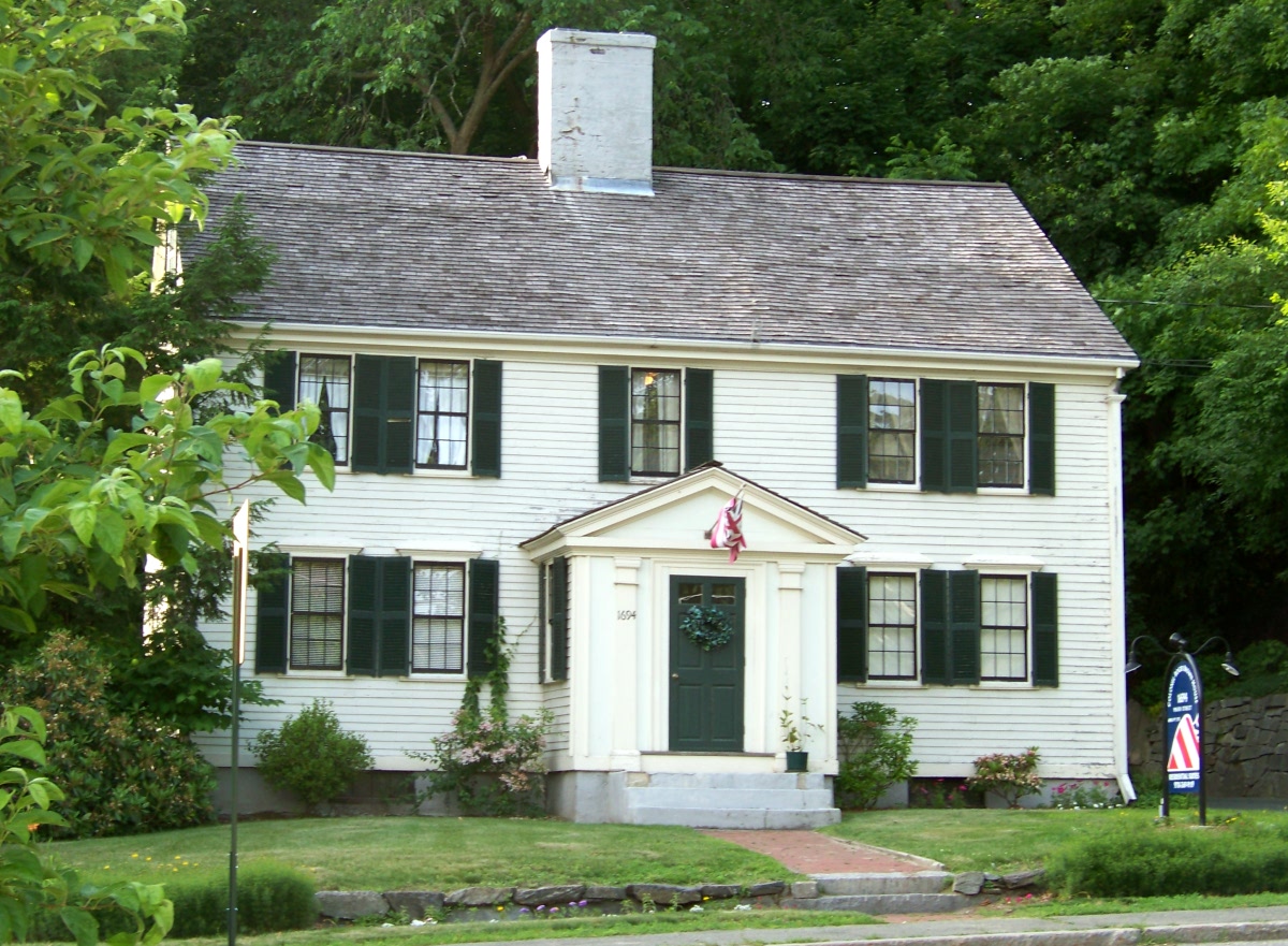
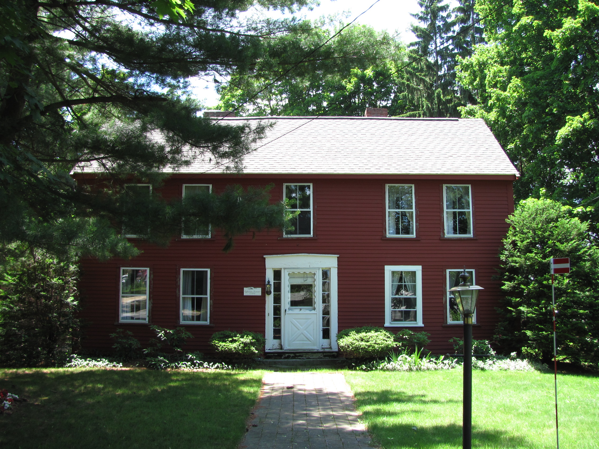
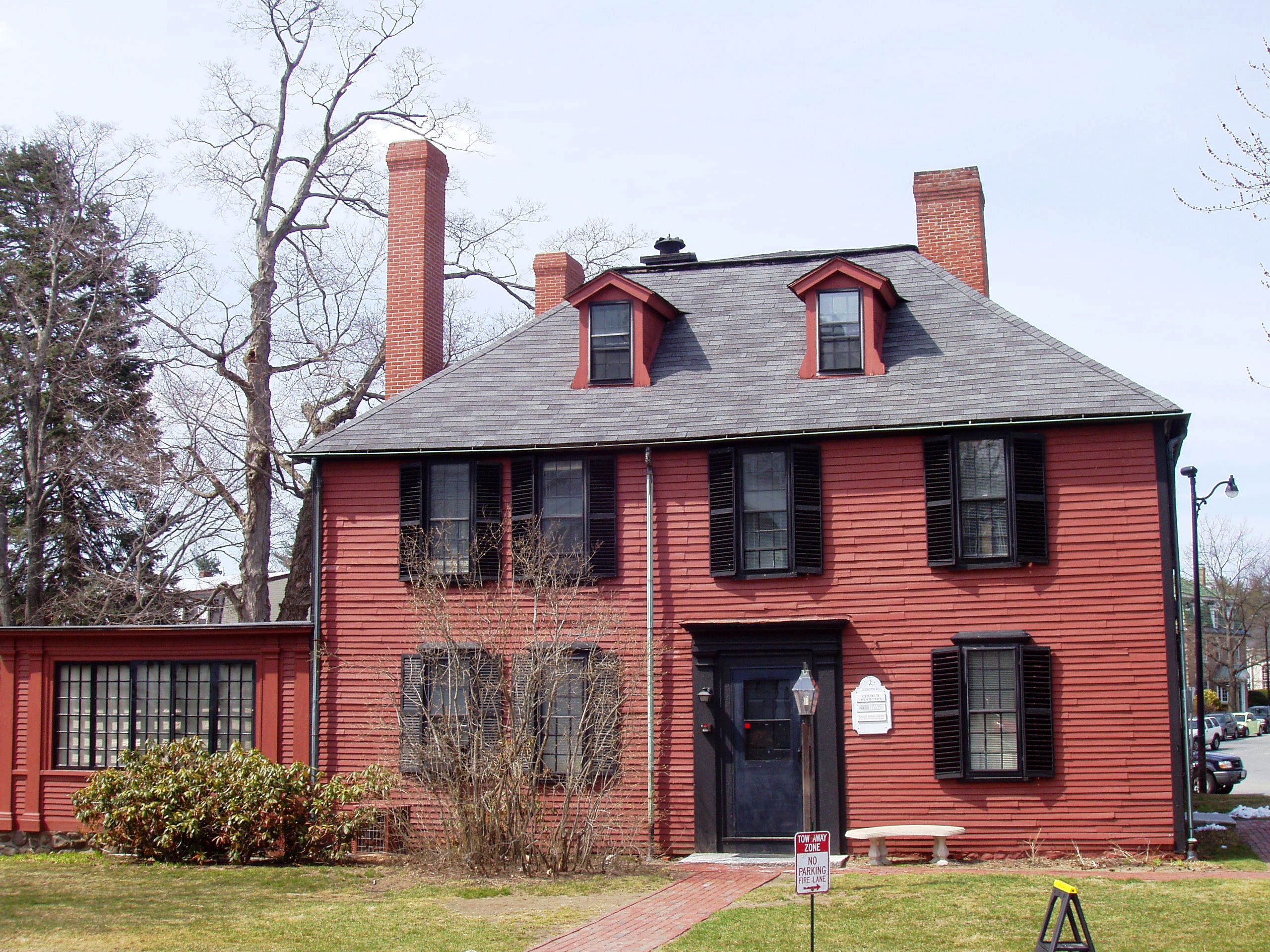
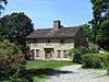
Colonel Roger Brown House |
 |
01983-01-27 January 27, 1983 |
1694 Main St.
42°27′11″N 71°24′33″W / 42.45306°N 71.40917°W / 42.45306; -71.40917 (Brown, Col. Roger, House) |
|
| 3 |
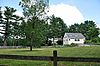
Concord Armory |
 |
02007-09-12 September 12, 2007 |
51 Walden St.
42°27′32″N 71°20′58″W / 42.45889°N 71.34944°W / 42.45889; -71.34944 (Concord Armory) |
|
| 4 |
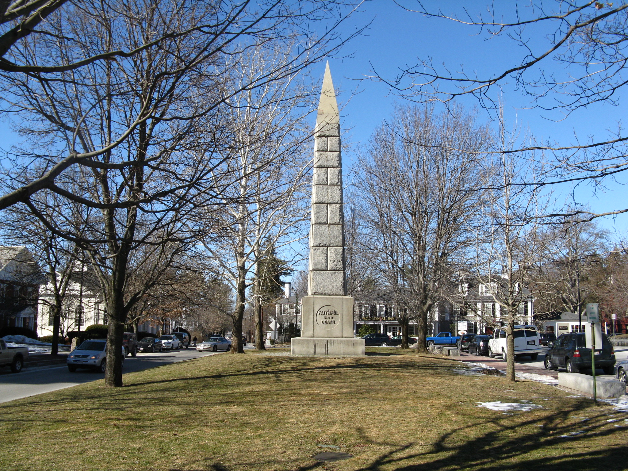
Concord Monument Square-Lexington Road Historic District |
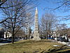 |
01977-09-13 September 13, 1977 |
MA 2A
42°27′34″N 71°20′51″W / 42.45944°N 71.3475°W / 42.45944; -71.3475 (Concord Monument Square-Lexington Road Historic District) |
|
| 5 |
Dr. John Cuming House |
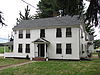 |
01977-11-11 November 11, 1977 |
West of Concord at Barretts Mill Rd. and Reformatory Circle
42°28′2.5″N 71°23′46.6″W / 42.467361°N 71.396278°W / 42.467361; -71.396278 (Cuming, Dr. John, House) |
At 998 Elm Street |
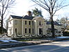
| 6 |
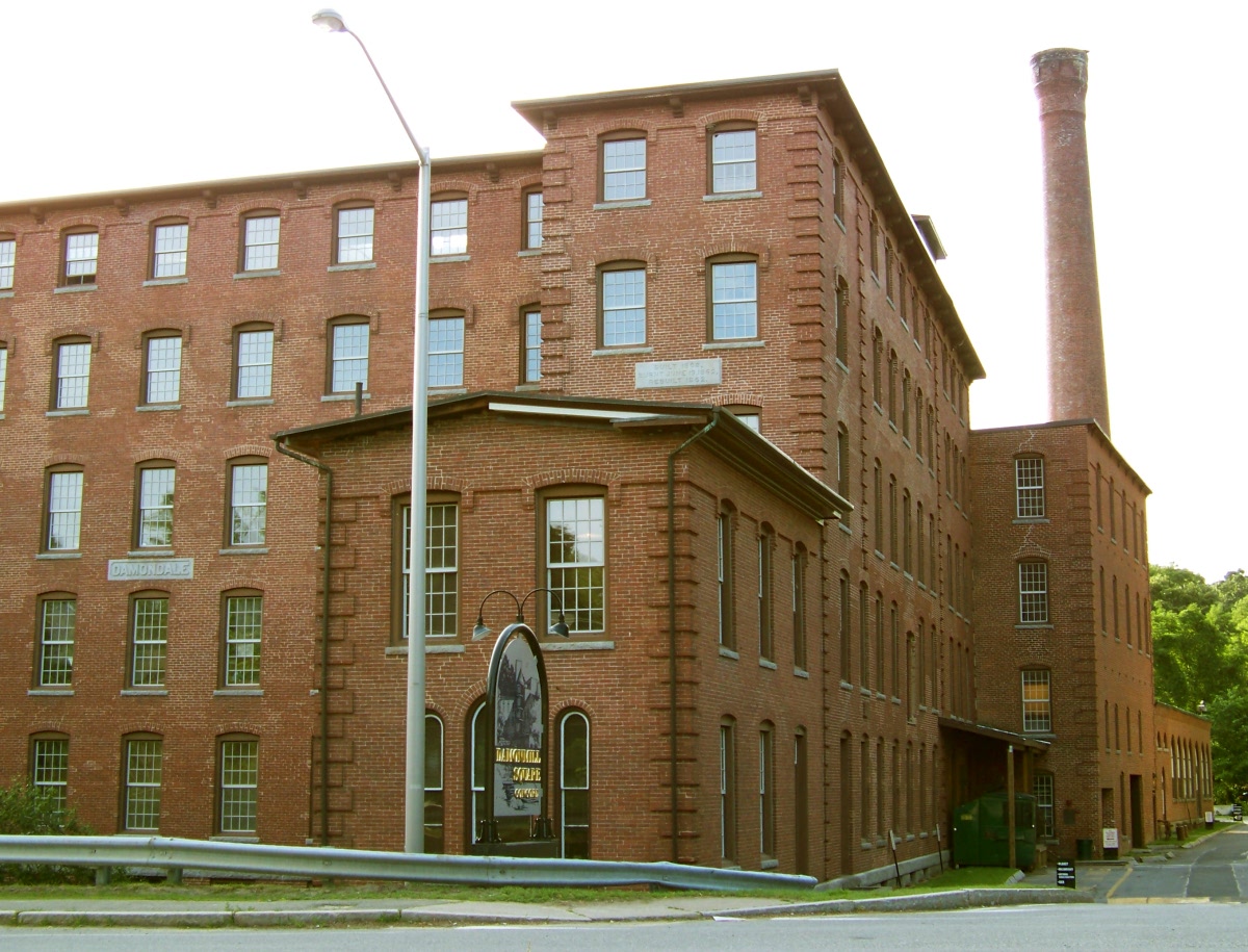
Damon Mill |
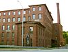 |
01979-05-25 May 25, 1979 |
9 Pond Lane
42°27′12″N 71°24′35″W / 42.45333°N 71.40972°W / 42.45333; -71.40972 (Damon Mill) |
|
| 7 |
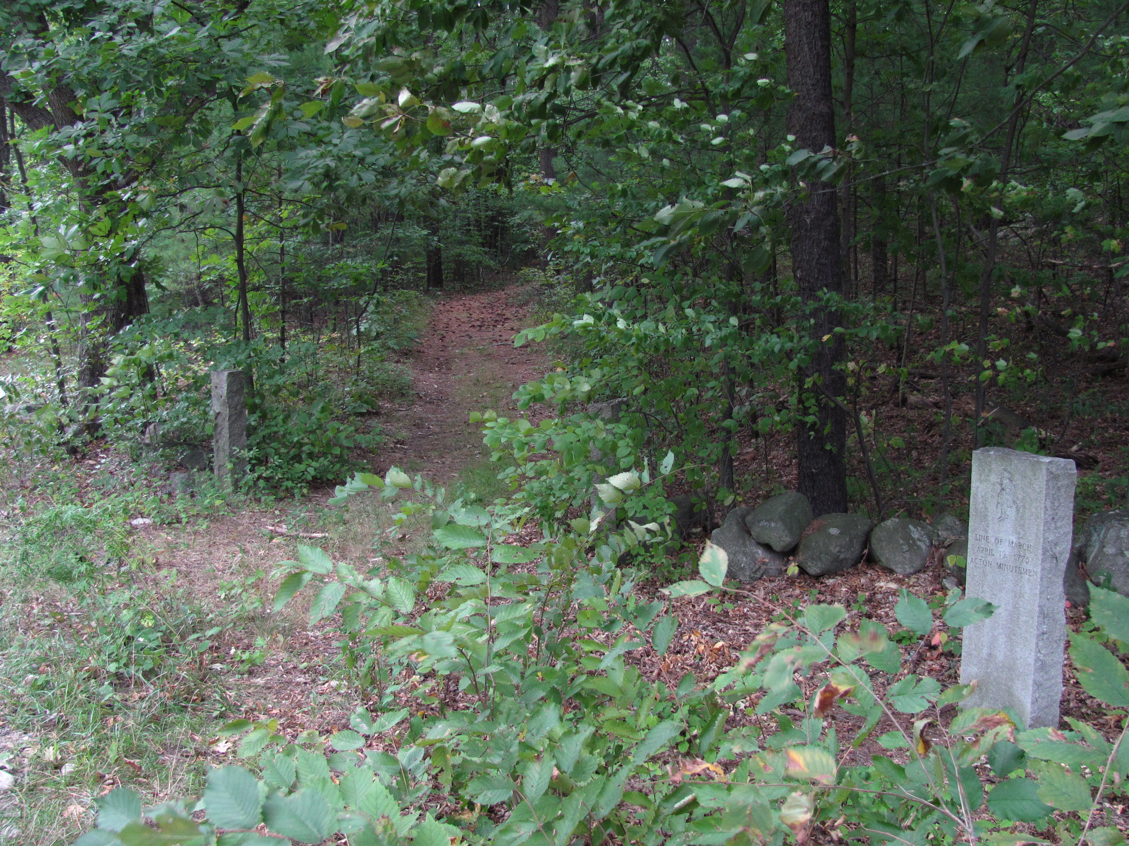
Isaac Davis Trail |
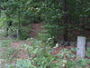 |
01972-04-11 April 11, 1972 |
Running east-west between the towns of Acton and Concord
42°28′48″N 71°23′57″W / 42.48°N 71.39917°W / 42.48; -71.39917 (Davis, Isaac, Trail) |
|
| 8 |
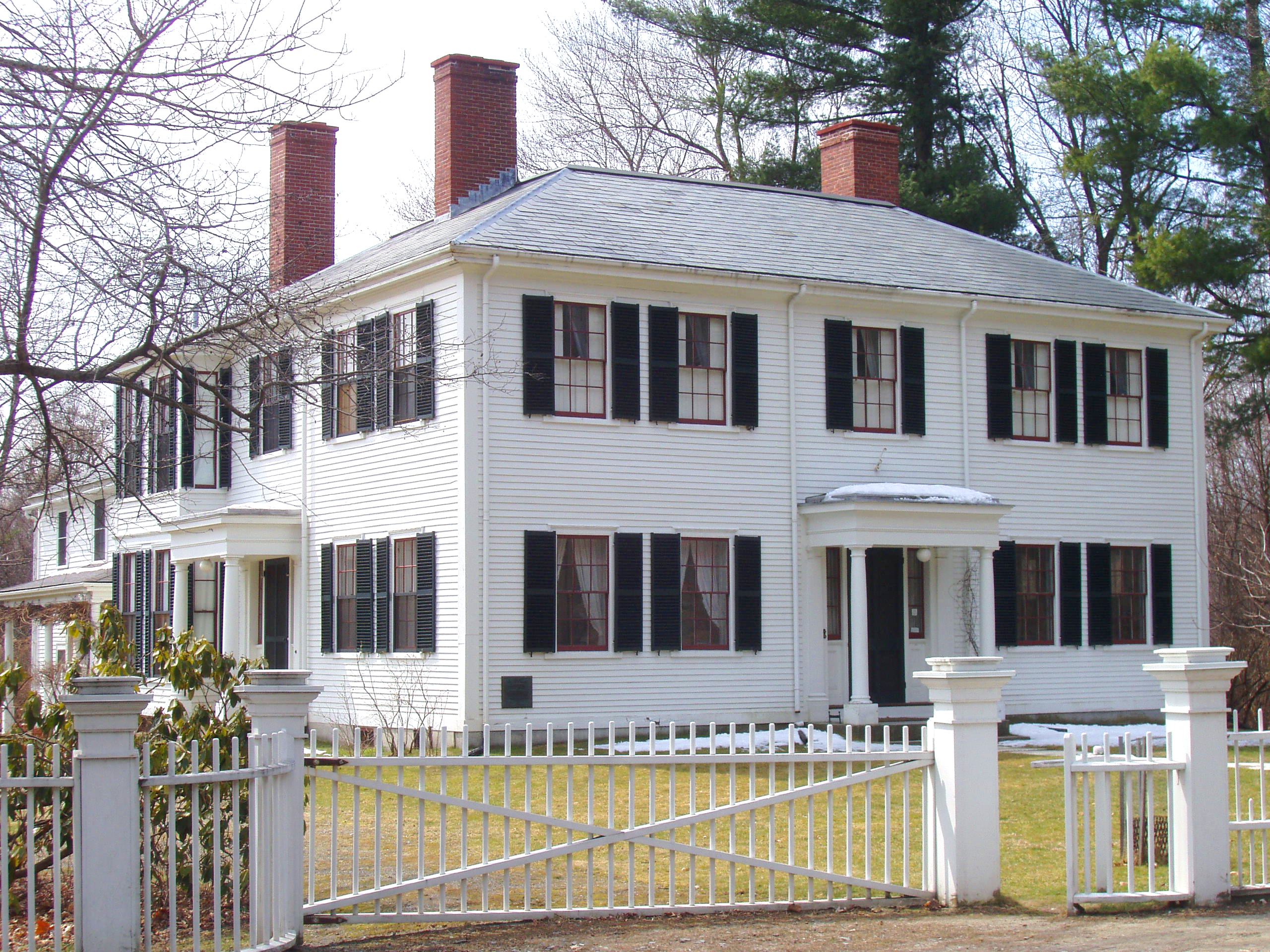
Ralph Waldo Emerson House |
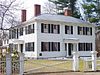 |
01966-10-15 October 15, 1966 |
Lexington Rd. and Cambridge Tpke.
42°27′27″N 71°20′39″W / 42.4575°N 71.34417°W / 42.4575; -71.34417 (Emerson, Ralph Waldo, House) |
National Historic Landmark |
| 9 |
Jonathan Hildreth House |
 |
01991-04-03 April 3, 1991 |
8 Barrett's Mill Rd.
42°28′27″N 71°21′56″W / 42.47417°N 71.36556°W / 42.47417; -71.36556 (Hildreth, Jonathan, House) |
|
| 10 |
Hosmer Homestead |
 |
01999-06-03 June 3, 1999 |
138 Baker Ave.
42°27′41″N 71°23′5″W / 42.46139°N 71.38472°W / 42.46139; -71.38472 (Hosmer Homestead) |
|
| 11 |
Joseph Hosmer House |
 |
01990-03-09 March 9, 1990 |
572 Main St.
42°27′26″N 71°22′13″W / 42.45722°N 71.37028°W / 42.45722; -71.37028 (Hosmer, Joseph, House) |
|
| 12 |
Hubbard-French District |
 |
02000-06-15 June 15, 2000 |
324 and 342 Sudbury Rd.
42°27′5″N 71°21′35″W / 42.45139°N 71.35972°W / 42.45139; -71.35972 (Hubbard--French District) |
|
| 13 |
Minute Man National Historical Park |
 |
01966-10-15 October 15, 1966 |
From Concord to Lexington on MA 2A |
Boundary increase (added 2002-11-29): Lexington, MA |
| 14 |
Old Manse |
 |
01966-10-15 October 15, 1966 |
Monument St.
42°28′6″N 71°20′58″W / 42.46833°N 71.34944°W / 42.46833; -71.34944 (Old Manse) |
National Historic Landmark |
| 15 |
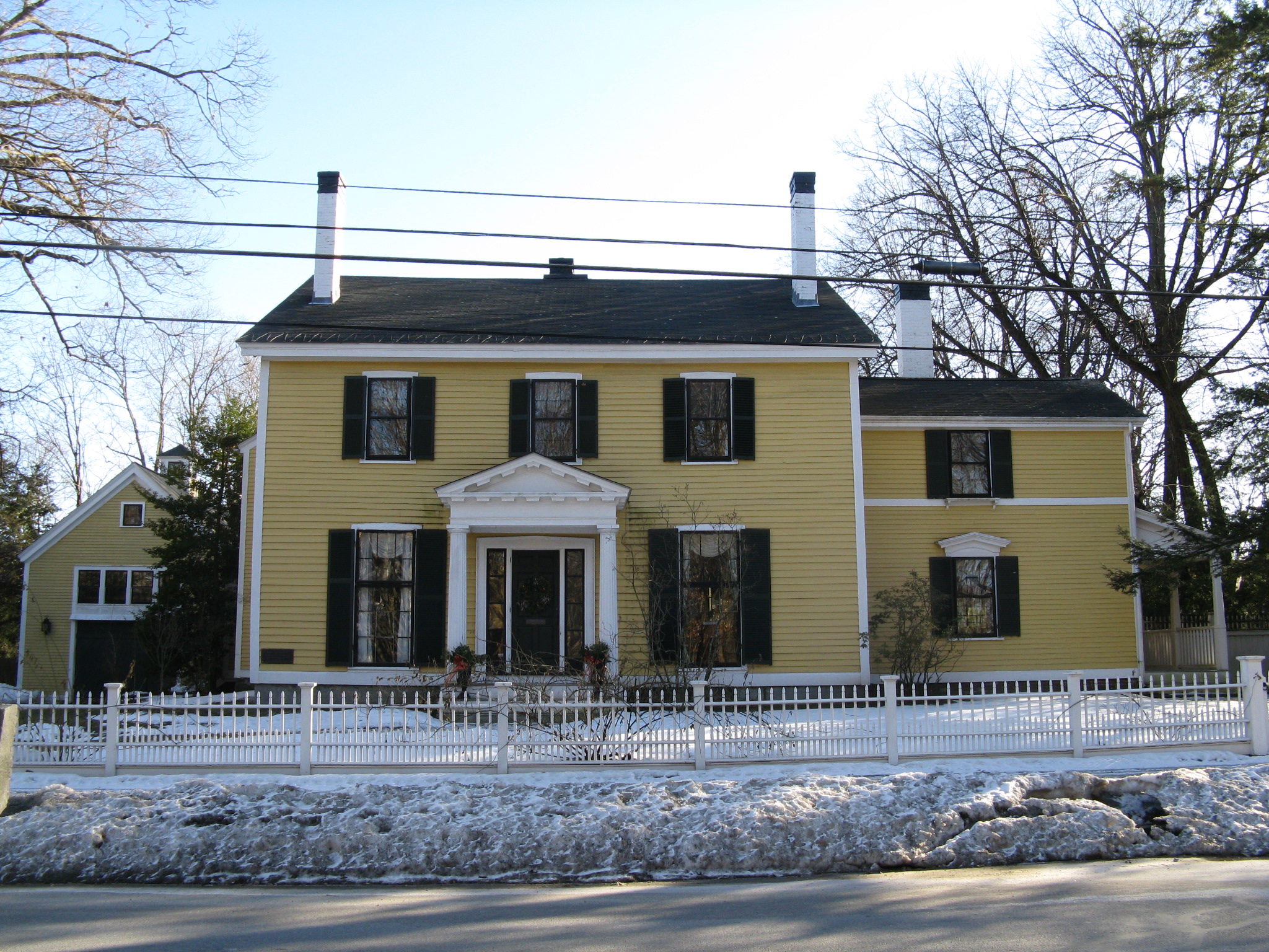
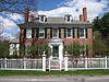
Orchard House |
 |
01966-10-15 October 15, 1966 |
Lexington Rd.
42°27′32″N 71°20′8″W / 42.45889°N 71.33556°W / 42.45889; -71.33556 (Orchard House) |
National Historic Landmark |
| 16 |
Parkman Tavern |
 |
01979-06-19 June 19, 1979 |
South of Concord at 20 Powder Mill Rd.
42°25′46″N 71°22′36″W / 42.42944°N 71.37667°W / 42.42944; -71.37667 (Parkman Tavern) |
|
| 17 |
Pest House |
 |
01977-04-18 April 18, 1977 |
153 Fairhaven Rd.
42°26′51″N 71°21′38″W / 42.4475°N 71.36056°W / 42.4475; -71.36056 (Pest House) |
|
| 18 |
Thomas Mott Shaw Estate |
 |
01987-11-20 November 20, 1987 |
317 Garfield Rd.
42°25′42″N 71°21′49″W / 42.42833°N 71.36361°W / 42.42833; -71.36361 (Shaw, Thomas Mott, Estate) |
|
| 19 |
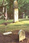
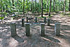
Sleepy Hollow Cemetery |
 |
01998-08-19 August 19, 1998 |
24 Court Ln.
42°27′52″N 71°20′42″W / 42.46444°N 71.345°W / 42.46444; -71.345 (Sleepy Hollow Cemetery) |
|
| 20 |
Thoreau-Alcott House |
 |
01976-07-12 July 12, 1976 |
255 Main St.
42°27′30″N 71°21′30″W / 42.45833°N 71.35833°W / 42.45833; -71.35833 (Thoreau-Alcott House) |
|
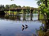
| 21 |
Union Station |
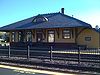 |
01989-03-02 March 2, 1989 |
20 Commonwealth Ave.
42°27′24″N 71°23′40″W / 42.45667°N 71.39444°W / 42.45667; -71.39444 (Union Station) |
|
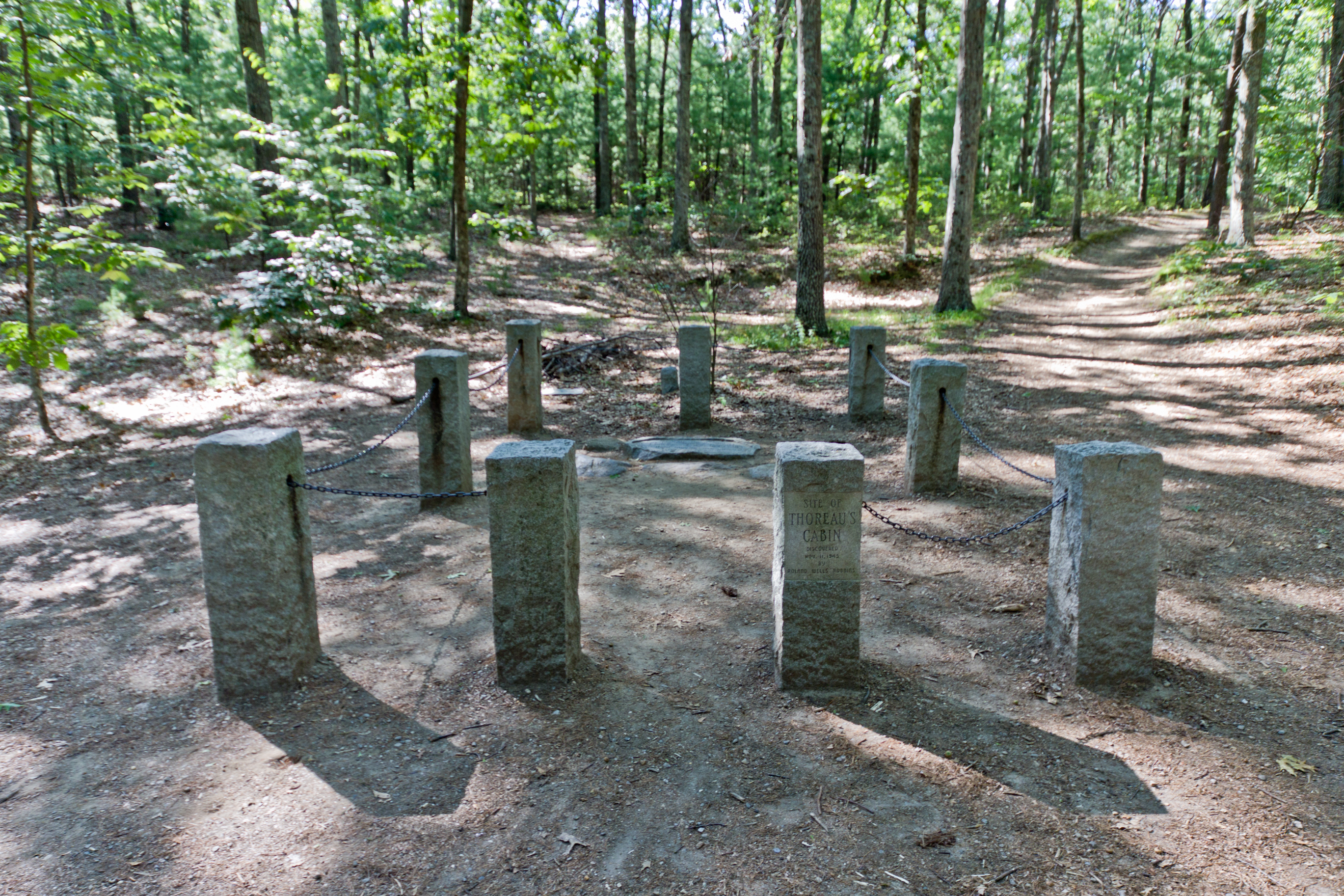
| 22 |
Walden Pond |
 |
01966-10-15 October 15, 1966 |
1.5 mi (2.4 km) south of Concord
42°26′20″N 71°20′20″W / 42.43889°N 71.33889°W / 42.43889; -71.33889 (Walden Pond) |
National Historic Landmark |
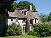
| 23 |
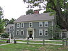
The Wayside |
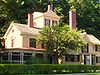 |
01980-07-11 July 11, 1980 |
455 Lexington Rd.
42°27′33″N 71°20′2″W / 42.45917°N 71.33389°W / 42.45917; -71.33389 (Wayside, The) |
National Historic Landmark |
| 24 |
Wheeler-Minot Farmhouse |
 |
02004-03-19 March 19, 2004 |
341 Virginia Rd.
42°28′10″N 71°18′41″W / 42.46944°N 71.31139°W / 42.46944; -71.31139 (Wheeler--Minot Farmhouse) |
|
| 25 |
Wheeler-Merriam House |
 |
01982-11-26 November 26, 1982 |
477 Virginia Rd.
42°28′6″N 71°18′28″W / 42.46833°N 71.30778°W / 42.46833; -71.30778 (Wheeler-Merriam House) |
|
| 26 |
Wright's Tavern |
 |
01966-10-15 October 15, 1966 |
Lexington Road opposite the Burying Ground
42°27′36″N 71°20′57″W / 42.46°N 71.34917°W / 42.46; -71.34917 (Wright's Tavern) |
National Historic Landmark |
 Category:National Register of Historic Places •
  Portal:National Register of Historic PlacesCategories: