- Alewife Brook Parkway
Infobox road
marker_
state=MA
highway_name=Alewife Brook Parkway
name_notes=
type=
route=
alternate_name=
maint=
section=
formed=1916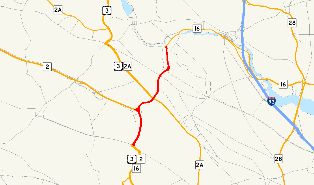
map_notes=
map_custom=
length_mi=2.05
length_km=3.35
length_round=2
length_ref= [ [http://www.mass.gov/mgis/eotroads.htm Executive Office of Transportation - Office of Transportation Planning Roads - June 2008] ]
direction_a=South
starting_terminus=jct|state=MA|US|3|MA|2|MA|16|road=Concord Avenue|city1=Cambridge
direction_b=North
ending_terminus=jct|state=MA|MA|16|road=Mystic Valley Parkway|city1=Somerville
counties=
rural_municipalities=
cities=
system=
spur_type=
spur_of=
previous_type=
previous_route=
next_type=
next_route=
browse=Infobox_nrhp | name =Alewife Brook Parkway
nrhp_type =
caption =
location=Cambridge, Massachusetts
locmapin = Massachusetts
area =
built =1908
architect=Charles Eliot ;Olmsted Brothers
added =March 18 ,2004
governing_body = State
mpsub=Metropolitan Park System of Greater Boston MPS
refnum=04000249cite web|url=http://www.nr.nps.gov/|title=National Register Information System|date=2007-01-23|work=National Register of Historic Places|publisher=National Park Service]Alewife Brook Parkway is a short
parkway inCambridge, Massachusetts . It is listed on theNational Register of Historic Places .History
The parkway, with surrounding
Alewife Brook Reservation (115 acres), forms part of Boston's Metropolitan Park District, established in 1893. It was originally planned by landscape architectCharles Eliot as one section of a web of pleasure roads designed for theiraesthetics . NearbyAlewife Brook was straightened and channelized between 1909-1912, with construction of the parkway completed by 1916. Landscaping was performed by the famedOlmsted Brothers firm.Route description
The parkway runs along Cambridge's western boundary into Somerville as one section of
Massachusetts Route 16 , with a total length of just over two miles. Its southern end merges into Concord Avenue at the Fresh Pond rotaries, and thereby links to theFresh Pond Parkway . Its northern end joins with theMystic Valley Parkway in a rotary at theMystic River .As commuting traffic has grown over the past century, and roadside sprawl has developed, the parkway's original aesthetics have been largely lost. It is now the principal connector between Route 2 and the western suburbs, on the one hand, and downtown Cambridge and Boston on the other. Alewife Station is a prominent feature on the parkway, as are various shopping centers, parking lots, and office and apartment buildings.
References
External links
* [http://www.mass.gov/dcr/pe/alewife.htm Massachusetts Department of Conservation and Recreation: Alewife Master Plan]
Wikimedia Foundation. 2010.