- Dickinson, Texas
-
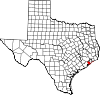
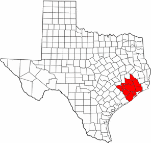
City of Dickinson — City — The Dickinson water tower.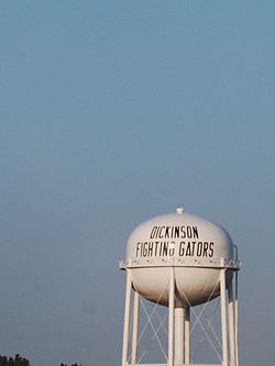 Location in the state of Texas
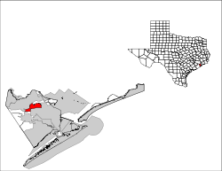
Coordinates: 29°27′38″N 95°03′14″W / 29.46056°N 95.05389°WCoordinates: 29°27′38″N 95°03′14″W / 29.46056°N 95.05389°W Country  United States
State  Texas
TexasCounty Galveston Incorporated 1977 Government – Type Council-Manager – City Council Mayor Julie Masters
Charles Suderman
Walter Wilson
Kerry Neves
Louis Decker
William King III
Mary Dunbaugh– City Manager Julie Johnston Area – Total 9.8 sq mi (25.4 km2) – Land 9.6 sq mi (25 km2) – Water 0.2 sq mi (0.4 km2) Elevation 10 ft (3 m) Population (2000)[1] – Total 17,093 – Density 1,770.7/sq mi (683.9/km2) Time zone CST (UTC-6) – Summer (DST) CDT (UTC-5) ZIP code 77539 Area code(s) 281 FIPS code 48-20344[2] GNIS feature ID 1334345[3] Website Dickinson.TX.us Dickinson is a city in Galveston County, Texas within the Houston–Sugar Land–Baytown metropolitan area. The population was 17,093 at the 2000 census.
Contents
History
Further information: History of the Galveston Bay AreaDickinson is located on a tract of land granted to John Dickinson in 1824, and named after him. A settlement had been established in this area on Dickinson Bayou before 1850. The Galveston, Houston, and Henderson Railroad was built directly through Dickinson. This line was used in the American Civil War to successfully retake Galveston.
The Dickinson Land and Improvement Association was organised in the 1890s by Fred M. Nichols and eight other businessmen. It marketed to potential farmers with claims of the soil's suitability for food crops, and socialites with the creation of the Dickinson Picnic Grounds and other attractions. By 1911, the Galveston and Houston Electric Railway had three stops in Dickinson, and the Oleander Country Club was a popular destination for prominent Galvestonians.
In 1905, Italian ambassador Baron Mayor des Planches convinced about a hundred fifty Italians from crowded eastern cities to move to Dickinson. They joined the dozens relocated there after flooding in Bryan forced them to seek new homes.
Dickinson continued to grow due to its proximity to Texas City, with its shipyards and wartime industries, and later its proximity to the Johnson Space Center.[citation needed]
During the 1920s, Dickinson became a significant tourist destination resulting from investment by the Maceo crime syndicate which ran Galveston during this time. The syndicate created gambling venues in the city such as the Silver Moon casino.[4]
Recently, the City of Dickinson constructed a new multi-million dollar City Hall and Library complex which was dedicated June 30, 2009. The complex is located between Highway 3 and F.M. 517 near the intersection.
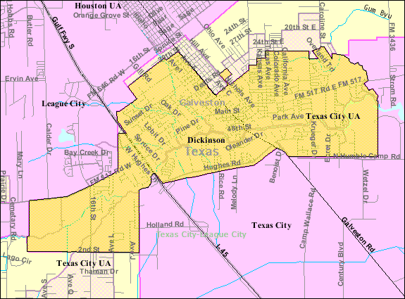
Geography
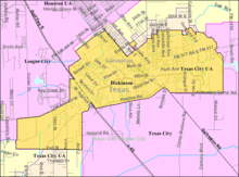 Map of Dickinson
Dickinson is located at 29°27′38″N 95°03′14″W / 29.460467°N 95.053856°W (29.460467, -95.053856).[5] This is about 28 miles (45 km) southeast of Houston and 19 miles (31 km) northwest of Galveston.
According to the United States Census Bureau, the city has a total area of 9.8 square miles (25 km2), of which, 9.6 square miles (25 km2) of it is land and 0.2 square miles (0.52 km2) of it (1.53%) is water.
Demographics
As of the census[2] of 2000, there were 17,093 people, 6,162 households, and 4,522 families residing in the city. The population density was 1,770.7 people per square mile (683.9/km2). There were 6,556 housing units at an average density of 679.1 per square mile (262.3/km2). The racial makeup of the city was 75.35% White, 10.52% African American, 0.64% Native American, 1.21% Asian, 0.04% Pacific Islander, 12.82% from other races, and 2.43% from two or more races. Hispanic or Latino of any race were 24.90% of the population.
There were 6,162 households out of which 36.6% had children under the age of 18 living with them, 55.4% were married couples living together, 13.0% had a female householder with no husband present, and 26.6% were non-families. 21.6% of all households were made up of individuals and 6.6% had someone living alone who was 65 years of age or older. The average household size was 2.76 and the average family size was 3.22.
In the city the population was spread out with 28.5% under the age of 18, 9.6% from 18 to 24, 30.5% from 25 to 44, 21.8% from 45 to 64, and 9.6% who were 65 years of age or older. The median age was 34 years. For every 100 females there were 99.7 males. For every 100 females age 18 and over, there were 98.2 males.
The median income for a household in the city was $41,984, and the median income for a family was $46,585. Males had a median income of $36,391 versus $26,943 for females. The per capita income for the city was $19,785. About 9.5% of families and 13.1% of the population were below the poverty line, including 17.6% of those under age 18 and 7.2% of those age 65 or over.
Government and infrastructure
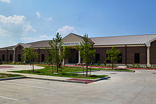 Dickinson City Hall
The United States Postal Service Dickinson Post Office is located at 2515 Termini Street.[6]
The Dickinson Police Department is located at 4000 Liggio Street.
The City Hall and Library are located at 3304 Highway 3.
There are Fire Stations at 4500 FM 517 East and 221 FM 517 West.
Education
Primary and secondary schools
Public schools
Most of Dickinson is a part of the Dickinson Independent School District. Some of it is a part of the Santa Fe Independent School District.
The following schools serve the Dickinson ISD portion:
- Elementary schools
- Calder Road Elementary School (PreKindergarten- 4th Grade)
- Bay Colony Elementary School (PreKindergarten- 4th Grade)
- Hughes Road Elementary School (PreKindergarten - 4th Grade)
- Jake Sibernagel Elementary School (PreKindergarten - 4th Grade)
- K. E. Little Elementary School (PreKindergarten - 4th Grade) [serves Bacliff portion of DISD]
- San Leon Elementary School(PreKindergarten - 4th Grade) [serves San Leon portion of DISD]
- Middle schools
- John and Shamarion Barber Middle School (5th-6th Grade)
- Dunbar Middle School (5th-6th Grade)
- Jr. High Schools
- R.D. McAdams Junior High School (7th-8th Grade)
- High Schools
- Dickinson High School (9th-12th Grade)
-Before the 2004–2005 school year, all DISD elementary schools provided education for Pre-K through 5th grades. But Barber Elementary School was turned into a Middle School center for 5th grade from 2004-2005 school year to 2007-2008 school year. For the 2008–2009 school year and beyond, a newly built Barber Middle School built off of FM 517 and Dunbar Middle School (which recently only held the 6th grade) will now both hold 5th-6th grades. Students will be separated into schools based on where they reside. A new R.D. McAdams Junior High School has been built on Hughes Road.
Bay Area Charter Middle School is a state charter school in Dickinson.
Private schools
True Cross School, a Roman Catholic pre-K - 8 school operated by the Roman Catholic Archdiocese of Galveston-Houston, is in Dickinson.[7] True Cross School was the first Roman Catholic school on the Galveston County mainland. There is also a Christian school named Pine Drive Christian School, located at 705 FM 517 E. Famous people who have attended this school include Theresa Curry[8]
Colleges and universities
All of Dickinson is served by the College of the Mainland.
Public libraries
Dickinson Public Library, operated by the city, is located at 4411 Highway 3 [9]
Parks and recreation
The Galveston County Department of Parks and Senior Services operates the Dickinson Community Center at 2714 Highway 3.[10]
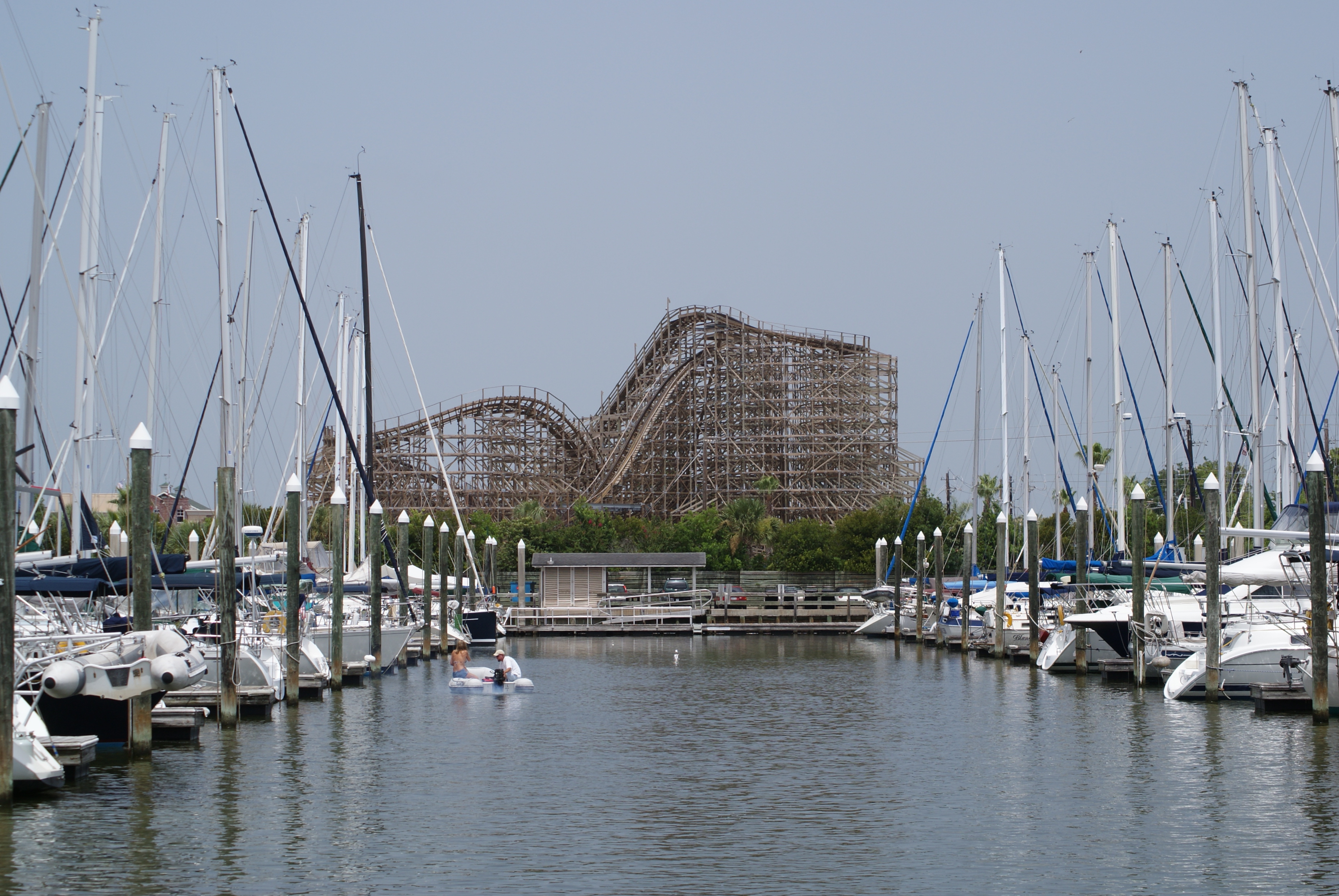
Dickinson Bayou is a bayou that flows in and out of the city of Dickinson. Residents and guests enjoy the activities the bayou offers.
Parks are numerous around the city. Paul Hopkins on 517 is host to the Festival of Lights each December. Elva Lobit Park and Zempter Park are parks that host the city's youth Baseball Leagues. A state-maintained boat dock is present at both the Highway 3 and 146 bridges.
Well known residents and former residents
- Enid Graham - Tony Award Nominated Actress and can be seen on several episodes of Law and Order and in several motion pictures
- Tracy Scoggins - Hollywood actress
- Andre Ware - 1989 Heisman Trophy winner (University of Houston, Quarterback) and former professional football player
- Melissa Dettwiller- A female bodybuilder, soft core adult film actress, and fitness model who now resides in Las Vegas, NV.
- Bill Gurley - A businessman from Dickinson
- Gene Kranz - Former NASA Flight Director during the Gemini and Apollo programs
References
- ^ "US Census Bureau Population Finder: Dickinson city, TX". factfinder.census.gov. http://factfinder.census.gov/servlet/SAFFFacts?_event=Search&geo_id=16000US4819624&_geoContext=01000US%7C04000US48%7C16000US4819624&_street=&_county=dickinson&_cityTown=dickinson&_state=04000US48&_zip=&_lang=en&_sse=on&ActiveGeoDiv=geoSelect&_useEV=&pctxt=fph&pgsl=160&_submenuId=factsheet_1&ds_name=DEC_2000_SAFF&_ci_nbr=null&qr_name=null®=null%3Anull&_keyword=&_industry=. Retrieved 2007-07-02.
- ^ a b "American FactFinder". United States Census Bureau. http://factfinder.census.gov. Retrieved 2008-01-31.
- ^ "US Board on Geographic Names". United States Geological Survey. 2007-10-25. http://geonames.usgs.gov. Retrieved 2008-01-31.
- ^ "Grande Dame of the Gulf". Texas Monthly: 168. December 1983. http://books.google.com/books?id=LywEAAAAMBAJ.
- ^ "US Gazetteer files: 2010, 2000, and 1990". United States Census Bureau. 2011-02-12. http://www.census.gov/geo/www/gazetteer/gazette.html. Retrieved 2011-04-23.
- ^ "Post Office Location - DICKINSON." United States Postal Service. Retrieved on December 6, 2008.
- ^ True Cross Catholic School
- ^ Pine Drive Community Church
- ^ "Dickinson Public Library [1]" Dickinson Public Library. Retrieved on September 7, 2010.
- ^ Facilities Overview." Galveston County Department of Parks and Senior Services.
External links
- City of Dickinson
- Dickinson Volunteer Fire Department
- Dickinson Public Safety (EMS service)
- Dickinson, Texas from the Handbook of Texas Online
- Houston/Galveston National Weather Service Office
Galveston Bay Area HistoryLarge cities 
Other cities Anahuac · Beach City · Clear Lake Shores · Dickinson · El Lago · Deer Park · Friendswood · Kemah · La Marque · La Porte · League City · Nassau Bay · Morgan's Point · Seabrook · Shoreacres · Taylor Lake Village · Texas City · WebsterCDPs and non-
municipalitiesBacliff · Bayview · Clear Lake City (part of Houston/Pasadena) · Double Bayou · San Leon · Smith PointCounties Subregions Bodies of
waterArmand Bayou · Cedar Bayou · Clear Creek · Clear Lake · Dickinson Bay · Galveston Bay · Lake Anahuac · Moses Lake · San Jacinto River · Taylor Lake · Trinity Bay · Trinity RiverMajor ports Barbours Cut · Bayport · Texas CityNature
preservesAnahuac National Wildlife Refuge · Armand Bayou Nature Center · Baytown Nature Center · Pine Gully Park · Texas City Prairie Preserve Houston–Sugar Land–Baytown
Counties Austin • Brazoria • Chambers • Fort Bend • Galveston • Harris • Liberty • Montgomery • San Jacinto • Waller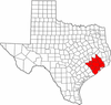
"Principal" cities Other cities Alvin • Angleton • Bellaire • Clute • Deer Park • Dickinson • Freeport • Friendswood • Galena Park • Humble • Jacinto City • Katy • Lake Jackson • La Marque • La Porte • League City • Missouri City • Pasadena • Pearland • Richmond • Rosenberg • South Houston • Stafford • Texas City • West University Place
- For a complete listing, see list of cities and towns in Houston–Sugar Land–Baytown MSA
Unincorporated
areasAtascocita • Channelview • Cloverleaf • Crosby • Cypress • Fresno • Hockley • Klein • Port Bolivar • Spring • The WoodlandsBodies of water Buffalo Bayou • Galveston Bay • Gulf Intracoastal Waterway • Houston Ship Channel • San Jacinto River • Trinity River • Lake Houston • Lake ConroeMunicipalities and communities of Galveston County, Texas Cities Bayou Vista | Clear Lake Shores | Dickinson | Friendswood‡ | Galveston | Hitchcock | Jamaica Beach | Kemah | La Marque | League City‡ | Santa Fe | Seabrook‡ | Texas City‡
Village CDPs Unincorporated
communitiesAlgoa | Bayview | Caplen | Crystal Beach | Gilchrist | High Island | Port Bolivar
Footnotes ‡This populated place also has portions in an adjacent county or counties
Categories:- Cities in Texas
- Populated places in Galveston County, Texas
- Greater Houston
- Galveston Bay Area
- Elementary schools


Wikimedia Foundation. 2010.