- Tiki Island, Texas
-
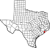
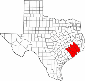
Tiki Island, Texas — Village — Location of Tiki Island, Texas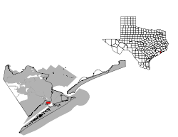
Coordinates: 29°17′56″N 94°54′52″W / 29.29889°N 94.91444°WCoordinates: 29°17′56″N 94°54′52″W / 29.29889°N 94.91444°W Country United States State Texas County Galveston Government - Mayor Phillip M. Hopkins[1] Area - Total 1.3 sq mi (3.5 km2) - Land 0.6 sq mi (1.7 km2) - Water 0.7 sq mi (1.8 km2) Elevation 0 ft (0 m) Population (2000) - Total 1,016 - Density 1,567.7/sq mi (605.3/km2) Time zone Central (CST) (UTC-6) - Summer (DST) CDT (UTC-5) ZIP code 77554 Area code(s) 409 FIPS code 48-72989[2] GNIS feature ID 1388537[3] Tiki Island is a village in Galveston County, Texas, United States. The population was 1,016 at the 2000 census.
Contents
History and government
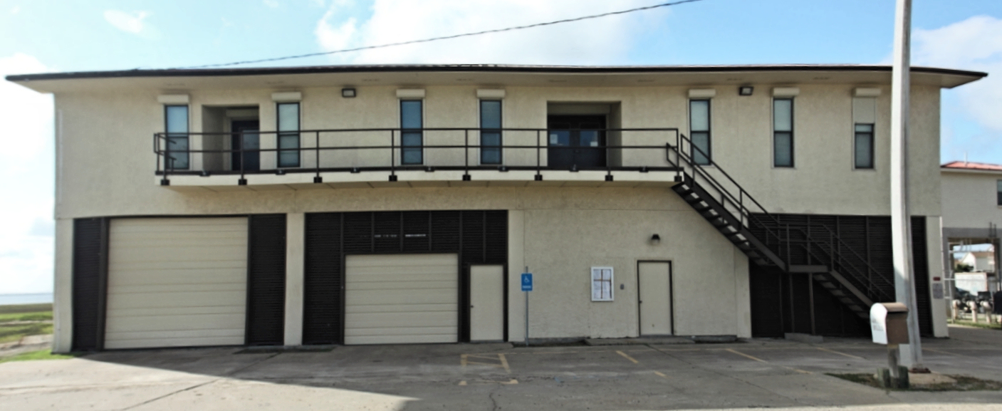
Tiki Island was incorporated as a village on August 30, 1982.[1] It has a full time police department and volunteer fire department. Lacking its own post office, mail delivery is the responsibility of the nearby Galveston post office.[4] [5]
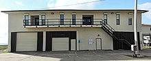 Tiki Island City Hall.
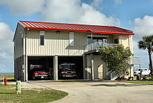 Tiki Island police station & fire department.
Geography
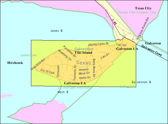
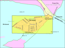 Map of Tiki Island
According to the United States Census Bureau, the village has a total area of 1.4 square miles (3.6 km2), of which, 0.6 square miles (1.6 km2) of it is land and 0.7 square miles (1.8 km2) of it (51.85%) is water.
Demographics
As of the census[2] of 2000, there were 1,016 people, 482 households, and 349 families residing in the village. The population density was 1,567.7 people per square mile (603.5/km²). There were 746 housing units at an average density of 1,151.1 per square mile (443.1/km²). The racial makeup of the village was 96.26% White, 0.30% African American, 0.39% Native American, 0.98% Asian, 0.10% Pacific Islander, 0.98% from other races, and 0.98% from two or more races. Hispanic or Latino of any race were 3.64% of the population.
There were 482 households out of which 13.7% had children under the age of 18 living with them, 68.9% were married couples living together, 1.7% had a female householder with no husband present, and 27.4% were non-families. 20.3% of all households were made up of individuals and 3.7% had someone living alone who was 65 years of age or older. The average household size was 2.11 and the average family size was 2.40.
In the village the population was spread out with 10.8% under the age of 18, 3.0% from 18 to 24, 24.3% from 25 to 44, 49.5% from 45 to 64, and 12.4% who were 65 years of age or older. The median age was 50 years. For every 100 females there were 109.5 males. For every 100 females age 18 and over, there were 107.8 males.
The median income for a household in the village was $88,891, and the median income for a family was $93,129. Males had a median income of $69,792 versus $35,333 for females. The per capita income for the village was $54,611. About 0.8% of families and 2.0% of the population were below the poverty line, including 4.7% of those under age 18 and none of those age 65 or over.
Education
The eastern half of Tiki Island is zoned to the La Marque Independent School District.
The western half is zoned to the Hitchcock Independent School District.
All of Tiki Island is served by the College of the Mainland.
References
- ^ a b "Village of Tiki Island", Tiki Island Official Webpage
- ^ a b "American FactFinder". United States Census Bureau. http://factfinder.census.gov. Retrieved 2008-01-31.
- ^ "US Board on Geographic Names". United States Geological Survey. 2007-10-25. http://geonames.usgs.gov. Retrieved 2008-01-31.
- ^ Jasinski, Laurie. "Village of Tiki Island, Texas". Texas State Historical Association: Handbook of Texas. http://www.tshaonline.org/handbook/online/articles/VV/hjv5.html.
- ^ "United States Postal Service zip code database". United States Postal Service. http://zip4.usps.com/zip4/.
External links
Municipalities and communities of Galveston County, Texas County seat: Galveston Cities Bayou Vista | Clear Lake Shores | Dickinson | Friendswood‡ | Galveston | Hitchcock | Jamaica Beach | Kemah | La Marque | League City‡ | Santa Fe | Seabrook‡ | Texas City‡
Village Tiki Island
CDPs Unincorporated
communitiesAlgoa | Bayview | Caplen | Crystal Beach | Gilchrist | High Island | Port Bolivar
Footnotes ‡This populated place also has portions in an adjacent county or counties
 Houston–Sugar Land–Baytown
Counties Austin • Brazoria • Chambers • Fort Bend • Galveston • Harris • Liberty • Montgomery • San Jacinto • Waller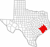
"Principal" cities Other cities Alvin • Angleton • Bellaire • Clute • Deer Park • Dickinson • Freeport • Friendswood • Galena Park • Humble • Jacinto City • Katy • Lake Jackson • La Marque • La Porte • League City • Missouri City • Pasadena • Pearland • Richmond • Rosenberg • South Houston • Stafford • Texas City • West University Place
- For a complete listing, see list of cities and towns in Houston–Sugar Land–Baytown MSA
Unincorporated
areasAtascocita • Channelview • Cloverleaf • Crosby • Cypress • Fresno • Hockley • Klein • Port Bolivar • Spring • The WoodlandsBodies of water Buffalo Bayou • Galveston Bay • Gulf Intracoastal Waterway • Houston Ship Channel • San Jacinto River • Trinity River • Lake Houston • Lake ConroeCategories:- Populated places in Galveston County, Texas
- Villages in Texas
- Greater Houston


Wikimedia Foundation. 2010.