- Assateague Light
-
Assateague Light 
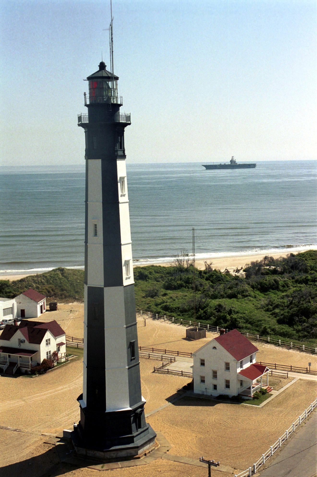
Assateague Lighthouse, Aug 2007 Location south of Chincoteague, Virginia Coordinates 37°54′40″N 75°21′21″W / 37.9111°N 75.3558°W Year first lit 1867 Automated 1933 Deactivated N/A Foundation Stone & Concrete Construction Red Brick Tower shape Conical Height 142 ft Original lens first-order Fresnel Len Range 19 miles Characteristic Double-flash every five seconds Assateague Light is the 142-foot-tall (43 m) lighthouse located on the southern end of Assateague Island off the coast of the Virginia Eastern Shore, USA. The lighthouse is located within the Chincoteague National Wildlife Refuge and can be accessed by road from Chincoteague Island over the Assateague Channel.
Constructed in 1867 to replace a shorter light house built in the early 1830s, the light house is conical in shape and is painted in alternating bands of red and white. It was built with a first-order Fresnel lens which has since been replaced with an electronically powered beacon. The grounds also contain a keeper's house and oil house.
The lighthouse is depicted on the 2003–2004 Federal Duck Stamp, designed by Ron Louque.
The light is open for public tours on weekends during the summer.
Gallery
-

Assateague Lighthouse – U.S. Coast Guard Archive
-
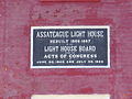
Assateague Lighthouse plaque, Aug 2007
-
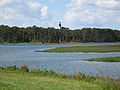
Assateague Channel with Assateague Light in distance
External links
- Lighthousefriends: Assateague Lighthouse
- Assateague Light on Federal Duck Stamp
- Chesapeake Bay Lighthouse Project - Assateague Light

U.S. National Register of Historic Places Topics Lists by states Alabama • Alaska • Arizona • Arkansas • California • Colorado • Connecticut • Delaware • Florida • Georgia • Hawaii • Idaho • Illinois • Indiana • Iowa • Kansas • Kentucky • Louisiana • Maine • Maryland • Massachusetts • Michigan • Minnesota • Mississippi • Missouri • Montana • Nebraska • Nevada • New Hampshire • New Jersey • New Mexico • New York • North Carolina • North Dakota • Ohio • Oklahoma • Oregon • Pennsylvania • Rhode Island • South Carolina • South Dakota • Tennessee • Texas • Utah • Vermont • Virginia • Washington • West Virginia • Wisconsin • WyomingLists by territories Lists by associated states Other Categories:- Lighthouses in Virginia
- National Register of Historic Places in Virginia
- Buildings and structures in Accomack County, Virginia
- Lighthouses on the National Register of Historic Places
- Buildings and structures completed in 1867
- Visitor attractions in Accomack County, Virginia
- United States lighthouse stubs
- Virginia building and structure stubs
-


Wikimedia Foundation. 2010.