- Newport News Middle Ground Light
-
Newport News Middle Ground Light 
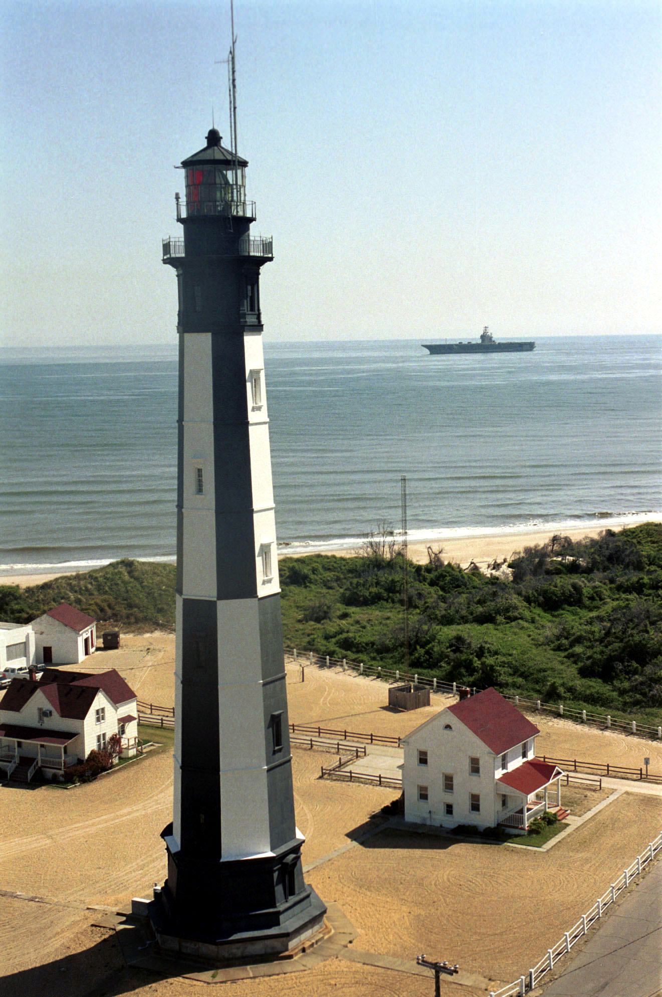
1997 photograph of Newport News Middle Ground Light, Virginia (NPS) Location east of the Monitor-Merrimac Memorial Bridge-Tunnel in Hampton Roads Coordinates 36°56′43″N 76°23′29″W / 36.9452°N 76.3915°WCoordinates: 36°56′43″N 76°23′29″W / 36.9452°N 76.3915°W Year first lit 1891 Automated 1954 Foundation pneumatic wooden caisson Construction cast iron Tower shape round "spark plug" Height 70 ft Original lens fourth order Fresnel lens Current lens Vega VRB-25 solar-powered beacon Range 14 miles Characteristic red Newport News Middle Ground Light is a lighthouse near the Monitor-Merrimac Memorial Bridge-Tunnel on Interstate 664 in Hampton Roads. It is the oldest caisson lighthouse in Virginia.
History
This light marks a small rise in the center of Hampton Roads which became a hazard as ships drew more water. The initial request was made in 1887, and after several economizing changes to the design, construction began in 1890 and was completed in the spring of the following year. This was the first sparkplug lighthouse built in Virginia.
Automation came in 1954, and with it the first of a series of characteristic changes, from a fixed to a flashing white light. The light was described as a "second class tall nun buoy". It also marked the beginning of a period of neglect. In 1979 the now unmanned light was struck by a tugboat, and an inspection in 1982 showed serious damage to the first floor gallery and leaks into the foundation; broken and jammed windows allowed seagulls into the interior. Some repairs were made, but more significant changes were made in 1986-87, when the light was converted to solar power. The new beacon was placed outside the lantern, and the following year a more substantial renovation was applied to the structure in an effort to remedy the damage and neglect.
Construction of the Monitor-Merrimac Memorial Bridge-Tunnel in 1992 produced a background to the light which tended to obscure it. Inspection in that year and in 1994 showed that the decline of the light continued. In 2000 the beacon was returned to the interior of the lantern, and the characteristic changed to red in order to make it more visible against the bridge's lights.
This light was among a group offered to non-profit groups under the National Historic Lighthouse Preservation Act in 2005. There were no takers, and it was put up for auction. It was purchased by private interests and renovated as a vacation home, though it continues to serve as an active aid to navigation.
The light was purchased by the Billingsley and Gonsoulin families in 2005.
 U.S. Coast Guard Archive
References
- Inventory of Historic Light Stations from the National Park Service
- Newport News Middle Ground Light Station's National Register of Historic Places Nomination
- Newport News Middle Ground Lighthouse, Virginia from LighthouseFriends.com
- de Gast, Robert (1973). The Lighthouses of the Chesapeake. Baltimore: Johns Hopkins University Press.
- Chesapeake Bay Lighthouse Project
- Virginia Lighthouses - Geocities
- "Historic Light Station Information and Photography: Virginia". United States Coast Guard Historian's Office. http://www.uscg.mil/history/weblighthouses/LHVA.asp.
External links
 Categories:
- National Register of Historic Places in Virginia
- Lighthouses in Virginia
- Buildings and structures in Newport News, Virginia
- Lighthouses on the National Register of Historic Places
- Buildings and structures completed in 1891
- Lighthouse stubs
- Virginia building and structure stubs

Wikimedia Foundation. 2010.