- Monitor-Merrimac Memorial Bridge-Tunnel
-
Monitor-Merrimac Memorial Bridge-Tunnel 
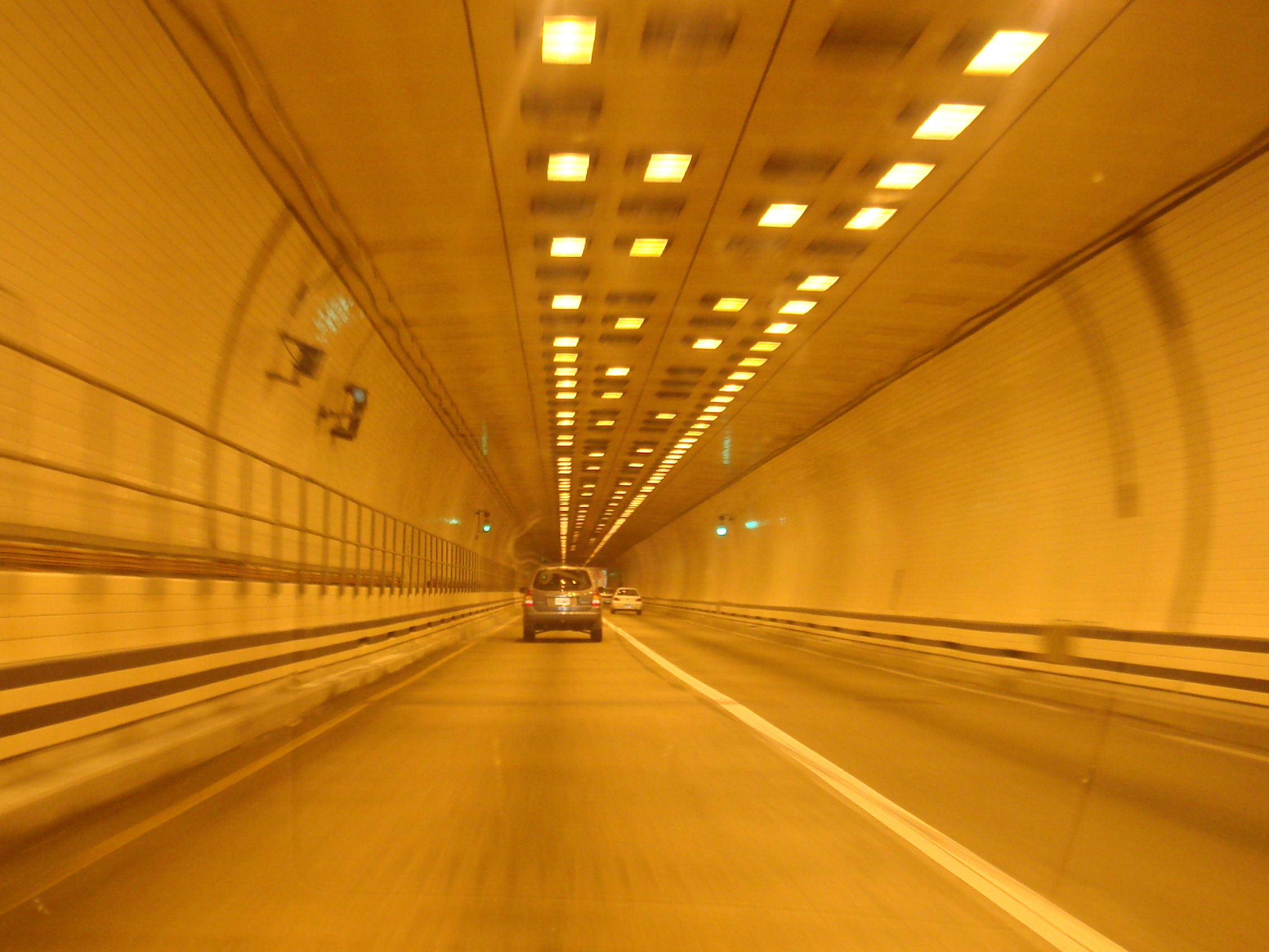
Carries 4 lanes of I-664 Crosses Hampton Roads Locale Suffolk, Virginia to Newport News, Virginia Maintained by Virginia Department of Transportation Design Composite--Low-level Trestle, Double-tube Tunnel, Manmade islands Total length 4.6 miles (7.4 km) Vertical clearance 14'6" (4.42 m) Opened April 30, 1992 Monitor-Merrimac Memorial Bridge-Tunnel (MMMBT) is the 4.6 mile-long (7.4 km) Hampton Roads crossing for Interstate 664 in the southeastern portion of Virginia in the United States. It is a four-lane bridge-tunnel composed of bridges, trestles, man-made islands, and tunnels under a portion of the Hampton Roads harbor where the James, Nansemond, and Elizabeth Rivers come together.
It connects the independent cities of Newport News on the Virginia Peninsula and Suffolk in South Hampton Roads and is part of the Hampton Roads Beltway, a circumferential interstate highway which links the seven largest cities of Hampton Roads.
The MMMBT, completed in 1992, provided a third major vehicle crossing of the Hampton Roads harbor area, supplementing the Hampton Roads Bridge-Tunnel which carries Interstate 64 between the independent cities of Hampton and Norfolk, and the James River Bridge connecting the independent city of Newport News and Isle of Wight County in the South Hampton Roads region. All three facilities are toll-free.
The MMMBT cost $400 million to build, and it includes a four-lane tunnel that is 4,800 feet (1,463 m) long, two man-made portal islands, and 3.2 miles (5.1 km) of twin trestle.
Contents
Battle of Hampton Roads
The MMMBT is named for the two ironclad warships which engaged in the famous Battle of Hampton Roads on March 8–9, 1862, during the US Civil War. The battle took place between the USS Monitor and the CSS Virginia. The latter ship had been rebuilt from the wreck of the USS Merrimack. The site of the battle was within 1 mile (1.6 km) of the bridge-tunnel structure named by the Commonwealth of Virginia as a memorial.
See also
References
- Rand McNally "The Road Atlas", 2005.
External links
- Roads to the Future website
- Kurumi's website about 3 digit interstates connecting with I-64
- Virginia Dept. of Transportation
- Snopes.com discussion about photo
- Google Maps
Coordinates: 36°56′27″N 76°24′06″W / 36.940837°N 76.401672°W
Transportation in the Hampton Roads Region Highways I-64 · I-264 · I-464 · I-564 · I-664 · Western Freeway · Chesapeake Expressway
Bridges Berkley Bridge · Campostella Bridge · Coleman Bridge · Gilmerton Bridge · High Rise Bridge · James River Bridge · Jordan Bridge · Lesner Bridge · Steel Bridge · West Norfolk Bridge
Tunnels Bridge-Tunnels Chesapeake Bay Bridge-Tunnel · Hampton Roads Bridge-Tunnel · Monitor-Merrimac Memorial Bridge-Tunnel
Vehicle Ferry Jamestown-Scotland Ferry
Airports Mass Transit Train Crossings of the James River / Hampton Roads Upstream
James River Bridge


Monitor-Merrimac Memorial Bridge-Tunnel

Downstream
Hampton Roads Bridge-Tunnel

 Categories:
- Bridges completed in 1992
- Tunnels in Virginia
- Bridge-tunnels in the United States
- Buildings and structures in Newport News, Virginia
- Transportation in Newport News, Virginia
- Transportation in Suffolk, Virginia
- Buildings and structures in Suffolk, Virginia
- Monuments and memorials in Virginia
- Memorial bridges in the United States
- Tunnels completed in 1992
- Road bridges in Virginia
Wikimedia Foundation. 2010.