- Inderøy
-
Inderøy kommune — Municipality — 
Coat of arms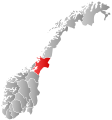
Nord-Trøndelag within
NorwayInderøy within Nord-Trøndelag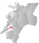
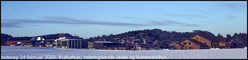
Coordinates: 63°53′58″N 11°13′12″E / 63.89944°N 11.22°ECoordinates: 63°53′58″N 11°13′12″E / 63.89944°N 11.22°E Country Norway County Nord-Trøndelag District Innherad Administrative centre Straumen Government - Mayor (2007) Ole Tronstad (Sp) Area - Total 145.83 km2 (56.3 sq mi) - Land 145.10 km2 (56 sq mi) - Water 0.73 km2 (0.3 sq mi) Area rank 359 in Norway Population (2011) - Total 5,906 - Rank 169 in Norway - Density 40.7/km2 (105.4/sq mi) - Change (10 years) 1.9 % Demonym Inderøyning[1] Time zone CET (UTC+1) - Summer (DST) CEST (UTC+2) ISO 3166 code NO-1729 Official language form Neutral Website inderoy.kommune.no Data from Statistics Norway Inderøy is a municipality in Nord-Trøndelag county, Norway. It is part of the Innherad region. The administrative centre of the municipality is the village of Straumen. Other villages include Gangstadhaugen, Hylla, Kjerknesvågen, Røra, Sakshaug, Sandvollan, Småland, Utøy, and Vangshylla.
The municipality is primarily an agricultural community, but also has some industry. In 2011, there were 5,906 residents in Inderøy. This is a 1.9% increase over the last decade.
Contents
General information
Inderøy was established as a municipality on 1 January 1838 (see formannskapsdistrikt). On 1 January 1907, the eastern district of Røra (population: 866) and the northern district of Sandvollan (population: 732) were both separated from Inderøy to form municipalities of their own. This left Inderøy with 2,976 residents. On 1 January 1962, both districts were merged back into Inderøy. Prior to the merger, Inderøy had 3,194 residents, and after the merger there were 4,947 residents.[2]
Name
The municipality is named Inderøy (historically spelled Inderøen) which comes from the Old Norse form of the name: Eynni iðri, meaning is "the inner island", probably referring to the peninsula which sticks out into the fjord. Neighboring Ytterøy, meaning "the outer island", is similarly named.[3]
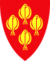
Coat-of-arms
The coat-of-arms is from modern times; they were granted on 5 October 1984. The arms show four gold-colored European plaice on a red background. This fish was once plentiful and was one of the main sources of income for the area until around 1940.[4]
Churches
The Church of Norway has three parishes (sokn) within the municipality of Inderøy. It is part of the Nord-Innherad deanery and the Diocese of Nidaros.
Churches in Inderøy Parish
(Sokn)Church Name Location
of the ChurchYear Built Inderøy Sakshaug Church Straumen 1871 Sakshaug gamle Church Sakshaug c. 1150 Røra Salberg Church Røra 1715 Sandvollan Heggstad Church Sandvollan 1887 Hustad Church Gangstad c. 1150 History
 Sakshaug Churches
During the Middle Ages Inderøy was called Eynni iðri, meaning the inner island, which is still the meaning of the word Inderøy. Saurshaug (now Sakshaug) was an important political centre until the 20th century. In the Middle Ages it was the centre of the county Øynafylket, also including Beitstad and Verran. The Sakshaug Old Church was opened by Archbishop Eysteinn Erlendsson in 1184 and was the county church. Many of the construction techniques used in the archbishop's cathedral Nidarosdomen in Trondheim were experimented with on Sakshaug Old Church. Also the village of Sandvollan has a church from the Middle Ages, Hustad Church.
During the late Middle Ages and until the breakup of the union between Sweden and Norway Inderøy was the seat of the Governor, Judge, and Tax Collector of Nordre Trondhjems amt, thus it was the county capital of what now is known as Nord-Trøndelag. The district court for central Nord-Trøndelag is still named after Inderøy.
Government
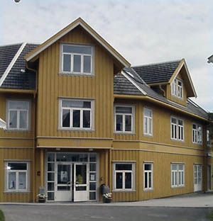
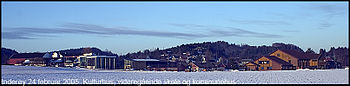 Sakshaug, School, and Administration Center
The administrative centre of Inderøy is Straumen where most of the commercial services are based. Municipal services are located about 1 kilometre (0.62 mi) to the north, at Sakshaug. There are five boroughs in Inderøy: Kjerknesvågen, Røra, Sandvollan, Sakshaug, and Utøy. Each has its own primary school and community centre.
Inderøy is part of the Diocese of Nidaros, Inderøy District Court, and Frostating Court of Appeal.
Municipal election 2007
After the 2007 municipal election the centre-right block led by the Centre Party (Sp) won a majority in the municipal council and Ole Tronstad (Sp) was elected Mayor while Ida Stuberg (Sp) was elected Deputy Mayor.
Inderøy Municipal Council 2007–2011 Party Percent Votes Seats in council Members of the
executive board% ± total ± total ± Centre 37.8 +11.4 1 158 +410 11 +4 Labour 26.6 −7.2 813 −140 7 −3 Conservative 12.1 +1.8 369 +79 3 0 Socialist Left 8.3 −7.3 253 −185 2 −1 Progress 8.9 +4.0 274 +133 2 +1 Christian Democrat 3.2 −1.4 99 −32 1 0 Liberal 3.1 −1.3 96 −28 1 −1 Turnover/Total 69.8% 3062 27 9 Mayor: Ole Tronstad (Sp) Deputy mayor: Ida Stuberg (Sp) Economy
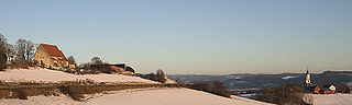
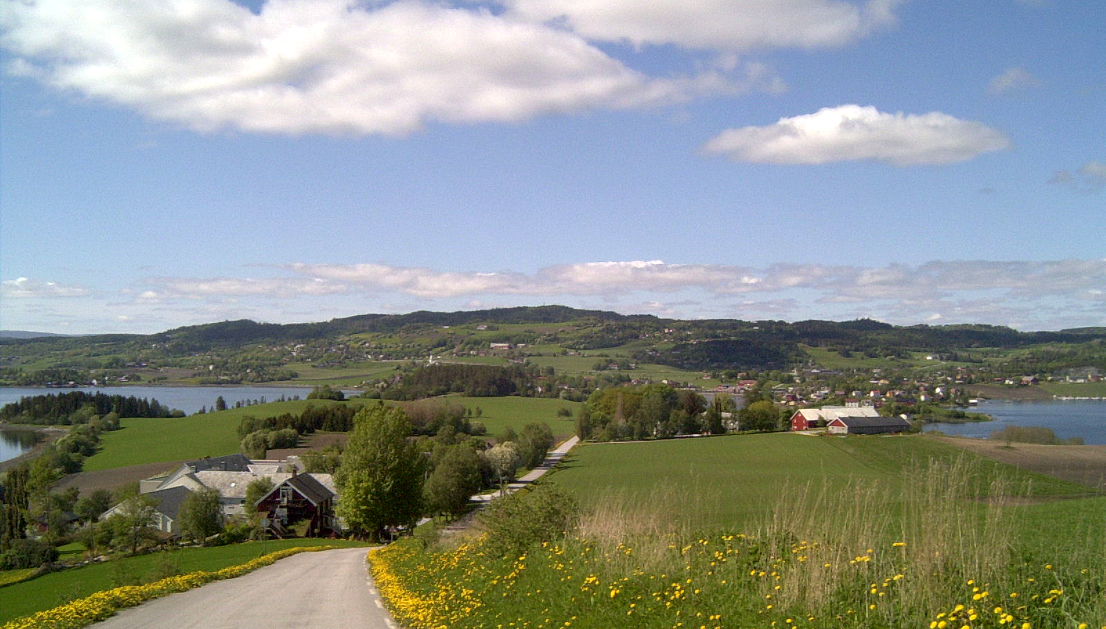
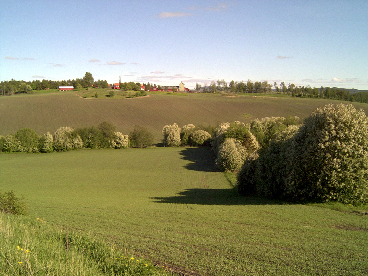
 Inderøy is mostly made up by lowland well suited for agriculture
Inderøy is primarily an agricultural area. Most of the municipality is cultivated, with grass and grains being the most common crops, but strawberries are also common. Most farmers also have forests. All dominant industry is oriented around agriculture, with factories producing distillery products (Sundnes Brenneri), animal feed, flat bread, jam, and juice (Røra Fabrikker), chickens, and other meat products. In addition there are numerous farms who manufacture their own produce and sell it on the farm.
There are also a number of service institutions in Inderøy, including stores, public services, and schools (including Utøy School). Quite a lot of people work in the neighboring municipalities of Levanger, Steinkjer, and Verdal—Inderøy being a suburb of those.
Geography
Inderøy is located on a peninsula in the inner sections of the Trondheimsfjord, bordering the municipalities of Levanger, Mosvik, Steinkjer, Verdal, and Verran. The Skarnsund lies at the southern end of the Inderøy peninsula, and it connects the main Trondheimsfjord with the inner Beitstadfjord.
Transportation
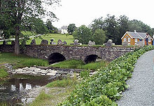
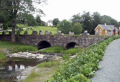
The Nordland Line runs through Røra, and Røra Station is served hourly or more often by the Trøndelag Commuter Rail.[5] European Route E6 also runs through Røra. It connects to Norwegian National Road 755 that runs through Sakshaug and onwards to Utøy and Mosvik. At Straumen, the road crosses the preserved Straumen Bridge and on the Inderøy–Mosvik border where it crosses the Skarnsund Bridge. National Road 761 runs from Sakshaug north through Sandvollan before intersecting with E6 south of Steinkjer. There is a limited bus service provided by TrønderBilene.[6]
Culture
 Muustrø Park, Inderøy
There are a number of cultural activities in Inderøy. The Inderøy Upper Secondary School has a music, dance, and drama line, and the county's music service is also located in Straumen. Quite a number of local activities are oriented around culture, including the annual jazz festival Soddjazz. There is also a gallery, Nils Aas Kunstverksted and numerous small artist workshops. The newspaper Inderøyningen is published in Straumen and covers the municipality.
Attractions
 The artist Nils Aas was born in Inderøy, and this art gallery is named after him
Most tourist attractions are connected to The Golden Detour. Among these are local farms and a distillery that sell locally produced foods and beverages, as well as artist workshops and a fishing centre.
Notable residents
- Nils Aas (1933–2004) artist
- Ingrid Bolsø Berdal (born 1980) actor
- Inger Lise Gjørv (1938–2009) politician and governor
- Per Egil Hegge (born 1940) journalist; former editor of Aftenposten
- Christian Leden (1882–1957) Arctic explorer, scientist and composer
- Håkon Løken (1859–1823) journalist and lawyer
- Ole Richter (1829–1888) lawyer, politician and prime minister
- Johannes B. Wist (1864–1923) Norwegian American journalist and author
References
- ^ "Personnemningar til stadnamn i Noreg" (in Norwegian). Språkrådet. http://www.sprakrad.no/nb-no/Sprakhjelp/Rettskrivning_Ordboeker/Innbyggjarnamn/.
- ^ Jukvam, Dag (1999). "Historisk oversikt over endringer i kommune- og fylkesinndelingen" (in Norwegian). Statistisk sentralbyrå. http://www.ssb.no/emner/00/90/rapp_9913/rapp_9913.pdf.
- ^ Rygh, Oluf (1903) (in Norwegian) (dokpro.uio.no). Norske gaardnavne: Nordre Trondhjems amt (15 ed.). Kristiania, Norge: W. C. Fabritius & sønners bogtrikkeri. p. 175. http://www.dokpro.uio.no/perl/navnegransking/rygh_ng/rygh_bla.prl?enhid=244764&avid=54349.
- ^ Norske Kommunevåpen (1990). "Nye kommunevåbener i Norden". http://www.ngw.nl/int/nor/i/inderoy.htm. Retrieved 2 November 2008.
- ^ Norwegian National Rail Administration. "Røra stasjon" (in Norwegian). http://www.jernbaneverket.no/no/Jernbanen/Stasjonssok/-R-/Rora/. Retrieved 26 October 2009.
- ^ Nord-Trøndelag County Municipality. "Rutetabeller" (in Norwegian). http://www.177nordtrondelag.no/. Retrieved 26 October 2009.
External links
- Nord-Trøndelag travel guide from Wikitravel
- Municipal fact sheet from Statistics Norway
- The Golden Detour
Municipalities of Nord-Trøndelag Current 
Former Categories:- Municipalities of Nord-Trøndelag
- Inderøy


Wikimedia Foundation. 2010.