- Vikna
-
Vikna kommune — Municipality — 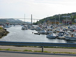

Coat of arms
Nord-Trøndelag within
NorwayVikna within Nord-Trøndelag
Coordinates: 64°54′42″N 11°1′55″E / 64.91167°N 11.03194°ECoordinates: 64°54′42″N 11°1′55″E / 64.91167°N 11.03194°E Country Norway County Nord-Trøndelag District Namdalen Administrative centre Rørvik Government – Mayor (2003) Karin Søraunet (KrF) Area – Total 318.10 km2 (122.8 sq mi) – Land 310.21 km2 (119.8 sq mi) – Water 7.89 km2 (3 sq mi) Area rank 268 in Norway Population (2011) – Total 4,135 – Rank 228 in Norway – Density 13.3/km2 (34.4/sq mi) – Change (10 years) 6.3 % Demonym Viknværing[1] Time zone CET (UTC+1) – Summer (DST) CEST (UTC+2) ISO 3166 code NO-1750 Official language form Neutral Website vikna.kommune.no Data from Statistics Norway Vikna is a municipality in Nord-Trøndelag county, Norway. It is part of the Namdalen region. The administrative centre of the municipality is the village of Rørvik. Other villages in Vikna include Austafjord, Garstad, and Valøya.
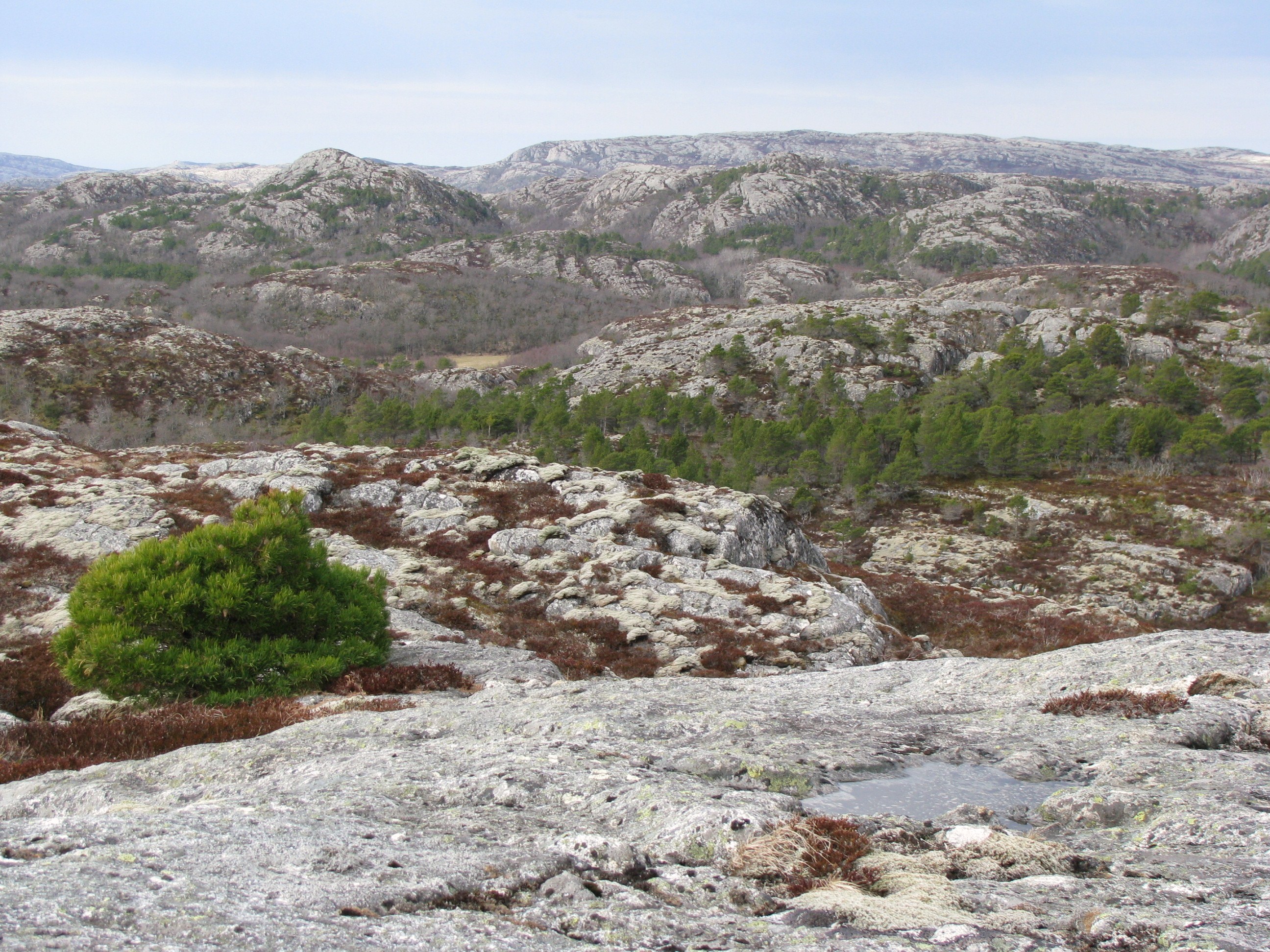
 Ytre Vikna.
Contents
General information
The municipality of Vikten was established on 1 July 1869 when it was separated from the municipality of Nærøy. Initially, the population of Vikten was 1,749. On 1 January 1881, a small area of Fosnes (population: 61) was transferred to Vikten. The name of the municipality was later changed to Vikna.[2]
Name
The municipality is named after the three large islands in the municipality: Inner-Vikna, Mellom-Vikna, and Ytter-Vikna (Old Norse: Víkn). The name is derived from the word vík which means "cove" or "wick". (The islands are scored by numerous coves and inlets.)[3]
Coat-of-arms
The coat-of-arms is from modern times; they were granted on 13 May 1988. The arms show three salmon on a blue background. This was chosen because salmon fishing and farming was (and still is) an important source of income in the municipality.[4]
Churches
The Church of Norway has one parish (sokn) within the municipality of Vikna. It is part of the Nærøy deanery in the Diocese of Nidaros.
Churches in Vikna Parish
(Sokn)Church Name Location
of the ChurchYear Built Vikna Garstad Church Garstad 1856 Rørvik Church Rørvik 1896 Valøy Chapel Valøya 1972 Geography
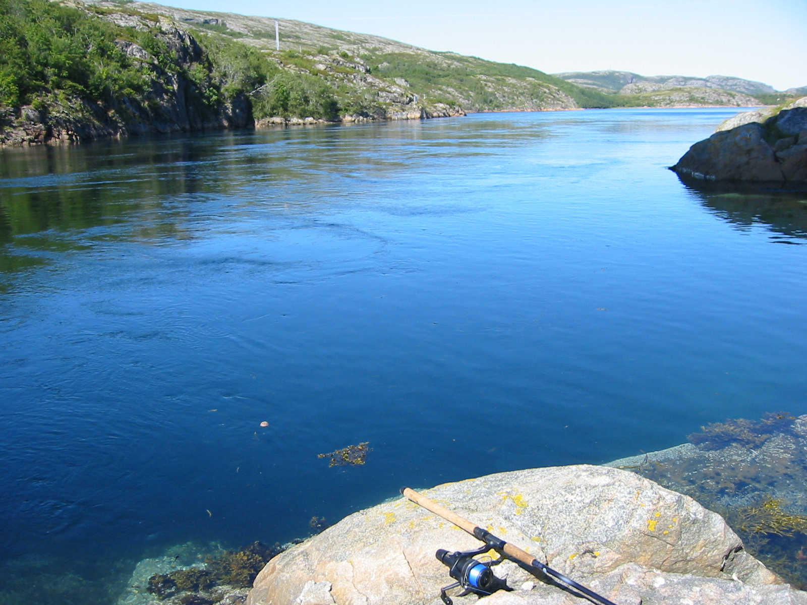
 Langsundet strait
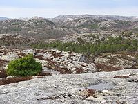 Vikna landscape in spring. 2009.
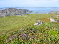
The municipality consists of a large island archipelago with some 6,000 large and small islands going far into the Norwegian Sea off the northwestern coast of Nord-Trøndelag. Vikna is the largest spawning area for cod south of Lofoten. The three largest islands are: Inner-Vikna, closest to the mainland, Mellom-Vikna, and then Ytter-Vikna as the westernmost island.
The main village is Rørvik, located on the eastern shore of Inner-Vikna, facing the mainland across the Nærøysundet strait. The many islands in the area means that there are many lighthouses including Gjeslingene Lighthouse, Grinna Lighthouse, Nærøysund Lighthouse, and Nordøyan Lighthouse.
On 21 October 1962, the coastal steamer (Hurtigruten) Sanct Svithun run aground on Nordøyan as a result of navigational error. The ship sunk, and there was a tragic loss of 41 lives. A memorial bauta was raised on Nordøyan in 2002.
Economy
Fishing, fish farming, public services, and agriculture are the main sources of income. The Norveg museum, devoted to the coastal way of life through the centuries, is located in Rørvik. The Vikna Wind Farm is located on Mellom-Vikna, just west of Garstad, and it produces power for much of the municipality.
Transportation
Hurtigruten boats stop frequently at Rørvik and Norwegian County Road 770 via the Nærøysund Bridge connects Vikna to the mainland and European route E6. There is also the small Rørvik Airport, Ryum, just south of Rørvik. Vikna and neighbouring Nærøy form a common work area with nearly 10,000 inhabitants.
References
- ^ "Personnemningar til stadnamn i Noreg" (in Norwegian). Språkrådet. http://www.sprakrad.no/nb-no/Sprakhjelp/Rettskrivning_Ordboeker/Innbyggjarnamn/.
- ^ Jukvam, Dag (1999). "Historisk oversikt over endringer i kommune- og fylkesinndelingen" (in Norwegian). Statistisk sentralbyrå. http://www.ssb.no/emner/00/90/rapp_9913/rapp_9913.pdf.
- ^ Rygh, Oluf (1903) (in Norwegian) (dokpro.uio.no). Norske gaardnavne: Nordre Trondhjems amt (15 ed.). Kristiania, Norge: W. C. Fabritius & sønners bogtrikkeri. p. 359. http://www.dokpro.uio.no/perl/navnegransking/rygh_ng/rygh_bla.prl?enhid=251699&avid=55824.
- ^ Norske Kommunevåpen (1990). "Nye kommunevåbener i Norden". http://www.ngw.nl/int/nor/v/vikna.htm. Retrieved 17 November 2008.
External links
- Nord-Trøndelag travel guide from Wikitravel
- Municipal fact sheet from Statistics Norway
- Norveg Museum
- Cultural map of Vikna (Norwegian)
- The plant cover of Kalvøya island
Municipalities of Nord-Trøndelag Current 
Former Categories:- Municipalities of Nord-Trøndelag
- Archipelagoes of the Atlantic Ocean
- Islands of Nord-Trøndelag
- Vikna
- Archipelagoes of Norway


Wikimedia Foundation. 2010.