- Namsskogan
-
Namsskogan kommune — Municipality — Brekkvasselv, Namsskogan

Coat of arms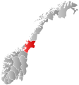
Nord-Trøndelag within
NorwayNamsskogan within Nord-Trøndelag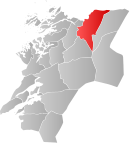
Coordinates: 64°52′19″N 12°58′35″E / 64.87194°N 12.97639°ECoordinates: 64°52′19″N 12°58′35″E / 64.87194°N 12.97639°E Country Norway County Nord-Trøndelag District Namdalen Administrative centre Namsskogan Government – Mayor (2007) Kari Ystgård Area – Total 1,417.16 km2 (547.2 sq mi) – Land 1,353.90 km2 (522.7 sq mi) – Water 63.26 km2 (24.4 sq mi) Area rank 59 in Norway Population (2011) – Total 928 – Rank 411 in Norway – Density 0.7/km2 (1.8/sq mi) – Change (10 years) -2.8 % Demonym Namsskoging[1] Time zone CET (UTC+1) – Summer (DST) CEST (UTC+2) ISO 3166 code NO-1740 Official language form Neutral Website namsskogan.kommune.no Data from Statistics Norway Namsskogan is a village and municipality in Nord-Trøndelag, Norway. Namsskogan is located in the upper part of the long Namdalen valley region. The administrative centre of the municipality is the village of Namsskogan. Other villages in the municipality include Brekkvasselv, Smalåsen, Skorovatn, and Trones.
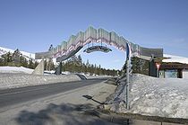
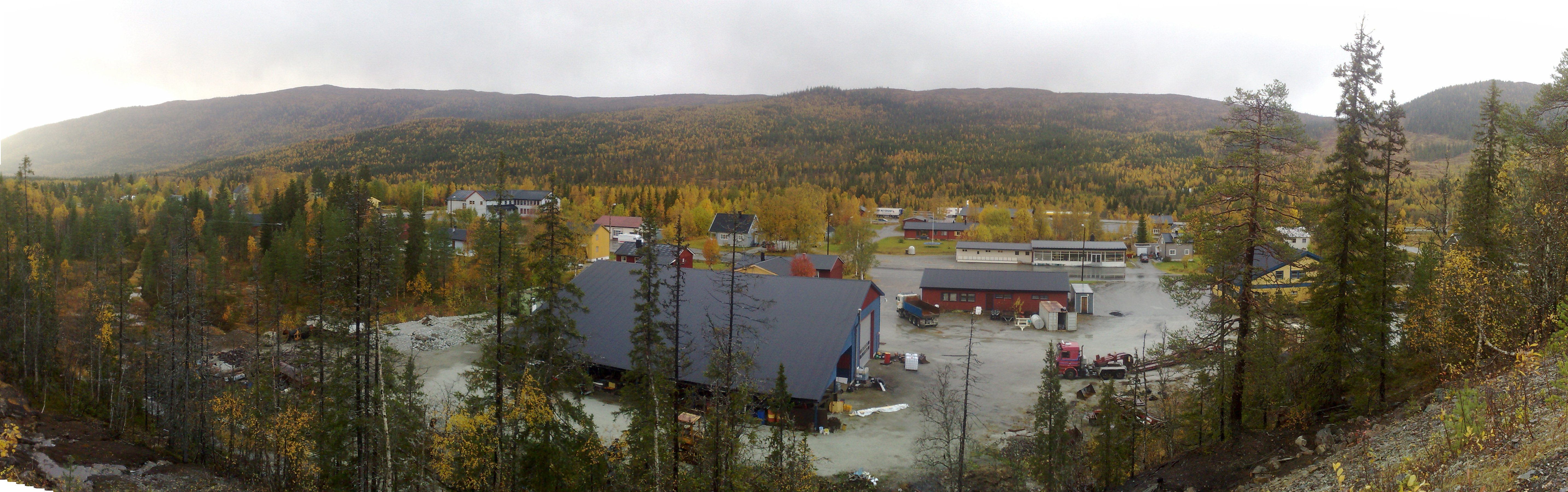
The village of Namsskogan lies along the river Namsen in the northern part of the municipality. The European route E6 highway runs through the village.
Contents
General information
The municipality of Namsskogan was established on 1 July 1923 when it was separated from the large municipality of Grong. Initially, the population of Namsskogan was 469. The municipal boundaries have not changed since.[2]
Name
The name was created in 1923. The first element is the name of the river Namsen and the last element is the plural form of skog which means "wood". Therefore the meaning of the name is "the woodlands around Namsen".[3]
Coat-of-arms
The coat-of-arms is from modern times; they were granted on 21 December 1984. The arms show a gold moose's antler on a black background. The municipality is heavily forested and many moose can be found in the area. The arms are based on a very large antler, with a rare golden color, which hangs on the community hall.[4]
Churches
The Church of Norway has one parish (sokn) within the municipality of Namsskogan. It is part of the Namdal deanery in the Diocese of Nidaros.
Churches in Namsskogan Parish
(Sokn)Church Name Location
of the ChurchYear Built Namsskogan Trones Church Trones 1832 Bjørhusdal Church Namsskogan 1970 Skorovatn Chapel Skorovatn 1965 Politics
In the 2007 municipal elections, Namsskogan had the highest vote for the Socialist Left party in Norway, at 33.6 per cent.
Geography
Namsskogan is located in the northeast part of Nord-Trøndelag county. It is a heavily forested area with several large lakes including Kalvvatnet, Mellingsvatnet, Storfrøyningen, Storgåsvatnet, and Tunnsjøflyan. The river Namsen runs south through the Namsdalen valley. The extreme northeastern part of the municipality is part of Børgefjell National Park.
References
- ^ "Personnemningar til stadnamn i Noreg" (in Norwegian). Språkrådet. http://www.sprakrad.no/nb-no/Sprakhjelp/Rettskrivning_Ordboeker/Innbyggjarnamn/.
- ^ Jukvam, Dag (1999). "Historisk oversikt over endringer i kommune- og fylkesinndelingen" (in Norwegian). Statistisk sentralbyrå. http://www.ssb.no/emner/00/90/rapp_9913/rapp_9913.pdf.
- ^ Store norske leksikon. "Namsskogan" (in Norwegian). http://snl.no/Namsskogan. Retrieved 2011-09-16.
- ^ Norske Kommunevåpen (1990). "Nye kommunevåbener i Norden". http://www.ngw.nl/int/nor/n/namsskog.htm. Retrieved 13 November 2008.
External links
Municipalities of Nord-Trøndelag Current 
Former Categories:- Municipalities of Nord-Trøndelag
- Villages in Nord-Trøndelag
- Namsskogan


Wikimedia Foundation. 2010.