- Stjørdal
-
Stjørdal kommune — Municipality — 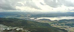
Coat of arms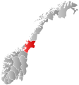
Nord-Trøndelag within
NorwayStjørdal within Nord-Trøndelag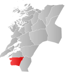
Coordinates: 63°28′30″N 11°10′15″E / 63.475°N 11.17083°ECoordinates: 63°28′30″N 11°10′15″E / 63.475°N 11.17083°E Country Norway County Nord-Trøndelag District Stjørdalen Administrative centre Stjørdalshalsen Government – Mayor (1999) Johan Arnt Elverum (Sp) Area – Total 938.05 km2 (362.2 sq mi) – Land 913.26 km2 (352.6 sq mi) – Water 24.79 km2 (9.6 sq mi) Area rank 117 in Norway Population (2011) – Total 21,659 – Rank 48 in Norway – Density 23.7/km2 (61.4/sq mi) – Change (10 years) 17.3 % Demonym Stjørdaling[1] Time zone CET (UTC+1) – Summer (DST) CEST (UTC+2) ISO 3166 code NO-1714 Official language form Neutral Website stjordal.kommune.no Data from Statistics Norway  Stjørdal (help·info) is a municipality in Nord-Trøndelag county, Norway. It is part of the Stjørdalen region. The administrative centre of the municipality is the town of Stjørdal, also called Stjørdalshalsen. Other villages in the municipality include Elvran, Flornes, Hegra, Hell, Kvithammer, Prestmoen, Skatval, Skjelstadmarka, Sona, and Værnes.
The municipality is known for the village of Hell which is located in the Lånke area of Stjørdal. Hell is especially known for its train station, Hell Station, where you find the old sign saying Gods expedition (meaning "Cargo handling").
Contents
General information
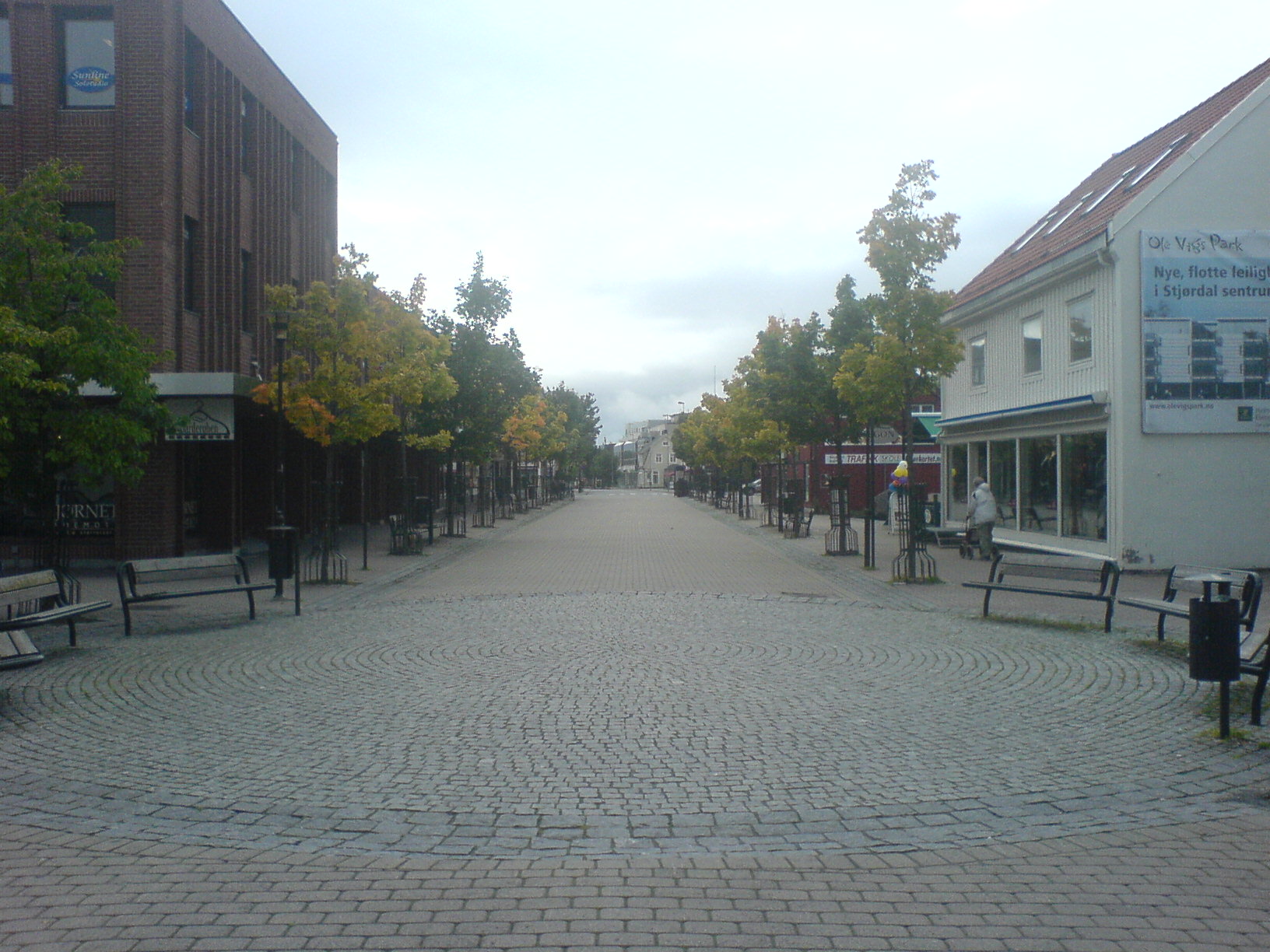
 Pedestrian street in Stjørdal town
Stjørdalen was established as a municipality on 1 January 1838 (see formannskapsdistrikt). On 1 January 1850, Stjørdalen was divided into Øvre Stjørdal and Nedre Stjørdal. Later, Øvre Stjørdal was divided into Hegra and Meråker on 1 January 1874 and Nedre Stjørdal was divided into Lånke, Skatval, and (a smaller) Stjørdal on 1 January 1902. All of these municipalities (except for Meråker) were merged together on 1 January 1962 to form a new, larger Stjørdal municipality.[2]
Name
The Old Norse form of the name was Stjórardalr. The first element is the genitive case of the river name Stjór (now called Stjørdalselva) and the last element is dalr which means "valley" or "dale". The meaning of the river name is unknown.[3]
The pronunciation of the name Stjørdal in the local dialect is [ʃøɽdaɽːɲ] (
 listen).
Coat-of-arms
The coat-of-arms is from modern times, but is inspired by an old seal for the district from 1344. The arms were granted on 25 November 1983. The arms show a gold dragon on a red background. The dragon is derived from the old medieval seal which showed Saint Margareth standing on a slain dragon.[4]
Churches
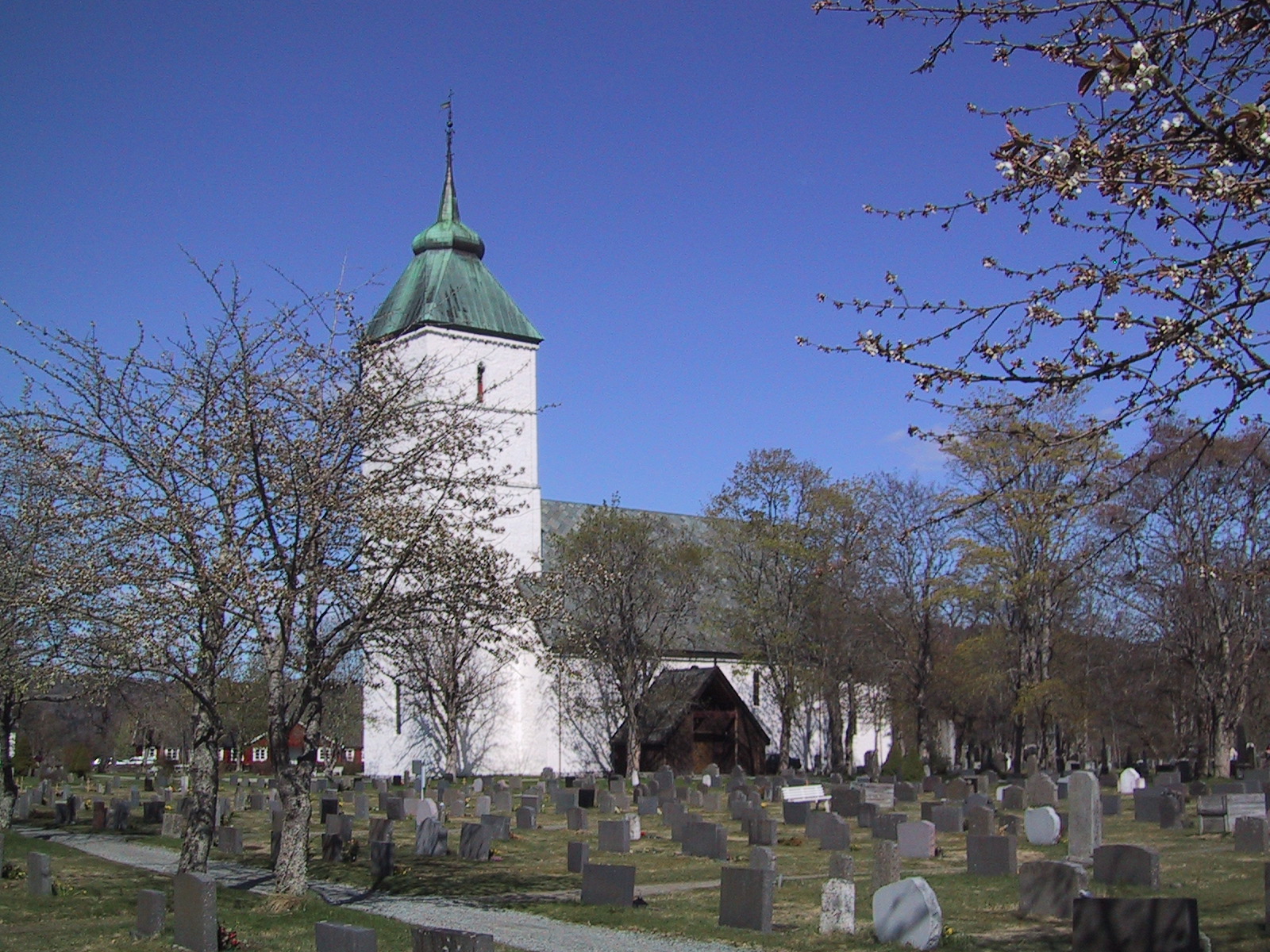
 Værnes Church
The Church of Norway has four parishes (sokn) within the municipality of Stjørdal. It is part of the Stjørdal deanery and the Diocese of Nidaros.
Churches in Stjørdal Parish
(Sokn)Church Name Location
of the ChurchYear Built Hegra Hegra Church Hegra 1783 Flora Chapel Flornes 1936 Okkelberg Chapel Skjelstadmarka 1905 Lånke Lånke Church Lånke 1899 Elvran Chapel Elvran 1893 Skatval Skatval Church Skatval 1901 Stjørdal Værnes Church Prestmoen 1100 History
Historical populations Year Pop. ±% 1951 5,105 — 1960 6,128 +20.0% 1970 13,545 +121.0% 1980 16,107 +18.9% 1990 17,276 +7.3% 2000 18,238 +5.6% 2010 21,375 +17.2% 2011 21,659 +1.3% Source: Statistics Norway.  Steinvikholm Castle in Stjørdal where the last archbishop of Norway resided
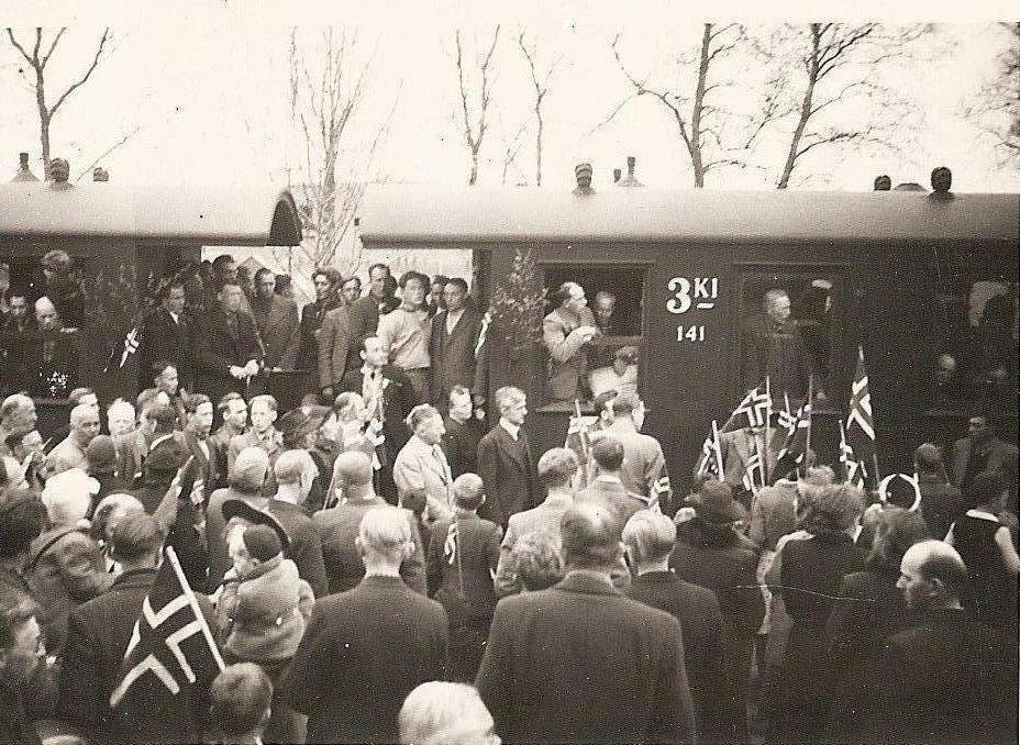
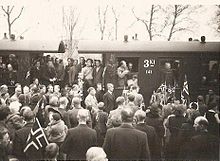 8 May 1945 following years of German occupation
Stjørdal is the location of Steinvikholm Castle, the residence of Norway's last Catholic archbishop, Olav Engelbrektsson. It is located on the Skatval peninsula.
Hegra Fortress is located in the central part of the municipality. It was used as a defense against the Swedish military. It was also used during World War II in the Battle of Hegra Fortress.
Geography
Stjørdal consists of the old municipalities of Skatval, Hegra, Lånke, and Stjørdal. The Stjørdalselva river runs through the Stjørdalen valley, with the Skatval peninsula on the northern side. The Forbordsfjellet mountain sits in the northern part of the municipality. The Skarvan and Roltdalen National Park lies in the eastern part of the municipality, as is a tiny part of the lake Feren.
The village of Stjørdal declared township in 1997. Stjørdal is the fastest growing municipality in Nord-Trøndelag due to its proximity to the city of Trondheim and also to Statoil's presence (it controls a large part of the petroleum activity in the Norwegian Sea from Stjørdal).
Trondheim is only about 35 kilometres (22 mi) from Stjørdal either by road (European route E6) or train (Trønderbanen). Stjørdal is in the process of "growing together" with Trondheim, a show of regional urbanization. The distance to Steinkjer is about 85 kilometres (53 mi), and the towns of Levanger and Verdal are both about 40 to 45 kilometres (25 to 28 mi) to the north. All four of these towns are located on the eastern shore of the Trondheimsfjorden.
Birdlife
The Stjørdal area has a rich bird life with well over 260 recorded species and several good birding localities. Though Stjørdal can not boast of a long coastline (it's only 25 kilometres / 16 miles long) some of best birding areas are to be found along Stjørdalfjorden. Halsøen is virtually situated near the centre of Stjørdal, and can be easily viewed from a number of advantage points from route E6 in the east or Langøra in the west. Formed by the old river outlet, this tidal area is well worth checking. Due to the shallow waters and extensive areas of mud at low tide, Halsøen is used both as a wintering area and a migration stopover point by many species.
Transportation
Stjørdal is a regional transportation centre that is near the regional airport, Trondheim Airport, Værnes, as well as port facilities, European route E6, European route E14, and the Nordlandsbanen railway line going through the municipality from Trondheim to Bodø with stops at Hell Station, Trondheim Airport Station, Stjørdal Station, and Skatval Station. In addition, the Meråkerbanen railway line goes from Hell east to Åre Municipality in Sweden. Stations on that railway line include Hell Station, Hegra Station, Sona Station, and Flornes Station.
References
- ^ "Personnemningar til stadnamn i Noreg" (in Norwegian). Språkrådet. http://www.sprakrad.no/nb-no/Sprakhjelp/Rettskrivning_Ordboeker/Innbyggjarnamn/.
- ^ Jukvam, Dag (1999). "Historisk oversikt over endringer i kommune- og fylkesinndelingen" (in Norwegian). Statistisk sentralbyrå. http://www.ssb.no/emner/00/90/rapp_9913/rapp_9913.pdf.
- ^ Rygh, Oluf (1903) (in Norwegian) (dokpro.uio.no). Norske gaardnavne: Nordre Trondhjems amt (15 ed.). Kristiania, Norge: W. C. Fabritius & sønners bogtrikkeri. pp. 30. http://www.dokpro.uio.no/perl/navnegransking/rygh_ng/rygh_bla.prl?enhid=239079&avid=53117.
- ^ Norske Kommunevåpen (1990). "Nye kommunevåbener i Norden". http://www.ngw.nl/int/nor/s/stjordal.htm. Retrieved 17 November 2008.
External links
- Nord-Trøndelag travel guide from Wikitravel
- Municipal fact sheet from Statistics Norway
- Angling in the Stjørdalselva (river)
Municipalities of Nord-Trøndelag Current 
Former Categories:- Municipalities of Nord-Trøndelag
- Populated places in Nord-Trøndelag
- Stjørdal


Wikimedia Foundation. 2010.