- Maryland Route 115
-
Maryland Route 115
Muncaster Mill Road 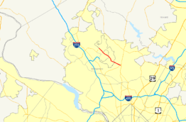
Route information Maintained by MDSHA Length: 5.83 mi[1] (9.38 km) Major junctions West end:  MD 124 in Washington Grove
 MD 28 in Norbeck
East end:  MD 655 in Norbeck
Highway system Maryland highway system
Interstate • US • State • Minor • Former • Turnpikes←  US 113
MD 117  →
→Maryland Route 115 is a Maryland state highway that goes from MD 124 in Washington Grove to MD 655 in Norbeck. The entire route is in Montgomery County.
Contents
Route description
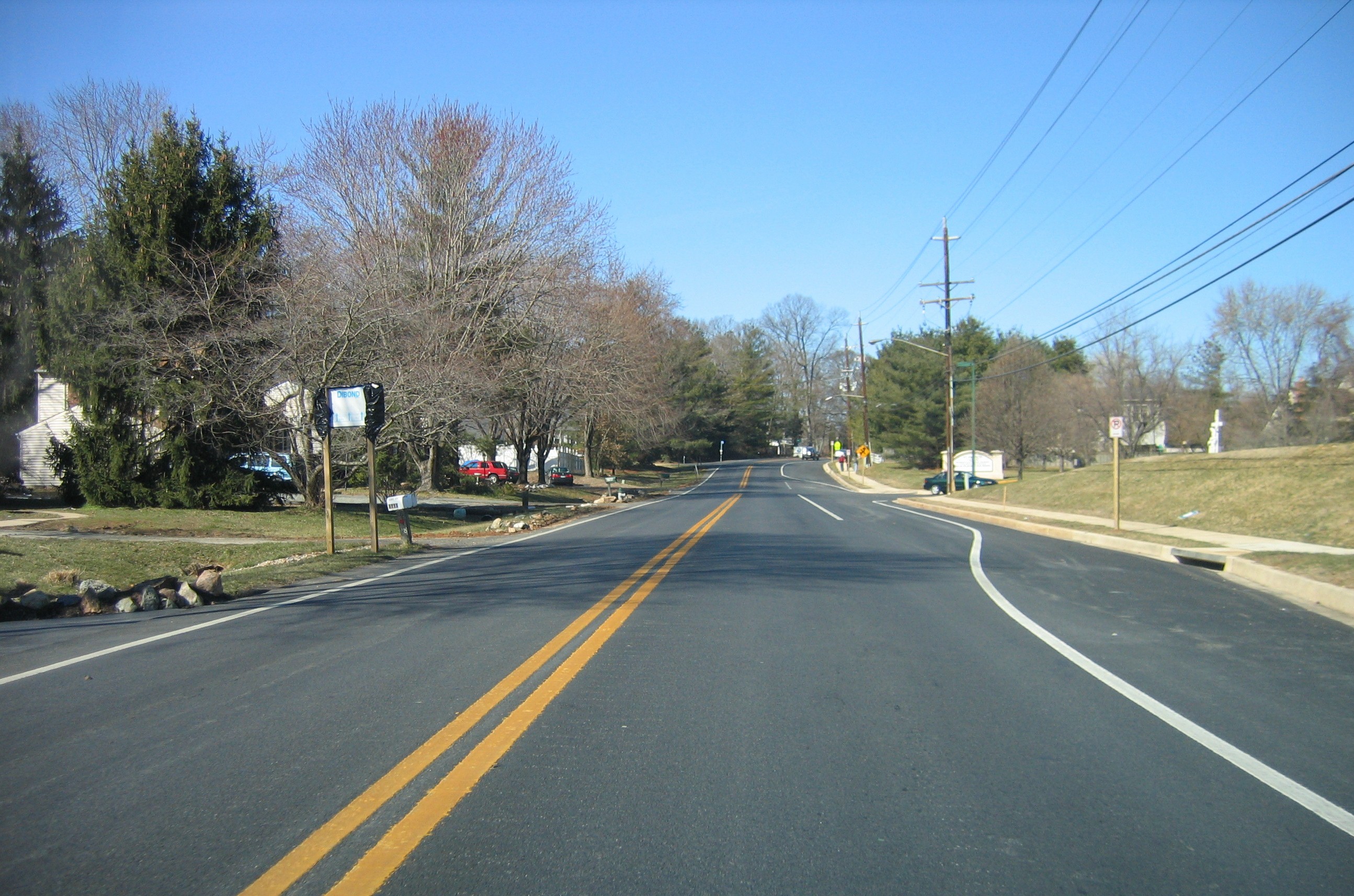
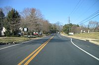 MD 115 westbound in Redland
Maryland Route 115 begins its eastward trek at the divided MD 124 and bears southeast along Muncaster Mill Road along a four-lane, divided alignment. Quickly the road condenses into two lanes and weaves through a short patch of forest with a residential area to the south of it. Crossing Shady Grove Drive, a large divided road, the road passes through Redland and passes through a suburban residential development. Beyond this and exiting the wooded area, it passes by a school and turns south, and then east again into another largely wooded area fronted with homes, coming to an intersection at MD 28 in Norbeck. It continues just beyond this intersection to MD 655, where it ends officially at the old alignment of MD 28, appropriately named "Old MD 28".
Junction list
The entire route is located within Montgomery County.
Location Mile[1] Roads intersected Notes Washington Grove 0.00 MD 124 (Woodfield Road)Western terminus 5.80 MD 28 (Norbeck Road)5.83 MD 655 (Old MD 28)Eastern terminus References
External links
Roads in Montgomery County, Maryland Maryland State Highways 
U.S. Routes Interstate Highways Roads by name Cabin John Parkway · Clara Barton Parkway · Cherry Hill Road · Connecticut Avenue · Georgia Avenue · Montrose Road · New Hampshire Avenue · Randolph Road · Sligo Creek Parkway · Wisconsin Avenue · 16th StreetCategories:- State highways in Maryland
- Roads in Montgomery County, Maryland


Wikimedia Foundation. 2010.