- West Columbia, Texas
-
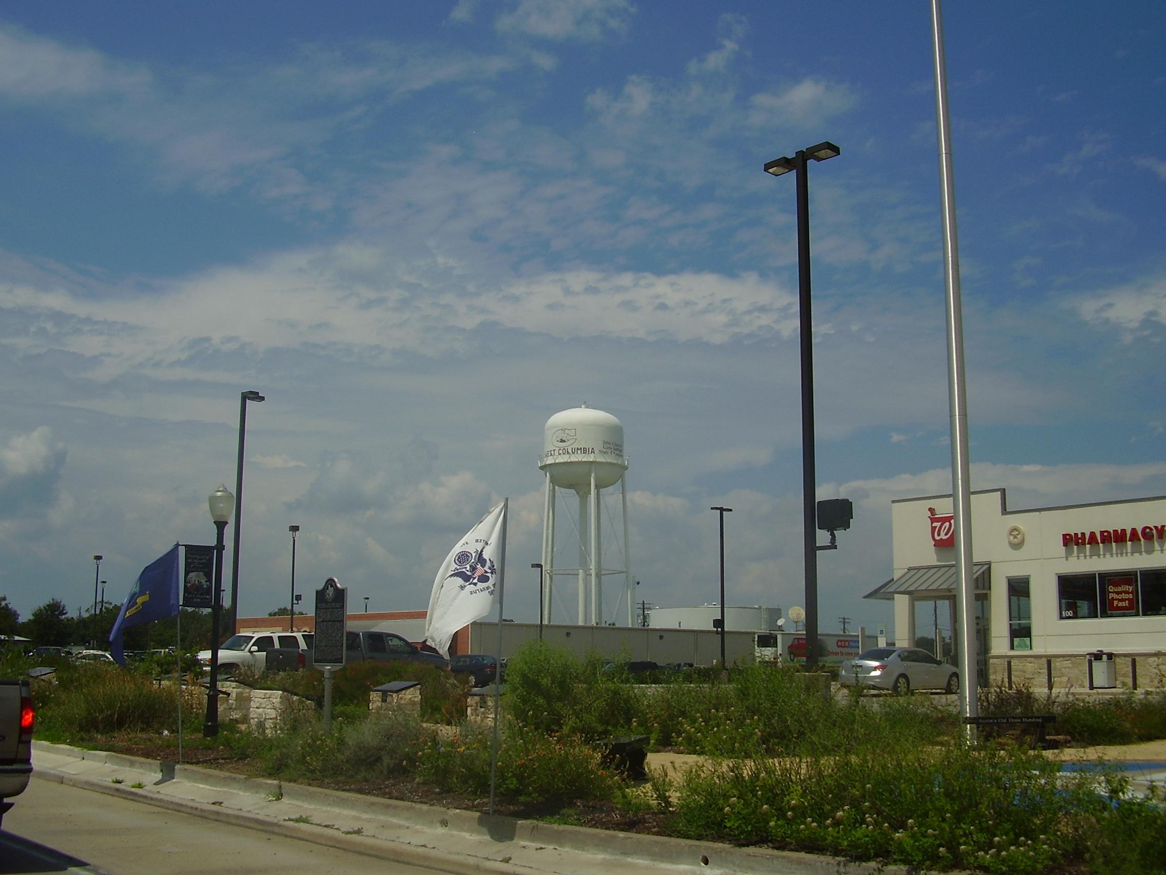
West Columbia, Texas — City — A view of the city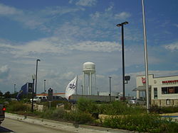 Location of West Columbia, Texas
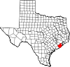
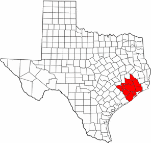
Coordinates: 29°8′29″N 95°38′49″W / 29.14139°N 95.64694°WCoordinates: 29°8′29″N 95°38′49″W / 29.14139°N 95.64694°W Country United States State Texas County Brazoria City of West Columbia Government - Type General Law Municipality - City Manager Debbie Sutherland - Mayor Laurie Beal Kincannon Area - Total 2.6 sq mi (6.6 km2) - Land 2.6 sq mi (6.6 km2) - Water 0.0 sq mi (0.0 km2) Elevation 36 ft (11 m) Population (2000) - Total 4,255 - Density 1,661.9/sq mi (641.7/km2) Time zone Central (CST) (UTC-6) - Summer (DST) CDT (UTC-5) ZIP code 77486 Area code(s) 979 FIPS code 48-77416[1] GNIS feature ID 1371096[2] West Columbia is a city in Brazoria County in the U.S. state of Texas within 50 miles of Eastern Columbia. The population was 4,255 at the 2000 census.
The first Congress of the Republic of Texas was convened in West Columbia on October 1836 (it was then named simply Columbia).
Contents
Geography
West Columbia is located at 29°8′29″N 95°38′49″W / 29.14139°N 95.64694°W (29.141513, -95.647016)[3].
According to the United States Census Bureau, the city has a total area of 2.6 square miles (6.6 km²), all of it land.
Demographics
As of the census[1] of 2000, there were 4,255 people, 1,607 households, and 1,099 families residing in the city. The population density was 1,661.9 people per square mile (641.7/km²). There were 1,755 housing units at an average density of 685.5 per square mile (264.7/km²). The racial makeup of the city was 70.15% White, 19.51% African American, 0.40% Native American, 0.38% Asian, 0.02% Pacific Islander, 7.83% from other races, and 1.72% from two or more races. Hispanic or Latino of any race were 18.05% of the population.
There were 1,607 households out of which 35.5% had children under the age of 18 living with them, 50.0% were married couples living together, 14.0% had a female householder with no husband present, and 31.6% were non-families. 27.6% of all households were made up of individuals and 13.3% had someone living alone who was 65 years of age or older. The average household size was 2.60 and the average family size was 3.19.
In the city the population was spread out with 28.8% under the age of 18, 9.0% from 18 to 24, 27.3% from 25 to 44, 21.8% from 45 to 64, and 13.1% who were 65 years of age or older. The median age was 35 years. For every 100 females there were 88.9 males. For every 100 females age 18 and over, there were 85.0 males.
The median income for a household in the city was $31,115, and the median income for a family was $38,090. Males had a median income of $37,981 versus $19,775 for females. The per capita income for the city was $15,647. About 14.0% of families and 20.0% of the population were below the poverty line, including 24.5% of those under age 18 and 14.3% of those age 65 or over.
Government and infrastructure
The United States Postal Service West Columbia Post Office is located at 350 West Brazos Avenue.
Education
The city is served by the Columbia-Brazoria Independent School District.
Schools that serve the city include West Columbia Elementary School, Barrow Elementary School, Wild Peach Elementary School, West Brazos Junior High School, and Columbia High School. One elementary and the high school are in West Columbia. The junior high and Barrow Elementary are located in Brazoria.
There is a charter school called West Columbia Charter School.
The West Columbia Library is a part of the Brazoria County Library System.
Health Services
West Columbia is served by Central EMS. There is not a hospital within the city limits. However, Sweeny Community Hospital, Brazosport Regional, Angleton-Danbury Medical Center and Matagorda Regional are all within a 30-mile radius.
See also
- ^ a b "American FactFinder". United States Census Bureau. http://factfinder.census.gov. Retrieved 2008-01-31.
- ^ "US Board on Geographic Names". United States Geological Survey. 2007-10-25. http://geonames.usgs.gov. Retrieved 2008-01-31.
- ^ "US Gazetteer files: 2010, 2000, and 1990". United States Census Bureau. 2011-02-12. http://www.census.gov/geo/www/gazetteer/gazette.html. Retrieved 2011-04-23.
External links
 Houston–Sugar Land–Baytown
Counties Austin • Brazoria • Chambers • Fort Bend • Galveston • Harris • Liberty • Montgomery • San Jacinto • Waller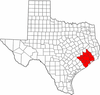
"Principal" cities Other cities Alvin • Angleton • Bellaire • Clute • Deer Park • Dickinson • Freeport • Friendswood • Galena Park • Humble • Jacinto City • Katy • Lake Jackson • La Marque • La Porte • League City • Missouri City • Pasadena • Pearland • Richmond • Rosenberg • South Houston • Stafford • Texas City • West University Place
- For a complete listing, see list of cities and towns in Houston–Sugar Land–Baytown MSA
Unincorporated
areasAtascocita • Channelview • Cloverleaf • Crosby • Cypress • Fresno • Hockley • Klein • Port Bolivar • Spring • The WoodlandsBodies of water Buffalo Bayou • Galveston Bay • Gulf Intracoastal Waterway • Houston Ship Channel • San Jacinto River • Trinity River • Lake Houston • Lake ConroeMunicipalities and communities of Brazoria County, Texas Cities Alvin | Angleton | Brazoria | Brookside Village | Clute | Danbury | Freeport | Lake Jackson | Liverpool | Manvel | Oyster Creek | Pearland‡ | Richwood | Sandy Point | Surfside Beach | Sweeny | West Columbia
Towns Villages CDPs Unincorporated
communitiesAmsterdam | Anchor | Chenango | China Grove | Chocolate Bayou | Danciger | East Columbia | English | Lochridge | Old Ocean | Otey | Rosharon | Snipe | Silverlake | Turtle Cove
Footnotes ‡This populated place also has portions in an adjacent county or counties
Categories:- Populated places in Brazoria County, Texas
- Cities in Texas
- Capitals of former nations
- Former United States state capitals
- Greater Houston


Wikimedia Foundation. 2010.