- Mount Gravatt, Queensland
-
Mount Gravatt
Brisbane, Queensland
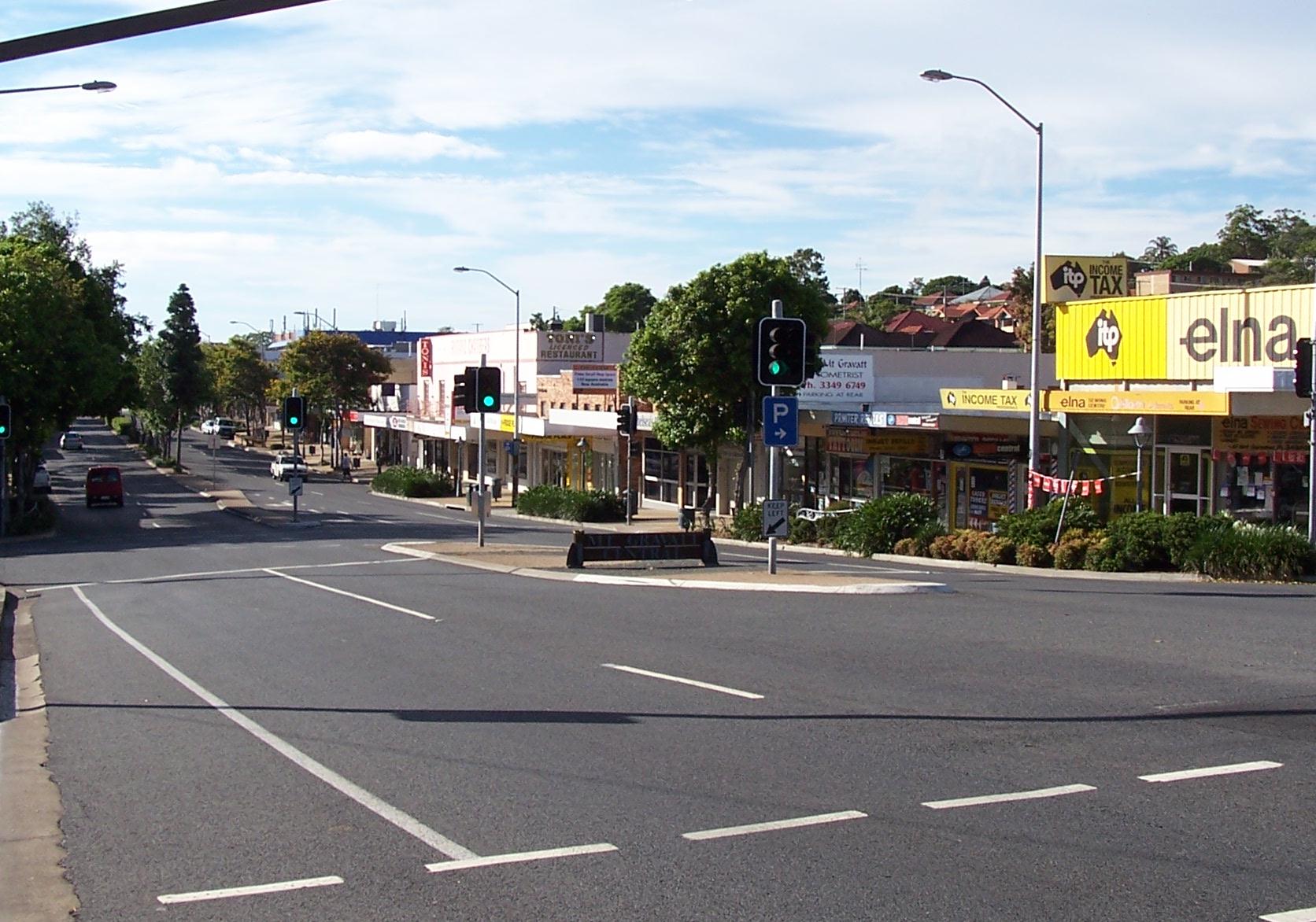
Mount Gravatt Central. Logan Road looking south.Population: 3,090 (2006 census) Postcode: 4122 Area: 2.7 km² (1.0 sq mi) Location: 10 km (6 mi) from Brisbane LGA: City of Brisbane State District: Greenslopes, Mansfield Federal Division: Bonner Suburbs around Mount Gravatt: Holland Park West Holland Park Mansfield Nathan Mount Gravatt Mount Gravatt East Macgregor Upper Mount Gravatt Wishart Mount Gravatt is the name of both a major suburb of Brisbane, Queensland, Australia and a prominent hill in this suburb. The suburb is situated in the south-east of the city and was one of Brisbane's largest. This was before it was divided into Mount Gravatt East, Upper Mount Gravatt and Mount Gravatt South; the last being changed to Wishart in the early 1990s.
Mount Gravatt hill was named in 1840 after Lieutenant George Gravatt who was the commander of the Moreton Bay Settlement for two months in 1839. Gravatt was later transferred to India where he died in 1843.[1]
Between 1953 and 1969 electric trams ran from the suburb into Brisbane's Central Business District (CBD) along Logan Road. As Mount Gravatt was the end of the line, part of the area was known locally as "The Terminus". Since then public transport has been provided by buses operated by Brisbane Transport and a local bus company the Mount Gravatt Bus Service. The South East Busway is connected by a service from Mount Gravatt Central to the Busway terminal at Griffith University.
The people of greater Mount Gravatt are represented by the State parliamentary seats of Mansfield and Mount Gravatt and the federal seats of Bonner, Griffith and Moreton.
The Mount Gravatt Showgrounds are an important centre for cultural and community activities and the site of the annual Mount Gravatt Show, an agricultural fair. The grounds are positioned on Logan Road, opposite the mega-church, Hillsong Brisbane Campus (formerly known as Garden City Christian Church).
Contents
Lookout
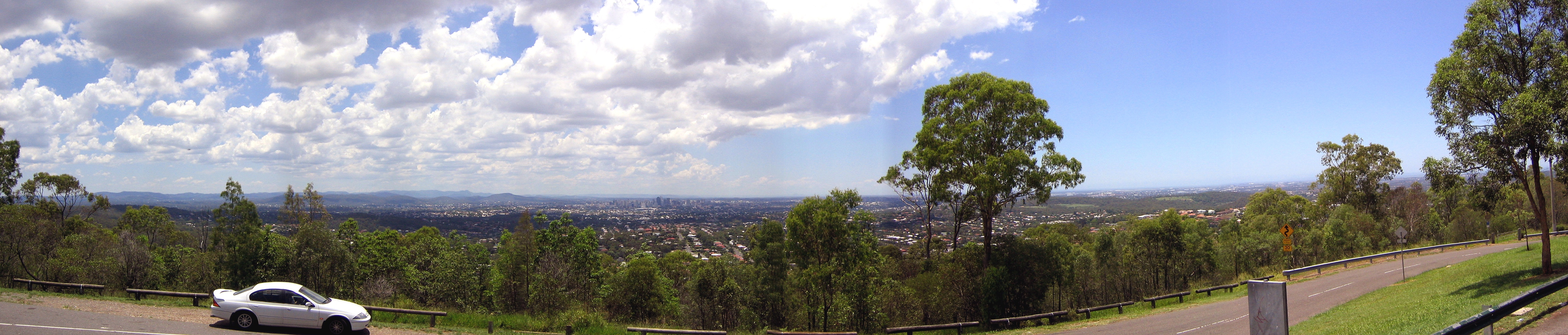
 Panorama from Mount Gravatt, looking north to Brisbane
Mount Gravatt Lookout is accessible via Shire Road which winds its way past water towers up to the lookout carpark and a communications tower. Furthermore, there is a large cave complex located at on a walking trail on the southern slope of the mountain (Latitude: 27.544184º S Longitude:153.076841º E).
Education
Griffith University has its main campus in the suburb. There is also St Agnes Catholic Primary School, St Catherine's School, Mount Gravatt State High School and Mount Gravatt State School.
Sport
- Mount Gravatt is represented by the Mount Gravatt Australian Rules Football Club in the Queensland State League. The club were premiers in 2007.
- The Mount Gravatt Hawks Soccer Club plays in the Brisbane Premier League.
References
External links
- University of Queensland: Queensland Places: Mount Gravatt and Mount Gravatt East
- Mount Gravatt Hawks Soccer Club
- Mount Gravatt Queensland
Coordinates: 27°32′24″S 153°04′05″E / 27.54°S 153.068°ECategories:- Suburbs of Brisbane
- Mountains of Queensland
Wikimedia Foundation. 2010.