- The Gap, Queensland
Infobox Australian Place | type = suburb
name = The Gap
city = Brisbane
state = qld
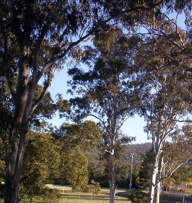
caption = Walton Bridge Reserve at The Gap
lga =Brisbane City Council ,The Gap Ward [ [http://www.brisbane.qld.gov.au/BCC:BASE:2053936520:pc=PC_3023 The Gap Ward] ]
postcode = 4061
pop = 16,063 (2004) [ [http://www.abs.gov.au/AUSSTATS/abs@.nsf/Latestproducts/305051567Population/People12000-2004?opendocument&tabname=Summary&prodno=305051567&issue=2000-2004&num=&view= Australian Bureau of Statistics] ]
area = 12.2
stategov = Ashgrove
fedgov = Ryan
near-nw = Upper Kedron
near-n = Upper Kedron
near-ne = Enoggera
near-w = Enoggera Reservoir
near-e = Ashgrove
near-sw = Brookfield
near-s = Mount Coot-tha
near-se = BardonThe Gap is a leafy and hilly suburb of
Brisbane , inQueensland ,Australia . The suburb is located 12 km west of theBrisbane CBD .Geography
The Gap derives its name from its geographical location of being on foothills in a
valley (i.e. "the gap between hills"). The suburb, The Gap, is located between Mount Coot-tha and Enoggera Hill (both Mount Coot-tha and Enoggera Hill form part of the Taylor Range) as well as Mount Nebo.History
First settled by Europeans in
1860 , The Gap was originally heavily forested. Timber felling was the first industry in the area, and with the removal of the timber the area was turned over to farming. Following World War One the area was broken up into smaller farms for returned servicemen, many of whom farmed poultry and dairy cattle. Many of these farms were too small to be commercially successful.Masons pickle factory use to be located to the east of the Ashgrove Golf Course.A gold mine was located near the entrance to Payne Road Primary School.The
billabong between The Gap State High School and Payne Road Primary School used to be a favourite swimming location and over the years has been home to turtles, eels and platypus. It was named Shepherd's Pool after it was reported a shepherd was killed by aborigines early in the 1800s. His unmarked grave is in the vicinity.Attractions
The district was later subdivided into blocks of land for housing estates. The recreational activities of inhabitants of the suburb are well catered for, with many facilities including many sporting clubs (
Soccer , Squash,Tennis , Athletics,Swimming andGolf etc) and there are a number of lush green parks.The Gap is also where the main entrance to the
Brisbane Forest Park is located. A major bushland area in Brisbane's west, Brisbane Forest Park has many Australian wildlife species, includingmarsupials ,birds ,fish andreptiles . Brisbane Forest Park also has an information and wildlife education centre.Facilities
The suburb has a large-size shopping centre (which extends from Walton Bridge Reserve to The Gap State High School and Payne Road State School). There are also churches of many faiths, as well as a local
Police Station in the suburb. AshgroveFire Brigade , which is at West Ashgrove, is also in close proximity to The Gap.The
Enoggera Dam is also located on the edge of The Gap.chools
The primary and secondary schools in The Gap include:
*The Gap State High School (public state school)
*The Gap State School (public state school)
*Hilder Road State School (public state school)
*Payne Road State School (public state school)
*St Peter Chanel Primary School (independent school)Transport
By Road, the main arterial road through The Gap is "Waterworks Road", which heads east through the suburbs St Johns Wood, Ashgrove and Red Hill and then, as "Musgrave Road", it continues to
Brisbane city. Waterworks Road was widened, from two lanes to four lanes, along the 8 km stretch of road between The Gap and Red Hill between July 1999 and December 2003. Total cost was $50 million.Bus services to The Gap
City bus routes380 and 381.:: The two bus services travel along the same route until they diverge at the Payne Road and Waterworks Road intersection
— the 380 bus continues to travel along Waterworks Road to Hilder Road, while the 381 travels along Payne Road.::*TL Route Display|380::*TL Route Display|381
Express, BUZ, and Rocket bus routes
*382 The Gap (Settlement Road) — West Ashgrove, Bardon, Paddington, City, Fortitude Valley
*383 The Gap (Payne Road) — West Ashgrove, Bardon, Paddington, City, Fortitude Valley
*384 The Gap (Waterworks Road) — West Ashgrove, Ashgrove, Spring Hill, City
*385 The Gap (Waterworks Road) — West Ashgrove, Bardon, Paddington, Cultural Centre, City:::: The 385 bus travels toBrisbane Forest Park hourly during off-peak, when it is the final stop.:::: — at all other times, the Enoggera Reservoir is the final stop.::*TL Route Display|382::*TL Route Display|383::*TL Route Display|384::*TL Route Display|385
For further information about The Gap bus services, please check the official [http://timetables.translink.com.au/timetables/ Translink bus timetables]
References
Photos of The Gap
External links
* [http://www.ourbrisbane.com/suburbs/the-gap ourbrisbane.com website - The Gap section] - official Brisbane City Council website
* [http://www.brisbaneforestpark.qld.gov.au/index.html Brisbane Forest Park, Mount Nebo Road, The Gap] - official website (home page)
Wikimedia Foundation. 2010.