- Oxley, Queensland
-
Oxley
Brisbane, Queensland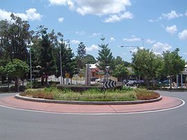
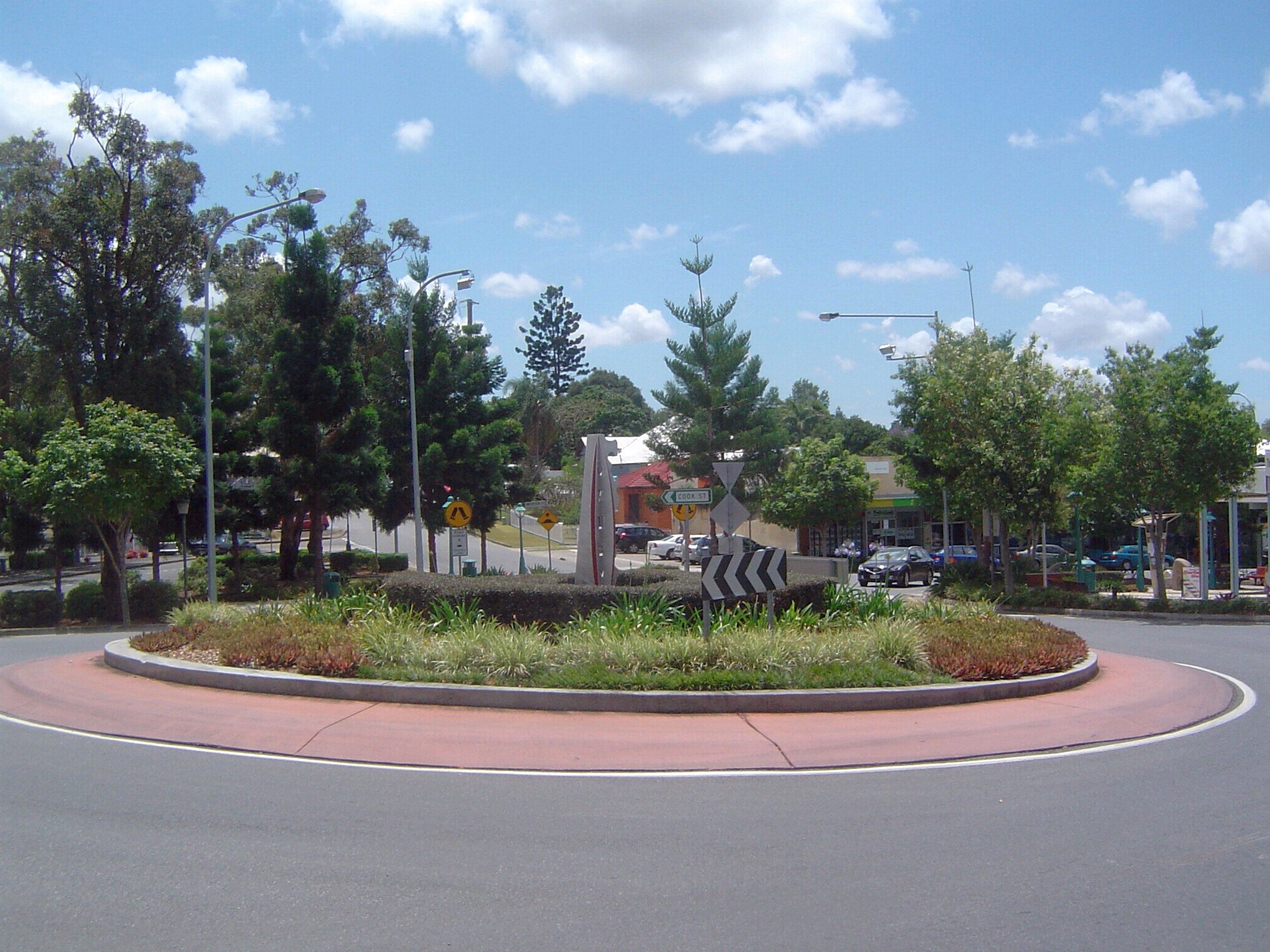
Roundabout at Oxley central, 2009Population: 6,376 (2006 census)[1] Established: 1851 Postcode: 4075 Location: 15 km (9 mi) from Brisbane GPO LGA: City of Brisbane State District: Federal Division: Oxley Suburbs around Oxley: Seventeen Mile Rocks Fig Tree Pocket Corinda Darra Oxley Rocklea Durack Willawong Archerfield Oxley is a south-western suburb of Brisbane located approximately 11 km from the Brisbane CBD. It was named after the early Australian explorer John Oxley.[2] The suburb supports a mix of residential, retail and industrial land use.
Oxley is bounded to the north by the Brisbane River and Oxley Creek flows along the eastern edge.[2] In the east the environment is shaped by flood plains, which experience major flooding and flash-flooding. Western parts of the suburb are characterised by rolling hills with clay-laden soils.
Contents
Features
Oxley has two golf courses and a golf driving range—Oxley Golf Course located on Boundary Road, and Corinda Golf Course located on Cliveden Avenue, the latter of which has now been purchased by Brisbane Boys College as their playing fields along with the driving range. Oxley also contains a lawn bowls club, the Canossa Private Hospital, the Queensland Police Service's training academy, two highway motels, a war memorial, post office, mosque and a few churches.
Stores include an Aldi supermarket, a smaller Foodworks grocery store and a McDonalds restaurant. Retailers with outlets in Oxley include Harvey Norman, Bunnings Warehouse, Officeworks, Super A-mart, The Good Guys and there is a 1st Choice liquor store. The suburb has three petrol service stations and a few landscaping material suppliers in the western parts. With an easily accessed supply of clay in the area PGH Bricks & Pavers has one of two Queensland production plants located here.[3]
The new Austral Bricks quarry site in Douglas Street, as well as two other plots of vacant land in the area have been converted to residential estates, providing significant housing to a region and growing city, where strong demand is not being met by supply. The quarry was originally owned by Brittain Bricks. For many years the site was a brickworks, sourcing clay directly from adjacent pits. After production stopped, the kiln stack remained intact. During the mid-1990s the tall structure was removed as it was attracting lighting strikes.
Transport
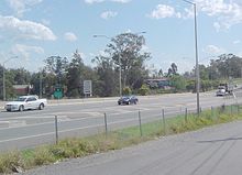 Ipswich Motorway in Oxley, 2008
The Ipswich Motorway traverses Oxley and the train from Brisbane to Ipswich has an station at Oxley, and is connected to a number of suburbs via bus services. A CityExpress bus stop on Blunder Road links Inala Plaza bus station to the inner city using Ipswich Road. Oxley Road connects the Ipswich Motorway to the suburb of Indooroopilly via the Walter Taylor Bridge.[2]
Demographics
According to the 2006 Australian Census the suburb has a population of 6,376 persons.[1] 89% of the population are Australian citizens, with 26% born overseas.[1] The median household income in Oxley is A$1,115 per week, just above the national median.[1] 91% of houses in the suburb are stand alone, including many Queenslanders while 7% are apartments and 2% consist of townhouses.[1] The median house price is valued at A$ 409,000.[4]
History
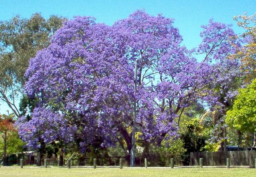
 Jacaranda tree in Mabel Street, 2004
19th century
The first land sale that covered parts of today's Oxley occurred in 1851.[5] Oxley once covered a larger area including the suburbs of Chelmer, Graceville and Corinda to the north. It extended to the south into the current suburbs of Willawong and Durack. The first subdivision of residential lands occurred in 1864 near Douglas Street.[5] Although the railway through the suburb connected Oxley to the rest of Brisbane it was the road to Ipswich that defined the suburb's early development.[5]
The suburb was a stop-over point on the Cobb & Co coach route west to the Darling Downs. The first hotel in Oxley was built in 1860 close to Oxley Creek on a rise near Factory Road.[5] It attracted other businesses to the area and provided refreshments for travelers between Brisbane and Ipswich. The hotel soon gained a reputation as a venue where drinking and dancing occurred well into the morning hours.[5] The hotel was moved several times due to flooding which was not a deterrent to the licensee. By 1892 a brick hotel has been built on the corner of Oxley Road and Ipswich Road, the site of a public bar still open today.
In 1870 the first school in Oxley was opened. A small creamery was operating in 1873, most probably located near Factory Road in Oxley's south east parts.[5] The railway station was opened in 1874.[5] This led to the establishment of a second subdivision in 1876, referred to as the Township of Oxley which was centered around the train station. It consisted of 140 allotments with the lower ones experiencing periodic inundation. In the same year the construction of the first police station was completed.[5] Dairying became common in the area during the 1890s. The 1893 Brisbane flood halted housing construction in the lower parts of Oxley for many years.[5] William Brittain moved his brick making operations to a 200-acre (0.81 km2) site on Douglas Street in 1899.[5]
20th century
By 1904 the "Bacon Factory" as it was locally known as, which produced not only bacon but also cheese, ham and other small goods was established.[5] Because of regular flooding the Oxley police station was moved in 1911, to a site where the police academy currently is.[5] The Oxley Progress Association was founded in 1917. It built the small hall in Station Road and support the establishment of the Oxley War Memorial. This community group was still active in the early 1990s. During this time the Darra cement works on the western edge of Oxley had plans for a major expansion. With the help of the Oxley Progress Association residents were successful in stopping this development. In the 1960s the group played a major role in the proclamation of Queensland's Clean Air Act.[5]
The Oxley war memorial to the fallen was opened in 1920.[5] The Oxley Golf Club was established in 1928.[6] A Methodist church was built in 1930 and a Presbyterian church in 1961.[5] The Oxley Scout Group was formed in 1951 and in 1955 the Oxley fire station was established. An ambulance station was built in the suburb in 1961 but was moved to Durack in 2002.[5] Oxley High School was opened in 1966 and then closed in 2000. The bus/rail interchange at Oxley station was built in 1977.[5]
21st century
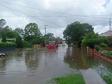 Oxley Station Road about 17 hours prior to the 2011 Queensland flood peak
In 2003, Oxley was one of a number of suburbs that benefited from the Suburban Community Improvement Programme.[citation needed] Landscaping and tree planting around Oxley Station and the beautification of the nearby roundabout and footpaths were some of the activities undertaken by the Brisbane City Council to improve the area's appearance. A second tavern on Blunder Road was opened in 2003.
The 2010–2011 Queensland floods inundated many properties along the main roads of Oxley Road, Blunder Road and the Ipswich Motorway as well as at least ten minor roads.
See also
References
- ^ a b c d e Australian Bureau of Statistics (25 October 2007). "Oxley (Brisbane City) (State Suburb)". 2006 Census QuickStats. http://www.censusdata.abs.gov.au/ABSNavigation/prenav/LocationSearch?collection=Census&period=2006&areacode=SSC31415&producttype=QuickStats&breadcrumb=PL&action=401. Retrieved 2009-10-17.
- ^ a b c "Oxley". ourbrisbane.com. Brisbane City Council. http://www.ourbrisbane.com/suburbs/oxley. Retrieved 2009-10-14.
- ^ "About PGH". CSR Limited. http://www.pghbricks.com.au/About/Default.aspx. Retrieved 2009-10-18.
- ^ "Oxley suburb profile". domain.com.au. Fairfax Digital. http://www.domain.com.au/public/SuburbProfile.aspx?mode=research&suburb=Oxley&postcode=4075. Retrieved 2009-10-17.
- ^ a b c d e f g h i j k l m n o p q Fones, Ralph (2006). Oxley! A mind of its own:a history of a suburb with attitude. 1850 - 1950. Oxley-Chelmer History Group. ISBN 0975146629.
- ^ Don Gregory. "Oxley Golf Club Inc.". http://www.oxleygolfclub.com.au/. Retrieved 2009-10-22.
External links
Coordinates: 27°34′S 152°59′E / 27.567°S 152.983°E
Categories:- Suburbs of Brisbane


Wikimedia Foundation. 2010.