- Mount Bellenden Ker
-
Mount Bellenden Ker Location in Queensland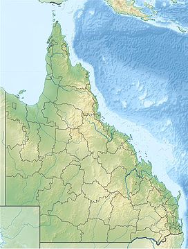
 Mount Bellenden Ker
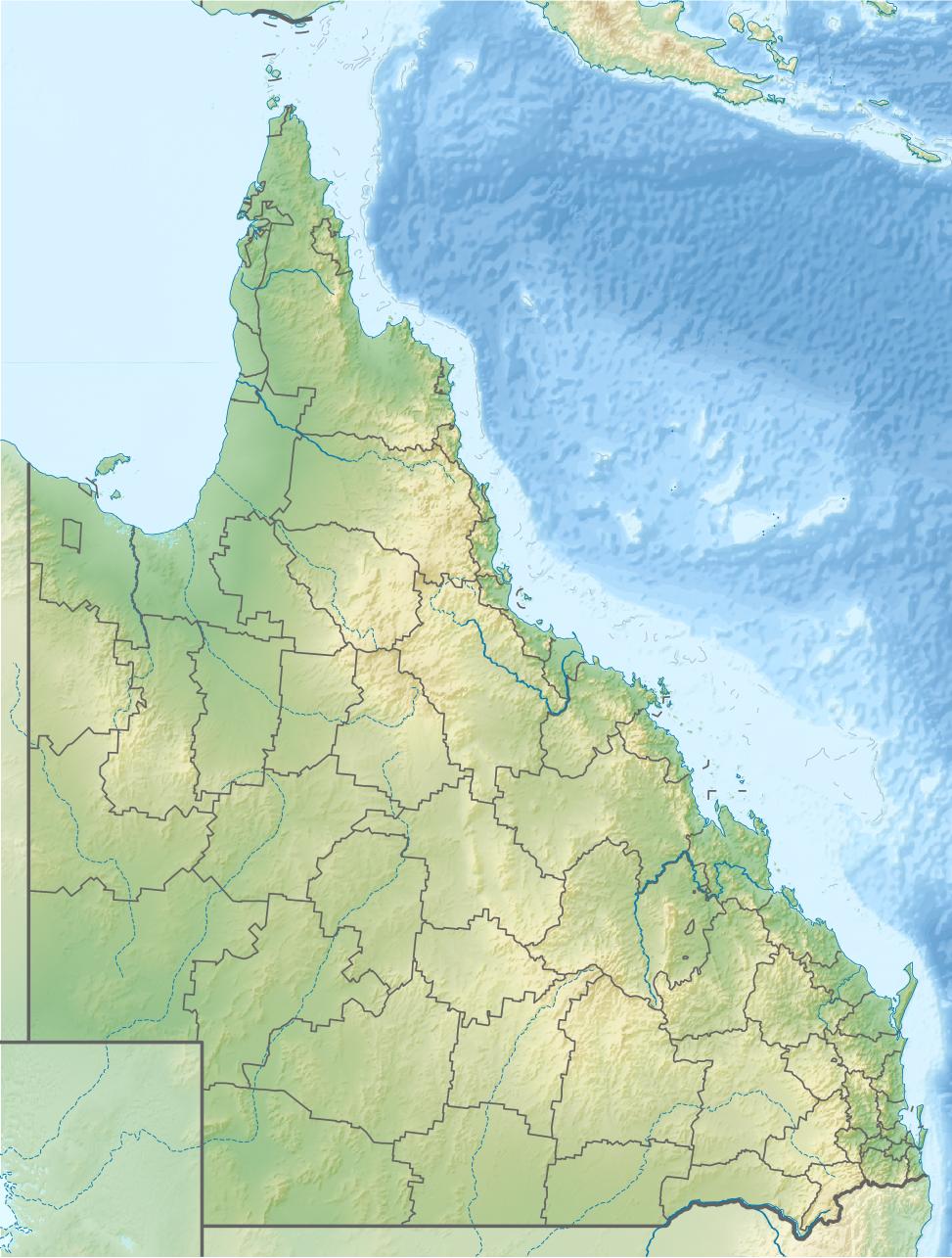
Elevation 1,593 m (5,226 ft) Location Location Queensland, Australia Range Bellenden Ker Range Coordinates 17°15′51″S 145°51′14″E / 17.26417°S 145.85389°ECoordinates: 17°15′51″S 145°51′14″E / 17.26417°S 145.85389°E Mount Bellenden Ker (1,593 m/5,226 ft) is the second highest mountain in Queensland, Australia. It is named after the botanist John Bellenden Ker Gawler. Located 60 km south of Cairns near Babinda, it is adjacent to Mount Bartle Frere, the state's highest peak, part of the Bellenden Ker Range which is also known as the Wooroonooran Range. The two mountains dominate the Josephine Falls section of the Wooroonooran National Park.[1] Both peaks are made of resistant granite and are remnants of an escarpment that has been eroded by the Russell and Mulgrave Rivers.
Several television transmitter towers have been built on the mountain. The only access to the television transmitter site and the mountain top weather station is by a privately owned cable car.[2]
Contents
Rainfall records
The rain gauge at its summit records an annual average rainfall of 8,312 mm (327.2 in), making it the wettest meteorological station in Australia. It also holds the record for the highest rainfall in a calendar year of 12,461 mm (490.6 in) in 2000 and the highest rainfall in Australia for a calendar month of 5,387 mm (212.1 in) in January 1979.[3]
In 2006, the mountain received more rainfall, 9,800 mm (390 in) than any other part of Australia.[4] This was primarily due to two severe tropical cyclones passing close to the mountain. In 2010, Queensland's wettest year on record, the top station on the mountain recorded 12,438.4 mm (489.70 in), just under the 2000 record.[5]
History
In 1873, Walter Hill, Queensland's first Colonial Botanist undertook an expedition to northern Queensland to collect native plants and included a trip to Mount Bellenden Ker. In the same year Robert Arthur Johnstone climbed the peak while exploring the coastal lands south of Cooktown with George Elphinstone Dalrymple.[6]
Another expedition to the summit, led by Archibald Meston (1851-1924), was conducted in early March to early February 1889.
See also
References
- ^ Shilton, Peter (2005). Natural areas of Queensland. Mount Gravatt, Queensland: Goldpress. pp. 74. ISBN 0-9758275-0-2.
- ^ Sarah Elks (30 April 2011). "On top of world, never rains but it pours". The Australia (News Limited). http://www.theaustralian.com.au/news/nation/on-top-of-world-never-rains-but-it-pours/story-e6frg6nf-1226047232706. Retrieved 26 June 2011.
- ^ "Media release: Queensland site sets Australian rainfall record". Bureau of Meteorology. 2001. http://www.bom.gov.au/announcements/media_releases/ho/010105.shtml. Retrieved 2006-04-24.
- ^ "2006 a year of 'extremes' for Qld weather". ABC News Online. Australian Broadcasting Corporation. 2007-01-04. http://www.abc.net.au/news/australia/qld/cairns/200701/s1821277.htm. Retrieved 2009-07-30.
- ^ "Queensland in 2010". Annual Climate Summary for Queensland. Bureau of Meteorology. 4 January 2011. http://www.bom.gov.au/climate/current/annual/qld/summary.shtml. Retrieved 26 June 2011.
- ^ Dorothy Jones. "Johnstone, Robert Arthur (1843 - 1905)". Australian Dictionary of Biography Online Edition. Melbourne University Press. http://adbonline.anu.edu.au/biogs/A040550b.htm. Retrieved 26 June 2011.
External links
Categories:- Mountains of Queensland
- Far North Queensland
Wikimedia Foundation. 2010.