- Mount Superbus
-
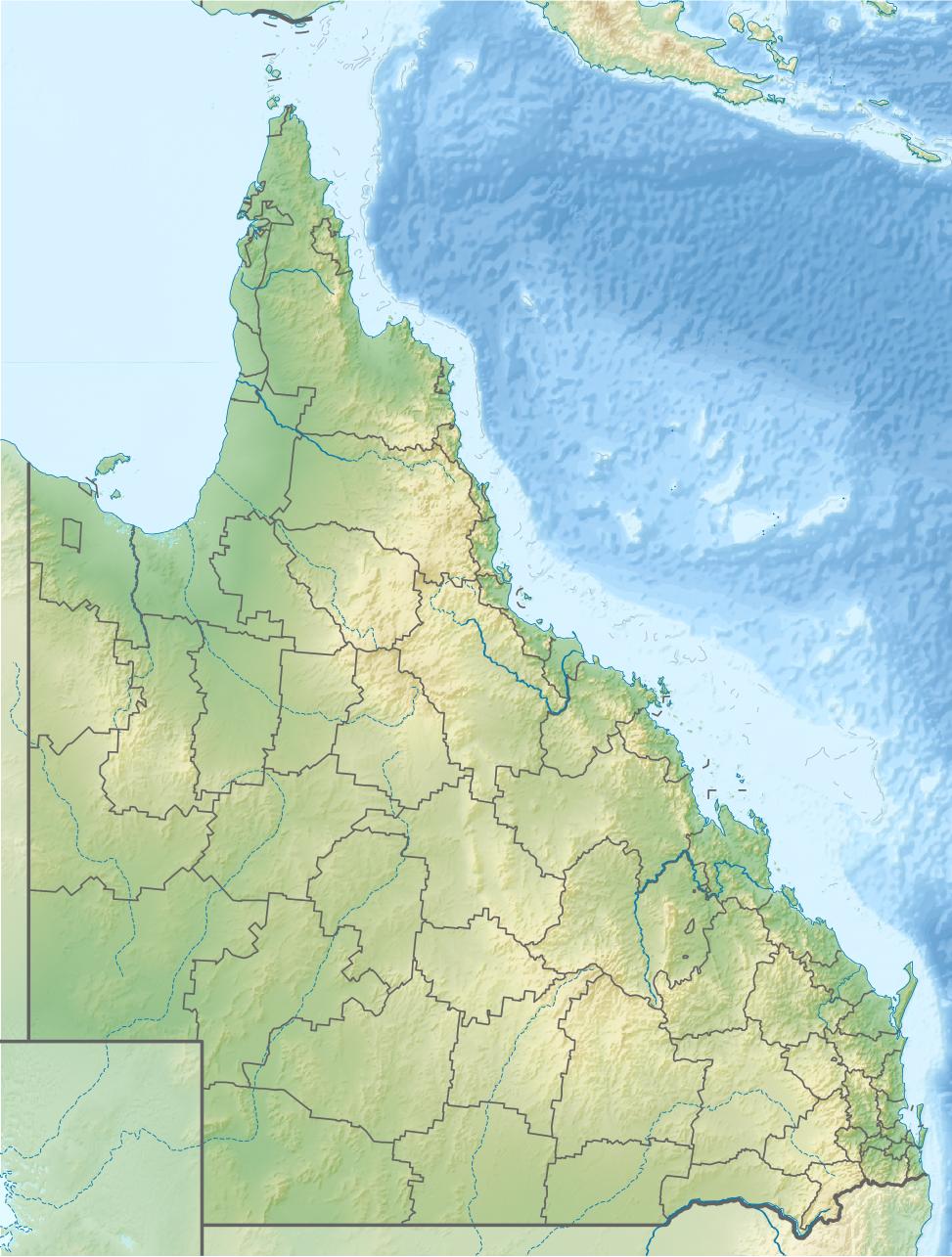
Mount Superbus Queensland, Australia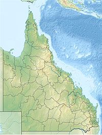
 Mount Superbus
Elevation 1,375 m (4,511 ft) Location Range Main Range Coordinates 28°12′59″S 152°27′59″E / 28.21639°S 152.46639°ECoordinates: 28°12′59″S 152°27′59″E / 28.21639°S 152.46639°E Geology Type Volcanic plug Mount Superbus lies 150 km (93 mi) south-west of Brisbane and is South East Queensland's highest peak at 1375 metres (4500 feet).[1] At this elevation it is the third highest peak in Queensland. Only Mount Bellenden Ker at 1593 m and Mount Bartle Frere at 1622 m in Far North Queensland are higher.
It has an extensive logging history dating back to the mid-19th century. Mount Superbus was originally covered in dense hoop pine forests. Red cedar and other valuable timbers were also heavily logged in the area. It is now part of the Main Range National Park.
The peak is a remnant of the Main Range shield volcano which erupted between 25 and 22 million years ago.[2]
On the southern most peak just below the summit lies the wreck of a World War II Lincoln bomber. It crashed into the mountain in the early hours of Easter Saturday morning on 9 April 1955, during a medical evacuation of a sick baby from Townsville to Eagle Farm airfield in Brisbane. The crew of four RAAF personnel and the two passengers were all killed in this tragic accident. Most of the wreckage still lies near the summit and is a popular day walk for bushwalkers.
The Condamine River rises from a spring located on the western slopes of Mount Superbus. Teviot Brook, a major tributary of the Logan River, has it headwaters on the eastern facing slopes of the mountain.
See also
- List of mountains in Australia
- Wilsons Peak
References
- ^ "About Main Range, Goomburra, Queen Mary Falls". The State of Queensland (Environmental Protection Agency). http://www.derm.qld.gov.au/parks/main-range/about.html. Retrieved 1 October 2010.
- ^ Neville Stevens and Warwick Willmott. "The Main Range" (pdf). Rocks and Landscape Notes. Geological Society of Australia. http://www.qld.gsa.org.au/BBMain.pdf. Retrieved 2009-07-01.
Categories:- Mountains of Queensland
Wikimedia Foundation. 2010.