Mount Cordeaux

Mount Cordeaux
Mount Cordeaux

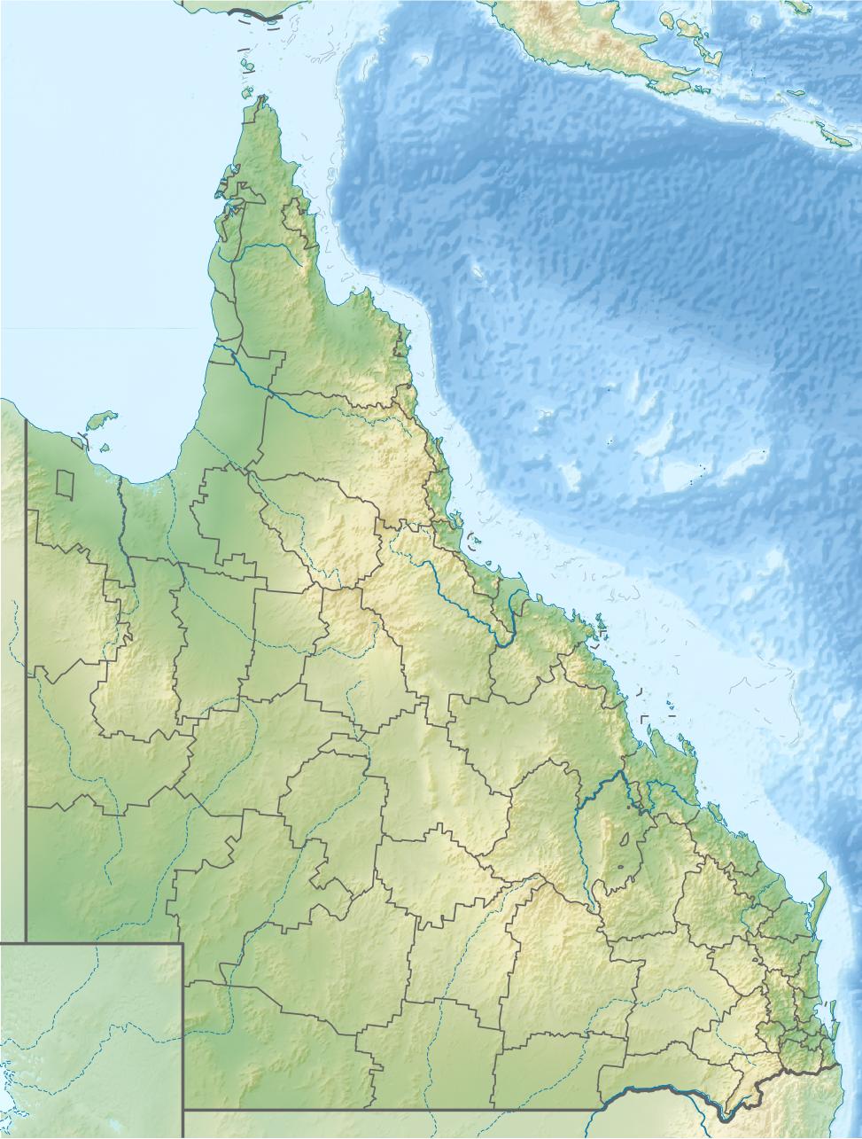
Mount Cordeaux is to the right of gap in the range
Elevation 1,135 m (3,724 ft)
Location
Mount Cordeaux is located in Queensland
Mount Cordeaux
Queensland, Australia
Range Main Range
Coordinates 28°03′00″S 152°24′00″E / 28.05°S 152.4°E / -28.05; 152.4Coordinates: 28°03′00″S 152°24′00″E / 28.05°S 152.4°E / -28.05; 152.4
Geology
Type Volcanic
Climbing
Easiest route Walking track

Mount Cordeaux is a mountain near Brisbane, Australia. It lies to the immediate north of Cunninghams Gap in the Main Range National Park. It is known to the Aboriginal People as Niamboyoo and rises 1,135 m.[1]

A series of graded trails leads to a lookout just below the summit. From the summit other Scenic Rim peaks can be seen, as can the Fassifern Valley below and the Mistake Range to the north east. Walkers should be aware that there are hazardous, sheer cliffs along the tracks.[1]

The first European to discover and name the mountain was Allan Cunningham in 1828. It was named after William Cordeaux who was the assistant to Sir Thomas Mitchell, the Surveyor-General.[2]

Vegetation on the lower parts in mostly rainforest. In higher areas montane heath and grasstrees are found. The giant rock lily grows well on the slopes of Mount Cordeaux.[3]

See also

References

  1. ^ a b "About Main Range, Goomburra, Queen Mary Falls". Department of Environment and Resource Management. 1 April 2011. http://www.derm.qld.gov.au/parks/main-range/about.html#mount_cordeaux. Retrieved 29 June 2011. 
  2. ^ "Main Range National Park: Nature, culture and history". Department of Environment and Resource Management. 1 April 2011. http://www.derm.qld.gov.au/parks/main-range/culture.html. Retrieved 29 June 2011. 
  3. ^ Seeing South-East Queensland (2nd ed.). RACQ. 1980. p 72. ISBN 0-909518-07-6

Wikimedia Foundation. 2010.

Игры ⚽ Нужно сделать НИР?

Look at other dictionaries:

  • Mount Mitchell (Queensland) — Mount Mitchell The eastern slopes of Mount Mitchell Elevation 1,168 m (3,832 ft) …   Wikipedia

  • Mount Kembla — Wollongong, New South Wales View of Mount Kembla from Mount Nebo …   Wikipedia

  • Cordeaux Heights, New South Wales — Cordeaux Heights New South Wales Population: 5,067 …   Wikipedia

  • Mount Keira — Wollongong, New South Wales Overlooking Wollongong Harbour and North Wollongong to Mount Keira …   Wikipedia

  • Mount Ousley, New South Wales — Mount Ousley Wollongong, New South Wales Population: 1,685[1] Postcode: 2519 …   Wikipedia

  • Mount Warrigal, New South Wales — Mount Warrigal Wollongong, New South Wales Aerial view from east Population …   Wikipedia

  • Mount Pleasant, New South Wales — This article is about a suburb of Wollongong. For an area in Penrith, see Cranebrook, New South Wales. Mount Pleasant Wollongong, New South Wales Population: 906[1 …   Wikipedia

  • Marshall Mount, New South Wales — Marshall Mount New South Wales Sunset at Marshall Mount Established …   Wikipedia

  • List of mountains in Australia — This list is incomplete; you can help by expanding it. See also: List of mountains: Australia. This is a list of mountains in Australia. These are some of the highest mountains in Australia Contents 1 Highest point in each State/Territory …   Wikipedia

  • Principal national parks of the world — ▪ Table Principal national parks of the world Africa Europe and Russia Asia North America and the Caribbean Australia and Oceania South America Africa country national park date area description protected status national park status square miles… …   Universalium

Share the article and excerpts

Direct link
Do a right-click on the link above
and select “Copy Link”