- Stretton, Queensland
Infobox Australian Place | type = suburb
name = Stretton
city = Brisbane
state = qld
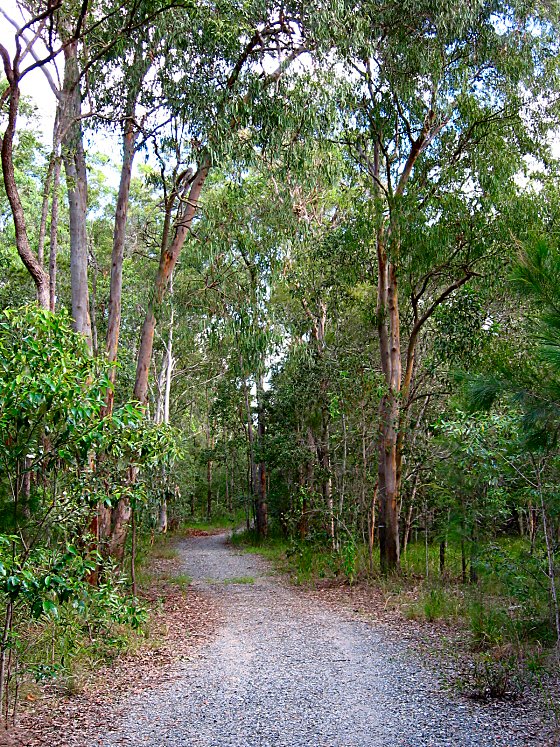
caption = Track into Karawatha Forest at Stretton
fedgov = Moreton
stategov =Electoral district of Stretton
lga = Brisbane
postcode = 4116
pop = 3,776 (2006 census)
pop_footnotes = [Census 2006 AUS|id=SSC31507|name=Stretton (Brisbane City) (State Suburb)|quick=on|accessdate=2008-02-28]
dist1 = 18
location1=Brisbane GPO
near-nw = Sunnybank Hills
near-n = Runcorn
near-ne = Kuraby
near-w = Calamvale
near-e = Karawatha
near-sw = Drewvale
near-s = Drewvale
near-se = KarawathaStretton is a
suburb on the south side ofBrisbane ,Australia . It is 17 kilometres from the Brisbane Central Business District, and borders the suburbs of Calamvale, Sunnybank Hills, Karawatha, Kuraby, and Drewvale.History
In the early 1800s, Stretton and many of today's suburbs around the Sunnybank area were part of a vast area known as Coopers Plains. In 1861, Governor Bowen declared a wide area that included Eight Mile Plains to Stretton as a Brisbane Agricultural Reserve. [http://www.ourbrisbane.com/living/suburbs/stretton/history/] This agricultural reserve was originally used as a source of timber, but when it was found to be good farming land, settlers quickly turned it into farms that produced sought-after fruit, vegetables, and poultry.
Stretton was gazetted as a suburb of Brisbane in 1971, and was named after George Stretton, who settled in the area in the 1880s. George Stretton was born in 1827 near Derby in England. [http://www.brisbites.com/suburbView.asp?suburb=131&topic=5] After immigrating to Australia he became the first postmaster at Browns Plains in 1872, while at the same time he and his family ran a hotel at Browns Plains.
Population
More than 65 per cent of households in Stretton are couples with children; 22 per cent are couples without children, and 10 per cent are single-parent households. In 1989 there was controversy regarding the sale of land to Asian investors, [http://www.ourbrisbane.com/living/suburbs/stretton/home/] and there is a large Asian population in the suburb today. With rare exceptions, the dwellings in Stretton are stand-alone houses — generally modern, brick and tile. Houses in the north-west corner of Stretton include many huge, multi-storey mansions.
Environment
A military map from 1922 shows only four houses in the area that is now Stretton. In the 2006 census, there were 3776 residents, and more areas have been cleared and built on since then.
The northern part of Stretton includes several hills, but the land flattens out towards the south. The southern part has more vegetation, as it joins
Karawatha Forest to the south-east and theCalamvale Creek wetlands on the south-west.Facilities
There are no churches in Stretton.
Stretton State College is located at the southern (Drewvale) end of the suburb.References
External links
* [http://www.brisbites.com/suburbView.asp BRISbites]
* [http://www.ourbrisbane.com/living/suburbs/stretton/home/ Our Brisbane]
* [http://www.ourbrisbane.com/living/suburbs/stretton/history/ History of Stretton]
* [http://www.ourbrisbane.com/living/suburbs/stretton/reiq/ Real estate profile of Stretton]
* [http://calamvalecreek.awardspace.com/index.html Critters of Calamvale Creek wildlife of Calamvale and Stretton]
Wikimedia Foundation. 2010.