- Mountain Mesa, California
-
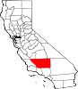
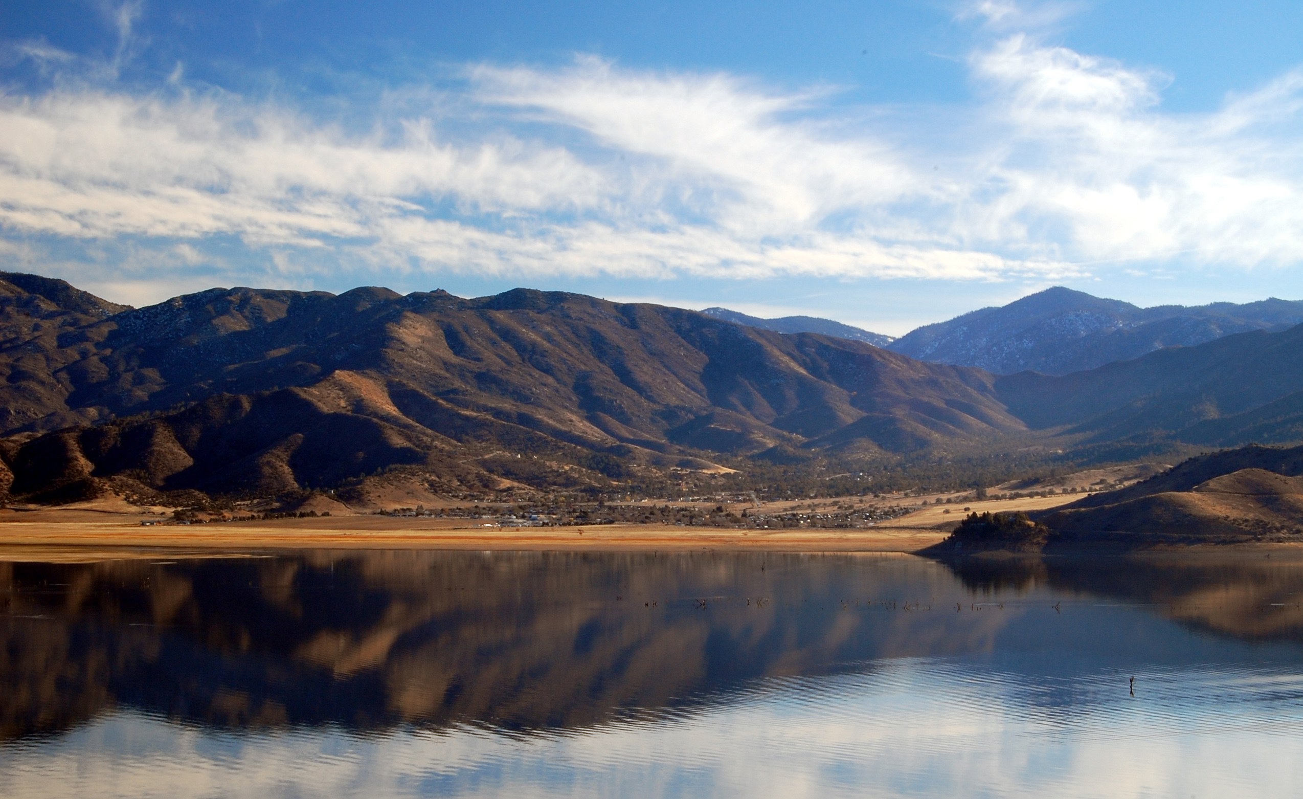
Mountain Mesa — census-designated place — Mountain Mesa viewed from across Lake Isabella Location in Kern County and the state of California
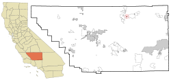
Coordinates: 35°38′22″N 118°24′20″W / 35.63944°N 118.40556°WCoordinates: 35°38′22″N 118°24′20″W / 35.63944°N 118.40556°W Country  United States
State  California
County Kern Government – N/A – Senate Roy Ashburn (R) – Assembly Jean Fuller (R) – U. S. Congress Kevin McCarthy (R) Area[1] – Total 0.831 sq mi (2.153 km2) – Land 0.831 sq mi (2.153 km2) – Water 0 sq mi (0 km2) 0% Elevation[2] 2,641 ft (805 m) Population (2010) – Total 777 – Density 935/sq mi (360.9/km2) Time zone PST (UTC-8) – Summer (DST) PDT (UTC-7) ZIP code 93240 Area code(s) 760 FIPS code 06-49600 GNIS feature ID 1661074 Mountain Mesa is a census-designated place (CDP) in Kern County, California, United States. Mountain Mesa is located 5.5 miles (8.9 km) south-southeast of Wofford Heights,[3] at an elevation of 2641 feet (805 m).[2] The population was 777 at the 2010 census, up from 716 at the 2000 census.
Contents
Geography
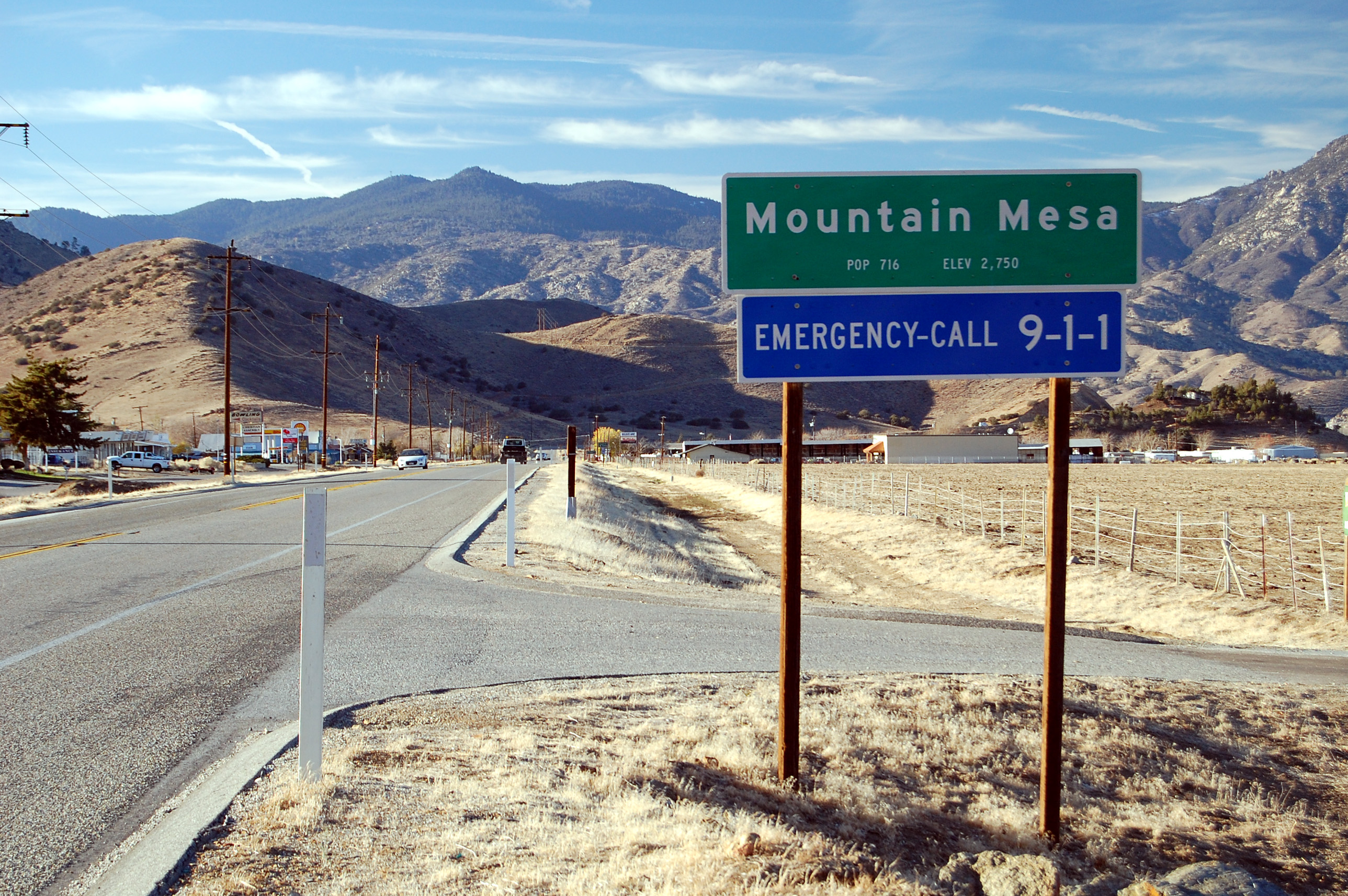
 CalTrans guide sign marking the eastern extent of town along SR178
Mountain Mesa is located along the south shore of Lake Isabella at 35°38′22″N 118°24′20″W / 35.63944°N 118.40556°W.[2]
According to the United States Census Bureau, the CDP has a total area of 0.8 square miles (2.2 km²), all of it land.
Demographics
2010
The 2010 United States Census[4] reported that Mountain Mesa had a population of 777. The population density was 934.7 people per square mile (360.9/km²). The racial makeup of Mountain Mesa was 687 (88.4%) White, 7 (0.9%) African American, 16 (2.1%) Native American, 6 (0.8%) Asian, 2 (0.3%) Pacific Islander, 27 (3.5%) from other races, and 32 (4.1%) from two or more races. Hispanic or Latino of any race were 77 persons (9.9%).
The Census reported that 715 people (92.0% of the population) lived in households, 0 (0%) lived in non-institutionalized group quarters, and 62 (8.0%) were institutionalized.
There were 304 households, out of which 80 (26.3%) had children under the age of 18 living in them, 139 (45.7%) were opposite-sex married couples living together, 26 (8.6%) had a female householder with no husband present, 27 (8.9%) had a male householder with no wife present. There were 18 (5.9%) unmarried opposite-sex partnerships, and 5 (1.6%) same-sex married couples or partnerships. 88 households (28.9%) were made up of individuals and 44 (14.5%) had someone living alone who was 65 years of age or older. The average household size was 2.35. There were 192 families (63.2% of all households); the average family size was 2.88.
The population was spread out with 155 people (19.9%) under the age of 18, 51 people (6.6%) aged 18 to 24, 133 people (17.1%) aged 25 to 44, 222 people (28.6%) aged 45 to 64, and 216 people (27.8%) who were 65 years of age or older. The median age was 49.8 years. For every 100 females there were 101.3 males. For every 100 females age 18 and over, there were 93.2 males.
There were 368 housing units at an average density of 442.7 per square mile (170.9/km²), of which 235 (77.3%) were owner-occupied, and 69 (22.7%) were occupied by renters. The homeowner vacancy rate was 2.9%; the rental vacancy rate was 18.6%. 520 people (66.9% of the population) lived in owner-occupied housing units and 195 people (25.1%) lived in rental housing units.
2000
As of the census[5] of 2000, there were 716 people, 295 households, and 197 families residing in the CDP. The population density was 831.9 people per square mile (321.5/km²). There were 351 housing units at an average density of 407.8 per square mile (157.6/km²). The racial makeup of the CDP was 95.11% White, 0.28% Black or African American, 0.28% Native American, 0.14% Pacific Islander, 0.98% from other races, and 3.21% from two or more races. 3.77% of the population were Hispanic or Latino of any race.
There were 295 households out of which 22.4% had children under the age of 18 living with them, 53.6% were married couples living together, 10.8% had a female householder with no husband present, and 32.9% were non-families. 30.5% of all households were made up of individuals and 20.0% had someone living alone who was 65 years of age or older. The average household size was 2.19 and the average family size was 2.68.
In the CDP the population was spread out with 17.6% under the age of 18, 4.7% from 18 to 24, 18.9% from 25 to 44, 21.8% from 45 to 64, and 37.0% who were 65 years of age or older. The median age was 52 years. For every 100 females there were 84.5 males. For every 100 females age 18 and over, there were 82.7 males.
The median income for a household in the CDP was $23,875, and the median income for a family was $32,656. Males had a median income of $26,161 versus $14,797 for females. The per capita income for the CDP was $13,759. About 28.9% of families and 27.7% of the population were below the poverty line, including 59.2% of those under age 18 and 31.5% of those age 65 or over.
References
- ^ U.S. Census
- ^ a b c U.S. Geological Survey Geographic Names Information System: Mountain Mesa, California
- ^ Durham, David L. (1998). California's Geographic Names: A Gazetteer of Historic and Modern Names of the State. Quill Driver Books. p. 1075. ISBN 9781884995149.
- ^ All data are derived from the United States Census Bureau reports from the 2010 United States Census, and are accessible on-line here. The data on unmarried partnerships and same-sex married couples are from the Census report DEC_10_SF1_PCT15. All other housing and population data are from Census report DEC_10_DP_DPDP1. Both reports are viewable online or downloadable in a zip file containing a comma-delimited data file. The area data, from which densities are calculated, are available on-line here. Percentage totals may not add to 100% due to rounding. The Census Bureau defines families as a household containing one or more people related to the householder by birth, opposite-sex marriage, or adoption. People living in group quarters are tabulated by the Census Bureau as neither owners nor renters. For further details, see the text files accompanying the data files containing the Census reports mentioned above.
- ^ "American FactFinder". United States Census Bureau. http://factfinder.census.gov. Retrieved 2008-01-31.
Municipalities and communities of Kern County, California Cities Arvin | Bakersfield | California City | Delano | Maricopa | McFarland | Ridgecrest | Shafter | Taft | Tehachapi | Wasco
CDPs Bear Valley Springs | Bodfish | Boron | Buttonwillow | Cherokee Strip | China Lake Acres | Derby Acres | Dustin Acres | Edmundson Acres | Edwards Air Force Base | Fellows | Ford City | Frazier Park | Fuller Acres | Golden Hills | Greenacres | Greenfield | Inyokern | Johannesburg | Keene | Kernville | Lake Isabella | Lake of the Woods | Lamont | Lebec | Lost Hills | McKittrick | Mettler | Mexican Colony | Mojave | Mountain Mesa | North Edwards | Oildale | Onyx | Pine Mountain Club | Randsburg | Rosamond | Rosedale | Smith Corner | South Taft | Squirrel Mountain Valley | Stallion Springs | Taft Heights | Tupman | Valley Acres | Weedpatch | Weldon | Wofford Heights
Unincorporated
communitiesActis | Aerial Acres | Alameda | Algoso | Alta Sierra | Annette | Ansel | Armistead | Baker | Bannister | Bealville | Bena | Bissell | Blackwells Corner | Bowerbank | Bradys | Brown | Burton Mill | Cable | Calders Corner | Calico | Caliente | Cameron | Camp Owens | Canebrake | Cantil | Cawelo | Ceneda | Chaffee | China Lake | Cinco | Claraville | Conner | Crome | Desert Lake | Di Giorgio | Dow | East Bakersfield | Edison | Edwards | El Rita | Elmo | Famoso | Fig Orchard | Five Points | Fleta | Fruitvale | Glennville | Goler Heights | Gosford | Grapevine | Gulf | Gypsite | Halfway House | Harpertown | Harts Place | Havilah | Hazelton | Hights Corner | Hollis | Ilmon | Indian Wells | Jasmin | Jastro | Kayandee | Kecks Corner | Kern Lake | Kernell | Keyesville | Kilowatt | Lackey Place | Lakeview | Landco | Lerdo | Lokern | Lonsmith | Loraine | Magunden | Maltha | Manolith | Marcel | Mayfair | Meridian | Midoil | Millersville | Millux | Minter Village | Miracle Hot Springs | Missouri Triangle | Mitchells Corner | Monolith | Moreland Mill | Myricks Corner | Neufeld | North Belridge | North Shafter | Oil City | Oil Junction | Old Garlock | Old River | Old Town | Palmo | Panama | Patch | Pentland | Pettit Place | Pinon Pines Estates | Pond | Prospero | Pumpkin Center | Quality | Rancho Seco | Rand | Reward | Ribier | Ricardo | Rich | Rio Bravo | Riverkern | Rowen | Saco | Sageland | Saltdale | San Emidio | Sanborn | Sand Canyon | Searles | Seguro | Semitropic | Shirley Meadows | Silt | Slater | South Lake | Spellacy | Spicer City | Stevens | Summit | Thomas Lane | Twin Lakes | Twin Oaks | Una | Venola | Vinland | Walker Basin | Wallace Center | Walong | Wheeler Ridge | Wible Orchard | Willow Springs | Woodford | Woody | Zentner
Former
settlements18 Mile House | Allard | Amalie | Artwell | Asphalto | Barnes Settlement | Benita | Big Blue Mill | Borel | Burkeville | Cabernet | Cambio | Canebrake | Canfield | Chanz | Clarkson | Code | Craft | Cuttens | Desert Spring | Domino | Eaires | Eric | Fluhr | Fram | Gamba | Garlock | Girard | Glenburn | Gold Town | Greenwich | Gyle | Indian Springs | Inmans | Isabella | Joe Walker Town | Joyfull | Kern River Slough | Kernvale | Kernville | Kyan | La Rose | Langdon | Lavers' Crossing | Leliter | Leonards | Levee | Levee Spur | Little Dixie | Martendale | Midway | Miramonte | Monterio | Moseman | Muroc | Nadeau | Neil | Neuralia | Nome | North Muroc | Olig | Packwood | Page | Paloma | Parsons | Petersburg | Petro | Pine | Piute | Proctor | Progress | Pylema | Quartzburg | Redrock | Reefer City | Reservoir | Rio Bravo | Riverview | Rock Springs | Rogersville | Sage | San Miguel de los Noches | Sand Cut | Scovern Hot Springs | Sedwell | Shady Rest | Shale | Shamrock | Smyrna | Solon | Sorrell's | Strader | Strand | Sullivan | Summers | Sunset | Teagle | Tehichipa | Tejon | Terese | Terese Siding | Toolwass | Trescape | Treves | Una Siding | Unadilla | Vaccaro | Vaughn | Vernette | Warren (Fellows) | Warren (Mojave) | Water Station | West Baker | Winter Garden
Categories:- Census-designated places in Kern County, California


Wikimedia Foundation. 2010.