- Stallion Springs, California
Infobox Settlement
official_name = Stallion Springs, California
settlement_type = CDP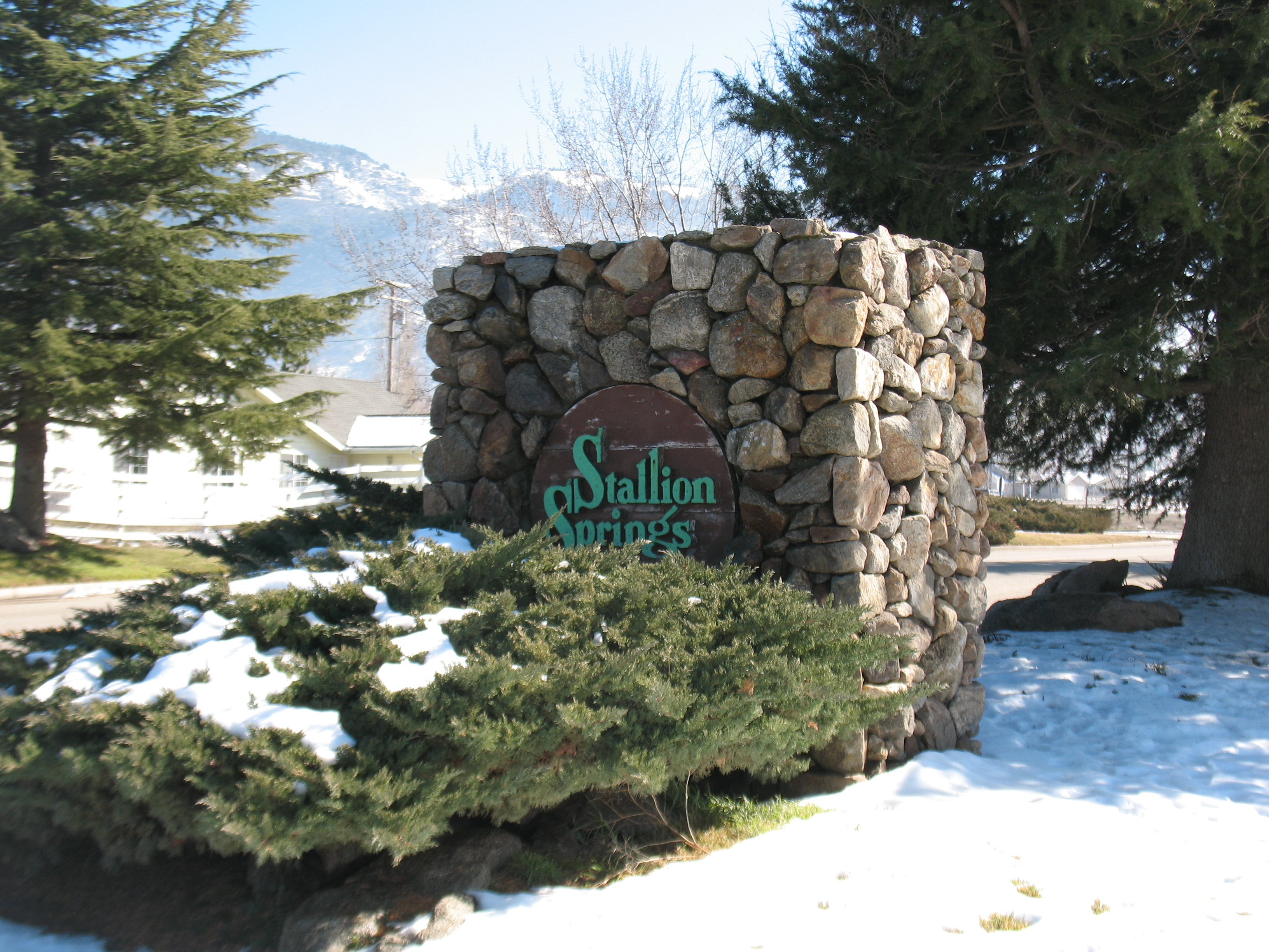
imagesize =
image_caption = the entrance to the town
image_
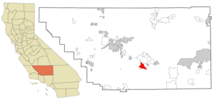
mapsize = 250x200px
map_caption = Location in Kern County and the state ofCalifornia
mapsize1 =
map_caption1 =
subdivision_type = Country
subdivision_type1 = State
subdivision_type2 = County
subdivision_name =United States
subdivision_name1 =California
subdivision_name2 = Kern
government_type =
leader_title = N/A
leader_name =
leader_title1 = Senate
leader_name1 =Roy Ashburn (R)
leader_title2 = Assembly
leader_name2 =Jean Fuller (R)
leader_title3 = U. S. Congress
leader_name3 = Kevin McCarthy (R)
established_date =
area_magnitude =
area_total_km2 = 42.7
area_total_sq_mi = 16.5
area_land_km2 = 42.6
area_land_sq_mi = 16.5
area_water_km2 = 0.1
area_water_sq_mi = 0
elevation_ft = 3786
elevation_m = 1154
population_as_of = 2000
population_footnotes =
population_total = 1522
population_metro =
population_density_km2 = 35.6
population_density_sq_mi = 92.2
timezone = PST
utc_offset = -8
latd = 35 |latm = 4 |lats = 44 |latNS = N
longd = 118 |longm = 38 |longs = 9 |longEW = W
timezone_DST = PDT
utc_offset_DST = -7
postal_code_type =ZIP code
postal_code = 93561
area_code = 661
blank_name = FIPS code
blank_info = 06-73868
blank1_name = GNIS feature ID
blank1_info = 1853417
footnotes =
website =Stallion Springs is a
census-designated place (CDP) in Kern County,California , USA. The population was 1,522 at the 2000 census. Stallion Springs is located in the greater Tehachapi Area.Geography
Stallion Springs is located at coor dms|35|4|44|N|118|38|9|W|city (35.078784, -118.635870)GR|1.
According to the
United States Census Bureau , the CDP has a total area of 16.5square mile s (42.7km² ), of which, 16.5 square miles (42.6 km²) of it is land and 0.04 square miles (0.1 km²) of it (0.12%) is water.Demographics
As of the
census GR|2 of 2000, there were 1,522 people, 586 households, and 469 families residing in the CDP. Thepopulation density was 92.5 people per square mile (35.7/km²). There were 763 housing units at an average density of 46.4/sq mi (17.9/km²). The racial makeup of the CDP was 90.21% White, 0.92% Black or African American, 0.99% Native American, 1.12% Asian, 0.07% Pacific Islander, 2.83% from other races, and 3.88% from two or more races. 11.04% of the population were Hispanic or Latino of any race.There were 586 households out of which 31.1% had children under the age of 18 living with them, 70.0% were married couples living together, 6.7% had a female householder with no husband present, and 19.8% were non-families. 16.4% of all households were made up of individuals and 7.8% had someone living alone who was 65 years of age or older. The average household size was 2.60 and the average family size was 2.91.
In the CDP the population was spread out with 26.3% under the age of 18, 4.3% from 18 to 24, 24.1% from 25 to 44, 23.7% from 45 to 64, and 21.6% who were 65 years of age or older. The median age was 42 years. For every 100 females there were 101.9 males. For every 100 females age 18 and over, there were 101.3 males.
The median income for a household in the CDP was $51,029, and the median income for a family was $53,958. Males had a median income of $53,162 versus $37,708 for females. The
per capita income for the CDP was $18,592. About 3.4% of families and 5.3% of the population were below thepoverty line , including 1.8% of those under age 18 and 9.9% of those age 65 or over.References
External links
Wikimedia Foundation. 2010.