- Columbia, Illinois
-
Columbia City 
Motto: Good for business, good for life Country United States State Illinois Counties Monroe, St. Clair[1] Elevation 500 ft (152 m) Coordinates 38°26′57″N 90°12′31″W / 38.44917°N 90.20861°W Area 9.5 sq mi (25 km2) - land 9.4 sq mi (24 km2) - water 0.04 sq mi (0 km2) Population 9,818 (2007) Density 1,042.2 / sq mi (402 / km2) Founded 1859 Mayor Kevin Hutchinson Timezone CST (UTC-6) - summer (DST) CDT (UTC-5) Postal code 62236 Area code 618 

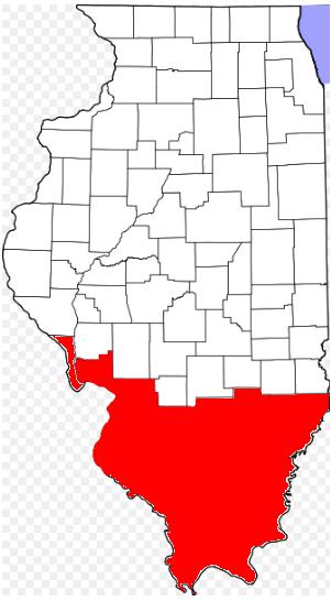
 Location of Columbia within Illinois
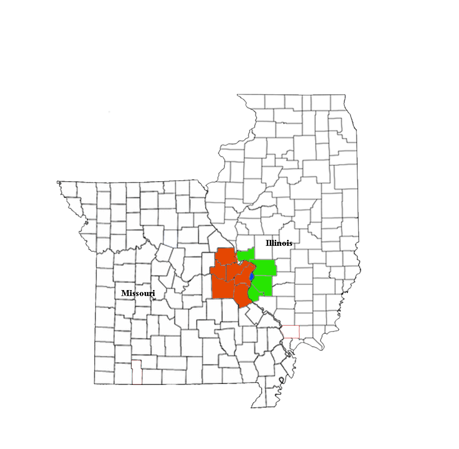
Wikimedia Commons: Columbia, Illinois Website: http://www.columbiaillinois.com/ Columbia is a city in Monroe and St. Clair County in the U.S. state of Illinois, about 12 miles (19 km) south of St. Louis, Missouri. The population was 7,922 at the 2000 census.
Contents
History
The first white settlers to come to the area of Columbia, Illinois, were Frenchmen in the mid-17th century. They named the area in which Columbia was founded L'Aigle, which is French for "The Eagle."[2]
In the mid-18th century, the British took over the territory until the Revolutionary War forced them out of the area. The colonial American settlers soon arrived and established the first permanent settlements in the area of Columbia, Fort Whiteside and Fort Piggott. Both forts were made out of log cabins and were used to protect against Indian raids.
In 1820, Columbia was plotted out as a town and built on bluffs 500 feet above sea level to protect against the flooding of the Mississippi River. Columbia is a poetic name for the United States.
Germans began immigrating to the area around 1833, with the majority coming in the 1840s. United States land agents had traveled to Germany to sell land to emigrating Germans. When the immigrants arrived in the United States, they traveled immediately to their own parcels of land.
Entering the United States through New Orleans, these Germans went up the Mississippi River to St. Louis, Missouri. They settled in the general region, including the Columbia area. The ground was not expensive, harvests were rich, and the climate was perfect for growing grain. German thrift, tenacity, and industriousness changed the character of Columbia from a pioneer settlement to a thriving community. The hard-working nature of the early immigrants had a direct influence on the town’s present prosperity.
In the early 19th century, the American landowners in the Columbia area often hired the German immigrants who were not landowners as farmhands. Money was short, so they were given land as payment. Soon, most of the land belonged to the Germans.
In 1859, Columbia was incorporated as a town as a result of the growth from German immigration. In 1868, the first railroad tracks were laid in Columbia, and the town continued to grow and develop. In 1927, Columbia became a city.
A notable feature of the community spirit was evidenced by the high level of Columbia’s interest in the St. Louis World’s Fair in 1904. With singular purpose, on September 22, 1904, all businesses and schools were closed and 1,000 of the 1,300 inhabitants of Columbia attended the World’s Fair on that one day. It set a record of attendance for members of one community to be at the Fair at the same time.[2]
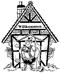
In 1959, Columbia's centennial was celebrated with a large community festival. In 1960, the Strassenfest ("street festival"), a three-day festival celebrating the German heritage of the community, was established. The Strassenfest became so popular that it had to be transferred to St. Louis in 1972, where it now attracts more than 100,000 visitors over a three-day period every year.[3]
Today Columbia is a bedroom community with a population of about 10,000, mainly of German origin. Services and construction industry are the pillars of the local commerce.
Geography
Columbia is located at 38°26′57″N 90°12′31″W / 38.44917°N 90.20861°W (38.449172, -90.208500).[3]
According to the United States Census Bureau, the city has a total area of 9.4 square miles (24 km2), of which 9.4 square miles (24 km2) of it is land and 0.04 square miles (0.10 km2) of it (0.21%) is water.
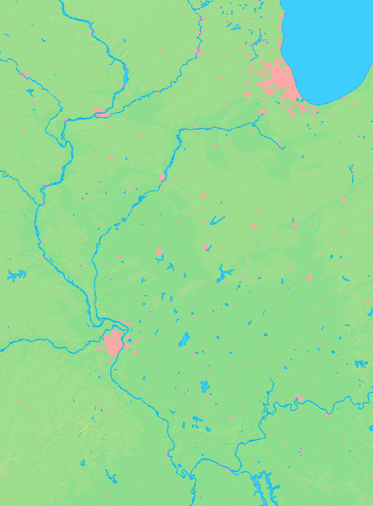
Columbia is bounded on the west by the Mississippi River. Running in a diagonal line just northeast of Columbia is the border of St. Clair County, beyond which lies Dupo to the north and Millstadt to the east. To the south is Waterloo. Waterloo and Columbia are expected to grow right up to the borders of the other, in effect extending St. Louis's urban sprawl from South St. Louis County across the Jefferson Barracks Bridge into the heart of the formerly rural Monroe County.
Demographics
Historical populations Census Pop. %± 1970 4,188 — 1980 4,269 1.9% 1990 5,524 29.4% 2000 7,922 43.4% Est. 2007 9,818 [4] 23.9% Population 1970 - 2007[5] As of the census[6] of 2000, there were 7,922 people. A special census conducted in 2006 places the population at 9,818.[4] 3,112 households and 2,218 families reside in the city. The population density was 841.5 people per square mile (325.0/km²). There were 3,219 housing units at an average density of 341.9 per square mile (132.1/km²). The racial makeup of the city was 98.52% White, 0.10% African American, 0.19% Native American, 0.34% Asian, 0.20% from other races, and 0.64% from two or more races. Hispanic or Latino of any race were 0.96% of the population. According to the 2010 census, the population was 9,707 people.[7]
There were 3,112 households, out of which 35.9% had children under the age of 18 living with them, 61.3% were married couples living together, 7.2% had a female householder with no husband present, and 28.7% were non-families. 25.4% of all households were made up of individuals and 10.9% had someone living alone who was 65 years of age or older. The average household size was 2.50 and the average family size was 3.01.
In the city, the population was spread out with 25.9% under the age of 18, 6.2% from 18 to 24, 32.0% from 25 to 44, 20.6% from 45 to 64, and 15.2% who were 65 years of age or older. The median age was 38 years. For every 100 females, there were 93.5 males. For every 100 females age 18 and over, there were 88.6 males.
The median income for a household in the city was $58,003 and the median income for a family was $69,059. Males had a median income of $46,197 versus $31,042 for females. The per capita income for the city was $26,767. About 2.0% of families and 2.5% of the population were below the poverty line, including 2.3% of those under age 18 and 4.4% of those age 65 or over.
Education
Columbia is served by the public K-12 school district Columbia Community Unit District #4. District #4 includes Eagleview Elementary School (pre-k - 1), Parkview Elementary School (2-4), Columbia Middle School (5-8), and Columbia High School. Also located in the city is Immaculate Conception School [4], a private Roman Catholic grade school with grades from kindergarten to eighth.
Transportation
Highways
To get to places in other towns and cities, Columbians rely mostly on the four highways located nearby. Illinois Route 3 is the only highway that runs through the city. It connects Columbia with Dupo and Cahokia in the northwest and Waterloo and Red Bud from the southeast. Illinois Route 158 has its western terminus just south of the city off of Route 3 and connects Columbia with Millstadt.
Interstate 255 and U.S. Route 50 overlap in St. Louis and continue over the Jefferson Barracks Bridge to Columbia, where they overlap again with Route 3 in an area just north of the city.
Airport
There is a small airport, Sackman Field, on the western edge of town.
Public transportation
A public bus service, provided by MetroBus, arrives in the morning and evening in Columbia and Waterloo and transports people to the MetroLink station in East St. Louis.
Sister city
 In February 1992, the city of Columbia invited the city of Gedern, Germany to take part in the US American "people to people program" with the goal to establish a partnership. Previously, citizens of Columbia had visited Gedern individually to search for their German ancestors. They had been successful in Wernings near Wenings, a district of Gedern. The contacts, resulting from these visits and discoveries, were to be integrated into an official sister city arrangement between Columbia and Gedern so relations could develop on this basis. After the "Declaration of Friendship" on April 29, 1992, the mayors Lester Schneider of Columbia and Rainer Schwarz of Gedern signed the proclamation of the sister city arrangement on May 8, 1993. Also on this day Barbara Gundlach, President of Verschwisterungsverein Gedern (Sister Cities of Gedern), was designated an honorary citizen of Columbia.
On May 7, 1993, Bill Clinton, in his congratulation letter to Columbia, stated that the partnership helped to overcome the barriers between the United States and Germany and improve the relationships between people across the oceans. Since then, according to the "people to people program", official delegations from Gedern were in Columbia in 1993, 1997 and 2002. Delegations from Columbia were in Gedern in 1995, 1999, and 2003.
Columbia Plaza shows the importance of the sister city arrangement in Gedern. In Columbia, a street and a new subdivision were named after Gedern, and October 6, 2001, was declared Sister City of Gedern, Germany, Day by the State of Illinois.
In view of the good cooperation between the two cities, Reader's Digest gave the Sister City Award to Gedern in 1993 for its share in securing world peace and understanding among nations by the sister city arrangement with Columbia. [5]
References
- ^ "Subcounty population estimates: Illinois 2000-2008" (CSV). United States Census Bureau, Population Division. 2009-03-18. http://www.census.gov/popest/cities/files/SUB-EST2007-17.csv. Retrieved 2009-04-04.
- ^ Combined History of Randolph, Monroe and Perry Counties, Illinois, J. L. McDonough & Co., Philadelphia, 1883
- ^ "US Gazetteer files: 2010, 2000, and 1990". United States Census Bureau. 2011-02-12. http://www.census.gov/geo/www/gazetteer/gazette.html. Retrieved 2011-04-23.
- ^ a b Saathoff, Corey (Nov 7, 2007), "Waterloo to conduct special census", Republic-Times 121(45): 1A
- ^ [1], 20/20 Master Plan Columbia, Illinois. Accessed June 6, 2009.
- ^ "American FactFinder". United States Census Bureau. http://factfinder.census.gov. Retrieved 2008-01-31.
- ^ "2000 & 2010 Census Comparisons Maps: Municipalities". Census 2010 : Census 2010 Data. http://www2.illinois.gov/census/Documents/2010%20Data/2000%202010_IL%20Places_Alpha.xls.
External links
Greater St. Louis Topics 
Central city Largest cities
(over 20,000 in 2000)Affton CDP · Alton · Ballwin · Belleville · Chesterfield · Collinsville · East St. Louis · Edwardsville · Ferguson · Florissant · Granite City · Hazelwood · Kirkwood · Maryland Heights · Mehlville CDP · Oakville CDP · O'Fallon, Illinois · O'Fallon, Missouri · Saint Charles · St. Peters · Spanish Lake CDP · University City · Webster Groves · WildwoodLargest towns
and villages
(over 10,000 in 2000)Arnold · Bellefontaine Neighbors · Berkeley · Bridgeton · Cahokia · Clayton · Concord CDP · Crestwood · Creve Coeur · Fairview Heights · Farmington · Festus · Glen Carbon · Godfrey · Jennings · Lake St. Louis · Lemay CDP · Manchester · Overland · St. Ann · Swansea · Town and Country · Washington · Wentzville · Wood RiverMissouri Counties Franklin · Jefferson · Lincoln · St. Charles · Saint Francois · St. Louis City · St. Louis County · Warren · WashingtonIllinois Counties Subregions Illinois Metro-East region Counties 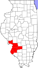
Major Cities (10,000+) Alton | Belleville | Cahokia | Centralia | Collinsville | East St. Louis | Edwardsville | Fairview Heights | Glen Carbon | Godfrey | Granite City | O'Fallon | Swansea | Wood RiverCities (5,000-10,000) Bethalto | Centreville | Columbia | East Alton | Highland | Jerseyville | Maryville | Mascoutah | Pontoon Beach | Shiloh | Staunton | Troy | Washington Park | WaterlooCities (1,000-5,000) Alorton | Aviston | Beckemeyer | Breese | Brighton | Carlyle | Caseyville | Dupo | Fairmont City | Freeburg | Germantown | Hartford | Lebanon | Madison | Marissa | Millstadt | New Athens | New Baden | Rosewood Heights | Roxana | Smithton | South Roxana | Trenton | Valmeyer | Venice | WamacInterstates in the Metro-East Airports/Military Bases List of Colleges in the Metro-East Sports teams based in the Metro East Municipalities and communities of Monroe County, Illinois Cities Columbia‡ | Waterloo

Villages Precincts 1 | 2 | 3 | 4 | 5 | 6 | 7 | 8 | 9 | 10 | 11 | 12 | 13 | 14 | 15 | 16 | 17 | 18 | 19 | 20 | 21 | 22 | 23 | 24 | 25 | 26 | 27
Unincorporated
communitiesAmes | Burksville | Burksville Station | Chaflin Bridge | Foster Pond | Fountain | Harrisonville | Madonnaville | Merrimac | Monroe City | New Hanover | Renault | St. Joe | Tipton | Wartburg
Footnotes ‡This populated place also has portions in an adjacent county or counties
Municipalities and communities of St. Clair County, Illinois Cities Belleville | Centreville | Collinsville‡ | Columbia‡ | East St. Louis | Fairview Heights | Lebanon | Madison‡ | Mascoutah | O'Fallon

Villages Alorton | Brooklyn | Cahokia | Caseyville | Dupo | East Carondelet | Fairmont City‡ | Fayetteville | Freeburg | Hecker‡ | Lenzburg | Marissa | Millstadt | New Athens | New Baden‡ | Sauget | Shiloh | Smithton | St. Libory | Summerfield | Swansea | Washington Park
Townships Canteen | Caseyville | Centreville | Engelmann | Fayetteville | Freeburg | Lebanon | Lenzburg | Marissa | Mascoutah | Millstadt | New Athens | O’Fallon | Prairie du Long | Shiloh Valley | Smithton | St. Clair | Stites | Stookey | Sugarloaf
CDPs Unincorporated
communitiesDouglas | Imbs | Westview
Footnotes ‡This populated place also has portions in an adjacent county or counties
Categories:- Metro-East
- Cities in Illinois
- Populated places in Monroe County, Illinois
- Populated places in St. Clair County, Illinois
- Columbia, Illinois
- Populated places established in 1859


Wikimedia Foundation. 2010.