- Merrimac, Illinois
-
Merrimac Unincorporated Name origin: Meramec River Country United States State Illinois County Monroe Precinct 15 Elevation 404 ft (123 m) Coordinates 38°22′15″N 90°20′00″W / 38.37083°N 90.3333333°W Government Unincorporated Timezone CST (UTC-6) - summer (DST) CDT (UTC-5) Postal code 62295 Area code 618 

 Location of Merrimac within Illinois
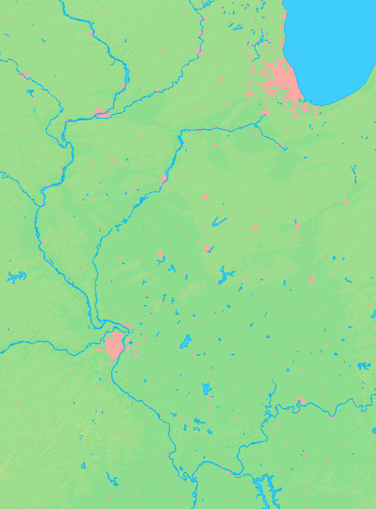
Merrimac, Illinois is a small unincorporated community in the historic Moredock Precinct of Monroe County, Illinois, United States. It is located in the American Bottoms, adjacent to the Mississippi River levee due south of that rivers confluence with the Meramec. It takes its name, from this river whose name was translated as 'Ugly Water' in Algonquian by French Jesuits in the area. However scholars of the language translate it as 'place of strong current', which would certainly seem consistent.
Illinois Metro-East region Counties 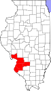
Major Cities (10,000+) Alton | Belleville | Cahokia | Centralia | Collinsville | East St. Louis | Edwardsville | Fairview Heights | Glen Carbon | Godfrey | Granite City | O'Fallon | Swansea | Wood RiverCities (5,000-10,000) Bethalto | Centreville | Columbia | East Alton | Highland | Jerseyville | Maryville | Mascoutah | Pontoon Beach | Shiloh | Staunton | Troy | Washington Park | WaterlooCities (1,000-5,000) Alorton | Aviston | Beckemeyer | Breese | Brighton | Carlyle | Caseyville | Dupo | Fairmont City | Freeburg | Germantown | Hartford | Lebanon | Madison | Marissa | Millstadt | New Athens | New Baden | Rosewood Heights | Roxana | Smithton | South Roxana | Trenton | Valmeyer | Venice | WamacInterstates in the Metro-East Airports/Military Bases List of Colleges in the Metro-East Sports teams based in the Metro East Municipalities and communities of Monroe County, Illinois County seat: Waterloo Cities 
Villages Precincts 1 | 2 | 3 | 4 | 5 | 6 | 7 | 8 | 9 | 10 | 11 | 12 | 13 | 14 | 15 | 16 | 17 | 18 | 19 | 20 | 21 | 22 | 23 | 24 | 25 | 26 | 27
Unincorporated
communitiesAmes | Burksville | Burksville Station | Chaflin Bridge | Foster Pond | Fountain | Harrisonville | Madonnaville | Merrimac | Monroe City | New Hanover | Renault | St. Joe | Tipton | Wartburg
Footnotes ‡This populated place also has portions in an adjacent county or counties
Categories:- Populated places in Monroe County, Illinois
- Unincorporated communities in Illinois
- Metro-East
- Metro-East geography stubs


Wikimedia Foundation. 2010.