- Confederation Suburban Centre, Saskatoon
-
City of Saskatoon Neighbourhoods Confederation Suburban Centre Confederation Suburban Development Area 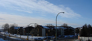 Housing complex in Confederation Suburban Centre
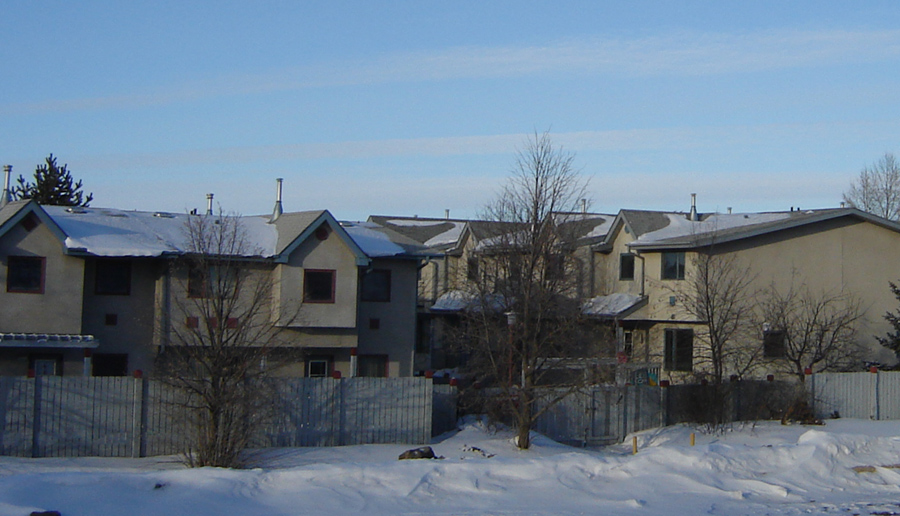
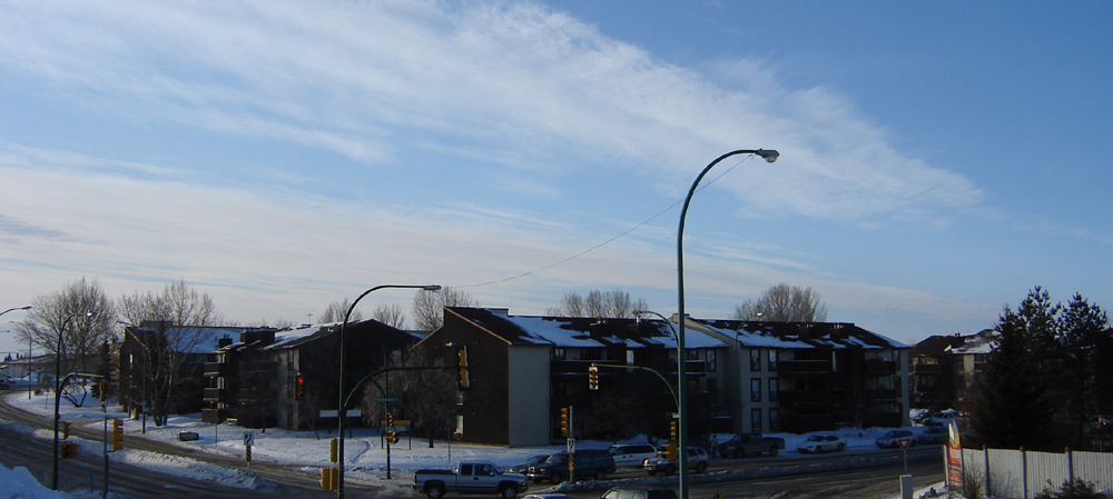
Population: 580 Average Family Income: $22,873 Average Household Size: 2.1 Homeownership: 18.5% Average Home Selling Price: $67,838 Municipal Ward: 3 Statistics c2005 [1]  Townhouse Complex in Confederation Suburban Centre
Confederation Suburban Centre is a community in the city of Saskatoon, Saskatchewan, which consists primarily of commercial development.
Contents
Demographics
Confederation Suburban Centre contains Confederation Park Mall, Cosmo Civic Centre, Plaza 22, Carlyle King Library, Fairhaven Bowl and The Real Canadian Superstore. Confederation Suburban Centre has a straight northern boundary that does not follow any roadway, but follows along the edge of the Massey Place Neighborhood around and about Milton Street and a southernmost tip at 11th Street East. It has an eastern boundary along Circle Drive. The western boundary is Diefenbaker Drive between 22nd Street and extends north from here to about Milton Street. The western boundary on the southern portion of 22nd Street encompasses Confederation Inn, and all retail sectors which are east of Fairmount Drive, and north of Fairlight Drive. The western boundary continues along the course of Circle Drive until 11th Street taking in the SGI complex, the Jehovah Witness Hall and the Baseball Diamonds and some of W.A. Reid Park.
History
Most of the amenities were constructed between 1970 and 1990. The area was designated a Suburban Centre in the 1980s; prior to this the portion north of 22nd Street was considered part of the Confederation Park community and the area to the south part of Fairhaven.
Layout
This area comprises mainly non residential development between the neighboring communities. It makes use of land area on the west side of the major interchange between 22nd Street and Circle Drive.
Shopping Malls
The Confederation Suburban Center contains 400 operating businesses which is 8% of Saskatoon's retail sector[2]
Confederation Mall
Plaza 22
Plaza 22 Mall is a strip mall consisting of a Blockbuster video store, Dollar Store, Fabricland, and a hair salon.
22nd Street Arterial Commercial District
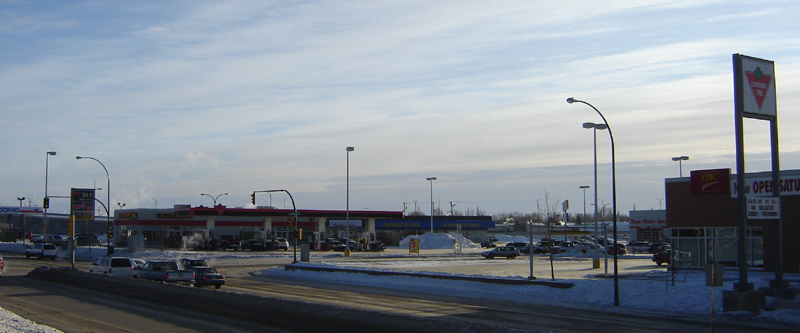
This is a neighborhood of shopping amenities. Several strip malls complement the area and nestle around Canadian Tire, and The Real Canadian Superstore offering a wide variety of goods and services.
 22nd Street Arterial Commercial District, Plaza 22 Strip Mall, Canadian Tire, Superstore, and Royal Square Strip Mall.
See also
List of shopping malls in Saskatoon
Recreation
- Bowling Pin House
- Fairhaven Bowl
Cosmo Civic Centre
- Gymnasium
- Racquetball and Wallyball Court
- Fitness Room
- Meeting Rooms
- Theatre
- Combatives Room
- Carlyle King Branch Library
Area Parks
- Charlottetown Parks
- W.A. Reid Park
Recycling
Transportation
22nd Street (Highway 14) is a major thoroughfare through Saskatoon Highway 14 connects with Asquith, Biggar Wilkie, Unity, and Macklin en route to Alberta.
City Transit
Saskatoon Transit Bus Terminal Mall located on the north side of the Confederation Park Parking Lot along Laurier Drive.
- Route 1 Westview/Wildwood
- Route 2 Meadowgreen/8th Street
- Route 3 Riversdale/College Park
- Route 4 Dundonald/Willowgrove
- Route 5 Fairhaven/Briarwood
- Route 22 McCormack Road/City Centre
- Route 23 Blairmore/Hampton Village
- Route 50 Pacific Heights/Lakeview (DART)
- Route 60 Confederation Park/Lakeridge (DART)
North: Massey Place West: Pacific Heights
Parkridge
FairhavenConfederation Suburban Centre East: Mount Royal
MeadowgreenSouth: Montgomery Place References
- ^ Neighborhood Profiles
- ^ Business Profile URL accessed February 3, 2007
- ^ Selling an Idea or a Product URL accessed January 27, 2007
External links
- Neighborhood Profiles
- Saskatoon Neighborhoods Word Search Puzzle
- City of Saskatoon · Departments · Community Services · Community ...
- City of Saskatoon · Departments · Community Services · City Planning · ZAM Maps
- Populace Spring 2006
Coordinates: 52°7′57″N 106°43′17″W / 52.1325°N 106.72139°W
Categories:- Neighbourhoods in Saskatoon
Wikimedia Foundation. 2010.