- Queen Elizabeth, Saskatoon
Queen Elizabeth is a neighbourhood in
Saskatoon ,Saskatchewan ,Canada .The neighbourhood has northern and southern perimeters of Taylor Street and Ruth Street respectively. Clarence Avenue is to the east and Melrose Avenue is to the west. From Taylor progressing southerly, are Maple Street, Isabella, Willow, Hilliard, Elm, Adelaide, Ash and then Ruth Sreet. The Avenues from Clarence Avenue are Albert, York, Lansdowne, Hanover, Dufferin, William, Broadway, Eastlake, Victoria, and Melrose Avenue.
History
right|200px|thumb">
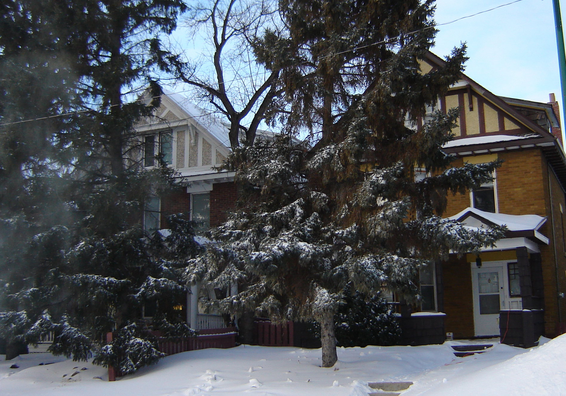
The Two Sisters: These two houses were originally part of Three Sisters which were seen on the bare prairie before the Queen Elizabeth neighborhood developed.Near the turn of the 20th century, ambitious developers built three stately homes on this location, anticipating that Saskatoon would soon expand this far. The developers underestimated the demand, and Saskatoon ultimate did not begin to develop this land until some 50 years later. During this time, the three homes became landmarks for travellers passing through this area, and were known as the "Three Sisters". [cite book
last = O'Brien
first = Jeff
editor = Roberta Coulter
coauthors = Ruth W. Millar, William P. Delainey
title = Saskatoon: A History in Photographs
year = 2006
publisher = Coteau Books
pages = p.88
isbn = I-55050-336-7] Only two of the three original homes remain; one was demolished to make way for the firehall to the north. The remaining two are considered historic properties.Demographics
The majority of homes were built during and just after
World War II , from about 1946 to 1960. Some revitalization occurs in the area when older homes are purchased, then demolished in favour of newer infill housing. The population for the most part is elderly retired folk.Gladmer Park was affordable row housing built in the 1950s, constructed by Limited Dividend Housing Projects and financed by the Canada Mortgage and Housing Corporation.
hopping
Pelican Market at Lorne Avenue at Taylor Street along with Shopper's Drug Mart and Cheese Toast at Broadway Avenue at Taylor Street both provide local strip malls for handy neighbourhood shopping.
Recreation
The Queen Elizabeth Community Association serves Queen Elizabth community residents as well as residents of the western edge of the Haultain community at Queen Elizabeth School, W. W. Ashley and Weaver Parks. [cite web | url = http://www.city.saskatoon.sk.ca/org/leisure/community_associations/your_association.asp?ca=38 | title = City of Saskatoon • Departments • Community Services • Community Associations | accessmonthday = February 17 | accessyear = 2007]
Area Parks
* Weaver Park 10.16 acres
Transportation
Education
* Queen Elizabeth School Public Elementary school [cite web | url = http://www.sbe.saskatoon.sk.ca/index.aspx?section=schools&page=QES | title = Our Schools | author = Saskatoon Public Schools | accessmonthday = February 17 | accessyear = 2007]
*Aden Bowman Collegiate Institute Public Secondary School [cite web | url = http://www.sbe.saskatoon.sk.ca/index.aspx?section=schools&page=ABCI | title = Aden Bowman Collegiate Institute | accessmonthday = February 17 | accessyear = 2007]Location
Coordinates: 52°6'22"N 106°38'53"W
North: Buena Vista | Haultain West: Exhibition Queen Elizabeth [cite web | url = http://www.city.saskatoon.sk.ca/org/city_planning/resources/publications/Future_Growth_and_Development_of_Saskatoon.pdf | title = Selling an Idea or a Product | accessmonthday January 27 | accessyear = 2007] East: Adelaide/Churchill South: Avalon Naming Conventions
References
External links
* [http://www.city.saskatoon.sk.ca/org/city_planning/resources/neighbourhood_demographics/buena_vista.pdf Saskatoon Neighborhoods Word Search Puzzle]
* [http://www.saskatoon.ca/org/city_planning/zam_maps/index.asp City of Saskatoon City of Saskatoon · Departments · Community Services · City Planning · ZAM Maps]
* [http://www.saskatoon.ca/org/city_planning/resources/populace_newsletter/Populace_Spring_2006.pdf Populace Spring 2006]----
Wikimedia Foundation. 2010.

