- North Park, Saskatoon
-
North Park — Neighborhood — North Park Welcome
Country  Canada
Province  Saskatchewan
City Saskatoon Suburban Development Area Lawson Suburban Development Area Neighbourhood North Park Settled Construction Government - Type Municipal (Ward 1) - Administrative body Saskatoon City Council - Councillor Population (2006) - Total 1,910 - Average Income $ 54,284 Time zone UTC (UTC-6) City of Saskatoon Neighborhoods North Park is a community which is just to the north of the Meewasin Riverworks observation area and the CPR Bridge. It has access along its eastern perimeter to the scenic walking trails along the South Saskatchewan River developed by the Meewasin Valley Authority. The average home selling price in 2006 was $101,176- $139,704. Each family was approximately 2.1 residents, and 63.9% of the residents owned their own home.Statistics c2006 - [1][2]
Contents
Location
Within the Lawson Suburban Development Area (West Side), the neighbourhood of North Park is bordered by the south Saskatchewan River on the east and Warman Road which lay parallel to each other. 33rd Street East to the south and Hazen Street demarks the northernmost limit.
History
There are some historic dwellings in North Park, as there was some development before World War II. Most of the construction of this area, however came to be in the decade after.
The Municipal Railway opened January 1, 1913 and contributed considerably to the growth of North Park and other outlying districts. The South Saskatchewan River provided prime real estate with a view of the scenic Meewasin Valley.[3][4]
North Park with a rich and varied lifestyle and history is documented in this book: E.T. Pete Russell. 'The History of North Park'.
Layout
Streets are laid out bordering the west bank of the South Saskatchewan River and are mainly a grid fashion. The north and south avenues which are central to the community, and corrections have been made to adapt and Empress Avenue and Spadina Crescent which run along the South Saskatchewan River
Education
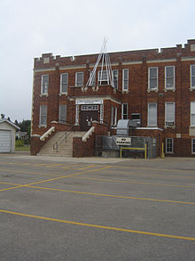 Wilson School now First Nations University of Canada
- North Park Wilson - Public Elementary School[5][6][7] North Park operated as a classroom of Wilson School between 1939 and 1954, opening in its own 8 room school.[8]
- E'cole St. Paul (St. Paul School) is a Catholic elementary school.
Shopping
Shopper's Drug Mart is located on 7th Avenue and 33rd Street. North Park also has close access to a small light industrial area of City Park to the south of 33rd Street East.
Area Parks
- Marriot Park - 0.77 acres (3,100 m2)
- Horn Park - 0.44 acres (1,800 m2)
- North Park Rec. Unit - 0.92 acres (3,700 m2)
 Archibald arena
Transportation
City Transit
North Park is serviced by City Transit Bus Routes Saskatoon Transit.
33rd Street is a major roadway accessing western Saskatoon. Spadina Crescent provides scenic transportation between the Central Business District and communities to the north which are part of the Lawson SDA. Warman Road is a main access road between Central Business District and the North West Industrial SDA which bypasses North Park with limited arterial access into the neighborhood.
Life
The North Park / Richmond Heights Community Association has amalgamated to provide community services for the Saskatoon area between 33rd Street East and Circle Drive utilizing facilities available at North Park-Wilson, River Heights, and St. Paul Schools.[9]
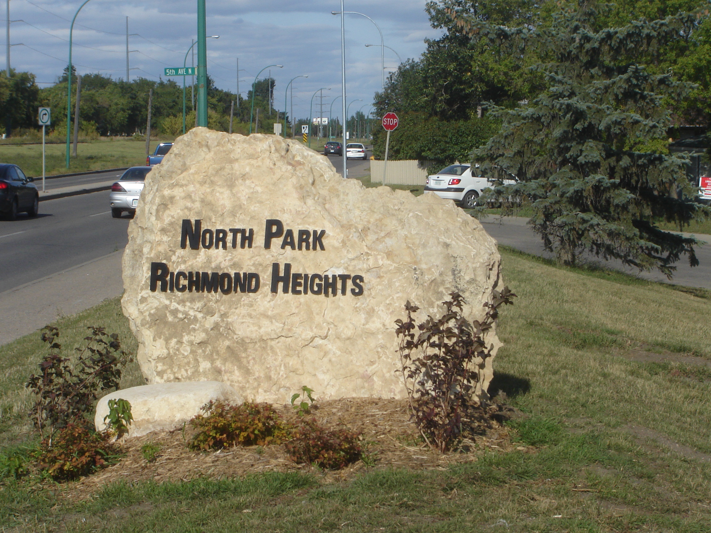
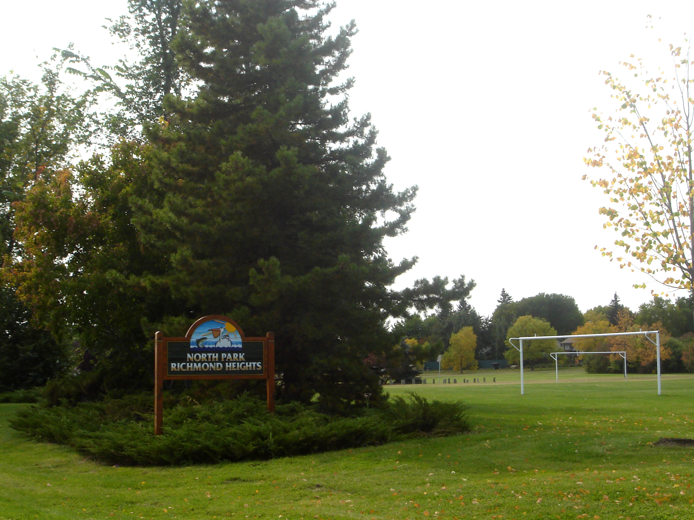
 North Park Richmond Heights sign
Location
Coordinates: 52°8'52"N 106°39'1"W Coordinates: 52°08′52″N 106°39′01″W / 52.147778°N 106.650278°W
North: Richmond Heights West: Kelsey/Woodlawn North Park East: South Saskatchewan River | U of S Management Area South: City Park References
- ^ Saskatoon Real Estate Resource Centre, Neighbourhoods, North Park URL accessed April 1, 2007
- ^ North Park URL accessed April 1, 2007
- ^ City of Saskatoon Archives - History of Saskatoon URL accessed April 1, 2007
- ^ Saskatoon 100 URL accessed April 1, 2007
- ^ www.spsd.sk.ca | Saskatoon Public Schools URL accessed April 1, 2007
- ^ NORTH PARK WILSON SCHOOL URL accessed April 1, 2007
- ^ North Park Wilson | Saskatoon Public Schools URL accessed April 1, 2007
- ^ Blashill, Lorraine (1982), from a little stone school...History of Saskatoon Public Schools. page 98., Saskatoon, SK: Modern press Ltd.
- ^ City of Saskatoon · Departments · Community Services · Community ... URL accessed April 1, 2007
- ^ Selling an Idea or a Product URL accessed January 27, 2007
External links
Categories:- Neighbourhoods in Saskatoon


Wikimedia Foundation. 2010.