- Richmond Heights, Saskatoon
Infobox Settlement
official_name = Richmond Heights
other_name =
native_name =
nickname =
settlement_type = Neighborhood
motto =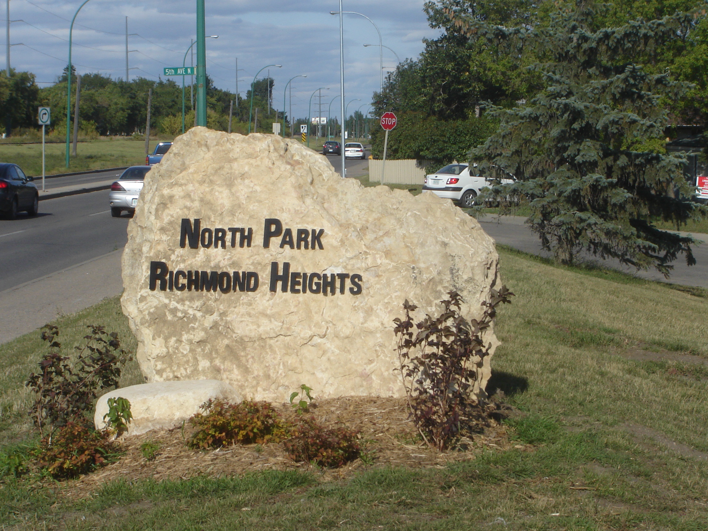
imagesize = 270px
image_caption = Richmond Heights Welcome
flag_size =
image_
seal_size =
image_shield =
shield_size =
city_logo =
citylogo_size =
mapsize = 270px
map_caption =
mapsize1 =
map_caption1 =
image_dot_
dot_mapsize =
dot_map_caption =
dot_x = |dot_y =
pushpin_
pushpin_label_position =
pushpin_map_caption =
pushpin_mapsize =
subdivision_type = Country
subdivision_name = CAN
subdivision_type1 = Province
subdivision_name1 = SK
subdivision_type2 = City
subdivision_name2 = Saskatoon
subdivision_type3 = Suburban Development Area
subdivision_name3 = Lawson Suburban Development Area
subdivision_type4 = Neighbourhood
subdivision_name4 = North Park
government_footnotes =
government_type = Municipal (Ward 1)
leader_title = Administrative body
leader_name =Saskatoon City Council
leader_title1 = Councillor
leader_name1 =
leader_title2 =
leader_name2 =
leader_title3 =
leader_name3 =
leader_title4 =
leader_name4 =
established_title =Annexed
established_date =1955-59
established_title2 = Construction
established_date2 = 1960s
established_title3 =
established_date3 =
area_magnitude =
unit_pref =
area_footnotes =
area_total_km2 =
area_land_km2 =
area_water_km2 =
area_total_sq_mi =
area_land_sq_mi =
area_water_sq_mi =
area_water_percent =
area_urban_km2 =
area_urban_sq_mi =
area_metro_km2 =
area_metro_sq_mi =
population_as_of = 2006
population_footnotes =
population_note =
population_total = 940
population_density_km2 =
population_density_sq_mi =
population_metro =
population_density_metro_km2 =
population_density_metro_sq_mi =
population_urban =
population_density_urban_km2 =
population_density_urban_sq_mi =
population_blank1_title = Average Income
population_blank1 = $ 57,275
population_density_blank1_km2 =
population_density_blank1_sq_mi =
timezone = UTC
utc_offset = -6
timezone_DST =
utc_offset_DST =
latd= |latm= lats= |latNS=N
longd= |longm= |longs= |longEW=W
elevation_footnotes =
elevation_m =
elevation_ft =
postal_code_type =
postal_code =
area_code =
blank_name =
blank_info =
blank1_name =
blank1_info =
website =
footnotes = City of Saskatoon NeighborhoodsRichmond Heights along the
South Saskatchewan River features walking trails along the Meewasin Valley. G.D. Archibald Park North hosts plenty of baseball and soccer games. Luther Heights is a Luther care community for those aged 60 and over. [ [http://www.saskatoonlibrary.ca/housing/CSLutherH.html Luther Heights (Seniors' Directory- Saskatoon Public Library)] URL accessed April 2, 2007] The average home selling price in 2006 was $ 121,111, and 73.5% o the residents owned their own home. The average home size was 2.3 residents.Statistics c2006 - [ [http://www.city.saskatoon.sk.ca/org/city_planning/resources/neighbourhood_demographics/richmond_heights.pdf Richmond Heights ] URL accessed April 2, 2007]Location
Within the Lawson Suburban Development Area (West Side), the neighbourhood of Richmond Heights is bordered on the North by Circle Drive. Warman Road lies to the west side. To the south is Hazen Street, and finally the eastern perimeter is the geophysical boundary of the
South Saskatchewan River upon which G.D. Archibald Park North is found.History
Land was annexed for the Richmond Heights neighbourhood for the city of Saskatoon in 1955-59. [ [http://www.saskatoon.ca/org/city_planning/resources/populace_newsletter/Populace_Spring_2006.pdf Populace Spring 2006] URL accessed April 2, 2007] The majority of dwellings were part of the original construction which took place in the 1960s [ [http://www.city.saskatoon.sk.ca/org/city_planning/resources/neighbourhood_demographics/richmond_heights.pdf Richmond Heights ] URL accessed April 2, 2007]
Layout
The crescents / avenues are fashioned around Archibald Park West.The roads have been mainly named with a royal connection:
*Rupert Drive
*Eddy Place, Street
*Alexandra Avenue
*Noble Crescent
*Wales Avenue
*Empire Avenue [ [http://www.saskatoon.ca/org/city_planning/resources/populace_newsletter/Populace_Spring_2006.pdf Populace Spring 2006] URL accessed April 2, 2007]Education
No schools are part of this neighbourhood. To the south would be the schools of North Park
hopping
There are some amenities within the neighborhood such as New Red Lantern Inn in a strip mall located on Alexandra Avenue.
Area Parks
*G.D. Archibald Park North (N) 8.40
**hosts a wading pool, playground and many baseball and soccer games. [ [http://www.meewasin.com/facilities/trail/ Meewasin ] URL accessed April 2, 2007]
*G.D. Archibald Park West (N) 2.60Transportation
Spadina Crescent provides scenic transportation between the Central Business District and communities to the north which are part of the Lawson SDA. Warman Road is a main access road between Central Business District and the North West Industrial SDA which bypasses Richmond Heights with limited arterial access into the neighborhood.
City Transit
Richmond Heights is serviced by City Transit Bus Routes
Saskatoon Transit .Life
The North Park / Richmond Heights Community Association has amalgamated to provide community services for the Saskatoon area between 33rd Street East and Circle Drive utlizing facilities available at North Park-Wilson, River Heights, and St. Paul Schools. [ [http://www.city.saskatoon.sk.ca/org/leisure/community_associations/your_association.asp?ca=33 City of Saskatoon · Departments · Community Services · Community ...] URL accessed April 1, 2007]
Location
Coordinates: 52°9'13"N 106°38'32"W
[ [http://www.city.saskatoon.sk.ca/org/city_planning/resources/publications/Future_Growth_and_Development_of_Saskatoon.pdf Selling an Idea or a Product] URL accessed January 27, 2007]North: River Heights West: Kelsey/Woodlawn Richmond Heights East: South Saskatchewan River | U of S Management AreaSouth: North Park
Commons cat|Richmond HeightsReferences
External links
* [http://www.saskatoon.ca/org/city_planning/local_area_plans/index.asp Local Area Planning]
* [http://www.saskatoon.ca/org/city_planning/zam_maps/index.asp City of Saskatoon City of Saskatoon · Departments · Community Services · City Planning · ZAM Maps]
* [http://www.saskatoon.ca/org/city_planning/resources/populace_newsletter/Populace_Spring_2006.pdf Populace Spring 2006]
* [http://www.scs.sk.ca/saskatoon100/students/funstuff/wordsearches/neighbourhoods/neighbourhoods.html Saskatoon Neighbourhoods Word Search Puzzle]
* [http://www.meewasin.com/common/flash/trail_map.swf Map of Facilities, Park Sites, and Trails located in the city's ...]
Wikimedia Foundation. 2010.