- Meadowgreen, Saskatoon
-
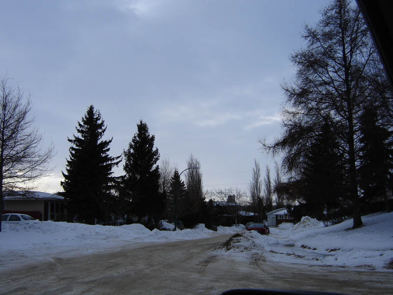
City of Saskatoon Neighbourhoods Meadowgreen Confederation Suburban Development Area  Appleby Place, A Court in Meadowgreen of Detached Residential Homes
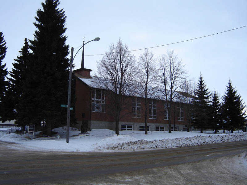
Population: 3,860 Average Family Income: $37,541 Average Household Size: 2.5 Homeownership: 47.4% Average Home Selling Price: $89,331 Municipal Ward: 2 Gross Area 303.53 Acres Statistics c2005 [1][2]  Our Lady of Czestochowa Roman Catholic Church
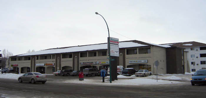
 Westgreen Shopping Plaza
Meadowgreen community is a geographically localized subdivision of the Confederation Suburban Development Area in the city of Saskatoon, Saskatchewan, Canada. Meadowgreen is surrounded by an abundance of green space and walking trails without being a River side neighbourhood. The buffer zone along Circle Drive has a newly created walking trail. The southern buffer zone along 11th Street connects to the east with Fred Mendel Park of the Pleasant Hill neighbourhood and to the west with the off leash dog run located in the Confederation Suburban Centre neighbourhood. As well the newly re-located Meadowgreen Park and Peter Pond Park provide leisure activities such as basketball courts and playgrounds. Within the Confederation SDA of Saskatoon, the neighborhood of Meadowgreen comprises the area south of 22nd Street, north of the buffer zone between 11th Street and Appleby Drive, east of Circle Drive, and west of Avenue W South. Until the 1990s the portion of the community north of 18th Street was considered part of the Pleasant Hill community until the City of Saskatoon reorganized its community boundaries.
Meadowgreen has a little higher population in its neighbourhood 3,860 compared to Adelaide/Churchill at 3,535. A nearby community of Mount Royal is the next largest of Saskatoon's subdivisions at 4,110 persons. The Saskatchewan provincial town of Battleford is the rural area in with the closest population size. Battleford's population was 3,685 on the 2006 Census, and 3,820 persons as of 2001 compared to the Saskatoon neighbourhood of Meadowgreen's population of 2001 at 3,860. [3] Battleford is sprawled over 5,764.968 acres (23.33000 km2) or 23.33 km², whereas Meadowgreen is within 303.53 acres (1.2283 km2) or 1.22834 km². Where Battleford shows total dwellings of 1,485, Meadowgreen has 1,560 dwellings. [3] [4]
Contents
Education
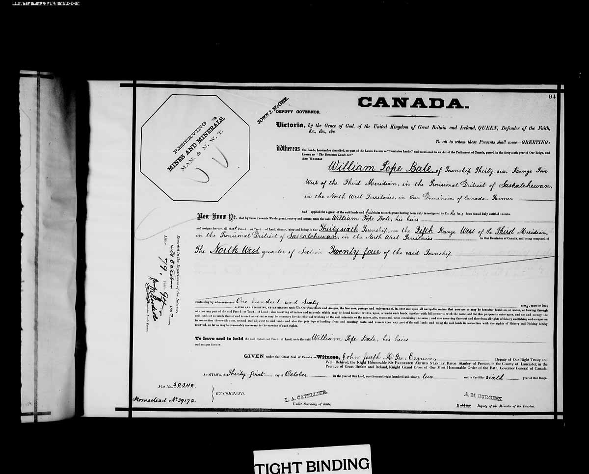
- W.P. Bate School was originally located at 342 Ottawa Avenue South in 1974. In September 2006, the school relocated to a new location at 2515 18th Street West. The school namesake, W.P. Bate, homesteaded nearby at NW Section 24 Township 36 Range 5 W of the 3rd Meridian, provisional district of Saskatchewan, North West Territories and received his dominion land grant patent Oct 31, 1892. [5]
W.P. Bate Community School 
Location 2515 18th Street West Information Type Elementary Established 1974 on Ottawa Avenue South School district Saskatoon Public Schools Principal Sheila Pocha Grades 1-8 Affiliation Public Website W.P. Bate - Saskatoon Public Schools Demographics
There are 3,860 people living in this area of Saskatoon, with the 34% of this population being employed in sales and service, the main occupation of this neighbourhood. The average income as of 2006 was $37,541 enabling an average house market value of $105,527. 770 of the 1,560 homes are detached residences, the majority built between 1960 to 1980.[6]
Shopping
Westgreen Shopping PlazaWithin Meadowgreen is Westgreen Plaza which has a laundromat and convenience store. There are also two other tenants in the plaza. Near to Meadowgreen is Westgate Plaza, and the Confederation Suburban Centre. This shopping mall is a small strip mall which serves a very local neighbourhood population.
See also
List of shopping malls in Saskatoon
Parks
- Cahill Park - 1.48 acres (6,000 m2)
- Meadowgreen Park -
- Peter Pond Park - 1.62 acres (6,600 m2)
W.P. Bate School opened January 2006, exchanging places with Meadowgreen Park.
Religious institutions
- Chan Tam Buddhist Congregation Saskatoon Inc. [7]
- Our Lady of Czestochowa Roman Catholic Services [8]
- Pleasant Hill Mennonite Church was built in 1953, however services began as early as 1928.[9]
Hotels, motels, lodgings
Meadowgreen Cottage Bed & Breakfast[10]
Recycling
Meadowgreen Recycle Depot - Corner of 22nd St. W. and Witney Ave.[11]
Transportation
City transit
Meadowgreen is serviced by the Saskatoon Transit bus route #2 Meadowgreen - 8th Street.
History
The land for Meadowgreen was annexed by the city of Saskatoon between 1955 and 1959.[12] Approximately 33% of the dwellings were built in the 1960s, and 45% built in the 1970s. [13]
Layout
The area south of 18th Street, north of the buffer zone between 11th Street and Appleby Drive, east of Circle Drive, and west of Avenue W South is laid out in a court system. The northern portion is laid out grid fashion; avenues run alphabetically north and south, Streets run numerically east and west. After Avenue Y South, the Avenues are named after Canadian Cities such as Montreal, Ottawa, Winnipeg and Vancouver. Witney Avenue is the only anomaly to the naming convention, and is named in lieu of having an Avenue Z.[13] Prior to the construction of the Circle Drive and 22nd Street interchange, motorists were able to access the Fairhaven neighborhood from Meadowgreen via 18th Street through a signalized grade crossing intersection at Clancy Drive and Circle Drive. Prior to a heated debate, the initial plan called for the intersection of 18th Street/Clancy Drive and Circle Drive to remain as the interchange called for no access to eastbound 22nd Street from southbound Circle Drive as the 20th Street intersection would cease to exist when construction started. Fearing an increased volume in traffic along 18th Street, a re-drawing saw a leg of Camponi Crescent become part of the interchange and access to 18th Street from Circle Drive would cease to exist, leaving access to Circle Drive from either 11th or 22nd Streets. The 18th Street/Circle Drive intersection was closed to traffic in 2001, and all traces of the roadway between Circle and the CN rail line were permanently removed in 2002, however the signalized grade crossing intersection at Circle Drive and Clancy Drive remains as it was reconfigured to a layout similar to that of the intersection of Circle Drive and Laurier Drive following the closure of 18th Street. However if an overpass is proposed at Circle & Clancy, 18th Street could possibly be reconnected.
Life
Meadowgreen Community Association operates out of W.P. Bate School to provide leisure activities for the area.
Location
North: Mount Royal West: Confederation Suburban Centre Meadowgreen East: Pleasant Hill South: Sedco / South West Industrial | West Industrial References
- ^ Neighbourhood Profiles
- ^ About Saskatoon - sellingsaskatoon.com URL accessed February 17, 2007
- ^ a b City of Saskatoon · Departments · Community Services · Community Meadowgreen URL accessed April 10, 2007
- ^ 2006 Community Profiles Statistics Canada URL accessed April 10, 2007
- ^ NW Section 24 Township 36 Range 5 W of the 3rd Meridian Letters Patent URL accessed March 3, 2007
- ^ Saskatoon Real Estate Resource Centre, Neighbourhoods, Hudson Bay Park URL accessed January 26, 2007]
- ^ Directwest, A Sask Tel Company (2006/2007). (eds.). ed. Sask Tel Phone Book. www.directwest.com. pp. 141.
- ^ Directwest, A Sask Tel Company (2006/2007). (eds.). ed. Sask Tel Phone Book. www.directwest.com. pp. 794.
- ^ Pleasant Hill Mennonite Church (Saskatoon, Saskatchewan, Canada) URL accessed January 26, 2007]
- ^ Meadowgreen Cottage Bed & Breakfast - Saskatoon Hotel & Accommodation Guide URL accessed January 26, 2007
- ^ City of Saskatoon · Departments · Utility Services · Environmental ... URL accessed January 25, 2007
- ^ Populace Spring 2006 URL accessed April 1, 2007
- ^ a b City of Saskatoon · Departments · Community Services · Community Meadowgreen URL accessed April 1, 2007
- ^ Selling an Idea or a Product URL accessed January 27, 2007
External links
- City of Saskatoon · Departments · Community Services · Community Meadowgreen
- Meadowgreen map and demographics City of Saskatoon
- Saskatoon Neighbourhoods Word Search Puzzle
- City of Saskatoon · Departments · Community Services · Community ...
- City of Saskatoon City of Saskatoon · Departments · Community Services · City Planning · ZAM Maps
- Populace Spring 2006
Coordinates: 52°07′08″N 106°42′41″W / 52.11889°N 106.71139°W
Categories:- Neighbourhoods in Saskatoon
Wikimedia Foundation. 2010.