- Briarwood, Saskatoon
Infobox Settlement
official_name = Briarwood
other_name =
native_name =
nickname =
settlement_type = Neighborhood
motto =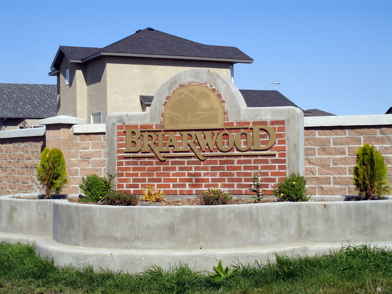
imagesize = 270px
image_caption = Briarwood entrance sign
flag_size =
image_
seal_size =
image_shield =
shield_size =
city_logo =
citylogo_size =
mapsize = 270px
map_caption = Briarwood location map
mapsize1 =
map_caption1 =
image_dot_
dot_mapsize =
dot_map_caption =
dot_x = |dot_y =
pushpin_
pushpin_label_position =
pushpin_map_caption =
pushpin_mapsize =
subdivision_type = Country
subdivision_name = CAN
subdivision_type1 = Province
subdivision_name1 = SK
subdivision_type2 = City
subdivision_name2 = Saskatoon
subdivision_type3 = Suburban Development Area
subdivision_name3 = Lakewood
subdivision_type4 = Neighbourhood
subdivision_name4 = Briarwood
government_footnotes =
government_type = Municipal (Ward 9)
leader_title = Administrative body
leader_name =Saskatoon City Council
leader_title1 = Councillor
leader_name1 =Tiffany Paulsen
leader_title2 =
leader_name2 =
leader_title3 =
leader_name3 =
leader_title4 =
leader_name4 =
established_title = Annexed
established_date = 1975-1979
established_title2 = Construction
established_date2 = 1986-2001
established_title3 =
established_date3 =
area_magnitude =
unit_pref =
area_footnotes =
area_total_km2 = 1.7
area_land_km2 =
area_water_km2 =
area_total_sq_mi =
area_land_sq_mi =
area_water_sq_mi =
area_water_percent =
area_urban_km2 =
area_urban_sq_mi =
area_metro_km2 =
area_metro_sq_mi =
population_as_of = 2006
population_footnotes =
population_note =
population_total = 3,967
population_density_km2 =
population_density_sq_mi =
population_metro =
population_density_metro_km2 =
population_density_metro_sq_mi =
population_urban =
population_density_urban_km2 =
population_density_urban_sq_mi =
population_blank1_title = Average Income
population_blank1 = $105,651
population_density_blank1_km2 =
population_density_blank1_sq_mi =
timezone = UTC
utc_offset = -6
timezone_DST =
utc_offset_DST =
latd=52 |latm= 6|lats=31 |latNS=N
longd= 106|longm= 33|longs= 48|longEW=W
elevation_footnotes =
elevation_m =
elevation_ft =
postal_code_type =
postal_code =
area_code =
blank_name =
blank_info =
blank1_name =
blank1_info =
website = [http://www.briarwoodca.com/ Briarwood Community Association]
footnotes = City of Saskatoon NeighborhoodsBriarwood is a residential neighbourhood located in the southeast part of
Saskatoon ,Saskatchewan ,Canada . The majority of its residents live in low-density, single detached dwellings. As of 2006, the area is home to 3,967 residents. The neighbourhood is considered a middle to high-income area, with an average family income of $105,651, an average dwelling value of $251,418 and a home ownership rate of 98.6%.cite web
last =
first =
authorlink =
coauthors =
title = Briarwood neighbourhood profile
work =
publisher = City of Saskatoon - City Planning Branch
date = 2007
url = http://www.saskatoon.ca/org/city_planning/resources/neighbourhood_demographics/briarwood.pdf
format =
doi =
accessdate = 2007-10-21]History
The land where Briarwood now exists was originally farmland, owned by the late Mike Boychuk. He would become the owner of Boychuk Construction, a major Saskatoon homebuilder founded in 1945. [cite web
last =
first =
authorlink =
coauthors =
title = Boychuk Homes
work =
publisher =
date =
url = http://www.boychukhomes.com/aboutus.htm
format =
doi =
accessdate = 2007-10-21] Boychuk Drive, which forms Briarwood's western boundary, bears his name. The land was annexed by the city in the period between 1975 and 1979. [cite web
last =
first =
authorlink =
coauthors =
title = Populace - Spring 2006
work =
publisher = City of Saskatoon
date =
url = http://www.saskatoon.ca/org/city_planning/resources/populace_newsletter/Populace_Spring_2006.pdf
format =
doi =
accessdate = 2007-10-21] Home construction began in 1988, but reached its peak between 1996 and 2001.Profile]Unlike most Saskatoon neighbourhoods, which name streets to honour noteworthy individuals or places, Briarwood's streets all begin with the letter "B". This makes Briarwood and the neighbourhood of Eastview somewhat unique with their more generic street naming conventions.
Institutions
Education
In 2003, the Public School Board along with the Catholic School Board decided not to build schools in Briarwood. [cite web
last =
first =
authorlink =
coauthors =
title = Future Use of Undeveloped School Sites in Briarwood - Online Petition
work =
publisher =
date =
url = http://www.gopetition.com/petitions/future-use-of-undeveloped-school-sites-in-briarwood.html
format =
doi =
accessdate = 2007-10-21]Government and politics
Briarwood exists within the federal electoral district of
Blackstrap . It is currently represented byLynne Yelich of theConservative Party of Canada , first elected in 2000 and re-elected in 2004 and 2006.Provincially, the area is within the constituency of
Saskatoon Southeast . It is currently represented by Don Morgan of theSaskatchewan Party , first elected in 2003.In Saskatoon's non-partisan municipal politics, Briarwood lies within ward 9. It is currently represented by Councillor
Tiffany Paulsen , first elected in 2000 and re-elected in 2003 and 2006.Parks and recreation
*Briarwood Linear Park (2.2 acres)
*Briarwood Swale (14.3 acres)
*Briarwood Lake Park (16.1 acres)
*Briarwood Neighbourhood Park (17.4 acres)The Briarwood Community Association represents local interests in discussions with the city on quality of life issues. To promote a sense of community, volunteers organize various events throughout the year, operate programs out of the Briarwood Recreation Centre and maintain the outdoor rink on Briarwood Pond. [cite web
last =
first =
authorlink =
coauthors =
title = Briarwood Community Association
work =
publisher = Briarwood Community Association
date =
url = http://www.briarwoodca.com/
format =
doi =
accessdate = 2007-10-21]Public services
Briarwood is a part of the east division of the Saskatoon Police Services patrol system. This division services east of the
South Saskatchewan River which encompasses the thirty one neighbourhoods, two industrial areas. [cite web
last =
first =
authorlink =
coauthors =
title = Saskatoon Police Service
work =
publisher =
date =
url = http://www.police.saskatoon.sk.ca/index.php?page_id=3&loc=divisions/east.php
format =
doi =
accessdate =2008-05-11 ] The three Saskatoon hospitals are located in other nearby neighborhoods. St. Paul's Hospital is located in Pleasant Hill,Royal University Hospital is located in theUniversity of Saskatchewan Land Management area, andSaskatoon City Hospital is located in City Park. Water is treated and supplied by the City of Saskatoon Water and Wastewater Treatment Branch.cite web
last =
first =
authorlink =
coauthors =
title = City of Saskatoon Departments Utility Services Water Treatment
work =
publisher =
date =
url = http://www.saskatoon.ca/org/water_treatment/index.asp
format =
doi =
accessdate = 2008-05-11] Briarwood is served by the City of Saskatoon Saskatoon Fire & Protective Services.cite web
last =
first =
authorlink =
coauthors =
title =
work = City of Saskatoon · Departments · Fire and Protective Services
publisher =
date =
url = http://www.city.saskatoon.sk.ca/dpt/fire_protective/index.asp
format =
doi =
accessdate =2008-05-11 ]Commercial
At present, no parts of Briarwood have commercial development. 65 home-based businesses exist in the area.Profile]
Location
Briarwood is located within the Lakewood Suburban Development Area. It is bounded by 8th Street to the north, Boychuk Drive to the west, Taylor Street to the south, and Canadian Pacific Railway tracks to the east. Inside those boundaries, the roads are a mix of local and collector roads.
Geographic Location (8-way)
Centre = Briarwood
North = College Park East
Northeast = R.M. of Corman Park
East = R.M. of Corman Park
Southeast = Rosewood
South = Lakewood Suburban Centre
Southwest = Lakeridge
West = Wildwood
Northwest = College Park East

References
External links
* [http://www.saskatoon.ca/org/city_planning/resources/neighbourhood_demographics/briarwood.pdf Briarwood neighbourhood profile - 2006]
* [http://www.saskatoon.ca/org/city_planning/zam_maps/index.asp City of Saskatoon City of Saskatoon · Departments · Community Services · City Planning · ZAM Maps]
* [http://www.saskatoon.ca/org/city_planning/resources/populace_newsletter/Populace_Spring_2006.pdf Populace Spring 2006]
* [http://www.briarwoodca.com Briarwood Community Association]
* [http://www.scs.sk.ca/saskatoon100/students/funstuff/wordsearches/neighbourhoods/neighbourhoods.html Saskatoon Neighborhoods Word Search Puzzle]
Wikimedia Foundation. 2010.