- California State Route 120
-
State Route 120

Route information Defined by S&HC § 420 Maintained by Caltrans Length: 152.562 mi[1] (246 km)
(Does not include the portion in Yosemite)Existed: 1934 – present Major junctions West end:  I-5 near Tracy
 SR 99 near Manteca
 SR 108 in Oakdale
 SR 49 near Chinese Camp
East end:  US 6 at Benton
Highway system State highways in California(list • pre-1964)
History • Unconstructed • Deleted • Freeway • Scenic←  SR 119
SR 121  →
→State Route 120 (SR 120), in northern California, runs between the Central Valley near Manteca, through Yosemite National Park, and ends at U.S. Route 6 in Mono County.
Contents
Route description
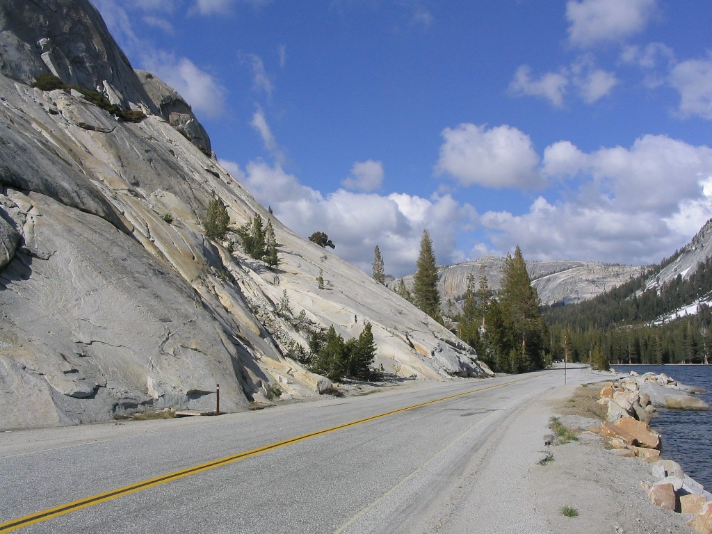
 Tioga Pass Entrance Station
This route is part of the California Freeway and Expressway System[2] and is eligible for the State Scenic Highway System.[3] However, it is not officially designated by Caltrans as a scenic highway.[4]

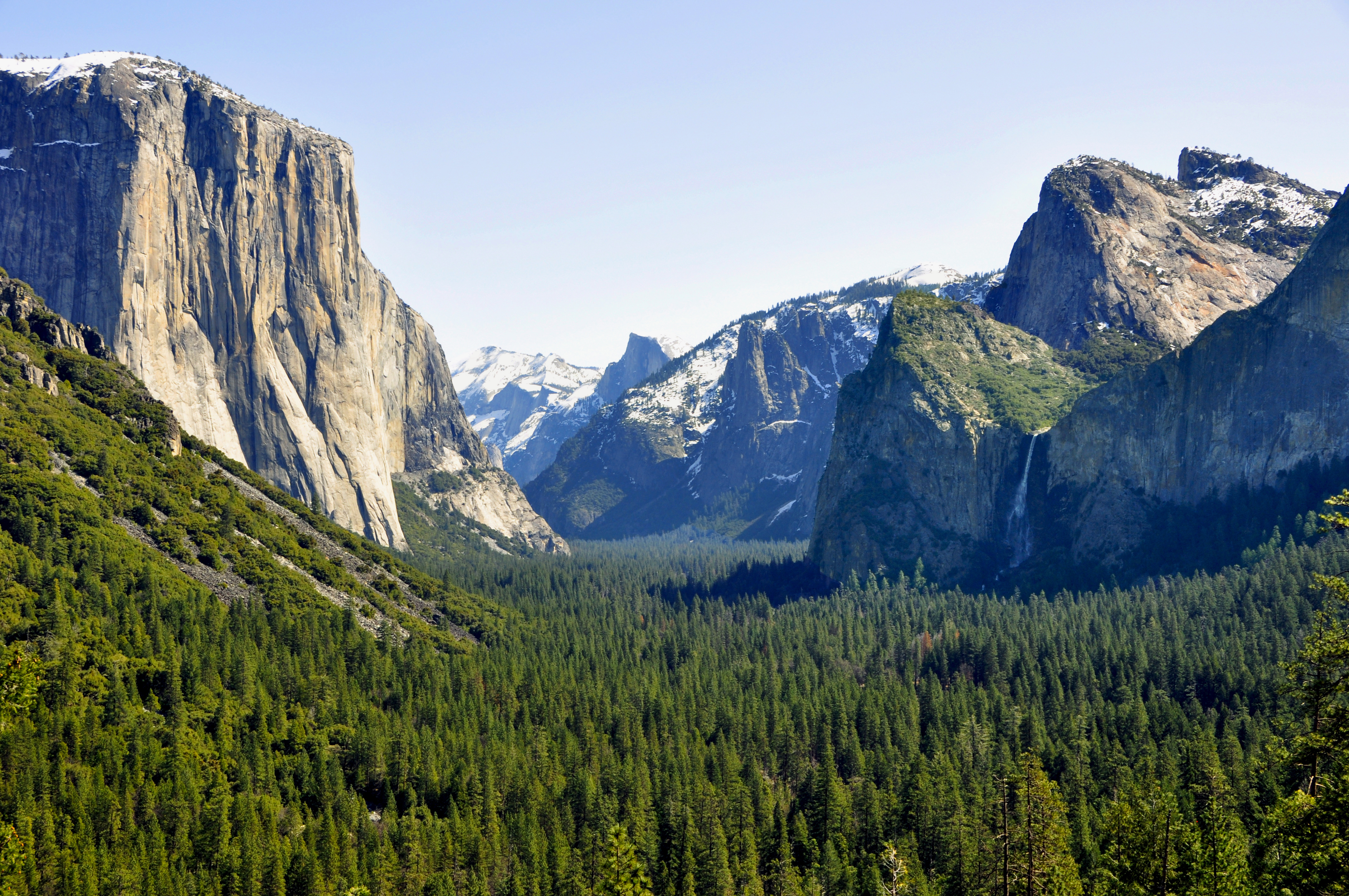
SR 120 begins as a freeway intersecting Interstate 5 to extend Interstate 205 through Manteca. In east Manteca the freeway ends at SR 99 and becomes a highway which continues to head east through Escalon, Oakdale and other various small towns. East of Oakdale there are no highly populated areas for 90 miles (144 km) as it heads into the foothills of the Sierra Nevada and into Yosemite National Park. After leaving Crane Flat within Yosemite, it is known as Tioga Pass Road,[5] and it retains that name as it travels through Tuolumne Meadows and over Tioga Pass on its 59-mile (95 km) journey to its intersection with U.S. Route 395, at Lee Vining. After a jog to the south along US 395, it continues east as the Mono Mills Road,[6] skirting the south end of Mono Lake and providing access to the Mono Lake South Tufa as well as the historical site of Mono Mills before cresting Sagehen Summit and ending with the intersection of U.S. Route 6 at Benton. Both the portions through Yosemite National Park and the stretch south of Mono Lake are subject to winter closure. Usually the highway is open through Tioga Pass by the Memorial Day weekend at the end of May, and typically closes for the winter sometime in November.
History
During the Gold Rush, SR 120 was originally known as Big Oak Flat Road, after the village of Big Oak Flat through which it passes in the Sierra foothills. It was a pack trail from Stockton which became popular with prospectors about 1849. By 1874 it was a wagon road which extended to the Yosemite Valley.
In 1921, the California State Assembly authorized San Joaquin County to transfer the county road connecting Manteca with then-Route 5 (now I-5) at Mossdale to the state.[7] It was numbered Route 66, as was a 1933 extension from Manteca east to Route 13 in Oakdale. Also in 1933, Route 40 was extended east from Mono Lake to Route 76 (US 6) at Benton.[8] The route from Manteca to Benton was marked as Sign Route 120 in 1934,[9] and was soon extended west to Mossdale,[10] replacing what had been part of U.S. Route 99W.[11]
Major intersections
- Note: Except where prefixed with a letter, postmiles were measured in 1964, based on the alignment as it existed at that time, and do not necessarily reflect current mileage. The numbers reset at some county lines; the start and end postmiles in each county are given in the county column.
County Location Postmile
[1][12][13]Exit
[14]Destinations Notes San Joaquin
SJ R0.49-21.18R0.49 1 I-5 – San Francisco, Los Angeles, Stockton, SacramentoWestbound exit and eastbound entrance; signed as exits 1A (south) and 1B (north); former US 50 west R1.33 1C Yosemite Avenue Signed as exit 1 eastbound Manteca R3.32 3 Airport Way (CR J3) – Sharpe Depot R4.31 4 Union Road R5.31 5 South Main Street T6.87
5.82[N 1]6 SR 99 south – Modesto, Fresno, Los AngelesWest end of SR 99 overlap Manteca East end of freeway on SR 99 6.65[N 1]
6.20 SR 99 north / Yosemite Avenue – Sacramento, Central MantecaInterchange; east end of SR 99 overlap 8.84  CR J5 (Jack Tone Road)
11.64 French Camp Road Escalon 
 CR J6 / CR J7 north (Escalon-Bellota Road, McHenry Avenue) – Farmington, Modesto
West end of CR J7 overlap R16.92 CR J7 south (Main Street) / Kern StreetEast end of CR J7 overlap Stanislaus
STA 0.00-T18.173.16  CR J9 north (Valley Home Road) – Valley Home
West end of CR J9 overlap  CR J14 north (Twenty-Six Mile Road)
West end of CR J14 overlap Oakdale 5.12 SR 108 west (F Street) / CR J9 / CR J14 south (Yosemite Avenue) – ModestoWest end of SR 108 overlap; east end of CR J9 / CR J14 overlap Tuolumne
TUO R0.00-R41.528.19  CR J59 (La Grange Road) – La Grange, Merced
 CR E15 (O'Byrnes Ferry Road) – Copperopolis
12.08 SR 108 east – SonoraEast end of SR 108 overlap Chinese Camp 15.52 SR 49 north – SonoraWest end of SR 49 overlap R23.90 SR 49 south – Coulterville, MariposaEast end of SR 49 overlap Groveland Ferretti Road – Pine Mountain Lake Buck Meadows R39.46 
 CR J132 (Smith Station Road, Greeley Hill Road) to SR 132 – Coulterville, Merced
West end of state maintenance at Yosemite National Park west boundary Mariposa
MPA R41.52-43.75Crane Flat Campground 
 To SR 41 / SR 140 / Big Oak Flat Road – Yosemite Valley
SR 120 subject to winter closure from Crane Flat to Lee Vining Tuolumne
TUO 43.75-R56.15No junctions East end of state maintenance at Yosemite National Park east boundary Mono
MNO R0.00-58.99Lee Vining R12.06
50.74[N 2] US 395 north / Airport Road – Lee Vining, Reno
West end of US 395 overlap June Lake Loop North Junction 46.40[N 2]  SR 158 south – June Lake
SR 158 subject to winter closure from North Junction to Silver Lake Mono Mills Junction 45.96[N 2]
13.37 US 395 south – BishopEast end of US 395 overlap; SR 120 subject to winter closure from Mono Mills to Benton Crossing Road Benton 58.99 US 6 – Tonopah, Bishop1.000 mi = 1.609 km; 1.000 km = 0.621 mi
Concurrency terminus • Closed/Former • Incomplete access • UnopenedReferences
- ^ a b California Department of Transportation, State Truck Route List (XLS file), accessed February 2008
- ^ CA Codes (shc:250-257)
- ^ CA Codes (shc:260-284)
- ^ "Officially Designated State Scenic Highways and Historic Parkways". California Department of Transportation. December 7, 2007. http://www.dot.ca.gov/hq/LandArch/scenic_highways/. Retrieved June 23, 2011.
- ^ Trexler, Keith A, "The Tioga Road a History 1883-1961" (1961, 1980)
- ^ Kaiser, Cameron, "Floodgap Roadgap's Summer of 6"
- ^ Statutes 1921 p. 1627: State highway in San Joaquin County
- ^ California Department of Transportation, State Highway Routes: Selected Information, 1994 with 1995 revisions
- ^ State Routes will be Numbered and Marked with Distinctive Bear Signs, California Highways and Public Works, August 1934
- ^ H.M. Gousha Company, California, 1942
- ^ American Association of State Highway Officials, log of U.S. Highways, American Highways, ca. 1932
- ^ California Department of Transportation, Log of Bridges on State Highways, July 2007
- ^ California Department of Transportation, All Traffic Volumes on CSHS, 2005 and 2006
- ^ California Department of Transportation, California Numbered Exit Uniform System, SR-120 Eastbound and SR-120 Westbound, accessed February 2008
- Map: "Stanislaus National Forest, California," U.S. Forest Service, 1979.
External links
- Caltrans: Route 120 Road Conditions
- Tioga Road (Highway 120 through the Yosemite National Park) conditions
Categories:- State highways in California
- Roads in San Joaquin County, California
- Roads in Stanislaus County, California
- Roads in Tuolumne County, California
- Roads in Mariposa County, California
- Roads in Mono County, California
- Yosemite National Park
- Freeways in California
- Scenic highways in California


Wikimedia Foundation. 2010.