- Mammoth Yosemite Airport
-
Mammoth Yosemite Airport 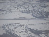
IATA: MMH – ICAO: KMMH Location of the Airport in California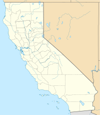
 MMH
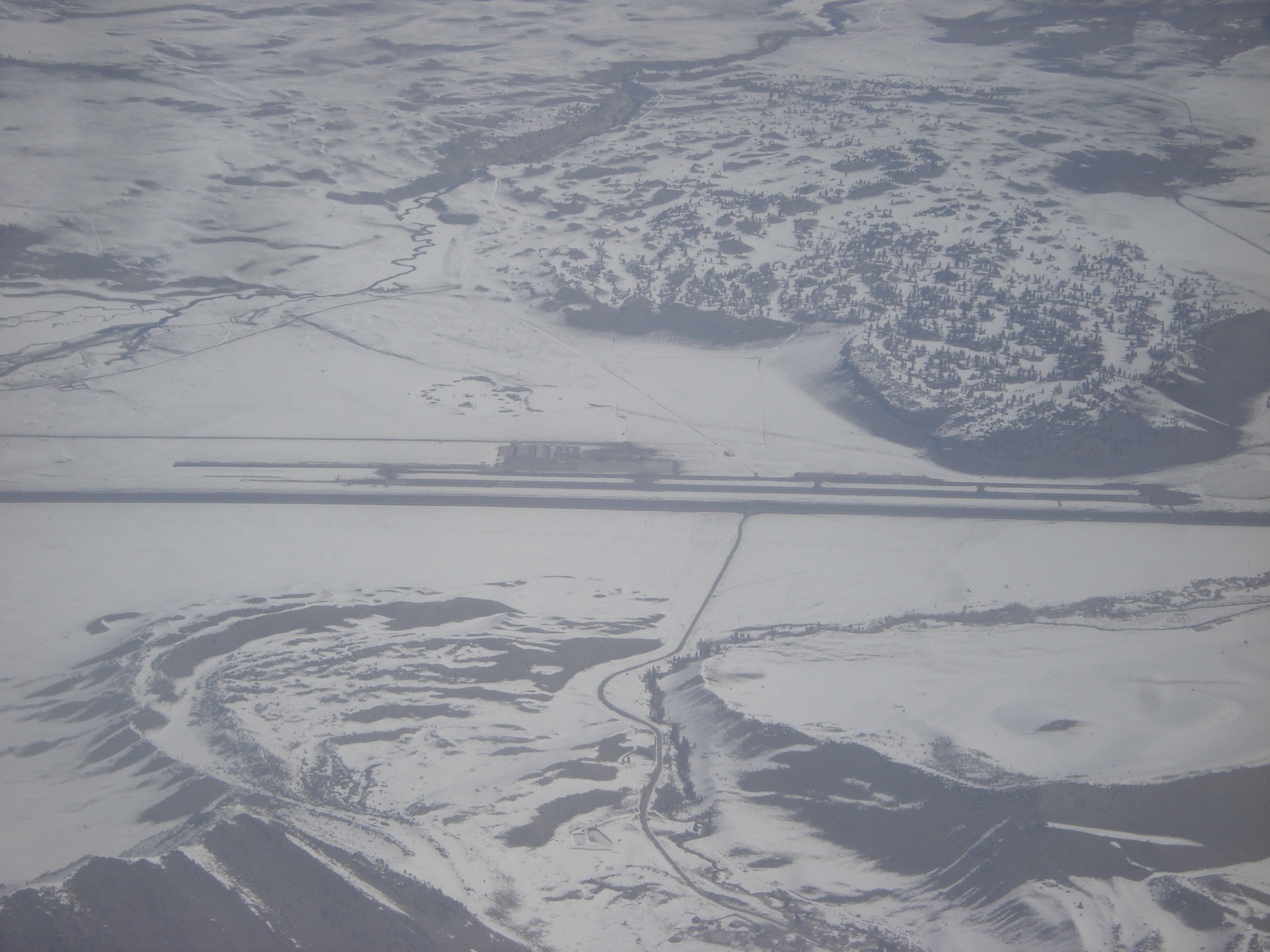
MMHSummary Airport type Public Operator City of Mammoth Lakes Location Mammoth Lakes, California Elevation AMSL 7,128 ft / 2,173 m Coordinates 37°37′26.575″N 118°50′15.98″W / 37.62404861°N 118.8377722°W Runways Direction Length Surface ft m 9/27 7,000 2,134 Asphalt Mammoth Yosemite Airport (IATA: MMH, ICAO: KMMH) is a public airport located six miles (9.7 km) east of Mammoth Lakes, serving Mono County, California, USA. The airport has one runway and is mostly used for general aviation but is also served by two commercial airlines.
Airlines and destinations

Airlines Destinations Alaska Airlines operated by Horizon Air Los Angeles,[1]
Seasonal: San Jose (CA)United Express operated by SkyWest Airlines Seasonal: Orange County [begins December 16][2], San Diego [begins December 15][2], San Francisco References
- ^ http://news.sierrawave.net/eastern-sierra-news/3201-2010-winter-air-service-to-mammoth-called-a-success[dead link]
- ^ a b New Non-Stop Winter Flights From San Diego and Orange County and Expanded Service from San Francisco to Mammoth Mountain Announced by United Airlines, Business Wire ,September 20, 2011, Retrieved 2011-09-20
- Official website by the town of Mammoth Lakes
- Airport Master Record (FAA Form 5010), also available as a printable form (PDF)
External links
- Resources for this airport:
- AirNav airport information for KMMH
- ASN accident history for MMH
- FlightAware airport information and live flight tracker
- NOAA/NWS latest weather observations
- SkyVector aeronautical chart, Terminal Procedures for KMMH
Categories:- Airports in Mono County, California
- Sierra Nevada (U.S.)
- California airport stubs


Wikimedia Foundation. 2010.