- 1997 Merced River flood
-
Merced River Flood, December 31, 1996–January 5, 1997 Duration: December 31, 1996 to January 5, 1997, peaking on January 2, 1997 Fatalities: 0[1] Damages: $178,000,000[2] Areas affected: Yosemite Village, Yosemite Valley, Yosemite National Park, Mariposa County, California - Yosemite flood redirects here.
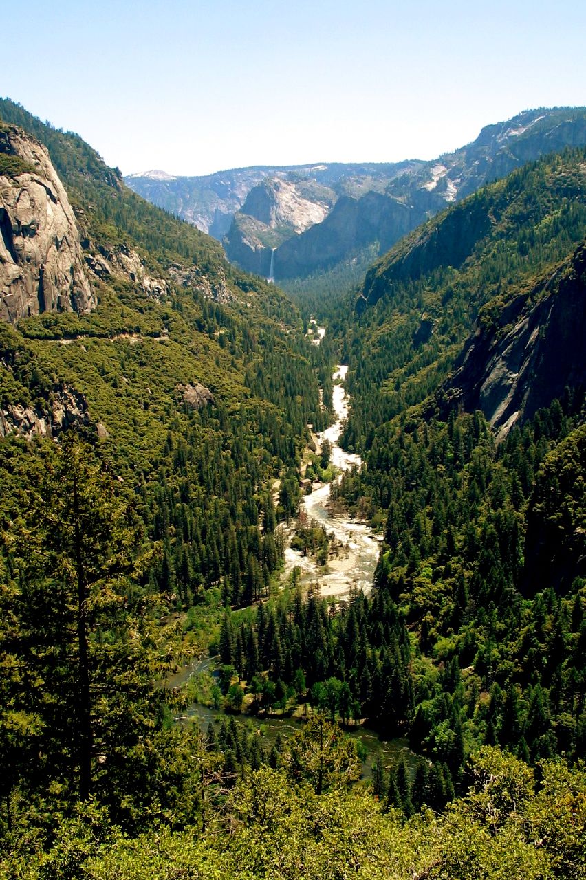
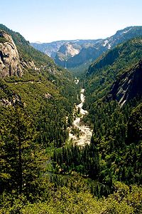 The Merced River, shown here downstream from Yosemite Valley, flooded torrentially from 31 December-5 January 1996-97.
The January 1997 flood of the Merced River (flooded/flooded from the watershed/floodplain of the Merced River) occurred from December 31, 1996 to January 5, 1997 throughout the Yosemite Valley in Yosemite National Park, Mariposa County, California, USA. The flood stands as arguably the park's worst natural disaster to date (some would give this designation to the rockfall of 1996), and inarguably the worst flood in park history[3][4]. The Merced River at Happy Isles peaked at 10,100 cubic feet per second during the flood.[4] A book was written on the flood later in 1997 by Mark Goodin titled Yosemite: The 100-Year Flood.
Contents
Beginnings
Thoughts about flooding at the end of 1996 would likely have been directed toward a May[3] 1996[3][4] flood that had been, at the time, the fifth worst flood in park history. The 1997 flood would soon bump this flood down to sixth on the list.[4]
On New Years' Eve, 1996, an unusually warm, tropical rain began to fall.[2] Deep mountain snowpacks then began melting during a torrential 24-hour rainfall on January 1–2, 1997. The rain and melted snow overflowed small creeks and eventually the large Merced River, which had carved Yosemite Valley. [1]
Effects
The flooding stranded 2,100 visitors in the park. Stranded New Years' vacationers were finally able to begin leaving Yosemite Valley on January 3, as the worst of the flooding was over, though the drive out of the park still saw many cars partially submerged in water.
All roads out of the park—Highway 120, Highway 41, and Highway 140—were inundated by the floodwaters.
Though there were luckily no human fatalities, Yosemite Valley suffered many damages. Trails and bridges were badly damaged, and about half of all accommodations were destroyed. Yosemite Lodge, which has its hotel rooms in separate individual buildings, had 189 cabins and 108 hotel rooms badly damaged or destroyed in the flooding, drastically depleting the hotel's capacity. Half of all campsites were destroyed. Trash cans, picnic tables, bearproof storage boxes, and fire grates floated down the river. [2]
The estimated cost of rebuilding the Upper Pines, Lower River, and Upper River campgrounds was $3 million. Total park damages were estimated at $178 million.
Highway 120 west out of the park was inundated in many areas and closed for nearly half a year for repairs.[1]
Damage assessment was delayed considerably due to a cold front and subsequent snowstorm that brought frozen precipitation back to the Valley on January 5. [2]
Other areas affected
Other towns affected by the floods included:
Top five Yosemite floods
Rank Date Recurrence Interval Instantaneous Peak in
Cubic feet per second1 1/2/97 89 years 10,100 2 12/23/55 45 years 9,860 3 11/18/50 30 years 9,260 4 12/23/64 22 years 9,240 5 12/11/37 18 years 8,400 Source: [4] Suggested reading
See also
References
Categories:- Yosemite National Park
- Natural disasters in California
- History of Mariposa County, California
Wikimedia Foundation. 2010.