- Ostrander Lake
-
For the Lake in Michigan's Upper Peninsula see: Ostrander Lake (Michigan)
Ostrander Lake 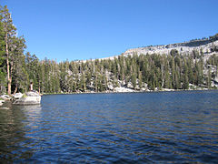
August 2005 Location Yosemite National Park, Mariposa County, California, USA Coordinates 37°37′28″N 119°33′02″W / 37.62444°N 119.55056°WCoordinates: 37°37′28″N 119°33′02″W / 37.62444°N 119.55056°W Primary outflows Bridalveil Creek Basin countries United States Surface elevation 8,500 ft (2,600 m) References [1] Ostrander Lake is located in Yosemite National Park, approximately 10 miles (16 km) south of Yosemite Valley and 10 miles (16 km) east of the Badger Pass Ski Area, at an elevation of 8,500 feet (2,600 m). The lake is a popular destination for cross-country skiers during the winter. It is the primary source of Bridalveil Creek, which feeds Bridalveil Falls.
Contents
Hiking Trail
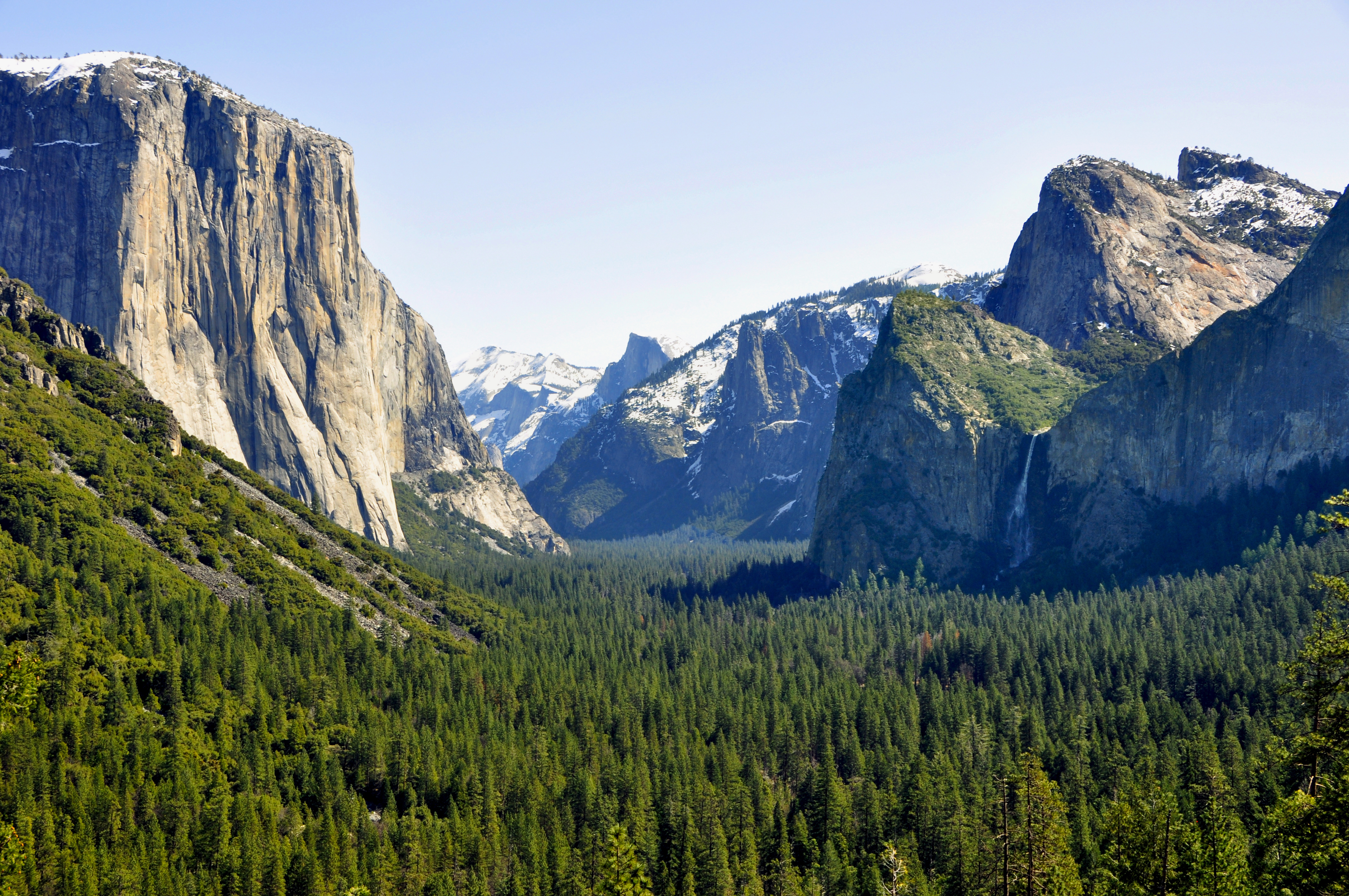
The hike to Ostrander Lake is a long and strenuous 12.7 miles (20.4 km) roundtrip hike starting from the trailhead located just after Bridalveil Creek on the Glacier Point road.[2] The hike begins with a fairly level path through an extensive burned over and regrowth area, with both shaded and sunny areas. The second half of the hike climbs, steeply at times, over 1,500 feet (460 m) in elevation in about 3 miles. Hikers will have a nice view of Clark Range before dropping down to the north shore of the lake. Several excellent campsites can be found on the west side of the lake, particularly on the benches overlooking the rocky ridge that forms the eastern shore backdrop. Fishing is fair for 10-12" rainbow trout. In the summer, the lake is a great backpacking destination because the ski hut is unoccupied but its presence keeps away the hordes of hikers looking for a "wilderness" destination. The lake is named for a descendant of Alexander Ostrander (1783) of Smithfield NY. This branch of Ostrander family settled in Colorado (Georgetown, Granby, Hot Sulphur Springs, Golden) prior to 1872, and some moved from Colorado to California.
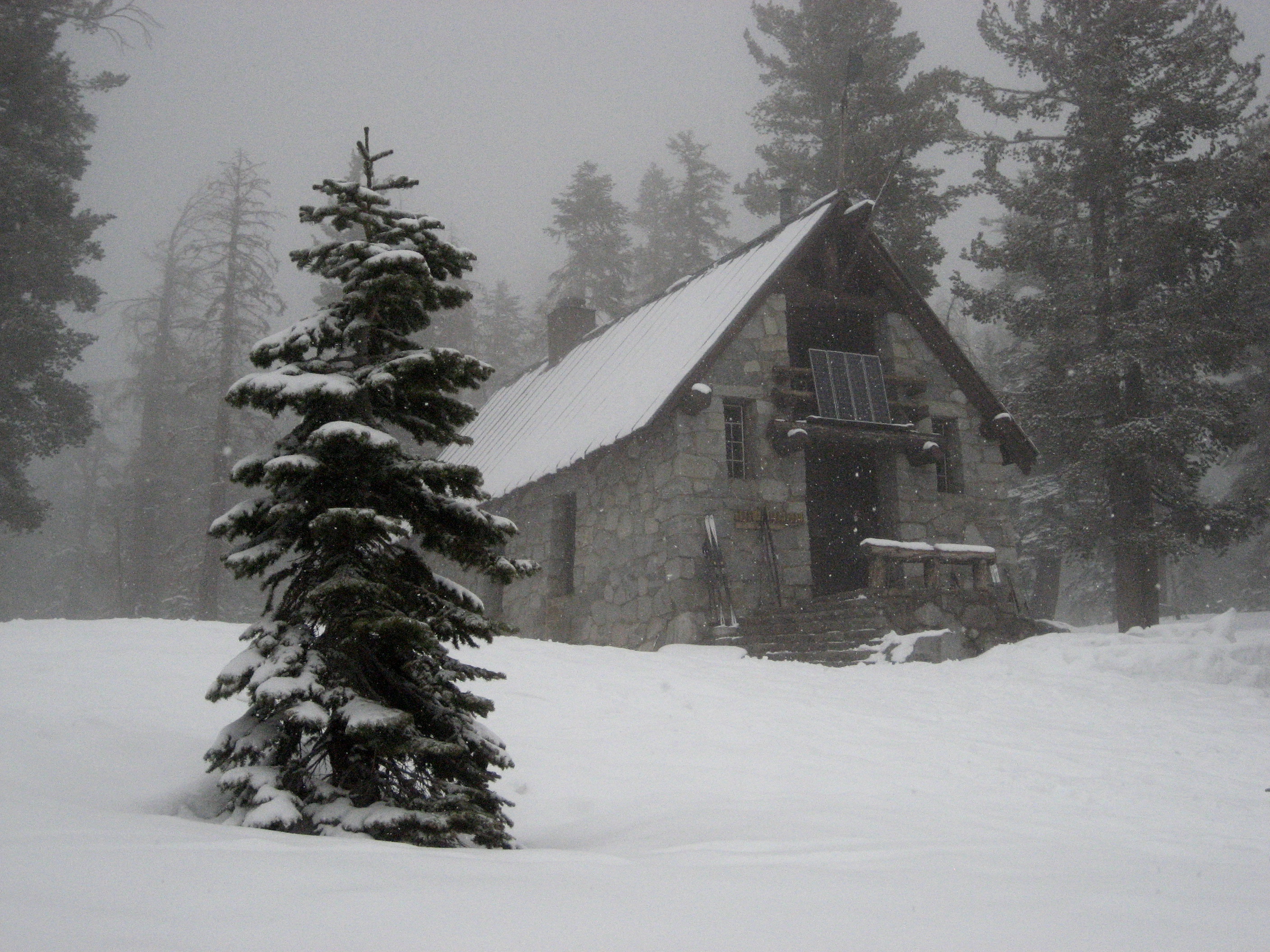
The Ostrander Ski Hut
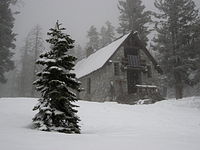 Ostrander Ski Hut, March 2007
The Ostrander Ski Hut is a two story stone structure built in 1941 by the Civilian Conservation Corps specifically for cross-country skiers.[3] The hut sits in a small glacial cirque at the edge of Ostrander Lake. Very basic overnight accommodations and cooking facilities are available at the hut. It sleeps 25 people and has bunks, mattresses, wood stove, a kitchen with a gas stove for cooking and assorted pots and pans available for the visitor's use. Drinking and wash water is hauled from the lake in buckets; treatment is the individual visitor's responsibility. Light is from solar powered lights.
In winter, when the Glacier Point Road is closed at Badger Pass Ski area, the trail to Ostrander Ski Hut is ten miles one way. The trip is not for novices.
The Ostrander Ski Hut is operated by the Yosemite Conservancy, a non-profit educational organization in Yosemite National Park.
References
- ^ "Ostrander Lake". Geographic Names Information System, U.S. Geological Survey. http://geonames.usgs.gov/pls/gnispublic/f?p=gnispq:3:::NO::P3_FID:264410.
- ^ "Day Hikes along the Glacier Point Road". http://www.nps.gov/yose/planyourvisit/glacierhikes.htm. Retrieved 2008-05-06. NPS
- ^ "Wilderness in Winter". http://www.nps.gov/yose/planyourvisit/wildwinter.htm. Retrieved 2008-05-06. NPS
External links
Categories:- Lakes of Mariposa County, California
- Lakes of Yosemite National Park

Wikimedia Foundation. 2010.