- Chicopee Falls Dam
-
Chicopee Falls Dam 
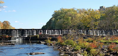
Chicopee Falls DamOfficial name Chicopee Falls Dam Location Chicopee, Massachusetts Coordinates 42°09′36″N 72°34′51.5″W / 42.16°N 72.580972°WCoordinates: 42°09′36″N 72°34′51.5″W / 42.16°N 72.580972°W Construction began late 1800 Dam and spillways Height 10 ft (3.05 m) Length 300 ft (91.44 m) Impounds Chicopee River Reservoir Creates Chicopee Reservoir The Chicopee Falls Dam is a masonry stone dam that parallels Route 33 (Bridge Street) in Chicopee, Massachusetts. It is part of the Chicopee River Watershed. The dam was constructed in the late 19th century,[citation needed] and is currently owned by the City of Chicopee. It impounds the waters of the Chicopee River at Chicopee Falls, to form the Chicopee Reservoir.
This is the third to last dam on the Chicopee River before it empties into the Connecticut River just north of Springfield.[citation needed]
Flash-boards have been installed to raise the level of the impoundment above the original height of the dam. Therefore, the dam's effective height is greater than the 10 feet (3.05 m) shown in its specifications.
Other dams
There are five other dams on this segment of the Chicopee River: Just downstream from the Chicopee Falls dam is Dwight Dam, located off Grape St. in Chicopee. The next dam upstream is the Indian Orchard Dam north of Route 141 adjacent to an old mill on Front Street. Putts Bridge Dam at Route 21 between Ludlow and the Indian Orchard section of Springfield, the Collins Hydro Dam at Chapin Street between Ludlow and Wilbraham, and the Red Bridge Dam off East Street between Ludlow and Palmer. The Putts Bridge Dam was constructed in 1918 as a concrete gravity structure. It rises 22 ft (6.7 m) from the bed of the Chicopee River. The Indian Orchard Dam is a cut stone dam with 28 ft (8.53 m) of height above the river. Each of these dams generate hydroelectric power. The Dwight Dam is cut stone with height of 15 ft.
There is the remnants of the Ames Sword Company Dam, just downstream from Dwight Dam, this is the last dam on the Chicopee River before it empties into the Connecticut. There also used to be a low-head dam just upstream of the Putts Bridge Dam alongside the old Ludlow Mills.
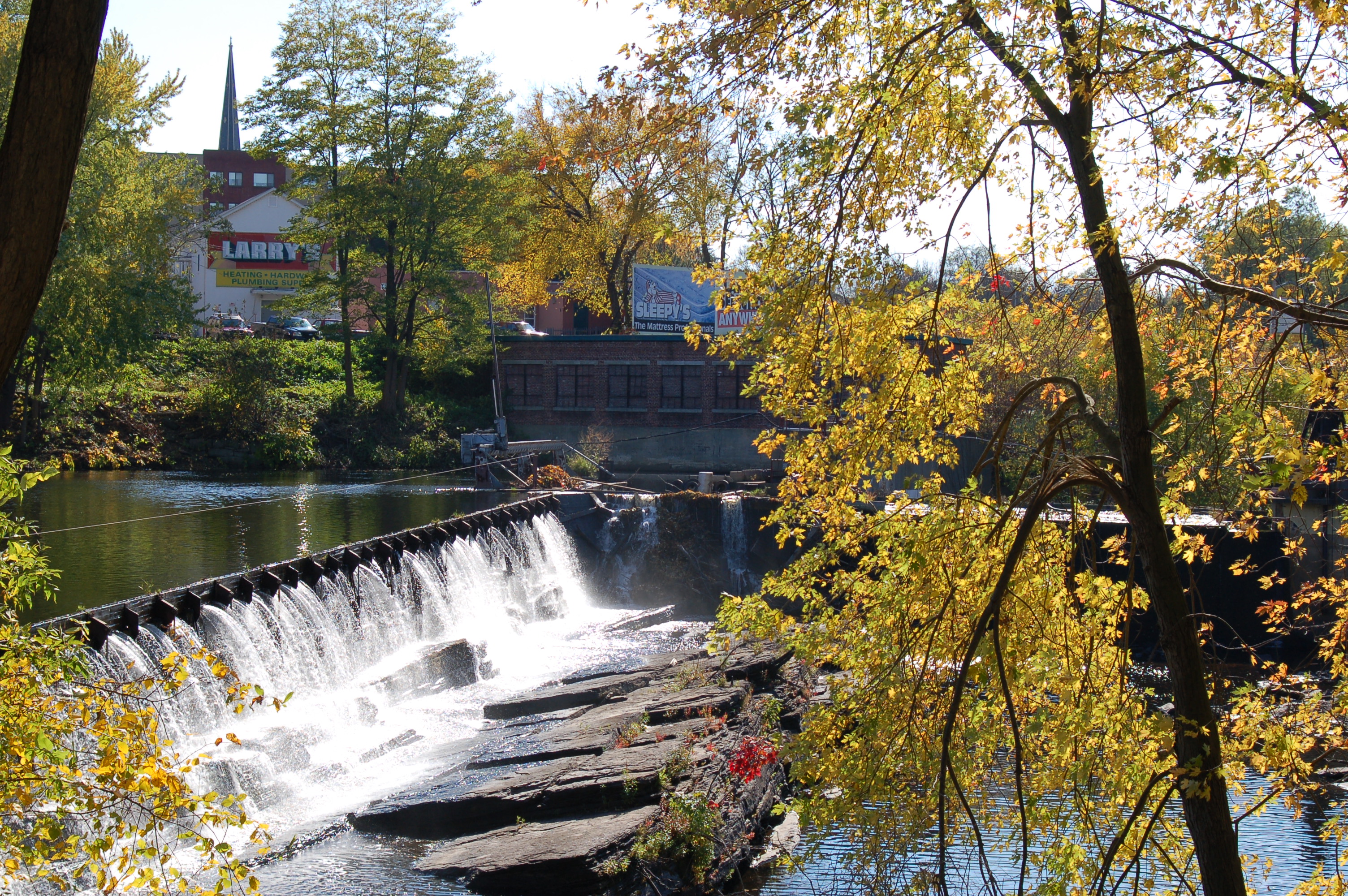
 View from below Chicopee Falls
References
Categories:- Buildings and structures in Chicopee, Massachusetts
- Dams in Massachusetts

Wikimedia Foundation. 2010.