- Chicopee River
-
Chicopee River 
Chicopee FallsOrigin Palmer, Massachusetts Mouth Connecticut River Basin countries USA Length 18.0 miles Basin area 721 square miles (1,870 km2) The Chicopee River is an 18.0-mile-long (29.0 km)[1] tributary of the Connecticut River in Metropolitan Springfield, Massachusetts, known for fast-moving water and its extraordinarily large basin: the Connecticut River's largest tributary basin. [2] The Chicopee River originates in a Palmer, Massachusetts village called Three Rivers, and then flows into the Connecticut River after passing through Ludlow, the Indian Orchard neighborhood of Springfield, and then curving sharply northwest before finding its confluence in downtown Chicopee, Massachusetts.
Contents
Largest Connecticut River tributary basin
Although the Chicopee River itself is only 18 miles long, its basin (drainage area) is 721-mile-long (1,160 km) -- the largest in all of Massachusetts, and the largest tributary area (basin) to the Connecticut River. [3] A basin tributary to the Connecticut River represents a geographical area with a stream or other body of water, surface or underground, that contributes water to the Connecticut River. With so many streams and rivers that deliver water to the Connecticut River, the scale of the Chicopee River's Basin is extraordinarily voluminous.
Indeed, the Chicopee River Watershed includes all or part of 32 cities and towns. [4]
260-foot drop in 18 miles
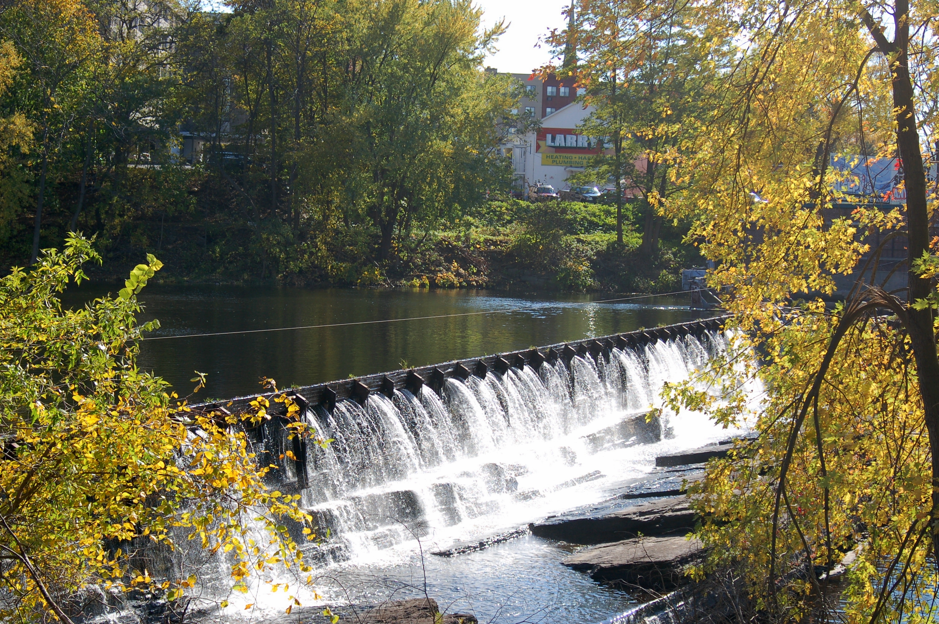
During the Industrial Revolution, the Chicopee River became a particularly sought-after destination for hydropower, largely because it drops 260 feet during its 18 mile course to the Connecticut River. By comparison, the meandering Connecticut River drops just 50 feet from Chicopee to Old Saybrook, Connecticut, where it empties into the Long Island Sound. [5] Fr this reason, numerous mills were built along the Cjicopee River; today, many of them can be found in various states of repurposing, with a particularly famous mill in Springfield Indian Orchard serving as artists' space. [6]
Due in part to its precipitous drop, as of 2011, there are six hydropower dams on the Chicopee River. The average flow of the Chicopee River is 900 cubic feet per second, or about 581,644,800 gallons per day. [7]
History
Historical texts often state that the Chicopee River flows into the Connecticut River at Springfield, Massachusetts; however, in 1848, the City of Chicopee was created out of the northern half of Springfield in effort to deprive Springfield of half of its land and half of its population to prevent it from becoming chartered as a city. The plan succeeded and thus Chicopee was created. (Despite this, Springfield became a city only four years later and Chicopee not long after that. Regardless, currently, the Chicopee River finds its confluence with the Connecticut River 0.5-mile (0.80 km) north of Springfield's northern border, in Chicopee - not Springfield.
References
- ^ U.S. Geological Survey. National Hydrography Dataset high-resolution flowline data. The National Map, accessed April 1, 2011
- ^ http://www.chicopeeriver.org/faqs.html
- ^ http://www.chicopeeriver.org/faqs.html
- ^ http://www.chicopeeriver.org/faqs.html
- ^ http://www.chicopeeriver.org/faqs.html
- ^ http://www.indianorchardmills.com/
- ^ http://www.chicopeeriver.org/faqs.html
External links
- "Chicopee River Watershed", Massachusetts Executive Office of Energy and Environmental Affairs
- River Watershed Council
Categories:- Rivers of Hampden County, Massachusetts
- Chicopee, Massachusetts
- Springfield, Massachusetts
Wikimedia Foundation. 2010.