- Moulsford
-
Coordinates: 51°33′04″N 1°08′42″W / 51.551°N 1.145°W
Moulsford-on-Thames 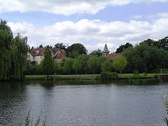
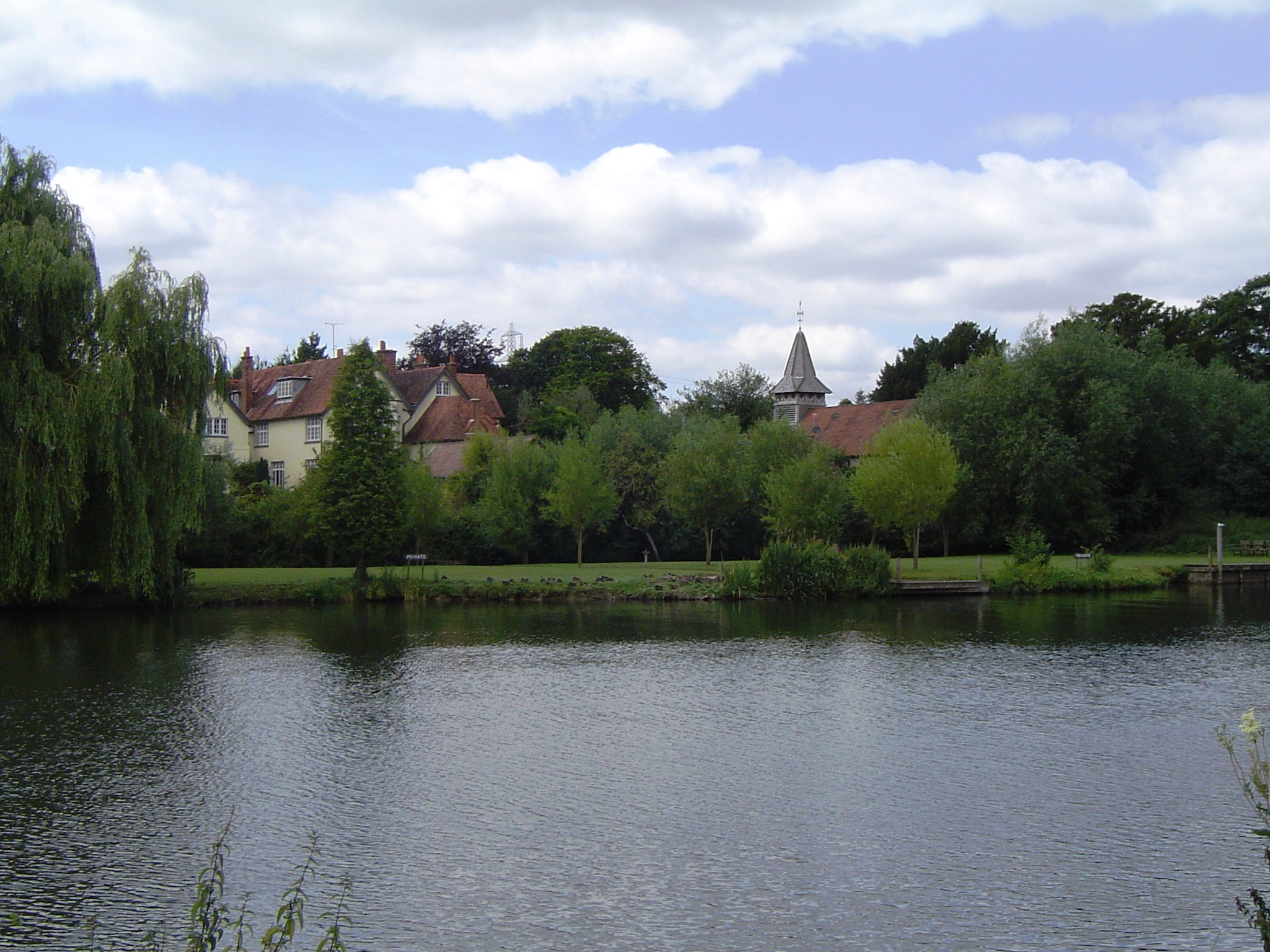
Moulsford from the River Thames
 Moulsford-on-Thames
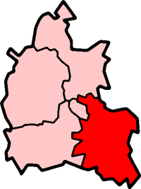
Moulsford-on-Thames shown within OxfordshirePopulation 526 (2001 census)[1] OS grid reference SU585835 Parish Moulsford District South Oxfordshire Shire county Oxfordshire Region South East Country England Sovereign state United Kingdom Post town Wallingford Postcode district OX10 Dialling code 01491 Police Thames Valley Fire Oxfordshire Ambulance South Central EU Parliament South East England UK Parliament Wantage Website Moulsford Village Website List of places: UK • England • Oxfordshire Moulsford is a village and civil parish in South Oxfordshire. In 1974 it was transferred from Berkshire to the county of Oxfordshire, and from Wallingford Rural District to the district of South Oxfordshire.
Moulsford is on the A329, by the River Thames, just north of Streatley and south of Wallingford. The west of the parish is taken up by the foothills of the Berkshire Downs, including the Moulsford Downs (a site of special scientific interest), Moulsford Bottom and Kingstanding Hill which is traditionally associated with King Alfred and the Battle of Ashdown. Like many other villages in Oxfordshire, it has been used for the filming of Midsomer Murders.
The Bronze Age 'Moulsford Torc' was discovered in the parish and bought by the Museum of Reading with the aid of a grant from the Art Fund in 1961. It is a hoop-shaped decorative neck ornament, made of four spirally-twisted gold-alloy strips held together by a delicate piece of twisted gold wire. In the Middle Ages Moulsford Manor was the English home of the powerful Carew family[2] who also held Carew Castle in Pembrokeshire.
Just north of Moulsford is Moulsford Railway Bridge on the Great Western Main Line, designed by Isambard Kingdom Brunel and built in 1838-1839.
The Beetle and Wedge east of the village is a public house on the River Thames, on the site of a former ferry crossing.
Contents
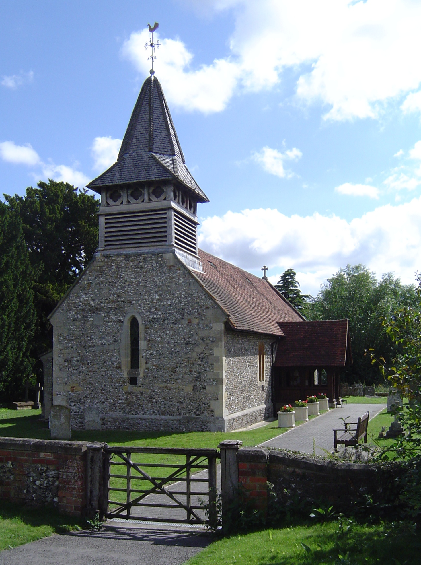
Parish church
 St John the Baptist parish church
Moulsford parish church began as a chapelry of Cholsey.[3] The first known record of the chapel dates from between 1220 and 1227.[3] The botanist and geologist John Stevens Henslow was its vicar in the 1830s.[citation needed]
In 1846 most of the mediaeval church was demolished and the current Church of England parish church of Saint John the Baptist, designed by Sir George Gilbert Scott, was built on its foundations.[3] Scott's Gothic Revival building retains the west wall of the original church, which includes a 13th century Early English Gothic lancet window, and the timber frame of the bellcote.[3]
References
- ^ "Area: Moulsford CP (Parish): Parish Headcounts". Neighbourhood Statistics. Office for National Statistics. http://neighbourhood.statistics.gov.uk/dissemination/LeadTableView.do?a=7&b=798668&c=Moulsford&d=16&e=15&g=480799&i=1001x1003x1004&o=1&m=0&r=1&s=1268954695515&enc=1&dsFamilyId=779. Retrieved 18 March 2010.
- ^ Royal Berkshire History: Moulsford Manor
- ^ a b c d Page & Ditchfield, 1923, pages 504-507
Sources & further reading
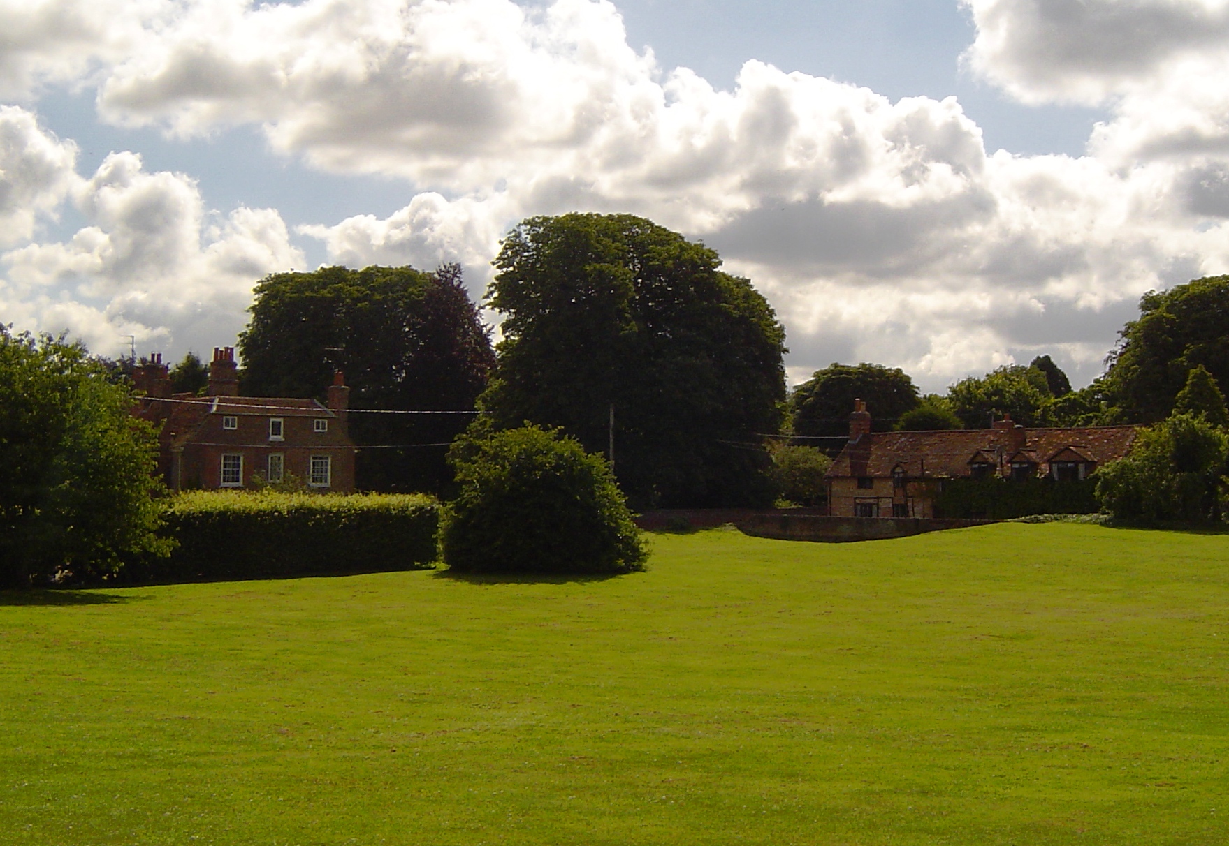
 Moulsford Green and recreation ground
- Page, William & Ditchfield, P.H. (1923). Victoria County History: A History of the County of Berkshire, Volume 3. pp. 504–507.
- Pevsner, Nikolaus (1966). The Buildings of England: Berkshire. Harmondsworth: Penguin Books. p. 179.
External links
 Media related to Moulsford at Wikimedia CommonsCategories:
- Villages in Oxfordshire
- Civil parishes in Oxfordshire

Wikimedia Foundation. 2010.