- Mongewell
-
Coordinates: 51°35′10″N 1°07′08″W / 51.586°N 1.119°W
Mongewell 
Mongewell Park
 Mongewell
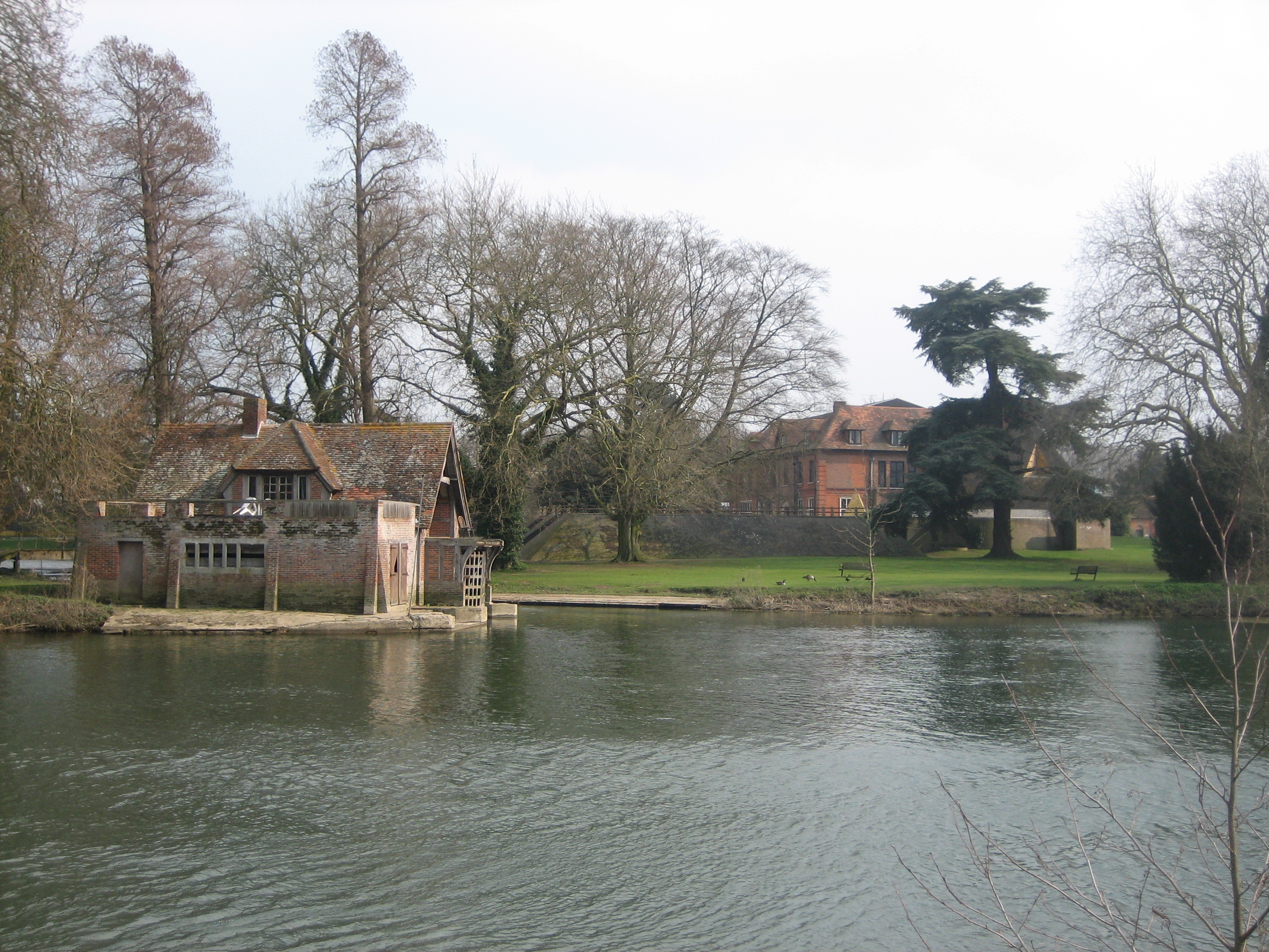
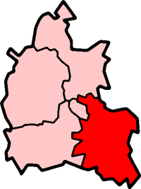
Mongewell shown within OxfordshireOS grid reference SU611877 Parish Crowmarsh District South Oxfordshire Shire county Oxfordshire Region South East Country England Sovereign state United Kingdom Post town Wallingford Postcode district OX10 Police Thames Valley Fire Oxfordshire Ambulance South Central EU Parliament South East England UK Parliament Henley List of places: UK • England • Oxfordshire Mongewell is a village in the civil parish of Crowmarsh, about 1 mile (1.6 km) south of Wallingford in Oxfordshire. Mongewell is on the east bank of the Thames, linked with the west bank at Winterbrook by the nearby Winterbrook Bridge. The earthwork Grim's Ditch, now part of the Ridgeway long-distance footpath, passes through Mongewell.
Contents
History
Mongewell was an ancient parish, mentioned in Domesday Book.[1] The parish church of St John the Baptist dates back to the 12th century.
Mongewell was a strip parish, a thin strip of land exyending into the Chiltern Hills[2] including part of Stoke Row.
The parish became a civil parish in the 19th century, but in 1932 the civil parish was abolished. Most of the parish joined the new civil parish of Crowmarsh, but a small part was added to Rotherfield Greys parish.[3]
Mongewell Park
Mongewell Park had previously been home to Shute Barrington, former Bishop of Llandaff.[when?]
Replacing the original Georgian Mongewell House of Barrington, a large brick mansion in William and Mary style was built in 1890 for Alexander Frazer whose initials can be seen on the lodge gates (Pedgley and Pedgley, 1990). After Fraser died in 1916, the house became a hospital for wounded officers in World War I. In 1918, it was sold to the American millionaire Howard Gould. Because he was an atheist, he had the lane to the now ruined Mongewell church sunk so that he would not see the parishioners attending service. He sold the house in 1939 and the Royal Air Force occupied it until 1945. In 1942 it became the Headquarters for No 2 Group RAF of Bomber Command led by Air Vice Marshal Basil Embry. On the Staff there for six months before his capture as a POW was the World War II night fighter ace, Wing Commander Bob Braham (Braham, 1984).
At the end of the war the house was once more used as a hospital before becoming derelict. A Jewish boarding school, Carmel College, was based at Mongewell Park from 1948 to 1997.
As of June 2007, it is planned to redevelop the site for housing.
See also
References
- ^ L. F. Salzman (editor) (1939). "The Domesday survey: The text". A history of the County of Oxford: Volume 1. Institute of Historical Research. http://www.british-history.ac.uk/report.aspx?compid=101938&strquery=Mongewell. Retrieved 20 August 2011.
- ^ Vision of Britain: Boundary map
- ^ Vision of Britain website
Further reading
- Braham, J.R.D. (1984) Night Fighter, Specially illustrated edition, New York : Bantam Books, p. 186–195, ISBN 0-553-24127-3
- Pedgley, B. and Pedgley, D. (1990) Crowmarsh – A history of Crowmarsh Gifford, Newnham Murren, Mongewell and North Stoke, Crowmarsh History Group, p. 50–54, ISBN 0-9516305-0-4
Categories:- Villages in Oxfordshire

Wikimedia Foundation. 2010.