- Cuxham
-
Coordinates: 51°39′07″N 1°02′17″W / 51.652°N 1.038°W
Cuxham 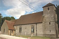
Holy Rood parish church
 Cuxham
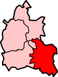
Cuxham shown within OxfordshireOS grid reference SU6695 Parish Cuxham with Easington District South Oxfordshire Shire county Oxfordshire Region South East Country England Sovereign state United Kingdom Post town Watlington Postcode district OX49 Dialling code 01491 Police Thames Valley Fire Oxfordshire Ambulance South Central EU Parliament South East England UK Parliament Henley List of places: UK • England • Oxfordshire Cuxham is a small village in the civil parish of Cuxham with Easington in South Oxfordshire. It is about 5.5 miles (8.9 km) north of Wallingford and about 6 miles (9.7 km) south of Thame.
Contents
Parish church
The Church of England parish church of the Holy Rood has a Norman bell tower.[1] The century gothic windows on the north side of the nave were inserted in the 14th century and some of the windows in the tower were added in the 15th century.[2] The windows on the south side of the nave were probably inserted in the 17th century and the church was heavily restored in the 18th century.[2] The Gothic Revival architect C.C. Rolfe rebuilt the chancel in 1895.[2]
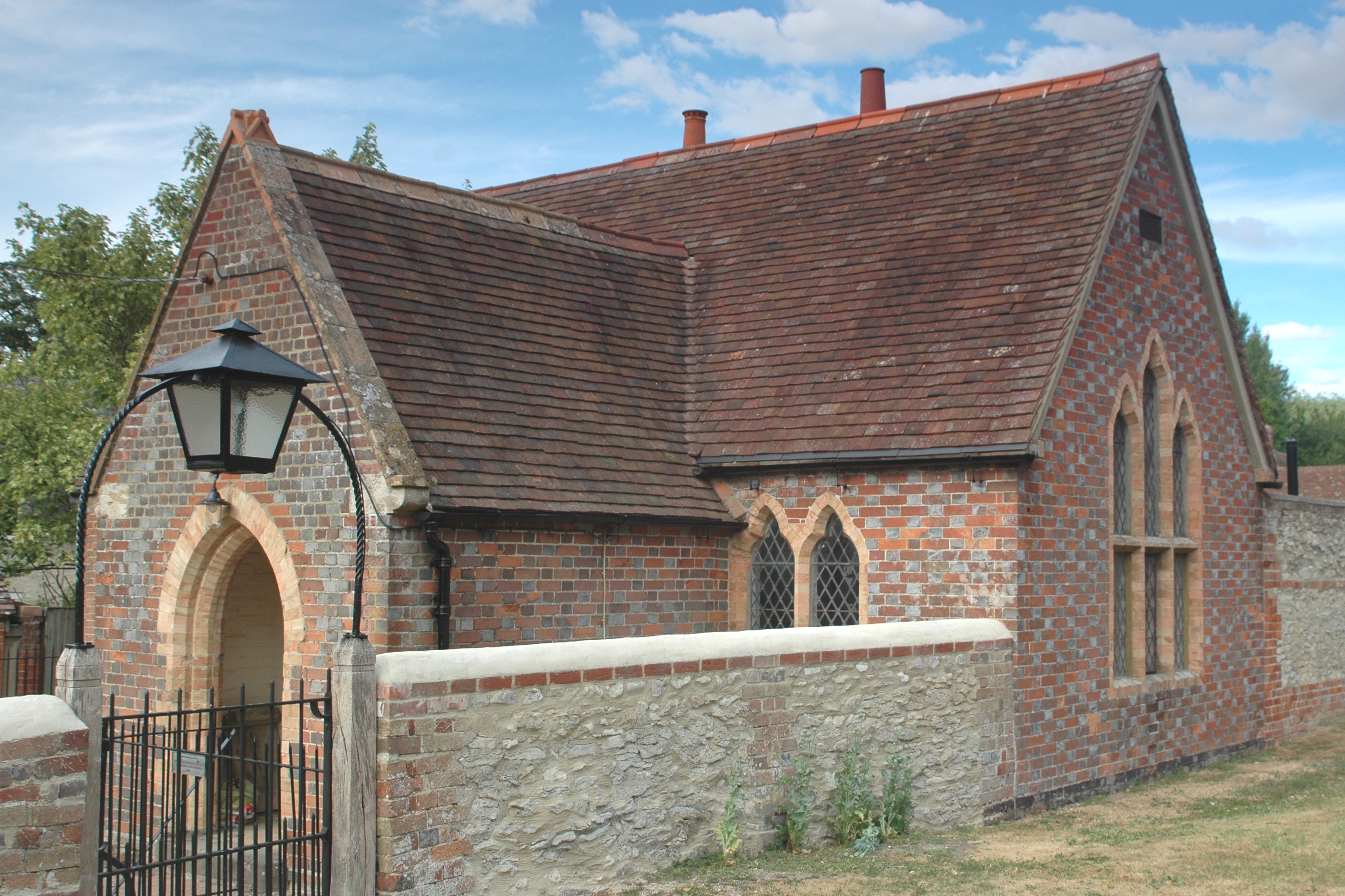
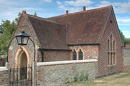 Former parish school
The Rectory is Georgian and was built about 1800.[2] Since 1983 Holy Rood has been part of a united benefice with Easington, Brightwell Baldwin and Ewelme.[3]
Amenities
Cuxham has a gastropub, the Half Moon.[4]
References
- ^ Sherwood & Pevsner, 1974, page 567
- ^ a b c d Sherwood & Pevsner, 1974, page 568
- ^ Brightwell Baldwin: church
- ^ The Half Moon at Cuxham
Sources
- Sherwood, Jennifer; Pevsner, Nikolaus (1974). The Buildings of England: Oxfordshire. Harmondsworth: Penguin Books. pp. 567–568. ISBN 0 14 071045 0.
External links
 Media related to Cuxham at Wikimedia CommonsCategories:
- Villages in Oxfordshire
- South Oxfordshire
- Oxfordshire geography stubs


Wikimedia Foundation. 2010.