- Cilgerran
-
Coordinates: 52°03′12″N 4°38′02″W / 52.05322°N 4.63396°W
Cilgerran 
 Cilgerran
Cilgerran shown within PembrokeshireOS grid reference SN195427 Principal area Pembrokeshire Ceremonial county Dyfed Country Wales Sovereign state United Kingdom Post town CILGERRAN Postcode district SA43 Dialling code 01239 Police Dyfed-Powys Fire Mid and West Wales Ambulance Welsh EU Parliament Wales UK Parliament Preseli Pembrokeshire List of places: UK • Wales • Pembrokeshire 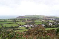 View over Cilgerran town
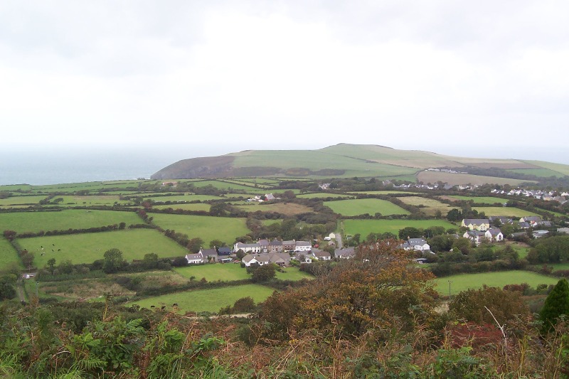
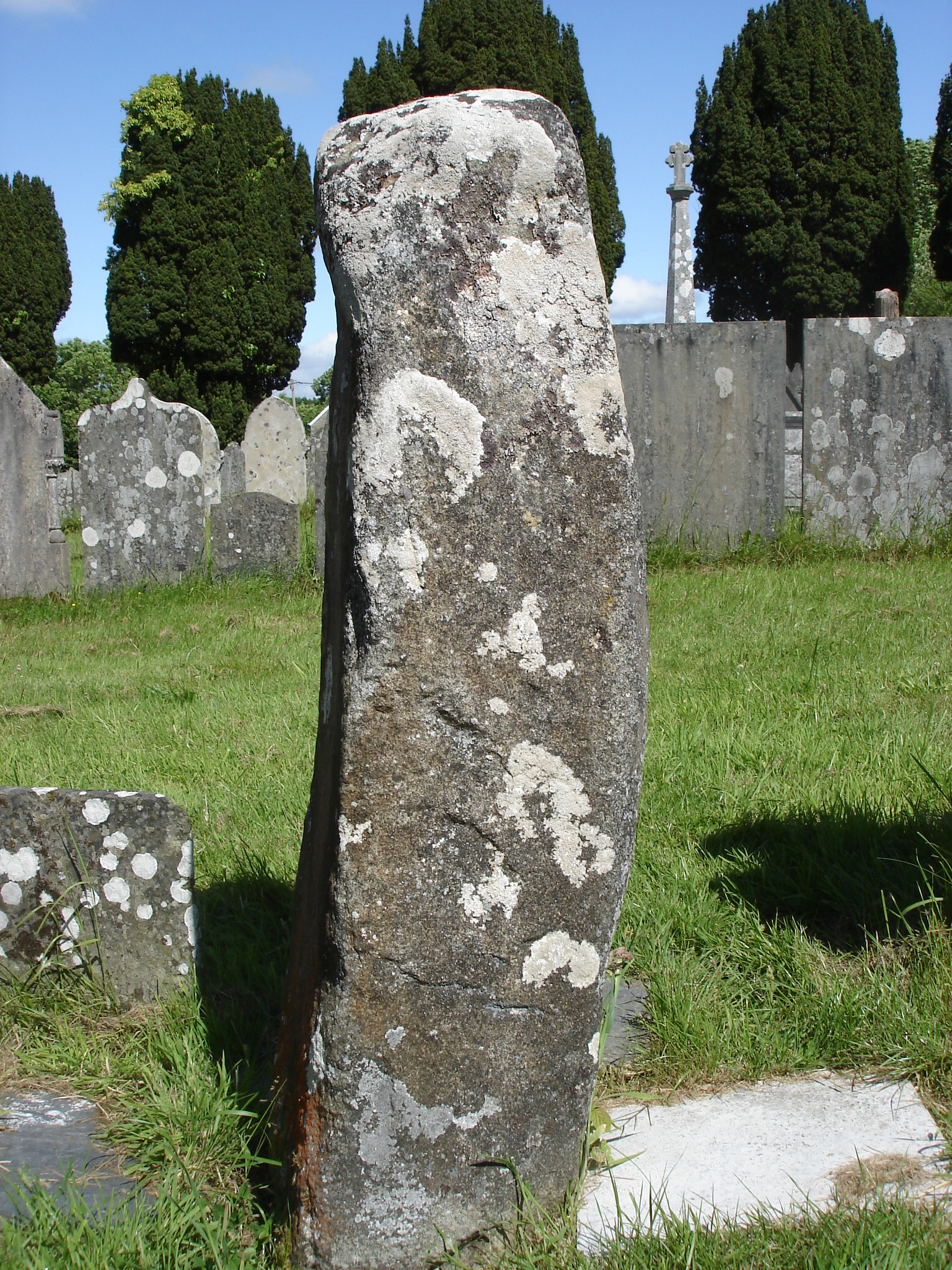
 Ogham Stone, St Llawddog's churchyard
Cilgerran is a town in the Hundred of Cilgerran, Pembrokeshire, Wales, lying on the River Teifi. It is the site of Cilgerran Castle, built in 1100, from which Owain of Powys is said to have abducted Nest in 1109. It is first mentioned by name in 1164. This is probably one of the most picturesque castles in Wales and has been painted by many artists including Turner.
The town is first mentioned in 1204 from when it was the administrative centre for a lordship until the sixteenth century. Although the town remained small it was considered one of the main market centres in Pembrokeshire in the seventeenth century. It was a marcher borough. Owen, in 1603, described it as one of five Pembrokeshire boroughs overseen by a portreeve,[1] and it still retains some of its corporate traditions.
Other attractions in the town include annual coracle races. This event, started in 1950, attracts competitors from all over the world.
The churchyard of St. Llawddog contains a megalithic standing stone or Ogham stone upon which Ogham writing can still be seen. Also contained in the churchyard is the burial site and memorial to William Edmond Logan of Mount Logan, Canada fame. Logan was the first director of Geological Survey of Canada and mapped the coal mines of South Wales. The memorial was erected in the centenary of his death.
The town was renowned for the quality of the slate that was mined there and exported through the port at Cardigan.
The census population of the parish of Cilgerran was: 854 (1801): 1266 (1851): 1033 (1901): 815 (1951): 703 (1981). The percentage of Welsh speakers was: 96 (1891): 94 (1931): 78 (1971).
The community of Cilgerran includes the parishes of Bridell and Llantood, and had a population of 1453 in 2001. Cilgerran is also an electoral ward of Pembrokeshire (including Manordeifi community); its population was 1931 in 2001, with 53% Welsh speakers. Cilgerran has its own elected town council.
References
- ^ Owen, George, The Description of Penbrokshire by George Owen of Henllys Lord of Kemes, Henry Owen (Ed), London, 1892
External links
Preceding station Historical railways Following station Boncath Great Western Railway
Whitland & Cardigan RailwayCardigan Categories:- Pembrokeshire electoral wards
- Communities in Pembrokeshire


Wikimedia Foundation. 2010.