- Crymych
-
Coordinates: 51°58′22″N 4°38′53″W / 51.97285°N 4.64815°W
Crymych 
 Crymych
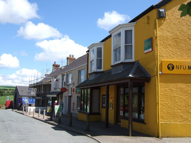
Crymych shown within PembrokeshirePrincipal area Pembrokeshire Country Wales Sovereign state United Kingdom Police Dyfed-Powys Fire Mid and West Wales Ambulance Welsh EU Parliament Wales UK Parliament Preseli Pembrokeshire Welsh Assembly Preseli Pembrokeshire List of places: UK • Wales • Pembrokeshire Crymych is a small village of around 400 inhabitants in the north of Pembrokeshire, Wales. The village developed around the former Crymmych Arms railway station on the now closed line, nicknamed the Cardi Bach (Little Cardi), which ran from Whitland to Cardigan.
Other than the Crymych Arms public house, which remains open to this day, little had existed at the spot before the coming of the railway. The community, however, grew rapidly as a service and transport centre for the surrounding uplands and acquired a reputation for being 'the Wild West of west Wales', reflected in the tongue-in-cheek appellation of Cowbois Crymych by which residents are sometimes known.
Crymych, which is twinned with Plomelin in Brittany, has its own elected community council. The village has given its name to an electoral ward of Pembrokeshire that encompasses the villages of Crymych itself and Eglwyswrw, as well as to the Megalithic burial mound knowns as Crymych Wayside Barrow.
About 3km SSW of Crymych stands a TV mast which, at 235m tall erected on land which itself is some 350m above sea level, can be seen from several counties away on a good day.
Education
http://www.petitionbuzz.com/petitions/crymychCrymych's status as 'capital' of the Preseli was confirmed in 1958, when Ysgol y Preseli, a secondary school covering a wide district was opened. In 1996, the school became Pembrokeshire's first Welsh-medium comprehensive school and the number of pupils on its roll has doubled since its launch. In spite of a large influx of English immigrants to the area since the 1970s, Crymych retains a strong identity based on the Welsh language and Welsh culture.
Ysgol y Preseli is a Welsh language secondary school and has approximately 1000 pupils. The school had a GCSE pass rate (based on 5 GCSEs, grades A-C) of 72% in 2002 - according to Estyn. It is consistently in the top 10% of secondary schools in Wales, in 2000 the school had a pass rate of 75% (based on 5 GCSEs, grades A-C which put it in 7th place in the country. It is also the best performing secondary school in Pembrokeshire.
Sport
Crymych is home to Crymych RFC, a rugby union team formed in 1984.
External links
- Map sources for Crymych
- Crymych rugby club
- Photos of Crymych and surrounding area on geograph.org.uk
Coordinates: 51°58′22″N 4°38′53″W / 51.97285°N 4.64815°W
Preceding station Historical railways Following station Llanfyrnach
via GlogueGreat Western Railway
Whitland & Cardigan RailwayBoncath Categories:- Villages in Pembrokeshire
- Pembrokeshire electoral wards
- Communities in Pembrokeshire
- Pembrokeshire geography stubs


Wikimedia Foundation. 2010.