- National Register of Historic Places listings in Vanderburgh County, Indiana
-
 Location of Vanderburgh County in Indiana
This is a list of the National Register of Historic Places listings in Vanderburgh County, Indiana.
This is intended to be a complete list of the properties and districts on the National Register of Historic Places in Vanderburgh County, Indiana, United States. Latitude and longitude coordinates are provided for many National Register properties and districts; these locations may be seen together in a Google map.[1]
There are 93 properties and districts listed on the National Register in the county, including 1 National Historic Landmark. Four other sites that were once listed on the Register have been removed.
-
- This National Park Service list is complete through NPS recent listings posted November 10, 2011.[2]
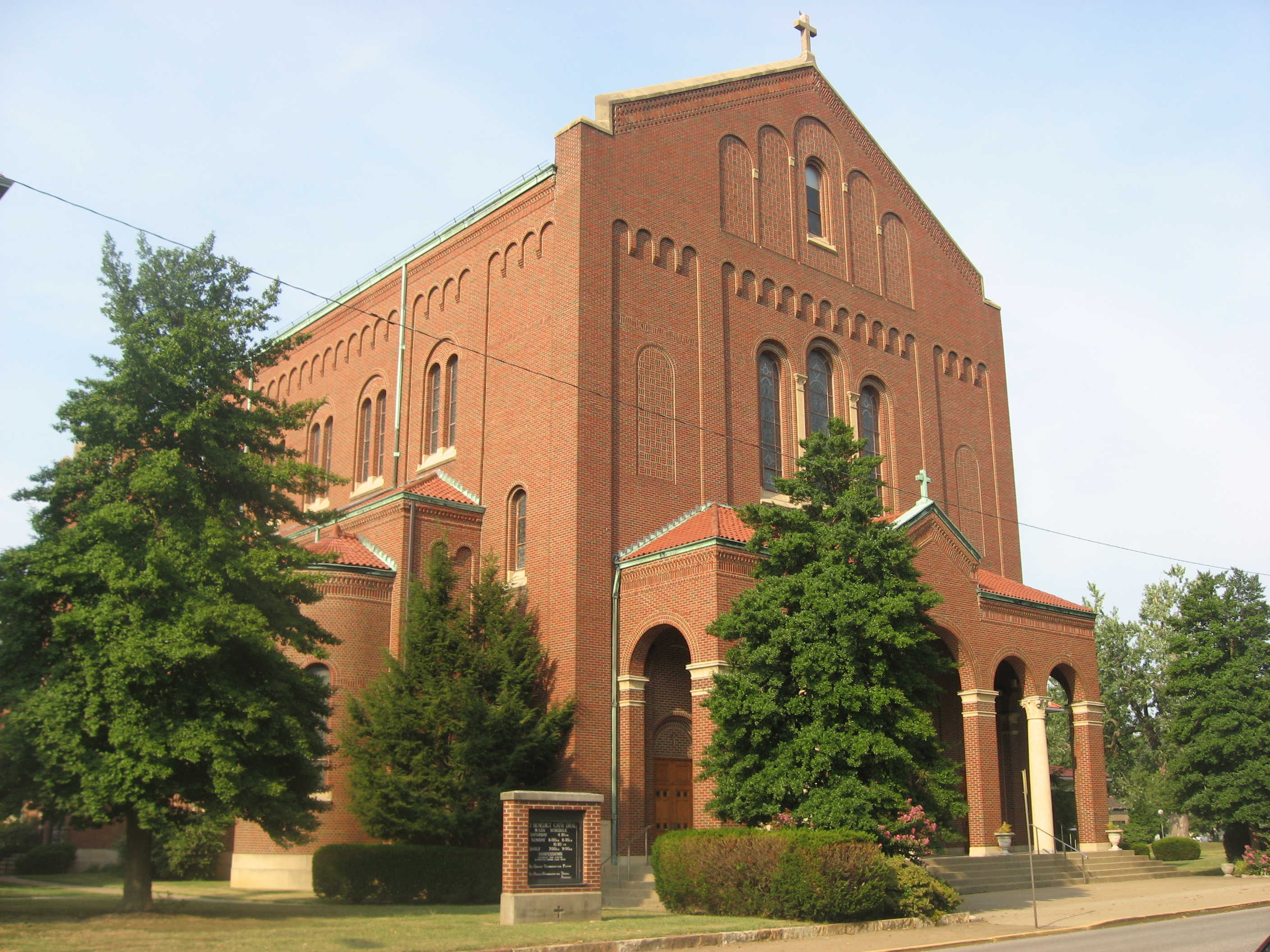
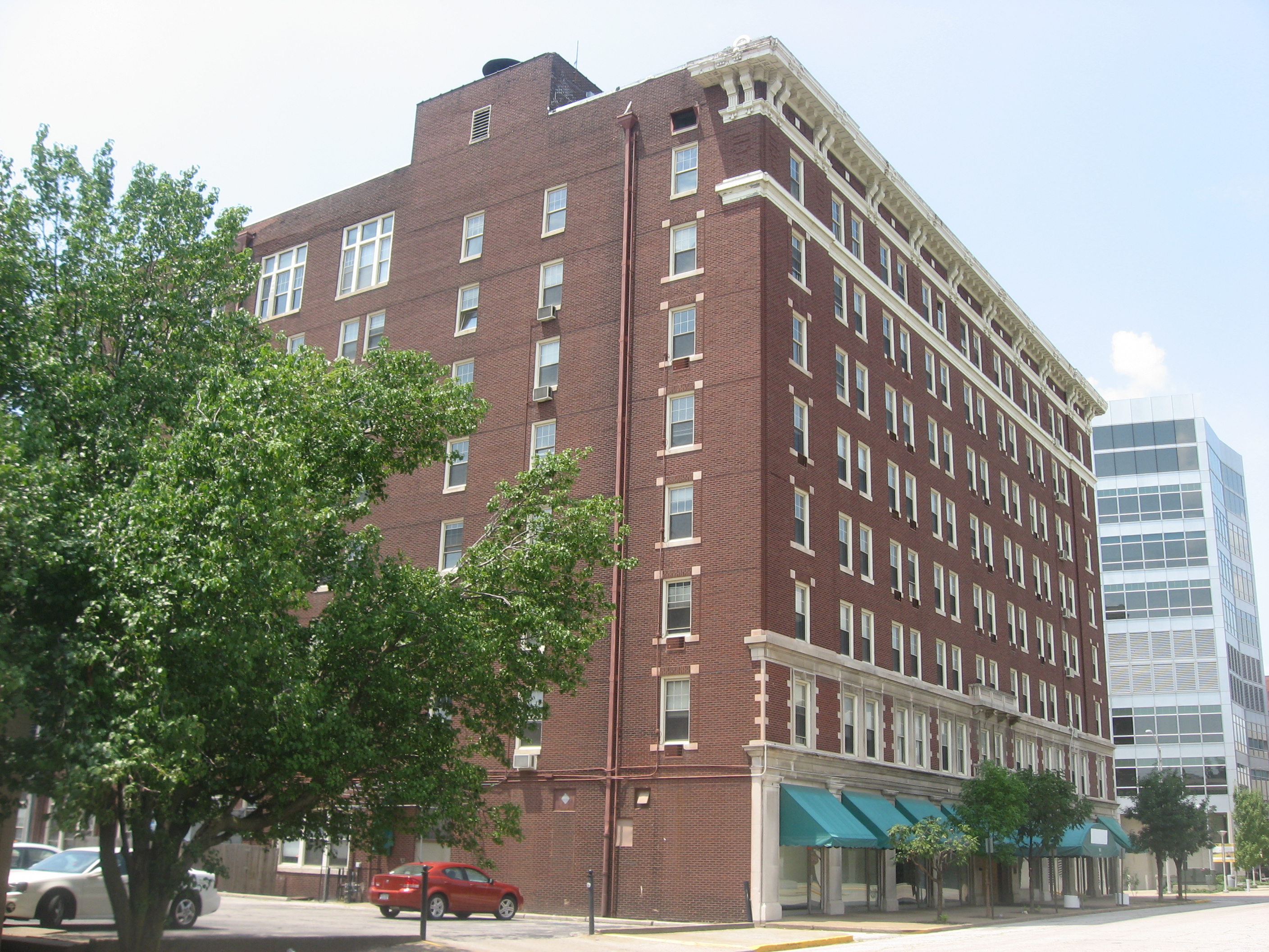
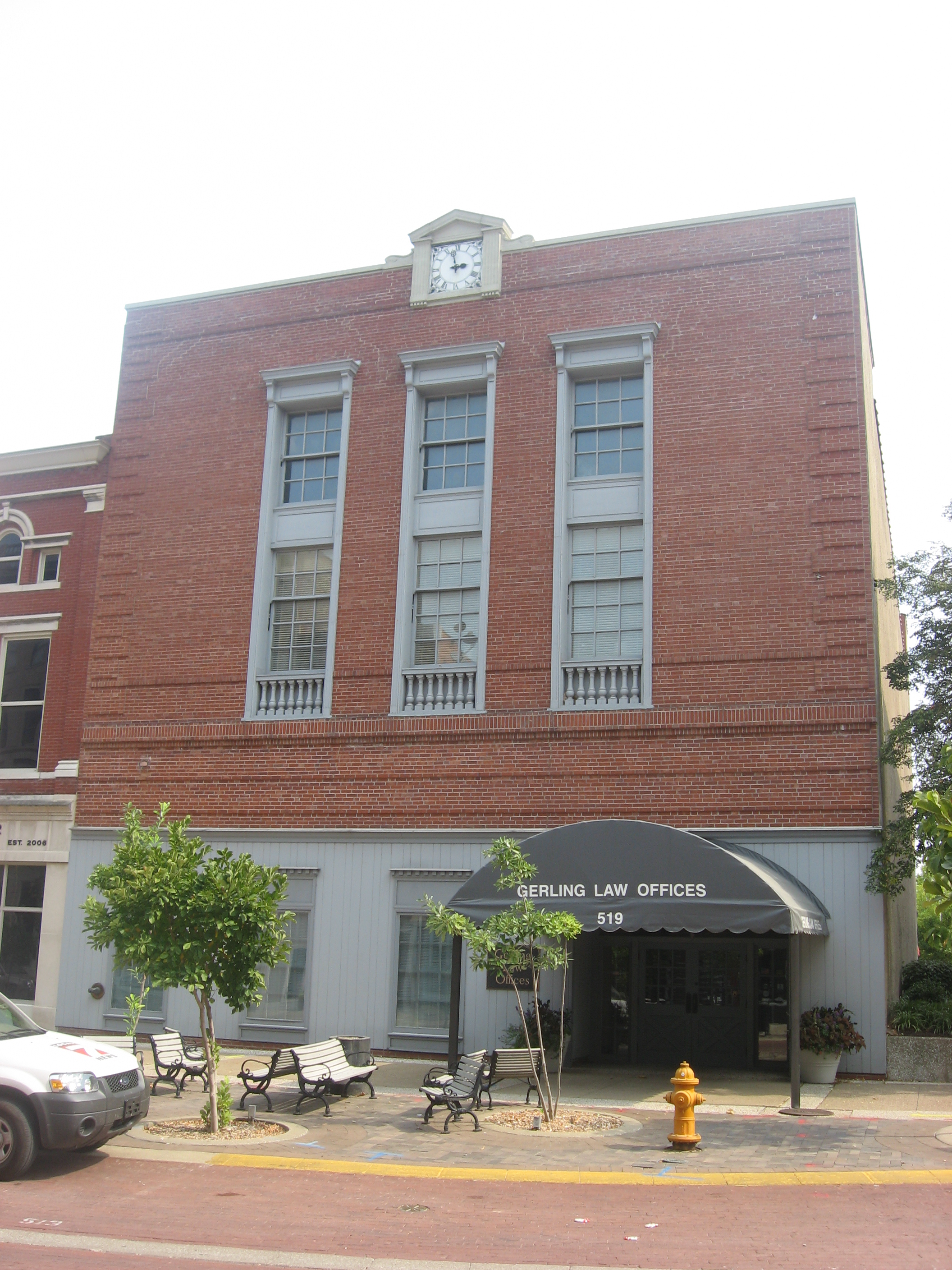
Current listings
[3] Landmark name [4] Image Date listed Location City or town Summary 1 Albion Flats 
July 1, 1982 701 Court St.
37°58′33″N 87°34′10″W / 37.975833°N 87.569444°WEvansville 2 Alhambra Theatorium 
October 1, 1979 50 Adams Ave.
37°57′44″N 87°33′57″W / 37.962222°N 87.565833°WEvansville 3 American Trust and Savings Bank (Indiana Bank) 
July 1, 1982 524-530 Main St.
37°58′21″N 87°34′09″W / 37.9725°N 87.569167°WEvansville 4 Angel Mounds 
October 15, 1966 8 miles southeast of Evansville in Angel Mounds State Memorial
37°56′31″N 87°27′35″W / 37.941944°N 87.459722°WEvansville 5 Auto Hotel Building 
April 6, 1984 111-115 SE. 3rd St.
37°58′11″N 87°34′16″W / 37.969722°N 87.571111°WEvansville 6 Barrett's Britz Building 
April 6, 1984 415 Main St.
37°58′18″N 87°34′14″W / 37.971667°N 87.570556°WEvansville 7 Bayard Park Historic District 
June 27, 1985 Roughly bounded by Gum, Kentucky, Blackford, and Garvin Sts.
37°57′56″N 87°33′06″W / 37.965556°N 87.551667°WEvansville 8 William Bedford Sr. House 
November 28, 1978 838 Washington Ave.
37°57′49″N 87°33′03″W / 37.963611°N 87.550833°WEvansville 9 Bernardin-Johnson House 
June 27, 1989 17 Johnson Pl.
37°58′15″N 87°31′24″W / 37.970833°N 87.523333°WEvansville 10 Bitterman Building 
September 22, 1980 202-204 Main St.
37°58′14″N 87°34′23″W / 37.970694°N 87.573194°WEvansville 11 John W. Boehne House 
February 17, 1983 1119 Lincoln Ave.
37°58′10″N 87°32′42″W / 37.969444°N 87.545°WEvansville 12 Building at 223 Main Street 
July 1, 1982 223 Main St.
37°58′15″N 87°34′21″W / 37.970778°N 87.572389°WEvansville 13 Busse House 
July 1, 1982 120 SE 1st St.
37°58′07″N 87°34′23″W / 37.968611°N 87.573056°WEvansville 14 Cadick Apartments (Plaza Building) 
July 1, 1982 118 SE. 1st St.
37°58′08″N 87°34′23″W / 37.96875°N 87.573056°WEvansville 15 Willard Carpenter House 
February 10, 1978 405 Carpenter St.
37°58′30″N 87°34′32″W / 37.975°N 87.575556°WEvansville 16 Central Library 
July 1, 1982 22 SE. 5th St.
37°58′17″N 87°34′09″W / 37.971389°N 87.569167°WEvansville 17 Citizens National Bank 
July 1, 1982 329 Main St.
37°58′17″N 87°34′17″W / 37.971389°N 87.571389°WEvansville Now Hilliard-Lyons Building 18 Conner's Bookstore 
April 6, 1984 611-613 Main St.
37°58′23″N 87°34′07″W / 37.973056°N 87.568611°WEvansville 19 Court Building (Furniture Building) 
July 1, 1982 123-125 NW. 4th St.
37°58′24″N 87°34′20″W / 37.973333°N 87.572222°WEvansville 20 Culver Historic District June 1, 1984 Roughly bounded by Madison Ave., Riverside Dr., and Emmett and Venice Sts.
37°57′31″N 87°33′52″W / 37.958611°N 87.564444°WEvansville 21 Eagles Home 
July 1, 1982 221 NW. 5th St.
37°58′28″N 87°34′18″W / 37.974444°N 87.571667°WEvansville 22 Evansville Brewing Company 
July 1, 1982 401 NW. 4th St.
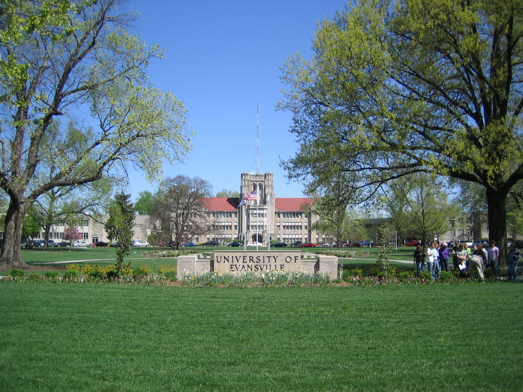
37°58′32″N 87°34′24″W / 37.975556°N 87.573333°WEvansville 23 Evansville College 
February 3, 1983 1800 Lincoln Ave.
37°58′17″N 87°31′54″W / 37.971389°N 87.531667°WEvansville 24 Evansville Journal News 
July 1, 1982 7-11 NW. 5th St.
37°58′22″N 87°34′13″W / 37.972778°N 87.570278°WEvansville 25 Evansville Municipal Market 
December 22, 1983 813 Pennsylvania St.
37°58′41″N 87°34′33″W / 37.978056°N 87.575833°WEvansville 26 Evansville Post Office 
July 2, 1971 100 block of NW. 2nd St.
37°58′17″N 87°34′17″W / 37.971389°N 87.571389°WEvansville 27 Fellwock Garage 
April 6, 1984 315 Court St.
37°58′25″N 87°34′24″W / 37.973611°N 87.573333°WEvansville 28 Firestone Tire and Rubber Store 
April 6, 1984 900 Main St.
37°58′30″N 87°33′57″W / 37.975°N 87.565972°WEvansville 29 Former Vanderburgh County Sheriff's Residence 
October 6, 1970 4th St. between Vine and Court Sts.
37°58′24″N 87°34′22″W / 37.973472°N 87.572778°WEvansville 30 Garvin Park 
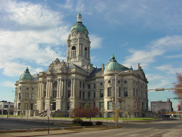
August 29, 1980 N. Main St. and Morgan Ave.
37°59′43″N 87°33′50″W / 37.995278°N 87.563889°WEvansville 31 Fred Geiger and Sons National Biscuit Company 
July 1, 1982 401 NW. 2nd St.
37°58′26″N 87°34′33″W / 37.973889°N 87.575833°WEvansville 32 Gemcraft-Wittmer Building 
April 6, 1984 609 Main St.
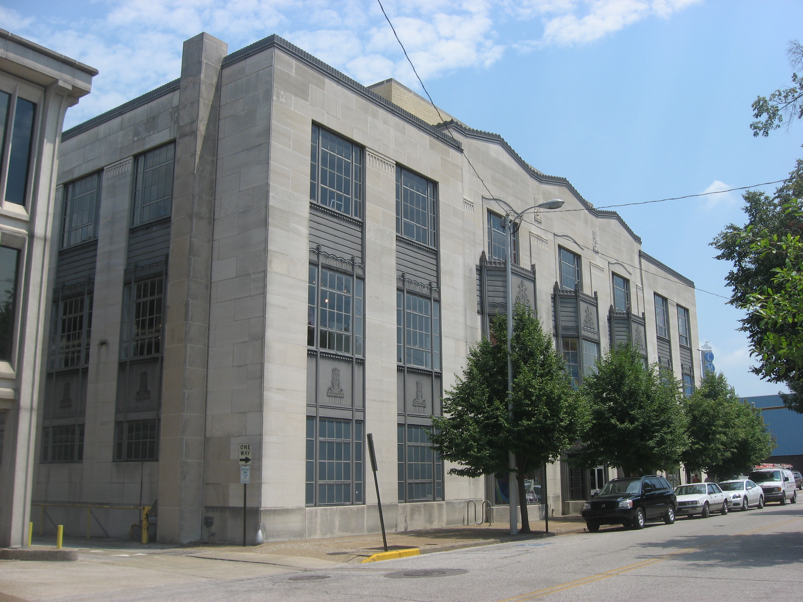
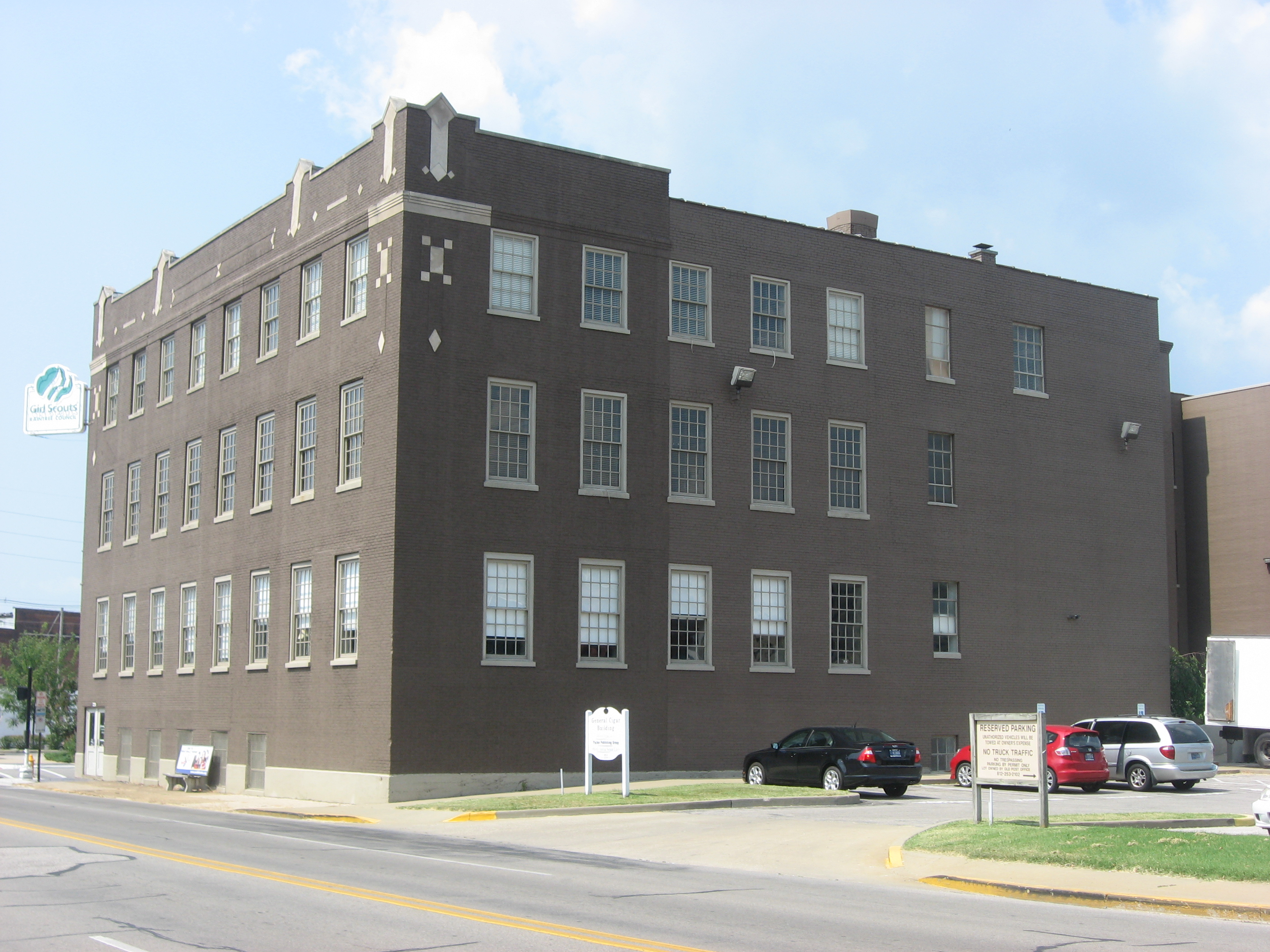
37°58′22″N 87°34′07″W / 37.972778°N 87.568611°WEvansville 33 General Cigar Company 
March 15, 2000 223 NW. 2nd St.
37°58′22″N 87°34′30″W / 37.972778°N 87.575°WEvansville 34 German Bank 
July 1, 1982 301-303 Main St.
37°58′15″N 87°34′19″W / 37.970833°N 87.571944°WEvansville 35 Greyhound Bus Terminal 
October 1, 1979 102 NW. 3rd St.
37°58′19″N 87°34′24″W / 37.971944°N 87.573333°WEvansville 36 Harding and Miller Music Company 
July 1, 1982 518-520 Main St.
37°58′21″N 87°34′10″W / 37.972583°N 87.569444°WEvansville 37 Michael D. Helfrich House 
May 24, 1984 700 Helfrich Lane
37°59′05″N 87°36′23″W / 37.984722°N 87.606389°WEvansville 38 Hooker-Ensle-Pierce House April 28, 1977 6531 Oak Hill Rd.
38°02′12″N 87°30′31″W / 38.036667°N 87.508611°WEvansville 39 Hose House No. 10 
February 11, 1982 119 E. Columbia St.
37°59′04″N 87°33′41″W / 37.984444°N 87.561389°WEvansville 40 Hose House No. 12 
June 17, 1982 1409 1st Ave.
37°59′28″N 87°34′27″W / 37.991111°N 87.574167°WEvansville 41 Huber Motor Sales Building 
April 6, 1984 215-219 SE. 4th St.
37°58′10″N 87°34′10″W / 37.969444°N 87.569444°WEvansville 42 Edgar A. Igleheart House December 18, 1990 5500 Lincoln Ave.
37°58′13″N 87°28′59″W / 37.970278°N 87.483056°WEvansville 43 Independence Historic District 
February 1, 1982 W. Franklin St. and Wabash Ave.
37°58′52″N 87°35′46″W / 37.981111°N 87.596111°WEvansville 44 Indiana Bell Building 
July 1, 1982 129-133 NW. 5th St.
37°58′25″N 87°34′16″W / 37.973611°N 87.571111°WEvansville 45 Ingle Terrace 
July 1, 1982 609-619 Ingle St.
37°58′34″N 87°34′17″W / 37.976111°N 87.571389°WEvansville 46 Koester/Patburg House March 3, 1983 504 Herndon Dr.
37°59′48″N 87°33′22″W / 37.996667°N 87.556111°WEvansville 47 Kuebler-Artes Building 
April 6, 1984 327 Main St.
37°58′17″N 87°34′16″W / 37.971333°N 87.571222°WEvansville 48 August Kuehn House 
July 1, 1982 608-610 Ingel St.
37°58′35″N 87°34′18″W / 37.976389°N 87.571667°WEvansville 49 Charles Leich and Company 
July 1, 1982 420 NW. 5th St.
37°58′34″N 87°34′25″W / 37.976111°N 87.573611°WEvansville 50 Liberty Baptist Church 
December 8, 1978 701 Oak St.
37°58′08″N 87°33′51″W / 37.968889°N 87.564167°WEvansville 51 Lincolnshire Historic District 
October 2, 1989 Roughly bounded by Lincoln, Bennighof, Bellemeade, Lodge, Washington, Harlan, E. Chandler, and College
37°58′01″N 87°32′24″W / 37.966944°N 87.54°WEvansville 52 Lockyear College 
April 6, 1984 209 NW. 5th St.
37°58′27″N 87°34′17″W / 37.974167°N 87.571389°WEvansville 53 Peter Augustus Maier House 
October 29, 1982 707 S. 6th St.
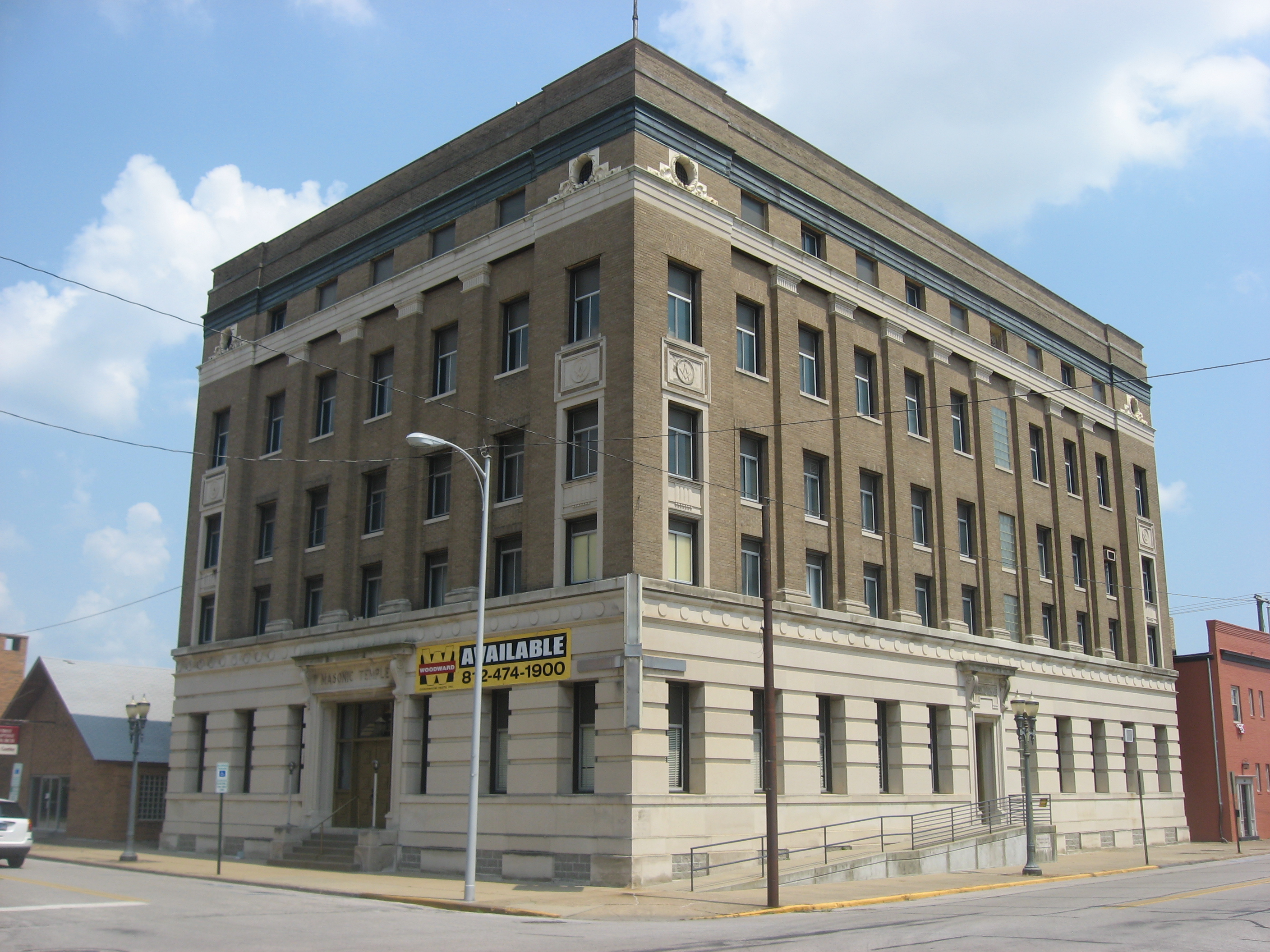
37°57′59″N 87°33′50″W / 37.966389°N 87.563889°WEvansville 54 Masonic Temple 
July 1, 1982 301 Chestnut St.
37°58′07″N 87°34′11″W / 37.968611°N 87.569722°WEvansville 55 McCurdy Building (Sears, Roebuck and Company Building) 
October 1, 1979 101 NW. 4th St.
37°58′22″N 87°34′19″W / 37.972778°N 87.571944°WEvansville 56 McCurdy Hotel 
July 1, 1982 101-111 SE. 1st St.
37°58′08″N 87°34′25″W / 37.968889°N 87.573611°WEvansville 57 McJohnston Chapel and Cemetery January 18, 1979 Kansas Rd. and Erskine Lane
38°03′51″N 87°31′23″W / 38.064167°N 87.523056°WMcCutchanville 58 Mead Johnson River-Rail-Truck Terminal and Warehouse December 27, 1984 1830 W. Ohio St.
37°58′35″N 87°35′31″W / 37.976389°N 87.591944°WEvansville 59 Montgomery Ward Building 
October 6, 1982 517 Main St.
37°58′19″N 87°34′10″W / 37.971944°N 87.569444°WEvansville 60 Morris Plan (Central Union Bank) 
July 1, 1982 20 NW 4th St.
37°58′20″N 87°34′19″W / 37.972222°N 87.571944°WEvansville 61 National City Bank 
July 1, 1982 227 Main St.
37°58′15″N 87°34′20″W / 37.970833°N 87.572222°WEvansville 62 M.G. Newman Building 
July 1, 1982 211-213 SE. 4th St.
37°58′10″N 87°34′10″W / 37.969444°N 87.569583°WEvansville 63 O'Donnell Building 
July 1, 1982 22 NW. 6th St.
37°58′24″N 87°34′10″W / 37.973333°N 87.569583°WEvansville 64 Oak Hill Cemetery March 22, 2004 1400 E. Virginia St.
37°59′17″N 87°32′14″W / 37.988056°N 87.537222°WEvansville 65 Ohio Street Bridge December 17, 1998 Ohio St. over Pigeon Creek
37°58′34″N 87°35′16″W / 37.976111°N 87.587778°WEvansville 66 Old Bittermann Building 
September 22, 1980 200 Main St.
37°58′14″N 87°34′23″W / 37.970556°N 87.573056°WEvansville 67 Old Fellwock Auto Company 
April 6, 1984 214 NW. 4th St.
37°58′25″N 87°34′23″W / 37.973611°N 87.573056°WEvansville 68 Old Vanderburgh County Courthouse 
September 4, 1970 Entire block bounded by Vine, 4th, Court, and 5th Sts.
37°58′26″N 87°34′20″W / 37.973889°N 87.572222°WEvansville 69 Orr Iron Company 
July 1, 1982 1100 Pennsylvania St.
37°58′37″N 87°34′51″W / 37.976944°N 87.580833°WEvansville 70 Parson and Scoville Building 
July 1, 1982 915 Main St.
37°58′30″N 87°33′53″W / 37.975°N 87.564722°WEvansville 71 Pearl Steam Laundry 
April 6, 1984 428 Market St.
37°58′31″N 87°34′30″W / 37.975278°N 87.575°WEvansville 72 L. Puster and Company Furniture Manufactory 
July 1, 1982 326 NW. 6th St.
37°58′33″N 87°34′18″W / 37.975833°N 87.571667°WEvansville 73 John Augustus Reitz House 
October 15, 1973 224 SE. 1st St.
37°58′03″N 87°34′21″W / 37.9675°N 87.5725°WEvansville 74 Ridgway Building 
January 3, 1980 313-315 Main St.
37°58′16″N 87°34′18″W / 37.971111°N 87.571667°WEvansville 75 Riverside Historic District 
November 14, 1978 Roughly bounded by Southlane Dr. and Walnut, 3rd., and Parrett Sts.
37°57′50″N 87°34′10″W / 37.963889°N 87.569444°WEvansville 76 John H. Roelker House 
April 6, 1984 555 Sycamore St.
37°58′24″N 87°34′11″W / 37.973333°N 87.569722°WEvansville 77 Rose Terrace 
July 1, 1982 301-313 NW. 7th St.
37°58′34″N 87°34′12″W / 37.976111°N 87.57°WEvansville 78 St. John's Evangelical Protestant Church 
July 1, 1982 314 Market St.
37°58′28″N 87°34′28″W / 37.974444°N 87.574444°WEvansville 79 Salem's Baptist Church 
July 1, 1982 728 Court St.
37°58′35″N 87°34′09″W / 37.976389°N 87.569167°WEvansville 80 Michael Schaeffer House 
February 11, 1982 118 E. Chandler St.
37°57′58″N 87°33′47″W / 37.966111°N 87.563056°WEvansville 81 Siegel's Department Store July 4, 1982 101-105 SE. 4th St.
37°58′14″N 87°34′14″W / 37.970556°N 87.570556°WEvansville 82 Robert Smith Mortuary 
September 22, 1980 118-120 Walnut St.
37°58′08″N 87°34′20″W / 37.968889°N 87.572222°WEvansville 83 Soldiers and Sailors Memorial Coliseum 
May 10, 1979 350 Court St.
37°58′27″N 87°34′24″W / 37.974167°N 87.573333°WEvansville 84 Sunset Park Pavilion 
June 17, 1992 411 SE. Riverside Dr. in Sunset Park
37°57′57″N 87°34′26″W / 37.965833°N 87.573889°WEvansville 85 Charles Sweeton House March 25, 2005 8700 Old State Rd.
38°03′30″N 87°33′43″W / 38.058333°N 87.561944°WEvansville 86 USS LST 325 (tank landing ship) 
June 24, 2009 840 LST Drive
37°57′11″N 87°34′36″W / 37.953056°N 87.576667°WEvansville 87 Van Cleave Flats 
July 1, 1982 704-708 Court St.
37°58′33″N 87°34′11″W / 37.975972°N 87.569722°WEvansville 88 Victory Theater and Hotel Sonntag 
July 1, 1982 600-614 Main St.
37°58′22″N 87°34′08″W / 37.972778°N 87.568889°WEvansville 89 Washington Avenue Historic District 
November 28, 1980 Roughly bounded by Madison and Grand Aves., E. Gum and Parret Sts.
37°57′51″N 87°33′27″W / 37.964167°N 87.5575°WEvansville 90 Willard Library 
September 28, 1972 21 1st Ave.
37°58′42″N 87°34′27″W / 37.978333°N 87.574167°WEvansville 91 YMCA 
July 1, 1982 203 NW. 5th St.
37°58′27″N 87°34′17″W / 37.974167°N 87.571389°WEvansville 92 YWCA 
July 1, 1982 118 Vine St.
37°58′20″N 87°34′31″W / 37.972222°N 87.575278°WEvansville 93 Zion Evangelical Church 
July 1, 1982 415 NW. 5th St.
37°58′34″N 87°34′23″W / 37.976111°N 87.573056°WEvansville Delisted
Landmark name Image Date removed Location City or Town Summary 1 Buckingham Apartments May 11, 2011 314-316 SE. 3rd St.
37°58′3″N 87°34′10″W / 37.9675°N 87.56944°WEvansville Listed July 1, 1982; part of the Downtown Evansville Multiple Resource Area (MRA) 2 Old Hose House No. 4 June 8, 2011 623 Ingle St.
37°58′35″N 87°34′16″W / 37.97639°N 87.57111°WEvansville Listed July 1, 1982; part of the Downtown Evansville MRA 3 Skora Building November 4, 2009 101-103 NW. 2nd St.
37°58′18″N 87°34′26″W / 37.97167°N 87.57389°WEvansville Listed July 1, 1982; part of the Downtown Evansville MRA 4 Wabash Valley Motor Company June 8, 2011 206-208 SE. 8th St.
37°58′19″N 87°33′54″W / 37.97194°N 87.565°WEvansville Listed July 1, 1982; part of the Downtown Evansville MRA See also
- List of National Historic Landmarks in Indiana
- National Register of Historic Places listings in Indiana
References
- ^ The latitude and longitude information provided in this table was derived originally from the National Register Information System, which has been found to be fairly accurate for about 99% of listings. For about 1% of NRIS original coordinates, experience has shown that one or both coordinates are typos or otherwise extremely far off; some corrections may have been made. A more subtle problem causes many locations to be off by up to 150 yards, depending on location in the country: most NRIS coordinates were derived from tracing out latitude and longitudes off of USGS topographical quadrant maps created under North American Datum of 1927, which differs from the current, highly accurate GPS system used by Google maps. Chicago is about right, but NRIS longitudes in Washington are higher by about 4.5 seconds, and are lower by about 2.0 seconds in Maine. Latitudes differ by about 1.0 second in Florida. Some locations in this table may have been corrected to current GPS standards.
- ^ "National Register of Historic Places: Weekly List Actions". National Park Service, United States Department of the Interior. Retrieved on November 10, 2011.
- ^ Numbers represent an ordering by significant words. Various colorings, defined here, differentiate National Historic Landmark sites and National Register of Historic Places Districts from other NRHP buildings, structures, sites or objects.
- ^ "National Register Information System". National Register of Historic Places. National Park Service. . http://nrhp.focus.nps.gov/natreg/docs/All_Data.html.
U.S. National Register of Historic Places Topics Lists by states Alabama • Alaska • Arizona • Arkansas • California • Colorado • Connecticut • Delaware • Florida • Georgia • Hawaii • Idaho • Illinois • Indiana • Iowa • Kansas • Kentucky • Louisiana • Maine • Maryland • Massachusetts • Michigan • Minnesota • Mississippi • Missouri • Montana • Nebraska • Nevada • New Hampshire • New Jersey • New Mexico • New York • North Carolina • North Dakota • Ohio • Oklahoma • Oregon • Pennsylvania • Rhode Island • South Carolina • South Dakota • Tennessee • Texas • Utah • Vermont • Virginia • Washington • West Virginia • Wisconsin • WyomingLists by territories Lists by associated states Other Municipalities and communities of Vanderburgh County, Indiana City 
Town Townships CDPs Unincorporated
communitiesArmstrong | Belknap | Country Club Meadows | Cypress | Daylight | Earle | Elliott | Harwood | Hillsdale | Inglefield | Kasson | Knob Hill | Lakewood Hills | Lamasco | Martin | McCutchanville | Mechanicsville | Mud Center | Nisbet | Rahm | Red Bank | Saint Joseph | Saint Wendel | Stacer | Stringtown | Vaughan |
Categories:- National Register of Historic Places in Vanderburgh County, Indiana
- National Register of Historic Places in Indiana by county
-


Wikimedia Foundation. 2010.