- National Register of Historic Places listings in Nevada County, California
-
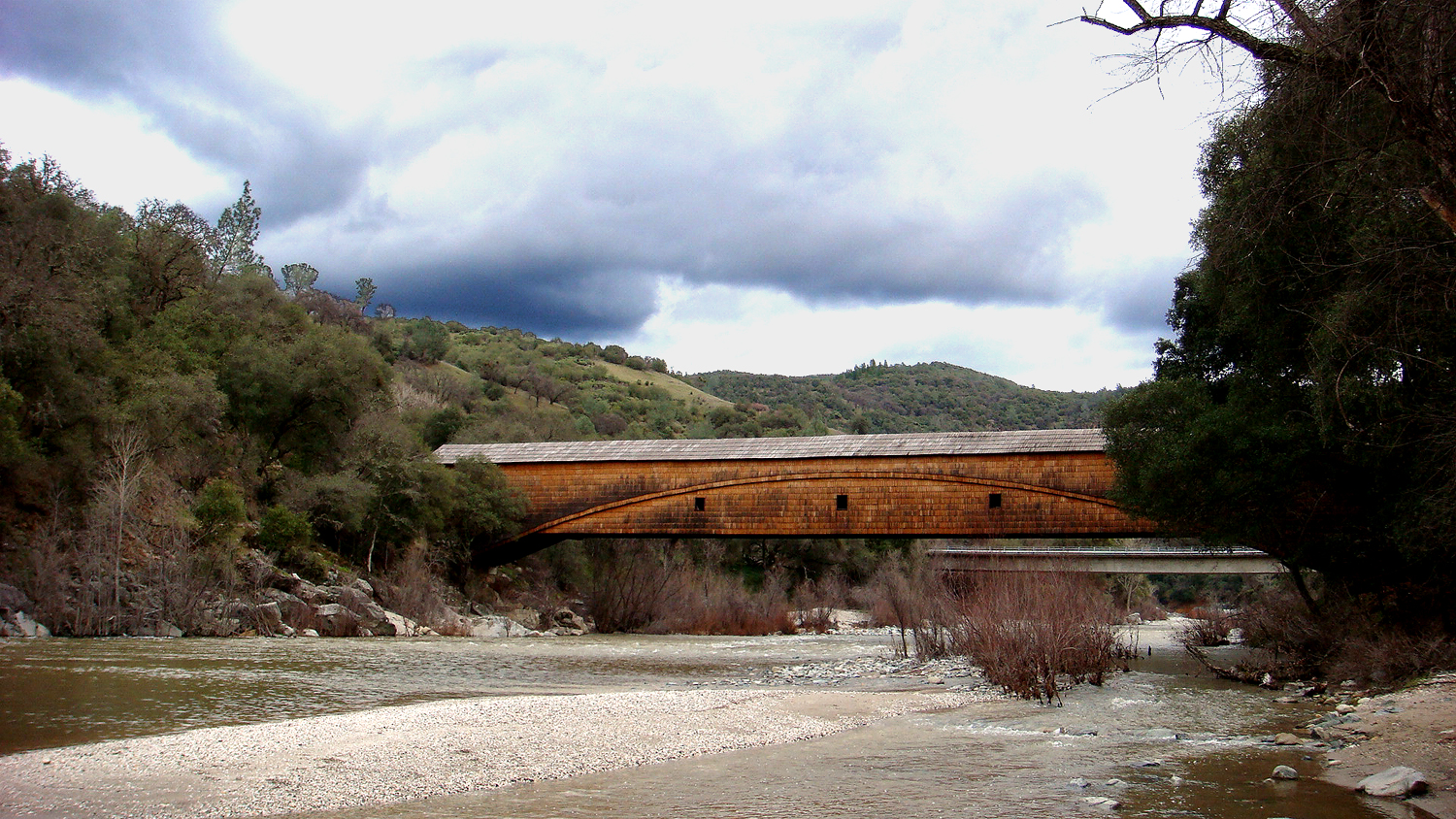
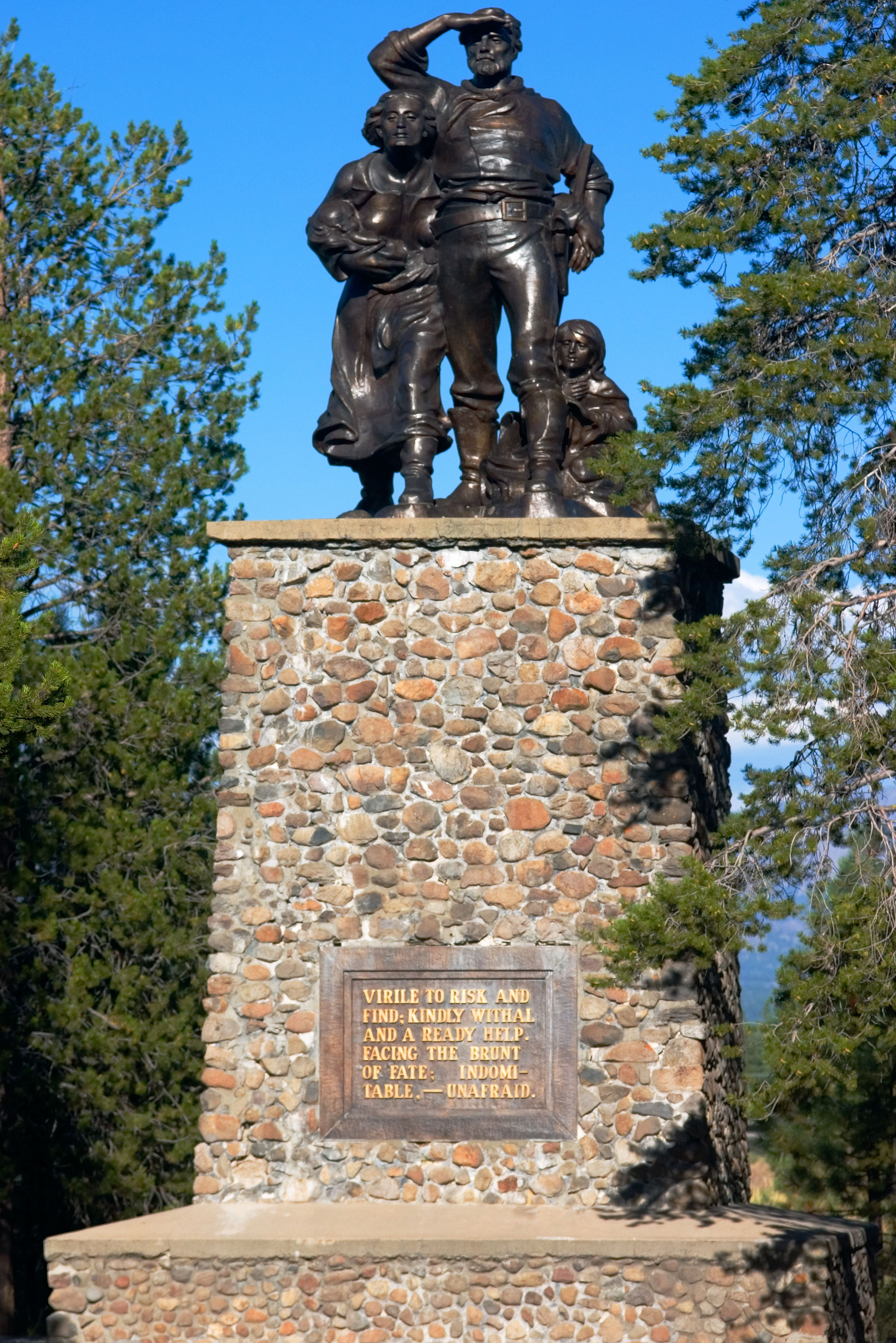
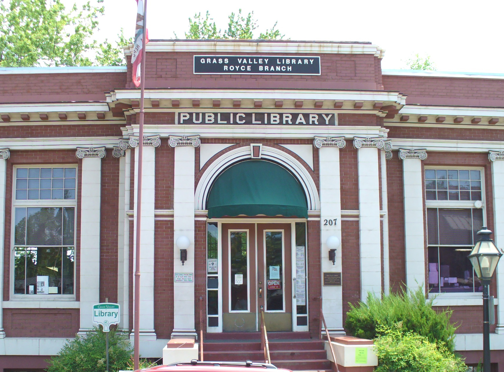
This list includes properties and districts listed on the National Register of Historic Places in Nevada County, California. Click the "Map of all coordinates" link to the right to view a Google map of all properties and districts with latitude and longitude coordinates in the table below.[1]
-
- This National Park Service list is complete through NPS recent listings posted November 10, 2011.[2]
See also
- List of Registered Historic Places in California
- List of National Historic Landmarks in California
References
- ^ The latitude and longitude information provided in this table was derived originally from the National Register Information System, which has been found to be fairly accurate for about 99% of listings. For about 1% of NRIS original coordinates, experience has shown that one or both coordinates are typos or otherwise extremely far off; some corrections may have been made. A more subtle problem causes many locations to be off by up to 150 yards, depending on location in the country: most NRIS coordinates were derived from tracing out latitude and longitudes off of USGS topographical quadrant maps created under the North American Datum of 1927, which differs from the current, highly accurate WGS84 GPS system used by Google maps. Chicago is about right, but NRIS longitudes in Washington are higher by about 4.5 seconds, and are lower by about 2.0 seconds in Maine. Latitudes differ by about 1.0 second in Florida. Some locations in this table may have been corrected to current GPS standards.
- ^ "National Register of Historic Places: Weekly List Actions". National Park Service, United States Department of the Interior. Retrieved on November 10, 2011.
- ^ Numbers represent an ordering by significant words. Various colorings, defined here, differentiate National Historic Landmark sites and National Register of Historic Places Districts from other NRHP buildings, structures, sites or objects.
- ^ "National Register Information System". National Register of Historic Places. National Park Service. . http://nrhp.focus.nps.gov/natreg/docs/All_Data.html.
U.S. National Register of Historic Places Topics Lists by states Alabama • Alaska • Arizona • Arkansas • California • Colorado • Connecticut • Delaware • Florida • Georgia • Hawaii • Idaho • Illinois • Indiana • Iowa • Kansas • Kentucky • Louisiana • Maine • Maryland • Massachusetts • Michigan • Minnesota • Mississippi • Missouri • Montana • Nebraska • Nevada • New Hampshire • New Jersey • New Mexico • New York • North Carolina • North Dakota • Ohio • Oklahoma • Oregon • Pennsylvania • Rhode Island • South Carolina • South Dakota • Tennessee • Texas • Utah • Vermont • Virginia • Washington • West Virginia • Wisconsin • WyomingLists by territories Lists by associated states Other Municipalities and communities of Nevada County, California Cities and towns 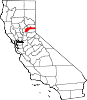
CDPs Alta Sierra | Floriston | Graniteville | Kingvale‡ | Lake of the Pines | Lake Wildwood | North San Juan | Penn Valley | Rough and Ready | Soda Springs | Washington
Unincorporated
communitiesAlta Hill | Bitney Corner | Carpenter Valley | Casey Corner | Cedar Ridge | Chicago Park | Coleman | Crystal Lake | Dew Drop | French Corral | Forest Knolls | Gaston | Gateway | Gold Flat | Higgins Corner | Hills Flat | Hinton | Hirschdale | Junction House | Kres | Lake City | Marsh Mill | Mooney Flat | Mystic | Newtown | Norden | North Bloomfield | North Columbia | Peardale | Pinecrest | Polaris | Relief | Scotts Flat | Sebastopol | Spring Hill | The Oaks | Town Talk | Union Mills | Willow Valley | Wolf | You Bet | Yuba Pass
Ghost towns Alpha | Badger Hill | Balaklava | Bald Eagle | Baltimore Town | Bear River Pines | Bear Valley | Beckmans Flat | Birchville | Blue Tent | Boca | Boston Ravine | Brass Wire Bar | Bridgeport | Brighton House | Bronco | Buena Vista | Burckhalter | Burks Bar | Camp Spaulding | Cascade Diggings | Cedar Kress | Chalk Bluff | Champion | Cherokee | Coyoteville | Crystal Springs | Democrat | Diamond Creek | Diggers Bar | Dillon | Drum | Eagle Bird | Elida | Eureka | Excelsior | Farad | Fernley | Flood | Forest Spring | French Lake | Frenchmans Bar | Gelatt | Glenbrook | Gold Hill | Hacketville | Hobart Mills | Hunt's Hill | Iceland | Indian Springs | Jericho | Jones Bar | La Barr Meadows | Lafayette Hill | Langs | Little York | Louisa | Lowell Hill | Malakoff | Maybert | Meadow Lake | Melburn Hill | Missouri Flat | Moores Flat | Mount Zion | Mountain Well | Mountain View | Negro Flat | Ohm | Omega | Orleans Flat | Pittsburg | Pleasant Flat | Prosser | Prosser Creek | Providence | Randolph House | Rays Flat | Red Diamond | Red Dog | Remington Hill | Rose's Corral | Shands | Shelby Flat | Shellback | Six Mile House | Snow Point | Snow Tent | Spenceville | Spiritsville | Stockings Flat | Sunset View | Sweetland | Tsekankan | Union Hill | Ustoma | Virginia House | Waloupa | White Cloud | Wickes | Wilsonville | Wokodot | Woolsey Flat | Yamako | Zinc House
Footnotes ‡This CDP also has portions in an adjacent county or counties
Categories:- History of Nevada County, California
- History of the Sierra Nevada (U.S.)
- National Register of Historic Places in California by county
- Lists of National Register of Historic Places in California
- Nevada County, California
- California Gold Rush
-


Wikimedia Foundation. 2010.